
TENTEN Campus Glendale
414 N Orange St,
Glendale, CA 91203
$2,746 - $5,030
Studio - 2 Beds


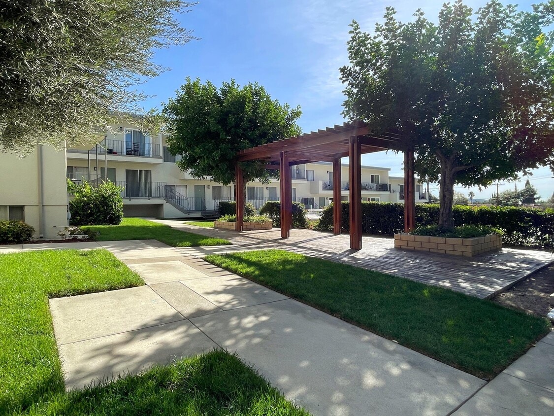
Conveniently located between La Crescenta and Whiting Woods of North Glendale, and less than 2 miles from the shops and restaurants on Honolulu Avenue. This building is also situated just south of the 210 Freeway, public transportation and other local businesses. Don’t miss out on living close to everything amazing about Southern California on a beautiful street!
2841 Montrose Ave is an apartment community located in Los Angeles County and the 91214 ZIP Code. This area is served by the Glendale Unified attendance zone.
Air Conditioning
Dishwasher
High Speed Internet Access
Granite Countertops
Between the Verdugo Mountains and Los Angeles, Glendale combines suburban living with metropolitan convenience. The city offers various housing options, from apartments in downtown near the Americana at Brand to established residential areas like Adams Hill and Verdugo Woodlands. Current rental prices range from $2,045 for studios to $4,344 for four-bedroom units, with annual increases between 1.9% and 3%. Brand Park offers hiking trails and houses the Brand Library, while the historic Alex Theatre continues its tradition of entertainment and cultural programming.
Glendale's location provides easy access to major employment centers, including DreamWorks Animation and Walt Disney Imagineering. The Glendale Galleria and Americana at Brand serve as premier shopping destinations, while the city's dining scene features numerous restaurants specializing in Armenian and international cuisine. Residents appreciate the city's parks system, public services, and transportation options.
Learn more about living in GlendaleCompare neighborhood and city base rent averages by bedroom.
| Montrose Verdugo City | Glendale, CA | |
|---|---|---|
| Studio | $1,643 | $2,036 |
| 1 Bedroom | $1,716 | $2,077 |
| 2 Bedrooms | $2,296 | $2,623 |
| 3 Bedrooms | $3,286 | $3,449 |
| Colleges & Universities | Distance | ||
|---|---|---|---|
| Colleges & Universities | Distance | ||
| Drive: | 8 min | 4.3 mi | |
| Drive: | 14 min | 7.2 mi | |
| Drive: | 15 min | 8.5 mi | |
| Drive: | 18 min | 10.5 mi |


Transportation options available in Glendale include Memorial Park Station, located 8.6 miles from 2841 Montrose Ave. 2841 Montrose Ave is near Bob Hope, located 10.6 miles or 18 minutes away, and Los Angeles International, located 28.3 miles or 43 minutes away.
| Transit / Subway | Distance | ||
|---|---|---|---|
| Transit / Subway | Distance | ||
|
|
Drive: | 12 min | 8.6 mi |
|
|
Drive: | 13 min | 8.9 mi |
|
|
Drive: | 11 min | 9.2 mi |
|
|
Drive: | 13 min | 9.5 mi |
|
|
Drive: | 17 min | 10.6 mi |
| Commuter Rail | Distance | ||
|---|---|---|---|
| Commuter Rail | Distance | ||
|
|
Drive: | 15 min | 9.5 mi |
|
|
Drive: | 16 min | 9.8 mi |
|
|
Drive: | 14 min | 10.2 mi |
| Drive: | 17 min | 10.4 mi | |
|
|
Drive: | 19 min | 11.4 mi |
| Airports | Distance | ||
|---|---|---|---|
| Airports | Distance | ||
|
Bob Hope
|
Drive: | 18 min | 10.6 mi |
|
Los Angeles International
|
Drive: | 43 min | 28.3 mi |
Time and distance from 2841 Montrose Ave.
| Shopping Centers | Distance | ||
|---|---|---|---|
| Shopping Centers | Distance | ||
| Walk: | 8 min | 0.5 mi | |
| Walk: | 18 min | 1.0 mi | |
| Drive: | 3 min | 1.3 mi |
| Parks and Recreation | Distance | ||
|---|---|---|---|
| Parks and Recreation | Distance | ||
|
Descanso Gardens
|
Drive: | 6 min | 2.5 mi |
|
La Tuna Canyon Park
|
Drive: | 6 min | 4.1 mi |
|
Jet Propulsion Laboratory
|
Drive: | 8 min | 6.0 mi |
|
Kidspace Children's Museum
|
Drive: | 11 min | 7.9 mi |
|
Los Angeles Zoo
|
Drive: | 23 min | 10.0 mi |
| Hospitals | Distance | ||
|---|---|---|---|
| Hospitals | Distance | ||
| Drive: | 4 min | 1.9 mi | |
| Drive: | 11 min | 6.4 mi | |
| Drive: | 14 min | 10.2 mi |
| Military Bases | Distance | ||
|---|---|---|---|
| Military Bases | Distance | ||
| Drive: | 40 min | 29.9 mi |
What Are Walk Score®, Transit Score®, and Bike Score® Ratings?
Walk Score® measures the walkability of any address. Transit Score® measures access to public transit. Bike Score® measures the bikeability of any address.
What is a Sound Score Rating?
A Sound Score Rating aggregates noise caused by vehicle traffic, airplane traffic and local sources
2841-2851 Montrose Ave
Glendale, CA 91214


 - Violet on Virgil")


