-
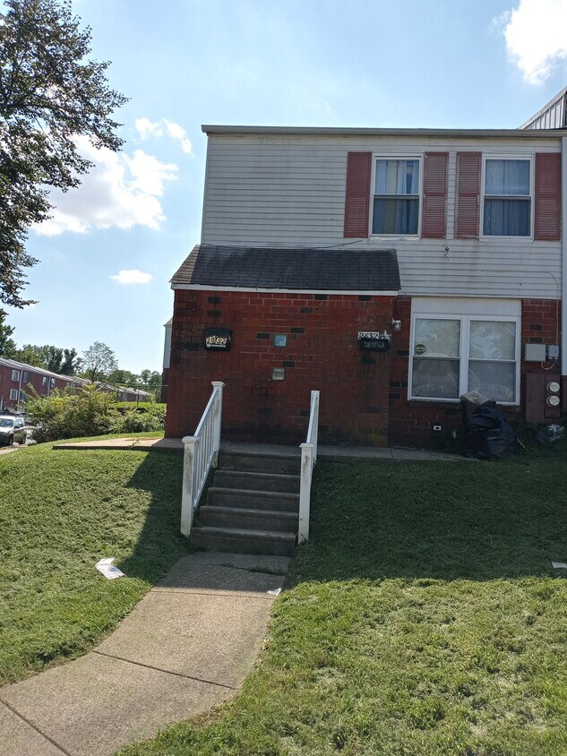
Exterior front
-
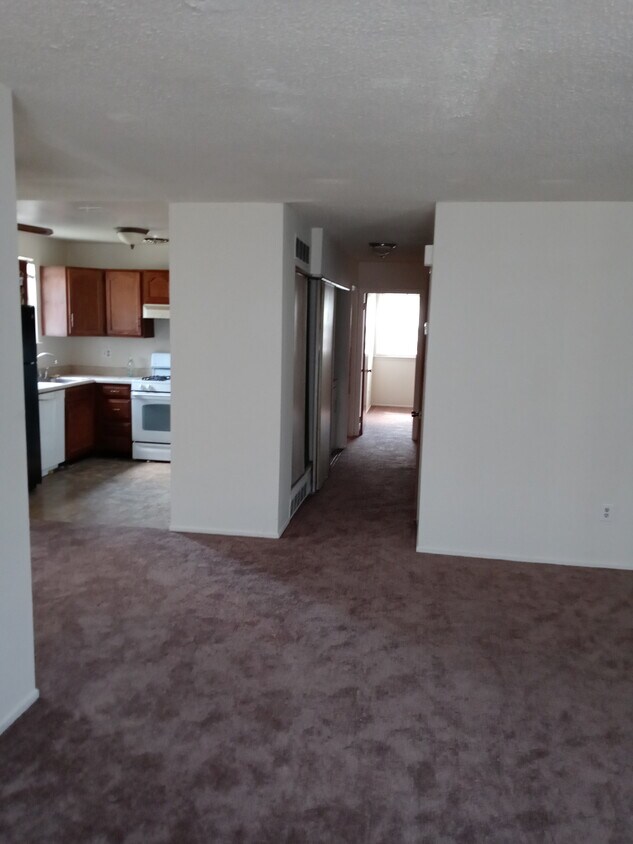
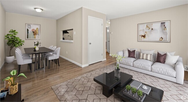
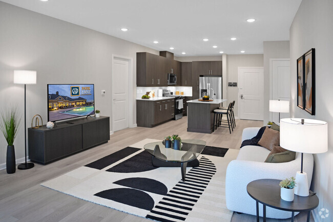
LR,DR,Kitchen
-
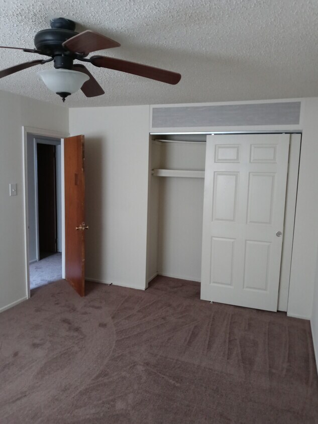
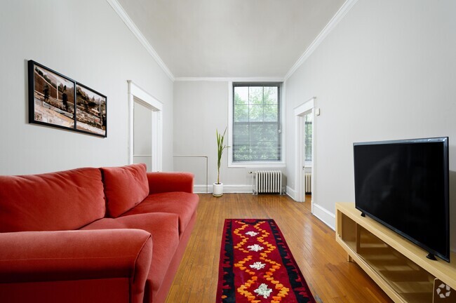
Bedroom 1
-
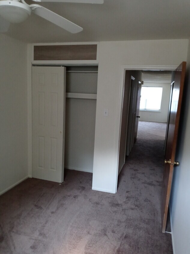
Bedroom 2
$1,000 / Month
2832 Saxton Rd Unit 1
Philadelphia, PA 19114
2 Weeks Ago
Favorites
2832 Saxton Rd Unit 1

Favorites
Check Back Soon for Upcoming Availability
| Beds | Baths | Average SF |
|---|---|---|
| 2 Bedrooms 2 Bedrooms 2 Br | 1 Bath 1 Bath 1 Ba | 650 SF |
Fees and Policies
The fees below are based on community-supplied data and may exclude additional fees and utilities.
- Parking
-
Other--
Details
Utilities Included
-
Water
-
Sewer
Property Information
-
2 units
About This Property
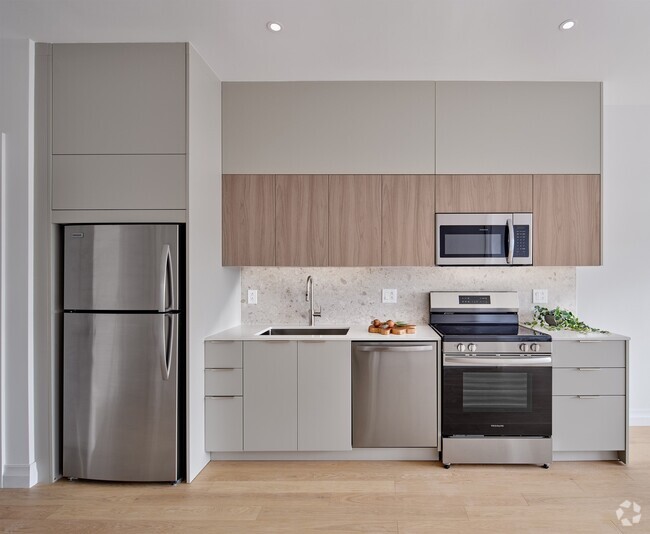
Freshly painted 1st floor, 2 bedroom, 1 bath apartment with new carpets, central air, laundry in the unit, and driveway parking. Lots of good closet space too. Water included up to a capped amount.
2832 Saxton Rd is an apartment community located in Philadelphia County and the 19114 ZIP Code.
Apartment Features
- Washer/Dryer
Location
Get Directions
Nestled along the Delaware River, Torresdale is a wooded neighborhood located about 13 miles northeast of Center City, Philadelphia’s downtown district. There are several parks and a golf course for residents to enjoy. Pennypack Park neighbors Torresdale to the west and is a popular spot for mountain biking and fishing. There are multiple restaurants, grocers, and shopping plazas located in and around Torresdale, so residents have access to plenty of amenities. There is a wide variety of rental options available for every budget and style including houses, apartments, condos, and townhomes. Along with a train station, U.S. Route 13 and Interstate 13 run through Torresdale, so the neighborhood is a great option for renters who commute to work or want a quieter setting that isn’t too far from the heart of the city.
Learn more about living in TorresdaleBelow are rent ranges for similar nearby apartments
Amenities
- Washer/Dryer
Expenses
Utilities Included
Water, Sewer
Included
Education
| Colleges & Universities | Distance | ||
|---|---|---|---|
| Colleges & Universities | Distance | ||
| Drive: | 5 min | 2.1 mi | |
| Drive: | 10 min | 4.2 mi | |
| Drive: | 17 min | 9.2 mi | |
| Drive: | 20 min | 9.2 mi |
2832 Saxton Rd Unit 1 is within 5 minutes or 2.1 miles from Holy Family University. It is also near C.C. of Philadelphia, NE Ctr and Penn State Abington.
Transportation options available in Philadelphia include Palmyra Light Rail Station, located 8.4 miles from 2832 Saxton Rd Unit 1. 2832 Saxton Rd Unit 1 is near Trenton Mercer, located 21.3 miles or 34 minutes away, and Philadelphia International, located 24.1 miles or 38 minutes away.
| Transit / Subway | Distance | ||
|---|---|---|---|
| Transit / Subway | Distance | ||
|
|
Drive: | 20 min | 8.4 mi |
|
|
Drive: | 21 min | 9.1 mi |
|
|
Drive: | 23 min | 9.8 mi |
|
|
Drive: | 26 min | 12.4 mi |
|
|
Drive: | 29 min | 13.8 mi |
| Commuter Rail | Distance | ||
|---|---|---|---|
| Commuter Rail | Distance | ||
|
|
Drive: | 6 min | 2.4 mi |
|
|
Drive: | 9 min | 3.0 mi |
|
|
Drive: | 11 min | 4.9 mi |
|
|
Drive: | 11 min | 5.3 mi |
|
|
Drive: | 11 min | 5.4 mi |
| Airports | Distance | ||
|---|---|---|---|
| Airports | Distance | ||
|
Trenton Mercer
|
Drive: | 34 min | 21.3 mi |
|
Philadelphia International
|
Drive: | 38 min | 24.1 mi |
Time and distance from 2832 Saxton Rd Unit 1.
| Shopping Centers | Distance | ||
|---|---|---|---|
| Shopping Centers | Distance | ||
| Walk: | 15 min | 0.8 mi | |
| Drive: | 3 min | 1.1 mi | |
| Drive: | 3 min | 1.2 mi |
2832 Saxton Rd Unit 1 has 3 shopping centers within 1.2 miles, which is about a 3-minute walk. The miles and minutes will be for the farthest away property.
| Parks and Recreation | Distance | ||
|---|---|---|---|
| Parks and Recreation | Distance | ||
|
Insectarium
|
Drive: | 8 min | 2.3 mi |
|
Pennypack Park
|
Drive: | 7 min | 3.3 mi |
|
Lorimer Park
|
Drive: | 11 min | 4.4 mi |
|
Benjamin Rush State Park
|
Drive: | 15 min | 6.0 mi |
|
Amico Island Park
|
Drive: | 27 min | 12.0 mi |
2832 Saxton Rd Unit 1 has 5 parks within 12.0 miles, including Insectarium, Pennypack Park, and Lorimer Park.
| Hospitals | Distance | ||
|---|---|---|---|
| Hospitals | Distance | ||
| Drive: | 6 min | 2.0 mi | |
| Drive: | 6 min | 2.9 mi | |
| Drive: | 12 min | 6.1 mi |
2832 Saxton Rd Unit 1 has 3 hospitals within 6.1 miles, the nearest is Nazareth Hospital which is 2.0 miles away and a 6 minute drive.
| Military Bases | Distance | ||
|---|---|---|---|
| Military Bases | Distance | ||
| Drive: | 25 min | 13.3 mi | |
| Drive: | 29 min | 15.3 mi |
2832 Saxton Rd Unit 1 is 13.3 miles from Naval Air Development Center, and is convenient to other military bases, including Willow Grove Naval Air Station.
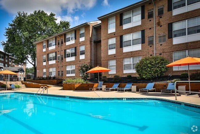
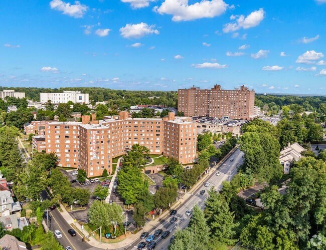
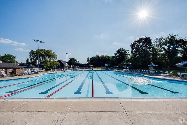
You May Also Like
Similar Rentals Nearby


What Are Walk Score®, Transit Score®, and Bike Score® Ratings?
Walk Score® measures the walkability of any address. Transit Score® measures access to public transit. Bike Score® measures the bikeability of any address.
What is a Sound Score Rating?
A Sound Score Rating aggregates noise caused by vehicle traffic, airplane traffic and local sources

2832 Saxton Rd
Philadelphia, PA 19114