

$2,300 / Month

2633 Lani Ct

,

Charleston, SC 29414

Share Listing
Favorites
843-627-2328
  • Bedrooms

    3

  • Bathrooms

    2

  • Square Feet

    1,372 sq ft

  • Available

    Available Now

2633 Lani Ct
Share Listing
Favorites

About This Home

$2,300 deposit, Available Now

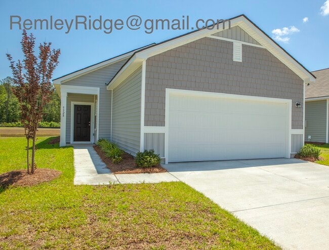
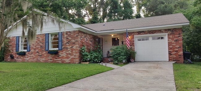
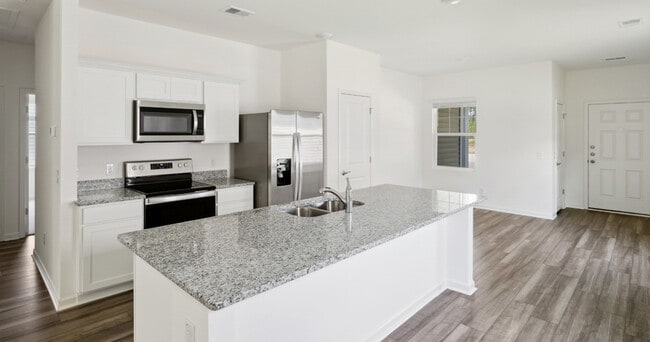
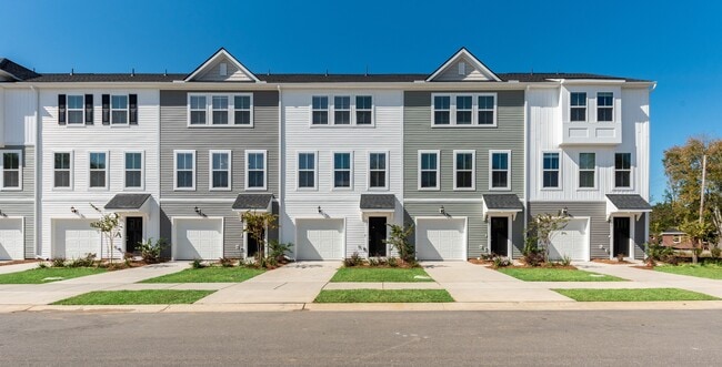
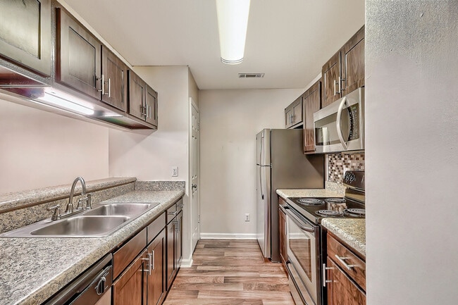
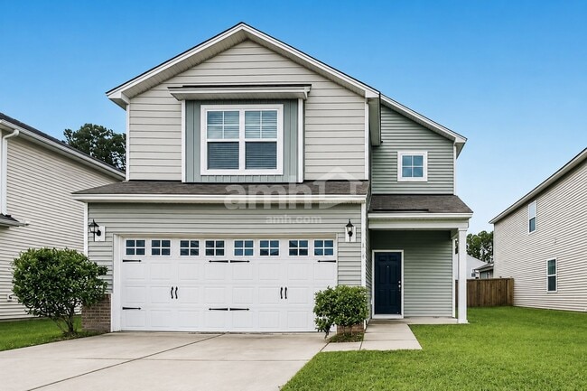
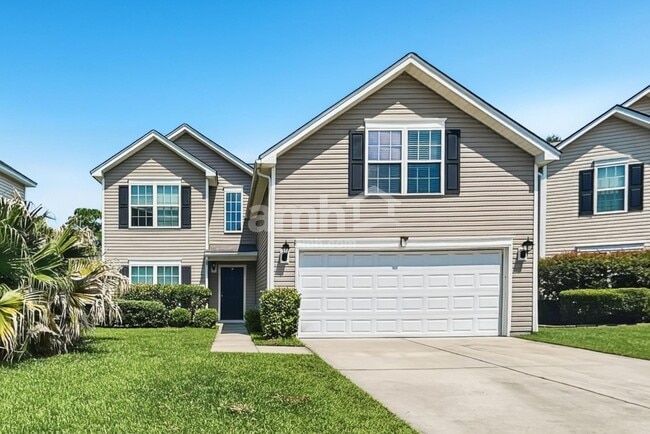
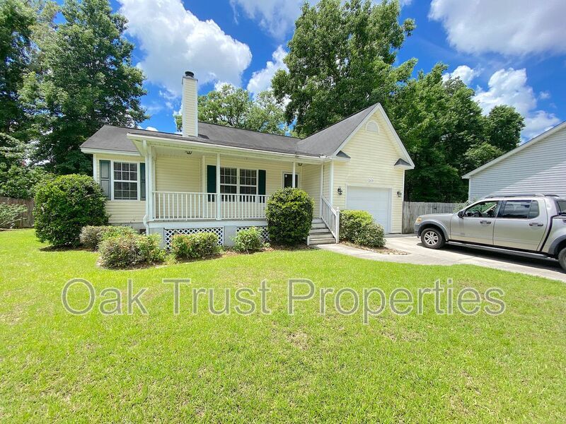
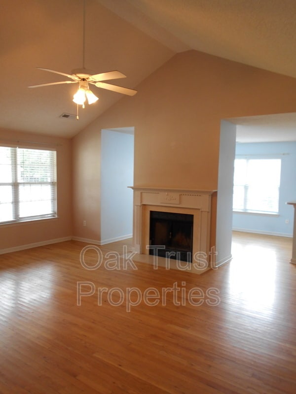
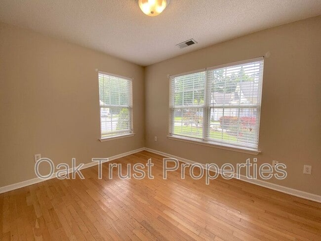
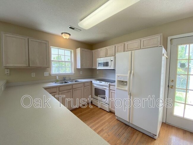
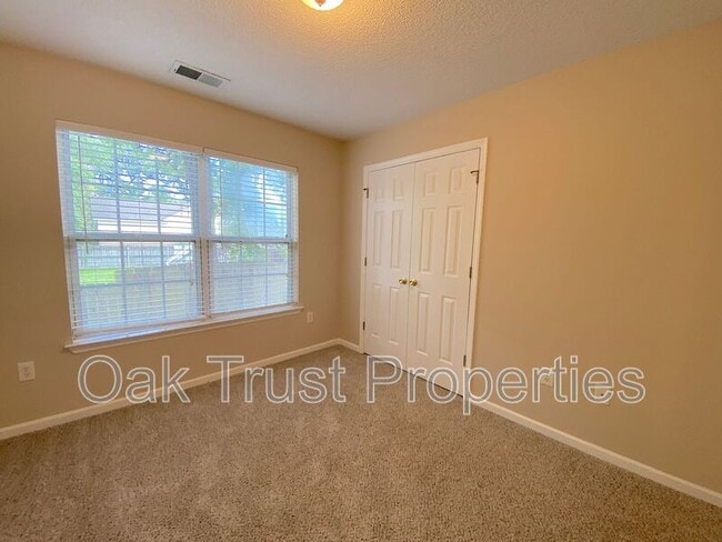
Copy this link to your browser to request a showing: Charming 3 bedroom, 2 bathroom single story home located in the Glendale Crossing neighborhood in West Ashley! This home boasts a spacious kitchen with breakfast bar, hardwood floors throughout the main living area, an inviting front porch, a vaulted ceiling in the living room, a tray ceiling and ceiling fan in the master bedroom, a fully fenced-in backyard and a 1 car garage! Washer and dryer hookups available for your convenience. Pets negotiable with a $250 non-refundable pet fee, per pet. 2 pet max, $35 monthly pet fee per pet. Apply online at: $65 application fee per adult.

2633 Lani Ct is a house located in Charleston County and the 29414 ZIP Code. This area is served by the Charleston 01 School District attendance zone.

* Price shown is base rent. Excludes user-selected optional fees and variable or usage-based fees and required charges due at or prior to move-in or at move-out. Price, availability, fees, and any applicable rent special are subject to change without notice.
* Square footage definitions vary. Displayed square footage is approximate.

Fees and Policies

The fees listed below are community-provided and may exclude utilities or add-ons. All payments are made directly to the property and are non-refundable unless otherwise specified.

  • Dogs Allowed
  • Fees not specified
  • Cats Allowed
  • Fees not specified

Contact

  • Listed by Oak Trust Properties
  • Phone Number
  • Contact
| Edit

Under 30 minutes

Commute Time is calculated at rush hour.
Neighborhood

West Ashley sits within the city of Charleston and is west of the Ashley River, hence its name, and is the birthplace of Hootie & the Blowfish’s frontman, Darius Rucker. Lined with mossy oaks, the Ashley and Stono Rivers border West Ashley, creating the breathtaking scenery for which Charleston is known. West Ashley residents enjoy close proximity to the area's only indoor mall, the Citadel Mall, and a large number of big-box stores.

Situated seven miles due west of Downtown Charleston, residents can plan on a 15- to 30-minute drive, depending on traffic, to take in all downtown has to offer. Nearby Interstate 526, which feeds directly into Charleston’s Interstate Highway 26, gives residents a fast and easy route in and out of area. Mid- to late-1900s ranch-style homes characterize the housing in outer West Ashley, but neighborhoods built in the 2000s also sprinkle the area.

Learn more about living in West Ashley 
Education
Colleges & Universities Distance
Drive: 11 min 6.3 mi
Drive: 15 min 8.0 mi
Drive: 19 min 9.2 mi
Drive: 19 min 12.9 mi
2633 Lani Ct is within 11 minutes or 6.3 miles from Southern Wesleyan, Charleston. It is also near Medical Univ. of S.C. and The Citadel.
Schools
Public Elementary School
Grades PK-5
679 Students
Attendance Zone
Grades 6-8
1,299 Students
Attendance Zone
Public High School
Grades 9-12
1,935 Students
Attendance Zone
Private Elementary & Middle School
Grades PK-8
64 Students
Nearby
Private Elementary, Middle & High School
Grades K-12
30 Students
Nearby
Transportation

Transportation options available in Charleston include Fort Sumter Visitor Center, located 9.9 miles from 2633 Lani Ct. 2633 Lani Ct is near Charleston AFB/International, located 12.4 miles or 19 minutes away.

Transit / Subway Distance
Drive: 19 min 9.9 mi
Drive: 25 min 13.2 mi
Commuter Rail Distance
Drive: 17 min 9.8 mi
Airports Distance
Airports Distance
Charleston AFB/International
Drive: 19 min 12.4 mi
Getting Around
Fairly Walkable
Walkability
40 / 100
Limited Public Transit
Transit
30 / 100
Exceptionally Drivable
Drivability
90 / 100
Somewhat Bikeable
Bikeability
30 / 100

Scores provided by

What do Walkability, Transit, Drivability, and Bikeability mean? Walkability measures the walking distance to day-to-day needs. Transit measures access to public transportation. Drivability measures congestion, parking availability, and access to major roads. Bikeability measures the suitability for cycling. How It Works
Active
Soundscore
75 / 100

Traffic

Busy

Airport

Active

Businesses

Calm

Scores provided by

HowLoud What is a Sound Score Rating? A Sound Score Rating aggregates noise caused by vehicle traffic, airplane traffic and local sources. How It Works
Points of Interest

Time and distance from 2633 Lani Ct.

Shopping Centers Distance
Walk: 11 min 0.6 mi
Walk: 14 min 0.7 mi
Drive: 2 min 1.2 mi
2633 Lani Ct has 3 shopping centers within 1.2 miles, which is about a 2-minute drive. The miles and minutes will be for the farthest away property.
Parks and Recreation Distance
Magnolia Plantation and Gardens
Drive: 7 min 4.1 mi
Charles Towne Landing State Historic Site
Drive: 10 min 5.3 mi
McLeod Plantation Historic Site
Drive: 16 min 8.0 mi
Children's Museum of the Lowcountry
Drive: 17 min 9.1 mi
Cooper River Marina
Drive: 24 min 11.0 mi
2633 Lani Ct has 5 parks within 11.0 miles, including Magnolia Plantation and Gardens, Charles Towne Landing State Historic Site, and McLeod Plantation Historic Site.
Hospitals Distance
Hospitals Distance
Drive: 5 min 2.7 mi
Drive: 16 min 8.7 mi
Drive: 17 min 9.0 mi
2633 Lani Ct has 3 hospitals within 9.0 miles, the nearest is Bon Secours St. Francis Hospital which is 2.7 miles away and a 5 minute drive.
Military Bases Distance
Drive: 17 min 8.7 mi
Drive: 21 min 10.3 mi
Drive: 18 min 11.1 mi
2633 Lani Ct has 3 military bases within 11.1 miles, the nearest is Charleston Coast Guard Station which is 8.7 miles away and a 17 minute drive.

You May Also Like

Similar Rentals Nearby