

$2,650 / Month

2631 W Superior St

,

Chicago, IL 60612

Share Listing
Favorites
847-644-4379
  • Bedrooms

    2

  • Bathrooms

    1

  • Square Feet

    1,200 sq ft

  • Available

    Available Oct 1

2631 W Superior St
Share Listing
Favorites

About This Home

Available Oct 1

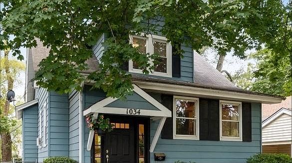
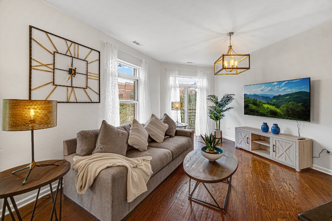
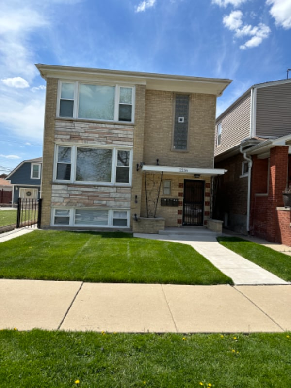
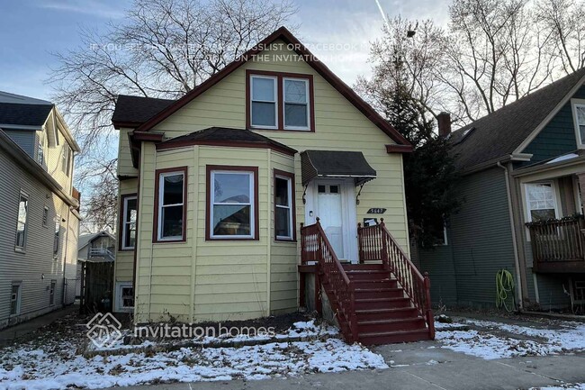
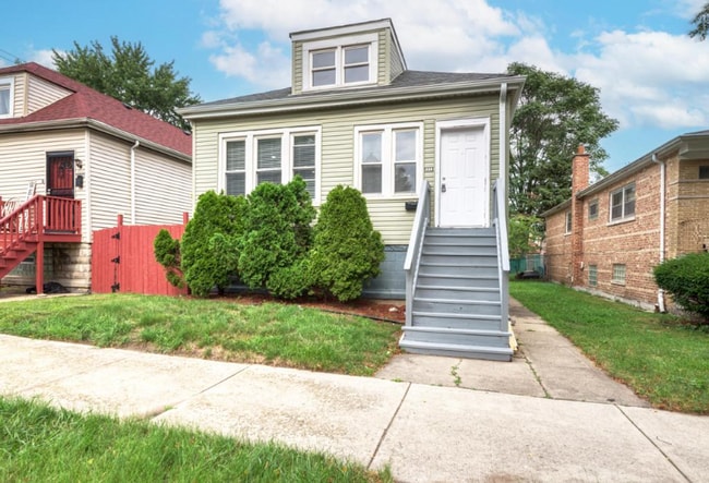
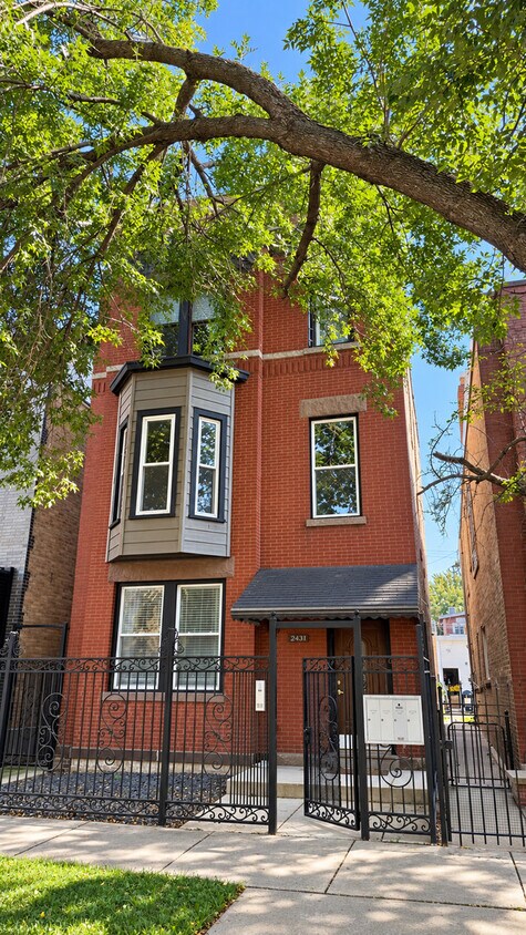
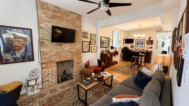
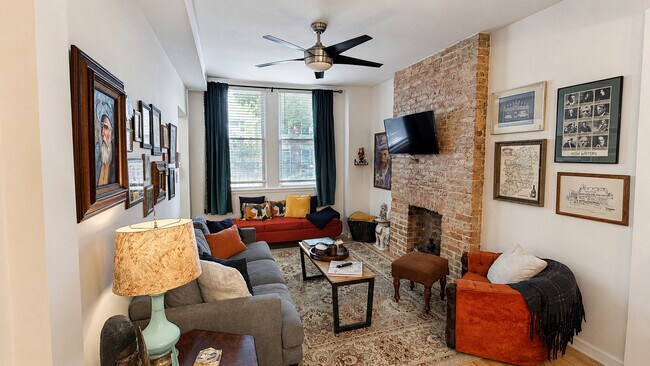
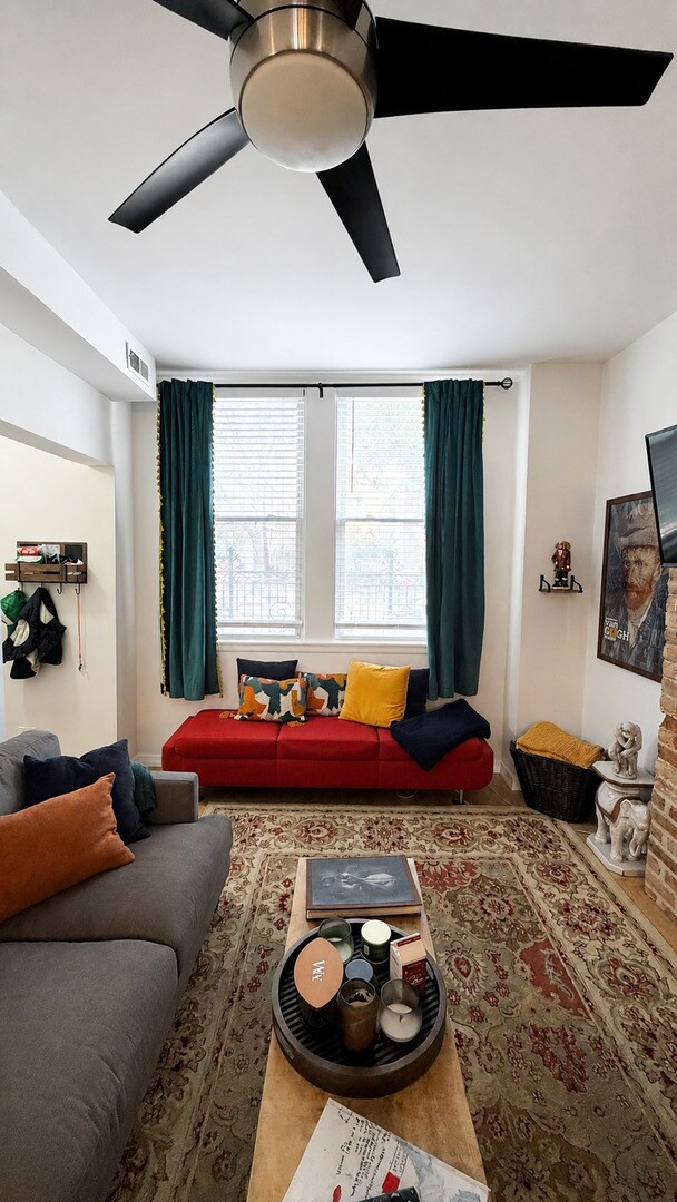
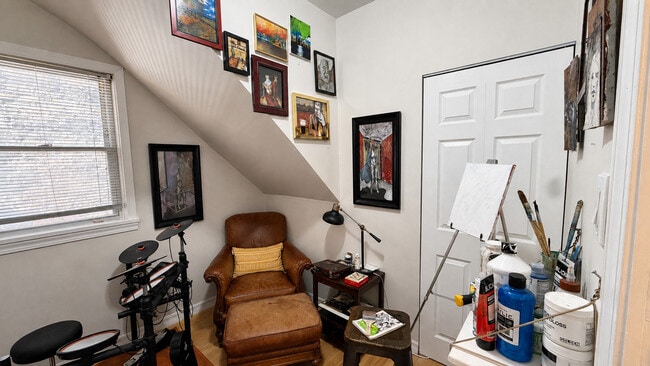
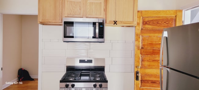
Charming 2 bed + den + sun room,1 bath apartment with high ceilings in vibrant West Town/Ukranian Village! Features hardwood floors,large & modern kitchen with stainless steel appliances,spacious living & dining area,gated exterior and in-unit laundry. Conveniently located at Rockwell and Superior Streets puts you around the corner from Smith Park,KAI ZAN,REPS Fitness,CVS,Dark Matter,and more. This property is centrally located just steps away from Chicago Ave 66 bus and Grand Ave 65 bus routes,as well as the Western Ave Metra station. Also a short drive to West Loop,Wicker Park,Logan Square,Gold Coast,River North,and more for additional dining options! MLS# MRD12746978

2631 W Superior St is a house located in Cook County and the 60612 ZIP Code.

* Price shown is base rent. Excludes user-selected optional fees and variable or usage-based fees and required charges due at or prior to move-in or at move-out. Price, availability, fees, and any applicable rent special are subject to change without notice.
* Square footage definitions vary. Displayed square footage is approximate.

House Features

  • Air Conditioning

Fees and Policies

The fees listed below are community-provided and may exclude utilities or add-ons. All payments are made directly to the property and are non-refundable unless otherwise specified.

  • Dogs Allowed
  • Fees not specified
  • Weight limit
    --
  • Pet Limit
    --

Contact

  • Listed by Vincent Bolger | Berkshire Hathaway HomeServices Chicago
  • Phone Number
  • Contact
  • Source
    Midwest Real Estate Data LLC
Copyright © 2026 Midwest Real Estate Data, LLC. All rights reserved. All information provided by the listing agent/broker is deemed reliable but is not guaranteed and should be independently verified.
| Edit

Under 30 minutes

Commute Time is calculated at rush hour.
Neighborhood

Situated roughly four miles west of the center of Chicago, Smith Park, also known as “the Patch” because of its history as a major railroad yard, is an upscale area that features historic homes and dazzling Chicago architecture, including unique apartments in long-standing buildings that make the neighborhood one of the more sought-after areas in Chicago.

Find locals at the neighborhood's largest green space, the namesake Smith Park. Set on nearly 10 acres, the park incorporates a field house complete with a gymnasium and a few athletic fields. Year-round social events such as West Town Winterfest draw neighbors together, and summer events such as West Fest feature live music and unique street vendors, providing plenty of entertainment for all residents. Smith Park residents often commute to work by train or by car via Interstate 290.

Learn more about living in Smith Park 
Amenities
  • Air Conditioning
Education
Colleges & Universities Distance
Drive: 4 min 2.1 mi
Drive: 5 min 2.6 mi
Drive: 7 min 2.7 mi
Drive: 8 min 3.6 mi
2631 W Superior St is within 4 minutes or 2.1 miles from Malcolm X College. It is also near Rush University and Kendall College.
Transportation

Transportation options available in Chicago include Damen-Green, located 1.5 miles from 2631 W Superior St. 2631 W Superior St is near Chicago Midway International, located 9.9 miles or 18 minutes away, and Chicago O'Hare International, located 15.3 miles or 25 minutes away.

Transit / Subway Distance
Drive: 3 min 1.5 mi
Drive: 3 min 1.5 mi
Drive: 3 min 1.6 mi
Drive: 5 min 2.4 mi
Drive: 7 min 3.7 mi
Commuter Rail Distance
Walk: 10 min 0.6 mi
Drive: 3 min 1.3 mi
Drive: 6 min 2.8 mi
Drive: 6 min 2.9 mi
Drive: 7 min 3.4 mi
Airports Distance
Airports Distance
Chicago Midway International
Drive: 18 min 9.9 mi
Chicago O'Hare International
Drive: 25 min 15.3 mi
Getting Around
Exceptionally Walkable
Walkability
100 / 100
Exceptional Public Transit
Transit
90 / 100
Fairly Drivable
Drivability
50 / 100
Very Bikeable
Bikeability
80 / 100

Scores provided by

What do Walkability, Transit, Drivability, and Bikeability mean? Walkability measures the walking distance to day-to-day needs. Transit measures access to public transportation. Drivability measures congestion, parking availability, and access to major roads. Bikeability measures the suitability for cycling. How It Works
-
Soundscore
- / 100

Traffic

-

Airport

-

Businesses

-

Scores provided by

HowLoud What is a Sound Score Rating? A Sound Score Rating aggregates noise caused by vehicle traffic, airplane traffic and local sources. How It Works
Points of Interest

Time and distance from 2631 W Superior St.

Shopping Centers Distance
Walk: 9 min 0.5 mi
Walk: 16 min 0.9 mi
Walk: 18 min 0.9 mi
2631 W Superior St has 3 shopping centers within 0.9 mile, which is about a 18-minute walk. The miles and minutes will be for the farthest away property.
Parks and Recreation Distance
Humboldt Park
Drive: 3 min 1.3 mi
Garfield Park and Golden Dome Field House
Drive: 5 min 2.4 mi
Douglas Park and Community Center
Drive: 7 min 3.1 mi
Wrightwood Park
Drive: 9 min 3.8 mi
Oz Park
Drive: 8 min 4.1 mi
2631 W Superior St has 5 parks within 4.1 miles, including Humboldt Park, Garfield Park and Golden Dome Field House, and Douglas Park and Community Center.
Hospitals Distance
Hospitals Distance
Walk: 13 min 0.7 mi
Drive: 3 min 1.6 mi
Drive: 4 min 1.9 mi
2631 W Superior St has 3 hospitals within 1.9 miles, the nearest is Norwegian - American Hospital which is 0.7 mile away and a 13 minute walk.
Military Bases Distance
Drive: 33 min 22.9 mi
Drive: 41 min 27.8 mi
Drive: 51 min 32.9 mi
2631 W Superior St has 3 military bases within 32.9 miles, the nearest is US Military Reservation Elk Grove which is 22.9 miles away and a 33 minute drive.

You May Also Like

Similar Rentals Nearby