
The Vitagraph
1277 E 14th St,
Brooklyn, NY 11230
$2,770 - $3,668
1-3 Beds
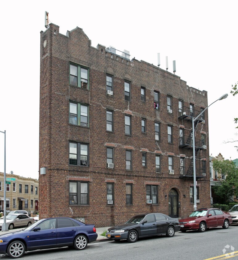
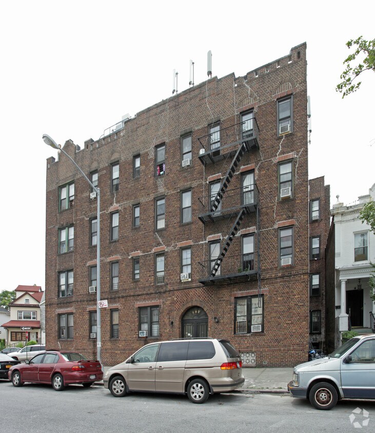
262-264 Dahill Rd in Brooklyn, NY is ready for you to visit. This apartment community is located at 262-264 Dahill Rd. in the 11218 area of Brooklyn. The professional leasing staff is waiting to show you all that this community has to offer. Make sure you to view the available floorplans. It's time to love where you live. Stop by for a visit today.
262-264 Dahill Rd is an apartment community located in Kings County and the 11218 ZIP Code. This area is served by the New York City Geographic District #20 attendance zone.
Refrigerator
Tub/Shower
Heating
Oven
Borough Park offers a slightly quieter atmosphere in a scenic New York setting just west of Long Island. The area’s peaceful blocks are shared by renters of all types enjoying an easy-going Brooklyn lifestyle. The quiet streets and charming historic homes make planting roots in the area an attractive option. This classically Brooklyn area is home to dense blocks of brick apartments buildings and buzzing local businesses. Prospect Park is just a few blocks walk to the northeast. Subway service abounds in this exciting Brooklyn neighborhood, putting the rest of arguably NYC’s most exciting borough at your fingertips, with Manhattan just a 30-minute train ride away as well.
Learn more about living in Borough ParkCompare neighborhood and city base rent averages by bedroom.
| Borough Park | Brooklyn, NY | |
|---|---|---|
| Studio | $1,310 | $2,681 |
| 1 Bedroom | $1,717 | $3,000 |
| 2 Bedrooms | $1,978 | $3,923 |
| 3 Bedrooms | $3,619 | $4,889 |
| Colleges & Universities | Distance | ||
|---|---|---|---|
| Colleges & Universities | Distance | ||
| Drive: | 7 min | 2.4 mi | |
| Drive: | 7 min | 2.8 mi | |
| Drive: | 10 min | 4.3 mi | |
| Drive: | 10 min | 4.5 mi |


Transportation options available in Brooklyn include Church Avenue (F,G Line), located 0.3 mile from 262-264 Dahill Rd. 262-264 Dahill Rd is near John F Kennedy International, located 12.9 miles or 23 minutes away, and Newark Liberty International, located 18.5 miles or 31 minutes away.
| Transit / Subway | Distance | ||
|---|---|---|---|
| Transit / Subway | Distance | ||
|
|
Walk: | 5 min | 0.3 mi |
|
|
Walk: | 7 min | 0.4 mi |
|
|
Walk: | 16 min | 0.8 mi |
|
|
Walk: | 18 min | 0.9 mi |
|
|
Drive: | 3 min | 1.4 mi |
| Commuter Rail | Distance | ||
|---|---|---|---|
| Commuter Rail | Distance | ||
|
|
Drive: | 10 min | 4.0 mi |
|
|
Drive: | 10 min | 4.1 mi |
|
|
Drive: | 12 min | 5.6 mi |
|
|
Drive: | 21 min | 9.1 mi |
|
|
Drive: | 23 min | 9.7 mi |
| Airports | Distance | ||
|---|---|---|---|
| Airports | Distance | ||
|
John F Kennedy International
|
Drive: | 23 min | 12.9 mi |
|
Newark Liberty International
|
Drive: | 31 min | 18.5 mi |
Scores provided by
Traffic
-Airport
-Businesses
-Scores provided by
HowLoud What is a Sound Score Rating? A Sound Score Rating aggregates noise caused by vehicle traffic, airplane traffic and local sources. How It WorksTime and distance from 262-264 Dahill Rd.
| Shopping Centers | Distance | ||
|---|---|---|---|
| Shopping Centers | Distance | ||
| Drive: | 4 min | 1.1 mi | |
| Drive: | 5 min | 1.6 mi | |
| Drive: | 6 min | 1.6 mi |
| Parks and Recreation | Distance | ||
|---|---|---|---|
| Parks and Recreation | Distance | ||
|
Sunset Park
|
Drive: | 4 min | 1.7 mi |
|
Prospect Park Audubon Center at the Boathouse
|
Drive: | 5 min | 2.1 mi |
|
Prospect Park Zoo
|
Drive: | 5 min | 2.1 mi |
|
Brooklyn Botanic Garden
|
Drive: | 6 min | 2.6 mi |
|
Prospect Park
|
Drive: | 8 min | 3.2 mi |
| Hospitals | Distance | ||
|---|---|---|---|
| Hospitals | Distance | ||
| Drive: | 4 min | 1.4 mi | |
| Drive: | 6 min | 2.4 mi | |
| Drive: | 6 min | 2.8 mi |
| Military Bases | Distance | ||
|---|---|---|---|
| Military Bases | Distance | ||
| Drive: | 12 min | 4.4 mi | |
| Drive: | 13 min | 7.1 mi |
What Are Walk Score®, Transit Score®, and Bike Score® Ratings?
Walk Score® measures the walkability of any address. Transit Score® measures access to public transit. Bike Score® measures the bikeability of any address.
What is a Sound Score Rating?
A Sound Score Rating aggregates noise caused by vehicle traffic, airplane traffic and local sources.


