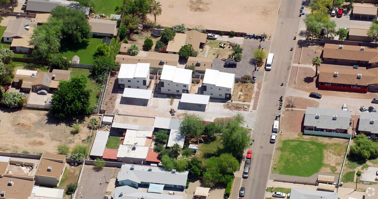
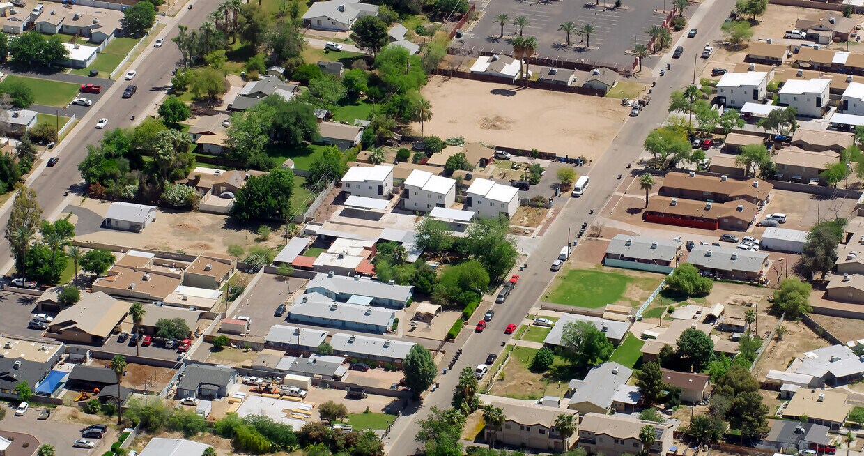
2600 W State Ave

2600 W State Ave, Phoenix, AZ 85051

Share Listing
Favorites
2600 W State Ave
Share Listing
Favorites

About 2600 W State Ave Phoenix, AZ 85051

Discover your new home at 2600 W State Ave. This community is located in the North Phoenix area of Phoenix. Let the leasing team show you everything this community has to offer. Come see 2600 W State Ave today.

2600 W State Ave is an apartment community located in Maricopa County and the 85051 ZIP Code.

Community Amenities

  • 24 Hour Access

Apartment Features

Washer/Dryer

Air Conditioning

Dishwasher

Microwave

  • Washer/Dryer
  • Air Conditioning
  • Heating
  • Ceiling Fans
  • Cable Ready
  • Tub/Shower
  • Sprinkler System
  • Dishwasher
  • Disposal
  • Ice Maker
  • Kitchen
  • Microwave
  • Oven
  • Refrigerator
Location
2600 W State Ave, Phoenix,
AZ 85051
Get Directions
Neighborhood

North Phoenix refers to the vast swath of land that stretches from Bethany Home Road up towards the Phoenix mountains. Bounded to the east by State Route 51 and to the west by 51st Avenue, North Phoenix is home a slew of diverse communities and neighborhoods all offering a variety of rentals ranging from the upscale to the more affordable. There are numerous golf courses and of course the mountains that offer residents a number of outdoor activities to engage in. For shopping and dining, residents head to Desert Ridge Marketplace on High Street, which is filled with upscale boutiques, nightlife hotspots, restaurants, and more. Interstate 17 and Route 101 make commuting around this desirable area simple.

Learn more about living in North Phoenix 
Average Prices by Area

Compare neighborhood and city base rent averages by bedroom.

North Phoenix Phoenix, AZ
Studio $1,037 $1,088
1 Bedroom $1,084 $1,301
2 Bedrooms $1,502 $1,562
3 Bedrooms $2,299 $2,084
Education
Colleges & Universities Distance
Drive: 5 min 2.2 mi
Drive: 5 min 2.3 mi
Drive: 8 min 3.0 mi
Drive: 12 min 5.9 mi
2600 W State Ave is within 5 minutes or 2.2 miles from Argosy University. It is also near DeVry University, Arizona and Grand Canyon University.
Transportation

Transportation options available in Phoenix include Glendale/19Th Ave, located 1.4 miles from 2600 W State Ave. 2600 W State Ave is near Phoenix Sky Harbor International, located 14.0 miles or 21 minutes away, and Phoenix-Mesa Gateway, located 40.8 miles or 54 minutes away.

Transit / Subway Distance
Drive: 3 min 1.4 mi
Drive: 4 min 2.1 mi
Drive: 4 min 2.5 mi
Drive: 5 min 2.7 mi
Drive: 6 min 3.2 mi
Commuter Rail Distance
Drive: 53 min 41.9 mi
Airports Distance
Airports Distance
Phoenix Sky Harbor International
Drive: 21 min 14.0 mi
Phoenix-Mesa Gateway
Drive: 54 min 40.8 mi

Walkability Near 2600 W State Ave Phoenix, AZ 85051

Getting Around
Fairly Walkable
Walkability
40 / 100
Limited Public Transit
Transit
30 / 100
Exceptionally Drivable
Drivability
90 / 100
Fairly Bikeable
Bikeability
50 / 100

Scores provided by

What do Walkability, Transit, Drivability, and Bikeability mean? Walkability measures the walking distance to day-to-day needs. Transit measures access to public transportation. Drivability measures congestion, parking availability, and access to major roads. Bikeability measures the suitability for cycling. How It Works
-
Soundscore
- / 100

Traffic

-

Airport

-

Businesses

-

Scores provided by

HowLoud What is a Sound Score Rating? A Sound Score Rating aggregates noise caused by vehicle traffic, airplane traffic and local sources. How It Works
Points of Interest

Time and distance from 2600 W State Ave.

Shopping Centers Distance
Walk: 12 min 0.6 mi
Walk: 12 min 0.6 mi
Walk: 12 min 0.7 mi
2600 W State Ave has 3 shopping centers within 0.7 mile, which is about a 12-minute walk. The miles and minutes will be for the farthest away property.
Parks and Recreation Distance
Granada Park
Drive: 12 min 5.4 mi
North Mountain Park
Drive: 11 min 5.7 mi
Steele Indian School Park
Drive: 12 min 6.2 mi
Desert Storm Park
Drive: 12 min 6.4 mi
Maryvale Park
Drive: 12 min 6.6 mi
2600 W State Ave has 5 parks within 6.6 miles, including North Mountain Park, Granada Park, and Steele Indian School Park.
Hospitals Distance
Hospitals Distance
Drive: 4 min 1.8 mi
Drive: 4 min 2.2 mi
Drive: 9 min 4.4 mi
2600 W State Ave has 3 hospitals within 4.4 miles, the nearest is The Core Institute Specialty Hospital which is 1.8 miles away and a 4 minute drive.
Military Bases Distance
Drive: 22 min 13.9 mi
Drive: 28 min 13.9 mi
Drive: 102 min 77.3 mi
2600 W State Ave has 3 military bases within 77.3 miles, the nearest is Phoenix Sky Harbor Airport Air Guard Station which is 13.9 miles away and a 22 minute drive.

Explore Similar Rentals Nearby