

$2,695 / Month

2419 Castlereagh Rd

,

Charleston, SC 29414

Share Listing
Favorites
404-910-6862
  • Bedrooms

    3

  • Bathrooms

    2

  • Square Feet

    1,300 sq ft

  • Available

    Available Now

2419 Castlereagh Rd
Share Listing
Favorites

About This Home

Available Now

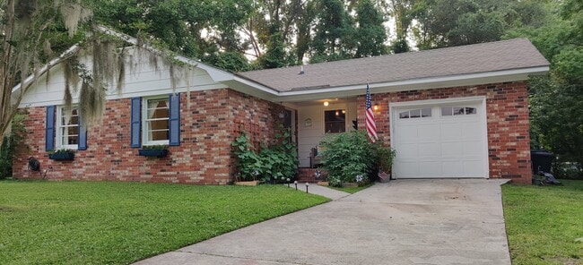
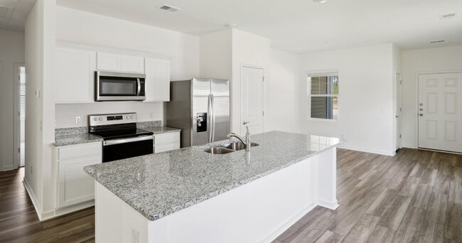
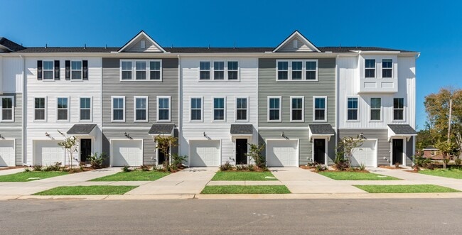
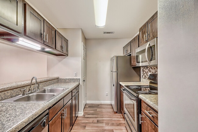
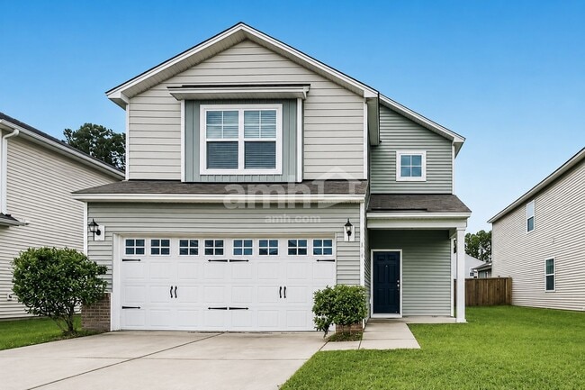
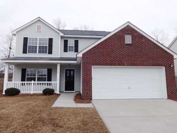
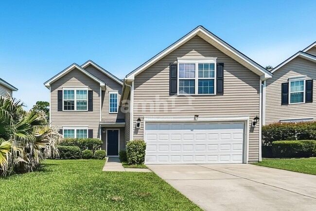
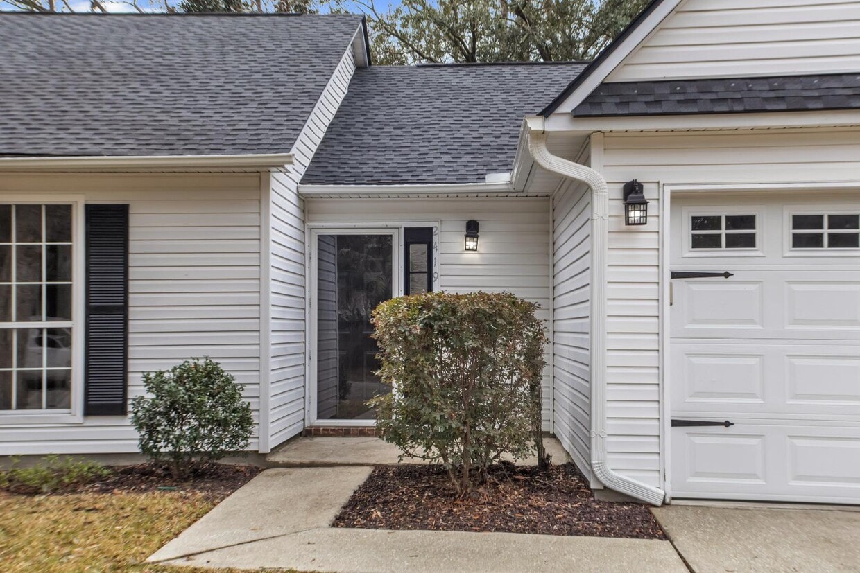
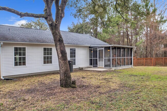
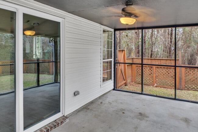
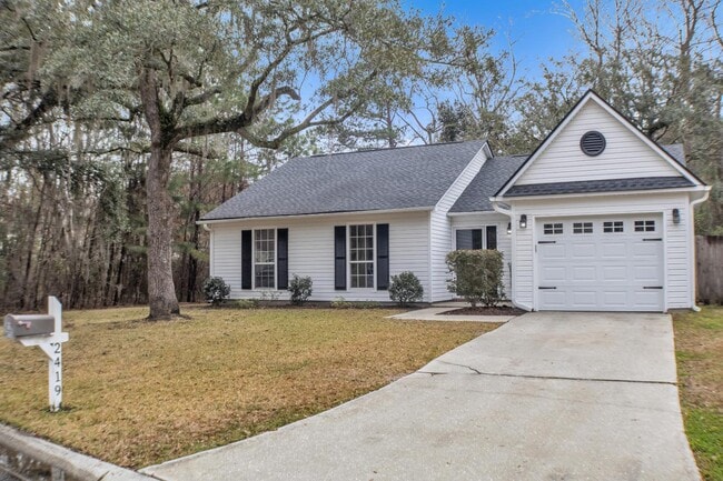
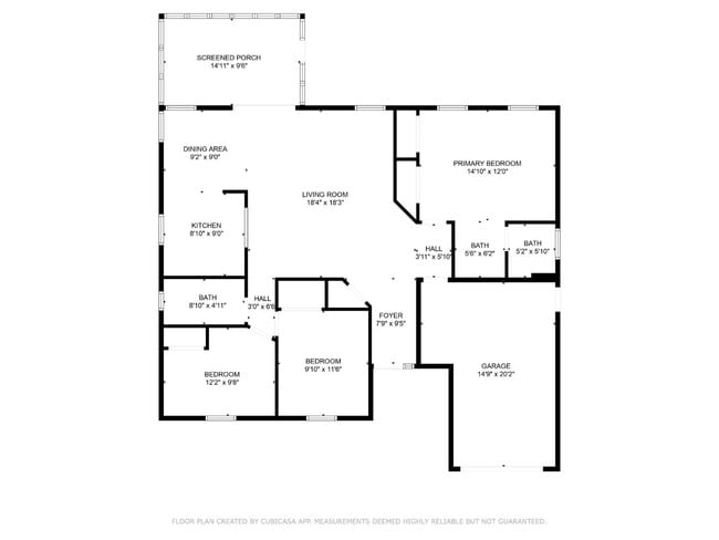
Welcome to this beautifully updated 3-bedroom, 2-bathroom home located in the desirable Hemmingwood neighborhood of West Ashley! This inviting home offers approximately 1,300 square feet of comfortable living space with an open-concept layout perfect for everyday living and entertaining. The remodeled kitchen features stainless steel appliances, ample cabinet space, and opens nicely into the main living area. The spacious living room provides plenty of room to relax, while the large screened-in back porch is the perfect spot to enjoy Charleston’s beautiful weather. Outside, you’ll find mature landscaping and a fenced backyard, offering additional privacy and outdoor space. Conveniently located just off Ashley River Road with easy access to I-526, shopping, dining, Downtown Charleston, and North Charleston. Don’t miss the opportunity to make this beautiful West Ashley home yours. Contact us today to schedule a showing! Available now!

2419 Castlereagh Rd is a house located in Charleston County and the 29414 ZIP Code. This area is served by the Charleston 01 School District attendance zone.

* Price shown is base rent. Excludes user-selected optional fees and variable or usage-based fees and required charges due at or prior to move-in or at move-out. Price, availability, fees, and any applicable rent special are subject to change without notice.
* Square footage definitions vary. Displayed square footage is approximate.

Contact

  • Listed by New | New Southern Rentals LLC
  • Phone Number
  • Contact
| Edit

Under 30 minutes

Commute Time is calculated at rush hour.
Neighborhood

West Ashley sits within the city of Charleston and is west of the Ashley River, hence its name, and is the birthplace of Hootie & the Blowfish’s frontman, Darius Rucker. Lined with mossy oaks, the Ashley and Stono Rivers border West Ashley, creating the breathtaking scenery for which Charleston is known. West Ashley residents enjoy close proximity to the area's only indoor mall, the Citadel Mall, and a large number of big-box stores.

Situated seven miles due west of Downtown Charleston, residents can plan on a 15- to 30-minute drive, depending on traffic, to take in all downtown has to offer. Nearby Interstate 526, which feeds directly into Charleston’s Interstate Highway 26, gives residents a fast and easy route in and out of area. Mid- to late-1900s ranch-style homes characterize the housing in outer West Ashley, but neighborhoods built in the 2000s also sprinkle the area.

Learn more about living in West Ashley 
Education
Colleges & Universities Distance
Drive: 10 min 5.3 mi
Drive: 14 min 6.9 mi
Drive: 17 min 8.2 mi
2419 Castlereagh Rd is within 10 minutes or 5.3 miles from Southern Wesleyan, Charleston. It is also near Medical Univ. of S.C. and The Citadel.
Schools
Public Elementary School
Grades PK-5
679 Students
Attendance Zone
Grades 6-8
1,299 Students
Attendance Zone
Public High School
Grades 9-12
1,935 Students
Attendance Zone
Private Elementary, Middle & High School
Grades K-12
30 Students
Nearby
Transportation

Transportation options available in Charleston include Fort Sumter Visitor Center, located 8.9 miles from 2419 Castlereagh Rd. 2419 Castlereagh Rd is near Charleston AFB/International, located 11.4 miles or 18 minutes away.

Transit / Subway Distance
Drive: 18 min 8.9 mi
Drive: 24 min 12.1 mi
Commuter Rail Distance
Drive: 15 min 8.8 mi
Airports Distance
Airports Distance
Charleston AFB/International
Drive: 18 min 11.4 mi
Getting Around
Fairly Walkable
Walkability
40 / 100
Limited Public Transit
Transit
20 / 100
Exceptionally Drivable
Drivability
100 / 100
Somewhat Bikeable
Bikeability
30 / 100

Scores provided by

What do Walkability, Transit, Drivability, and Bikeability mean? Walkability measures the walking distance to day-to-day needs. Transit measures access to public transportation. Drivability measures congestion, parking availability, and access to major roads. Bikeability measures the suitability for cycling. How It Works
Active
Soundscore
79 / 100

Traffic

Busy

Airport

Calm

Businesses

Calm

Scores provided by

HowLoud What is a Sound Score Rating? A Sound Score Rating aggregates noise caused by vehicle traffic, airplane traffic and local sources. How It Works
Points of Interest

Time and distance from 2419 Castlereagh Rd.

Shopping Centers Distance
Walk: 8 min 0.4 mi
Walk: 10 min 0.6 mi
Walk: 14 min 0.8 mi
2419 Castlereagh Rd has 3 shopping centers within 0.8 mile, which is about a 14-minute walk. The miles and minutes will be for the farthest away property.
Parks and Recreation Distance
Charles Towne Landing State Historic Site
Drive: 9 min 4.3 mi
Magnolia Plantation and Gardens
Drive: 11 min 5.7 mi
McLeod Plantation Historic Site
Drive: 15 min 7.0 mi
Children's Museum of the Lowcountry
Drive: 16 min 8.0 mi
Cooper River Marina
Drive: 23 min 10.0 mi
2419 Castlereagh Rd has 5 parks within 10.0 miles, including Charles Towne Landing State Historic Site, Magnolia Plantation and Gardens, and McLeod Plantation Historic Site.
Hospitals Distance
Hospitals Distance
Drive: 4 min 1.7 mi
Drive: 15 min 7.7 mi
Drive: 16 min 8.0 mi
2419 Castlereagh Rd has 3 hospitals within 8.0 miles, the nearest is Bon Secours St. Francis Hospital which is 1.7 miles away and a 4 minute drive.
Military Bases Distance
Drive: 16 min 7.7 mi
Drive: 20 min 9.3 mi
Drive: 17 min 10.0 mi
2419 Castlereagh Rd has 3 military bases within 10.0 miles, the nearest is Charleston Coast Guard Station which is 7.7 miles away and a 16 minute drive.

You May Also Like

Similar Rentals Nearby