$1,700
/ Month
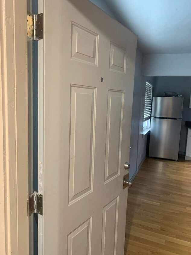
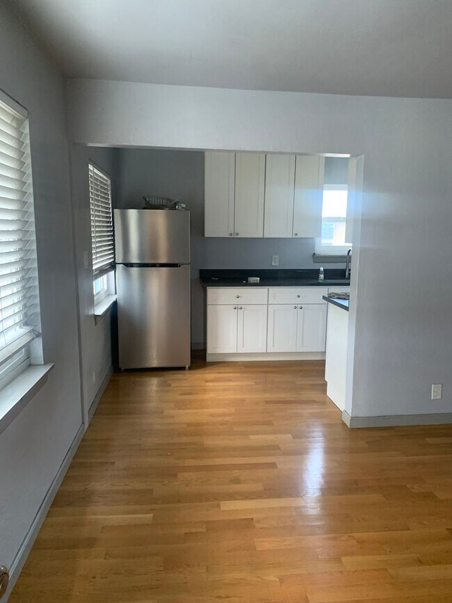
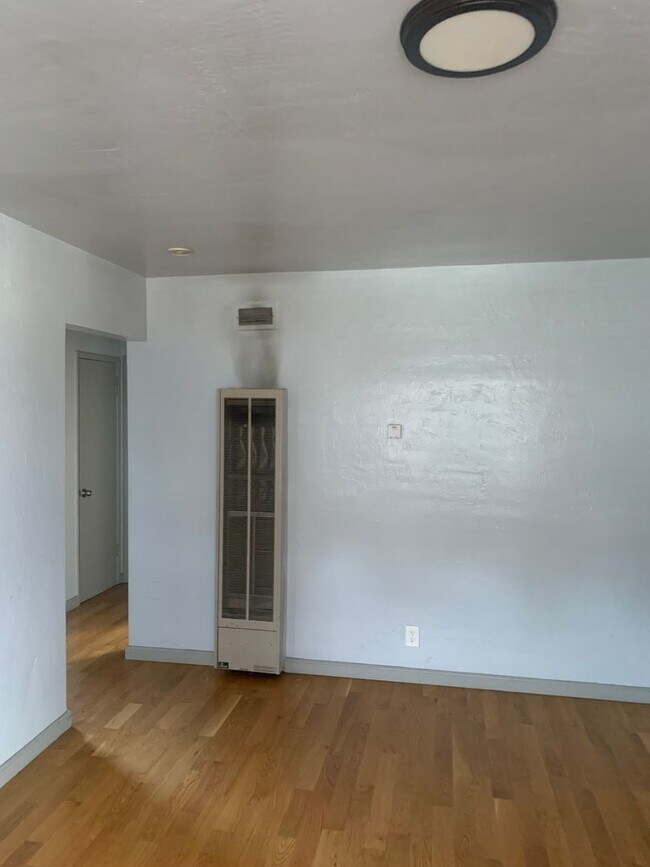
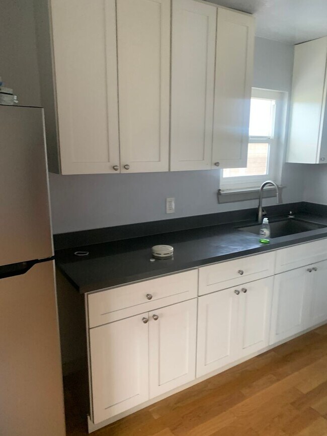
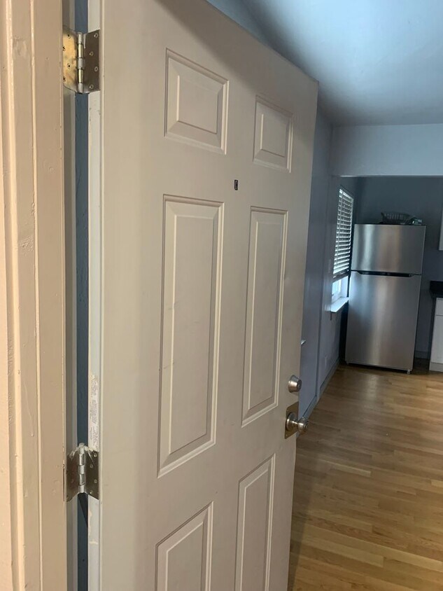
2400 35th Ave Unit C
Oakland, CA 94601
Today
Favorites
510-451-7197
-
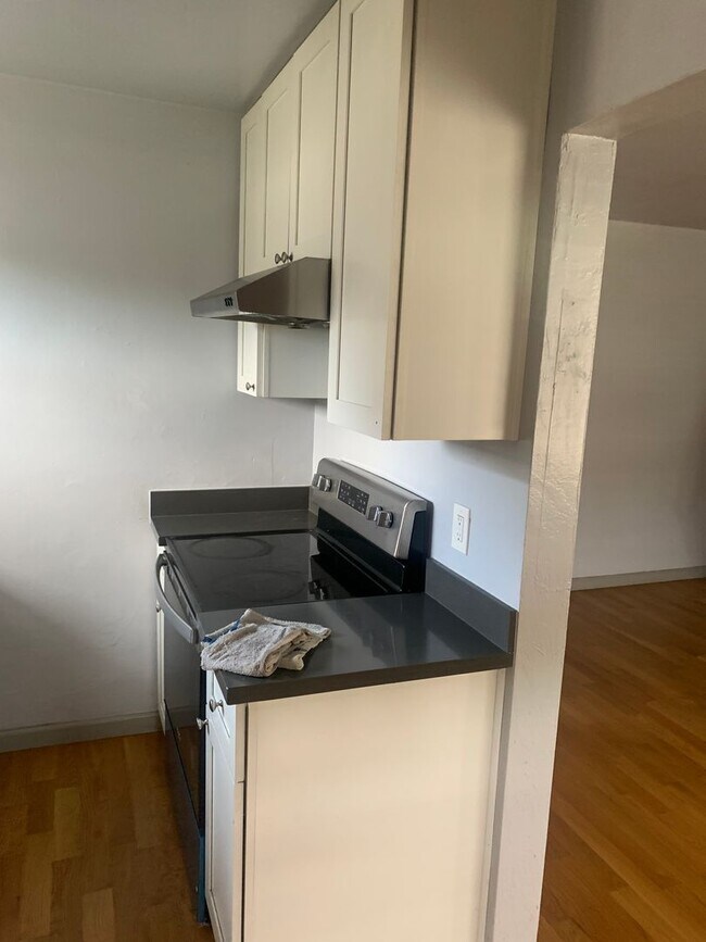
Bedrooms
1
-
Bathrooms
1
-
Square Feet
--
-
Available
Available Now
2400 35th Ave Unit C

Favorites
Contact
- Listed by Western | Western Management Properties, Inc.
- Phone Number
- Contact
Location
Get Directions
Oakland’s Bartlett neighborhood is a totally residential enclave full of well-kept houses and small apartment buildings. Residents enjoy a quiet home environment far from the activity closer to downtown.
Just a couple of blocks east of the neighborhood, the specialty shops and restaurants lining Fruitvale Avenue can easily be reached on foot; to the east, the Dimond District offers even more unique restaurants and nightlife. For a relaxing afternoon, Peralta Hacienda Historical Park is a great spot to spend time just enjoying the sunshine and greenery.
Learn more about living in Bartlett
Education
| Colleges & Universities | Distance | ||
|---|---|---|---|
| Colleges & Universities | Distance | ||
| Drive: | 7 min | 2.4 mi | |
| Drive: | 6 min | 3.2 mi | |
| Drive: | 8 min | 4.0 mi | |
| Drive: | 12 min | 5.5 mi |
2400 35th Ave Unit C is within 7 minutes or 2.4 miles from Mills College. It is also near Laney College and Lincoln University, Oakland.
Transportation options available in Oakland include Fruitvale Station, located 1.1 miles from 2400 35th Ave Unit C. 2400 35th Ave Unit C is near Metro Oakland International, located 6.9 miles or 11 minutes away, and San Francisco International, located 26.8 miles or 38 minutes away.
| Transit / Subway | Distance | ||
|---|---|---|---|
| Transit / Subway | Distance | ||
|
|
Walk: | 20 min | 1.1 mi |
|
|
Drive: | 6 min | 3.2 mi |
|
|
Drive: | 7 min | 3.6 mi |
|
|
Drive: | 7 min | 4.0 mi |
|
|
Drive: | 8 min | 4.3 mi |
| Commuter Rail | Distance | ||
|---|---|---|---|
| Commuter Rail | Distance | ||
|
|
Drive: | 7 min | 4.4 mi |
|
|
Drive: | 11 min | 7.8 mi |
|
|
Drive: | 13 min | 9.9 mi |
| Drive: | 20 min | 14.3 mi | |
| Drive: | 20 min | 14.4 mi |
| Airports | Distance | ||
|---|---|---|---|
| Airports | Distance | ||
|
Metro Oakland International
|
Drive: | 11 min | 6.9 mi |
|
San Francisco International
|
Drive: | 38 min | 26.8 mi |
Time and distance from 2400 35th Ave Unit C.
| Shopping Centers | Distance | ||
|---|---|---|---|
| Shopping Centers | Distance | ||
| Walk: | 19 min | 1.0 mi | |
| Walk: | 20 min | 1.0 mi | |
| Drive: | 2 min | 1.2 mi |
2400 35th Ave Unit C has 3 shopping centers within 1.2 miles, which is about a 2-minute walk. The miles and minutes will be for the farthest away property.
| Parks and Recreation | Distance | ||
|---|---|---|---|
| Parks and Recreation | Distance | ||
|
Lakeside Park
|
Drive: | 6 min | 4.2 mi |
|
Rotary Nature Center
|
Drive: | 7 min | 4.5 mi |
|
Roberts Regional Recreation Area
|
Drive: | 9 min | 4.6 mi |
|
Chabot Space & Science Center
|
Drive: | 12 min | 5.2 mi |
|
Joaquin Miller Park
|
Drive: | 12 min | 5.4 mi |
2400 35th Ave Unit C has 5 parks within 5.4 miles, including Lakeside Park, Rotary Nature Center, and Joaquin Miller Park.
| Hospitals | Distance | ||
|---|---|---|---|
| Hospitals | Distance | ||
| Drive: | 2 min | 1.3 mi | |
| Drive: | 4 min | 2.6 mi | |
| Drive: | 8 min | 3.3 mi |
2400 35th Ave Unit C has 3 hospitals within 3.3 miles, the nearest is Telecare Heritage Psychiatric Health Facility which is 1.3 miles away and a 2 minute drive.
| Military Bases | Distance | ||
|---|---|---|---|
| Military Bases | Distance | ||
| Drive: | 16 min | 7.0 mi | |
| Drive: | 16 min | 8.0 mi |
2400 35th Ave Unit C is 7.0 miles from Alameda/US Naval Air Station Alameda, and is convenient to other military bases, including Oakland Army Base.
You May Also Like
Similar Rentals Nearby


What Are Walk Score®, Transit Score®, and Bike Score® Ratings?
Walk Score® measures the walkability of any address. Transit Score® measures access to public transit. Bike Score® measures the bikeability of any address.
What is a Sound Score Rating?
A Sound Score Rating aggregates noise caused by vehicle traffic, airplane traffic and local sources
2400 35th Ave
Oakland, CA 94601