$2,095
/ Month
232 Morlatt Ln
Martinsburg, WV 25404
Favorites
304-620-8887
-
Bedrooms
3
-
Bathrooms
3
-
Square Feet
2,130 sq ft
-
Available
Available Aug 2
Highlight
- Basement
232 Morlatt Ln

Favorites
About This Home
Available Aug 2
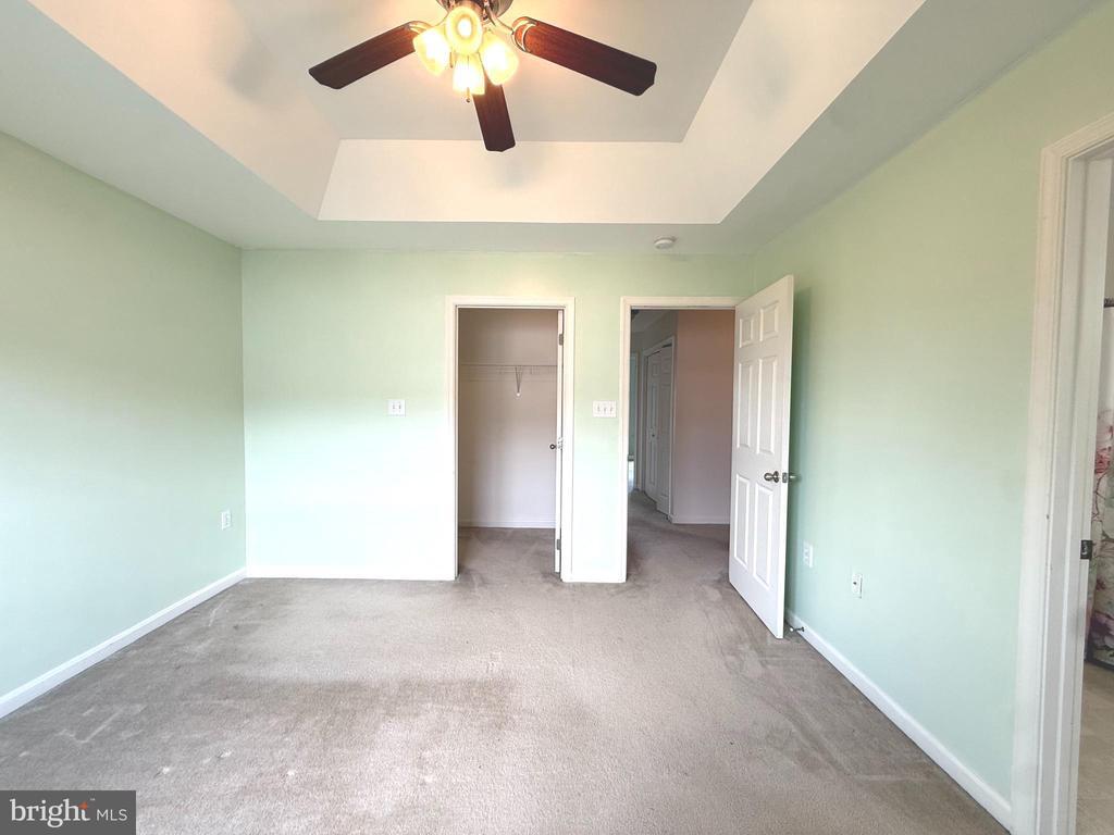
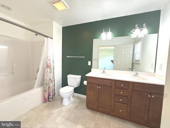
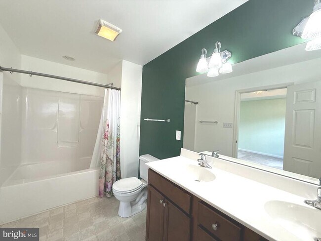
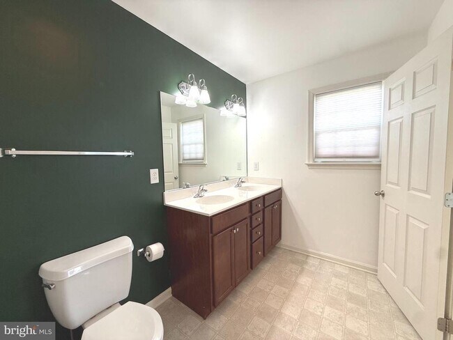
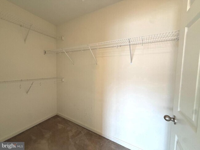
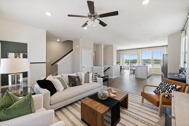
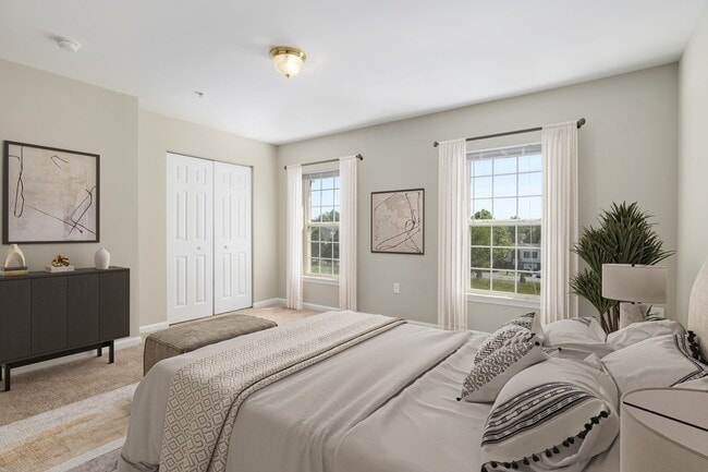
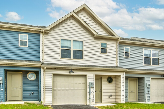
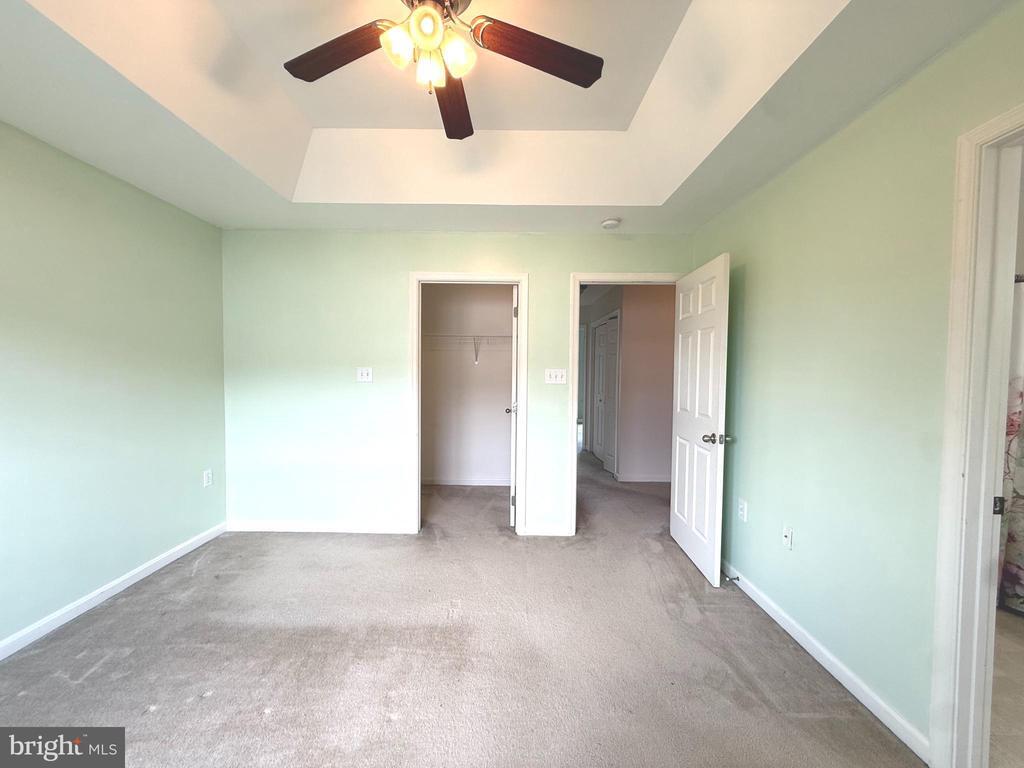
Beautiful and well-maintained 4-bedroom, 2 full and 2 half bath townhome located in the highly desirable Hammonds Mill community in the Spring Mills area. This spacious three-level home features an open-concept main level, a finished lower level that can be used as a recreation room, home office, or potential 4th bedroom, and an attached one-car garage with additional driveway parking. The home offers a bright eat-in kitchen with stainless steel appliances, upper-level laundry, and a fenced backyard perfect for relaxing or entertaining. Conveniently located just minutes from I-81, shopping, restaurants, and Spring Mills schools, making it an ideal location for commuters. Schedule your private showing today!
232 Morlatt Ln is a townhome located in Berkeley County and the 25404 ZIP Code. This area is served by the Berkeley County Schools attendance zone.
* Price shown is base rent. Excludes user-selected optional fees and variable or usage-based fees and required charges due at or prior to move-in or at move-out. Price, availability, fees, and any applicable rent special are subject to change without notice.
* Square footage definitions vary. Displayed square footage is approximate.
Townhome Features
- Basement
Contact
- Listed by Ya Ling Chen | Samson Properties
- Phone Number
- Contact
-
Source
 Bright MLS, Inc.
Copyright © 2026 Bright MLS, Inc.
Location
Get Directions
Martinsburg sits at the northern tip of West Virginia's eastern Panhandle, roughly 80 miles northwest of Washington, D.C., making it one of the most accessible cities in the state. Founded in 1778 and named the county seat of Berkeley County, it carries a deep sense of history while steadily growing into a regional hub. The city holds the distinction of being the largest in the eastern Panhandle, drawing workers who commute north into Maryland and the D.C. metro corridor via MARC rail service.
The local economy has diversified well beyond its railroad roots, with transportation, healthcare, and distribution sectors all playing meaningful roles. Blue Ridge Community and Technical College anchors educational opportunity within the city, giving residents a pathway to workforce training close to home. Neighborhoods range from walkable streets lined with preserved historic architecture near the downtown core to newer residential developments spreading outward toward the city's edges.
Learn more about living in Martinsburg
Amenities
- Basement
Education
| Colleges & Universities | Distance | ||
|---|---|---|---|
| Colleges & Universities | Distance | ||
| Drive: | 25 min | 14.7 mi | |
| Drive: | 28 min | 20.0 mi | |
| Drive: | 38 min | 32.9 mi | |
| Drive: | 47 min | 37.8 mi |
232 Morlatt Ln is within 25 minutes or 14.7 miles from Shepherd University. It is also near Hagerstown Community College and Shenandoah University.
Schools


Public Elementary School
Grades K-5
846 Students
Attendance Zone
Public Elementary School
Grades PK-5
517 Students
Attendance Zone
Public Middle School
Grades 6-8
945 Students
Attendance Zone
Public High School
Grades 9-12
1,544 Students
Attendance Zone
Private Elementary, Middle & High School
Grades PK-12
87 Students
Nearby
School data provided by
 The GreatSchools Rating helps parents compare schools within a state based on a variety of school quality indicators and provides a helpful picture of how effectively each school serves all of its students. Ratings are on a scale of 1 (below average) to 10 (above average) and can include test scores, college readiness, academic progress, advanced courses, equity, discipline and attendance data. We also advise parents to visit schools, consider other information on school performance and programs, and consider family needs as part of the school selection process.
View GreatSchools Rating Methodology
Data provided by GreatSchools.org © 2026. All rights reserved.
The GreatSchools Rating helps parents compare schools within a state based on a variety of school quality indicators and provides a helpful picture of how effectively each school serves all of its students. Ratings are on a scale of 1 (below average) to 10 (above average) and can include test scores, college readiness, academic progress, advanced courses, equity, discipline and attendance data. We also advise parents to visit schools, consider other information on school performance and programs, and consider family needs as part of the school selection process.
View GreatSchools Rating Methodology
Data provided by GreatSchools.org © 2026. All rights reserved.
Getting Around
 What do Walkability, Transit, Drivability, and Bikeability mean?
Walkability measures the walking distance to day-to-day needs.
Transit measures access to public transportation.
Drivability measures congestion, parking availability, and access to major roads.
Bikeability measures the suitability for cycling.
How It Works
What do Walkability, Transit, Drivability, and Bikeability mean?
Walkability measures the walking distance to day-to-day needs.
Transit measures access to public transportation.
Drivability measures congestion, parking availability, and access to major roads.
Bikeability measures the suitability for cycling.
How It Works
Somewhat Walkable
Walkability
30
/ 100
Exceptionally Drivable
Drivability
100
/ 100
Somewhat Bikeable
Bikeability
30
/ 100
Scores provided by
What do Walkability, Transit, Drivability, and Bikeability mean?
Walkability measures the walking distance to day-to-day needs.
Transit measures access to public transportation.
Drivability measures congestion, parking availability, and access to major roads.
Bikeability measures the suitability for cycling.
How It Works
-
Soundscore™
-
/ 100
Traffic
-Airport
-Businesses
-Scores provided by
HowLoud What is a Sound Score Rating? A Sound Score Rating aggregates noise caused by vehicle traffic, airplane traffic and local sources. How It WorksYou May Also Like
Similar Rentals Nearby
-
-
-
-
1 / 43
-
 Total Monthly Price New3 Beds$2,190+Total Monthly PricePrices include base rent and required monthly fees of $139. Variable costs based on usage may apply.Base Rent:3 Beds$2,050+
 -
 3 Beds$2,8944 Beds$2,619+Total Monthly PriceTotal Monthly Price NewPrices include base rent and required monthly fees of $269. Variable costs based on usage may apply.Base Rent:3 Beds$2,6244 Beds$2,349+
 -
-
-

-
232 Morlatt Ln
Martinsburg, WV 25404