


$1,995 / Month

228 Morlatt Ln

,

Martinsburg, WV 25404

Share Listing
Favorites
304-885-0772
  • Bedrooms

    4

  • Bathrooms

    3

  • Square Feet

    --

  • Available

    Available Now

228 Morlatt Ln
Share Listing
Favorites

About This Home

Available Now

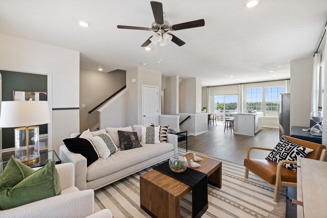
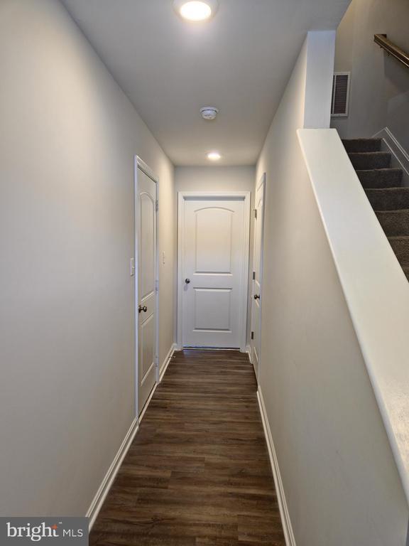
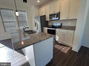
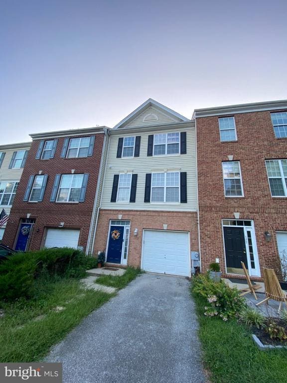
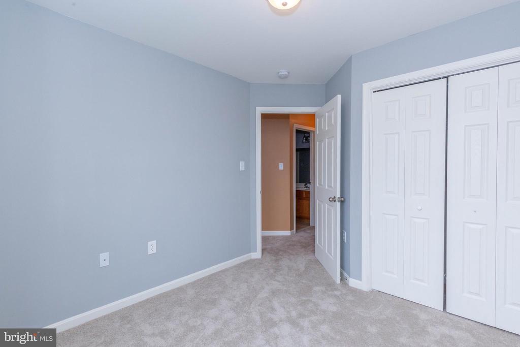
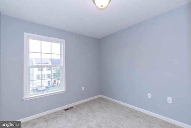
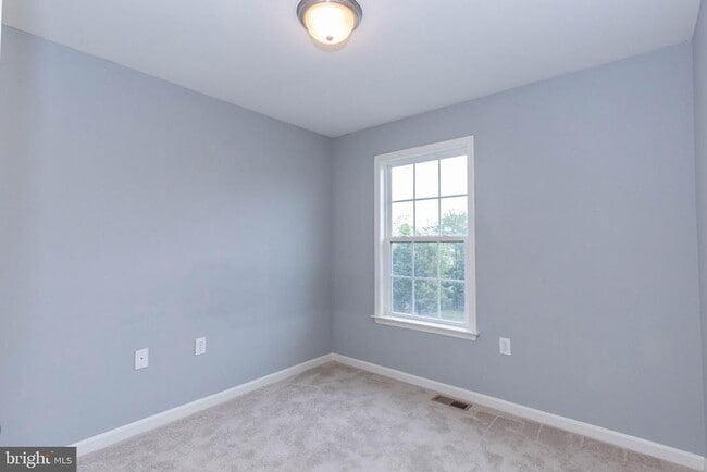
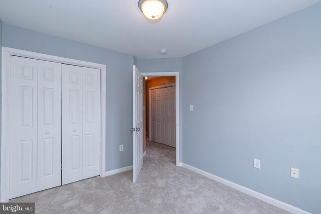
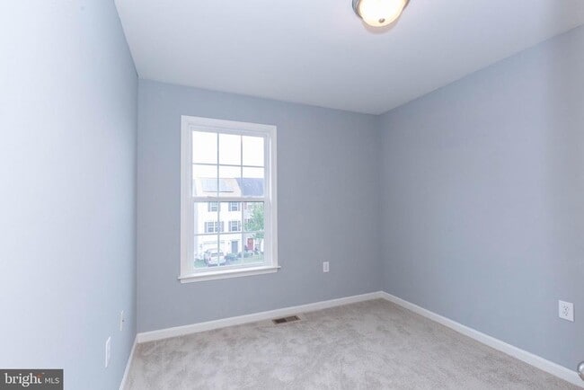
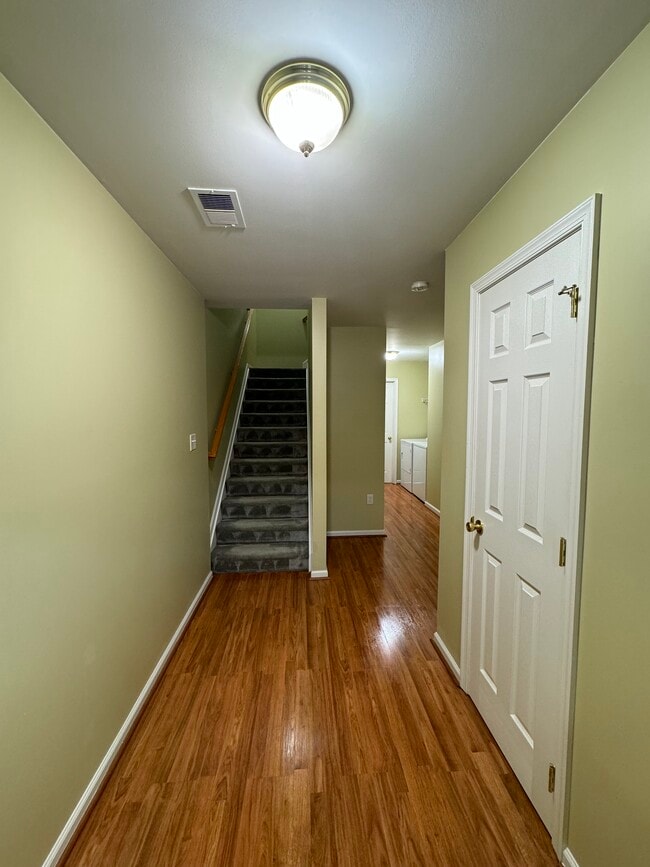
This beautifully maintained three story townhome is conveniently located in the Hammonds Mill Community of Martinsburg, WV! You are welcomed by the fully finished walk-out basement which includes a large entry foyer, half bath, office/recreation room, access to the fenced rear yard and upper deck, and 1 car garage with storage space. Enjoy the warmth of the main level’s open floor plan with carpeted living room; half bath; eat-in kitchen with island and access to the rear upper deck, lower patio, and fenced rear yard - perfect for year-round entertaining. The upper level features a generous primary bedroom suite with walk-in closet, full shower, dual vanity; two additional bedrooms, washer and dryer, and an additional full bath. Located off of US 11; just minutes from I-81 and 10 minutes from Maryland. No Pets. Additional monthly costs include Renter's insurance (price based on plan selection) and Second Nature Air Filter Subscription program ($15.00/ month).

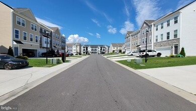
228 Morlatt Ln is a townhome located in Berkeley County and the 25404 ZIP Code. This area is served by the Berkeley County Schools attendance zone.

* Price shown is base rent. Excludes user-selected optional fees and variable or usage-based fees and required charges due at or prior to move-in or at move-out. Price, availability, fees, and any applicable rent special are subject to change without notice.
* Square footage definitions vary. Displayed square footage is approximate.

Contact

  • Listed by Patrick Blood | Blackwell Property Mangement, LLC
  • Phone Number
  • Contact
  • Source
    Bright MLS, Inc.
Copyright © 2026 Bright MLS, Inc.
| Edit

Under 30 minutes

Commute Time is calculated at rush hour.
City - Martinsburg

Martinsburg sits at the northern tip of West Virginia's eastern Panhandle, roughly 80 miles northwest of Washington, D.C., making it one of the most accessible cities in the state. Founded in 1778 and named the county seat of Berkeley County, it carries a deep sense of history while steadily growing into a regional hub. The city holds the distinction of being the largest in the eastern Panhandle, drawing workers who commute north into Maryland and the D.C. metro corridor via MARC rail service.

The local economy has diversified well beyond its railroad roots, with transportation, healthcare, and distribution sectors all playing meaningful roles. Blue Ridge Community and Technical College anchors educational opportunity within the city, giving residents a pathway to workforce training close to home. Neighborhoods range from walkable streets lined with preserved historic architecture near the downtown core to newer residential developments spreading outward toward the city's edges.

Learn more about living in Martinsburg 
Education
Colleges & Universities Distance
Drive: 25 min 14.7 mi
Drive: 28 min 20.0 mi
Drive: 38 min 32.9 mi
Drive: 47 min 37.8 mi
228 Morlatt Ln is within 25 minutes or 14.7 miles from Shepherd University. It is also near Hagerstown Community College and Shenandoah University.
Schools
Public Elementary School
Grades PK-5
517 Students
Attendance Zone
Public Middle School
Grades 6-8
945 Students
Attendance Zone
Public High School
Grades 9-12
1,544 Students
Attendance Zone
Private Elementary, Middle & High School
Grades PK-12
87 Students
Nearby
Transportation

228 Morlatt Ln is near Hagerstown Regional/Richard A Henson Field, located 17.8 miles or 24 minutes away.

Commuter Rail Distance
Drive: 11 min 6.7 mi
Drive: 32 min 19.8 mi
Drive: 42 min 28.6 mi
Drive: 52 min 34.8 mi
Airports Distance
Airports Distance
Hagerstown Regional/Richard A Henson Field
Drive: 24 min 17.8 mi
Getting Around
Somewhat Walkable
Walkability
30 / 100
Exceptionally Drivable
Drivability
100 / 100
Somewhat Bikeable
Bikeability
20 / 100

Scores provided by

What do Walkability, Transit, Drivability, and Bikeability mean? Walkability measures the walking distance to day-to-day needs. Transit measures access to public transportation. Drivability measures congestion, parking availability, and access to major roads. Bikeability measures the suitability for cycling. How It Works
-
Soundscore
- / 100

Traffic

-

Airport

-

Businesses

-

Scores provided by

HowLoud What is a Sound Score Rating? A Sound Score Rating aggregates noise caused by vehicle traffic, airplane traffic and local sources. How It Works
Points of Interest

Time and distance from 228 Morlatt Ln.

Shopping Centers Distance
Drive: 2 min 1.1 mi
Drive: 7 min 3.9 mi
Drive: 8 min 4.5 mi
228 Morlatt Ln has 3 shopping centers within 4.5 miles, which is about a 8-minute drive. The miles and minutes will be for the farthest away property.
Parks and Recreation Distance
Antietam National Battlefield
Drive: 28 min 18.5 mi
Fort Frederick State Park
Drive: 34 min 19.9 mi
228 Morlatt Ln has 2 parks within 19.9 miles, including Antietam National Battlefield, and Fort Frederick State Park.
Hospitals Distance
Hospitals Distance
Drive: 11 min 7.7 mi
228 Morlatt Ln is 7.7 miles and a 11 minute drive from Berkeley Medical Center.
Military Bases Distance
Drive: 47 min 32.9 mi
Drive: 48 min 38.6 mi
Drive: 108 min 82.3 mi
228 Morlatt Ln has 3 military bases within 82.3 miles, the nearest is Fort Ritchie which is 32.9 miles away and a 47 minute drive.

You May Also Like

Similar Rentals Nearby