
26FIFTY
2650 Telegraph Ave,
Berkeley, CA 94704
$2,795 - $3,395
Studio - 2 Beds
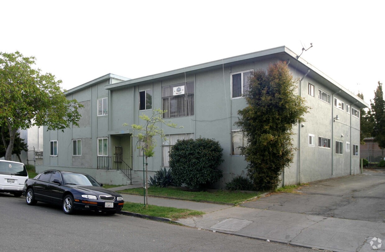
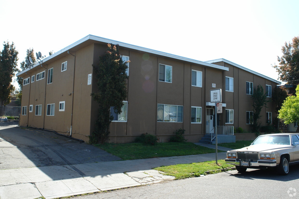
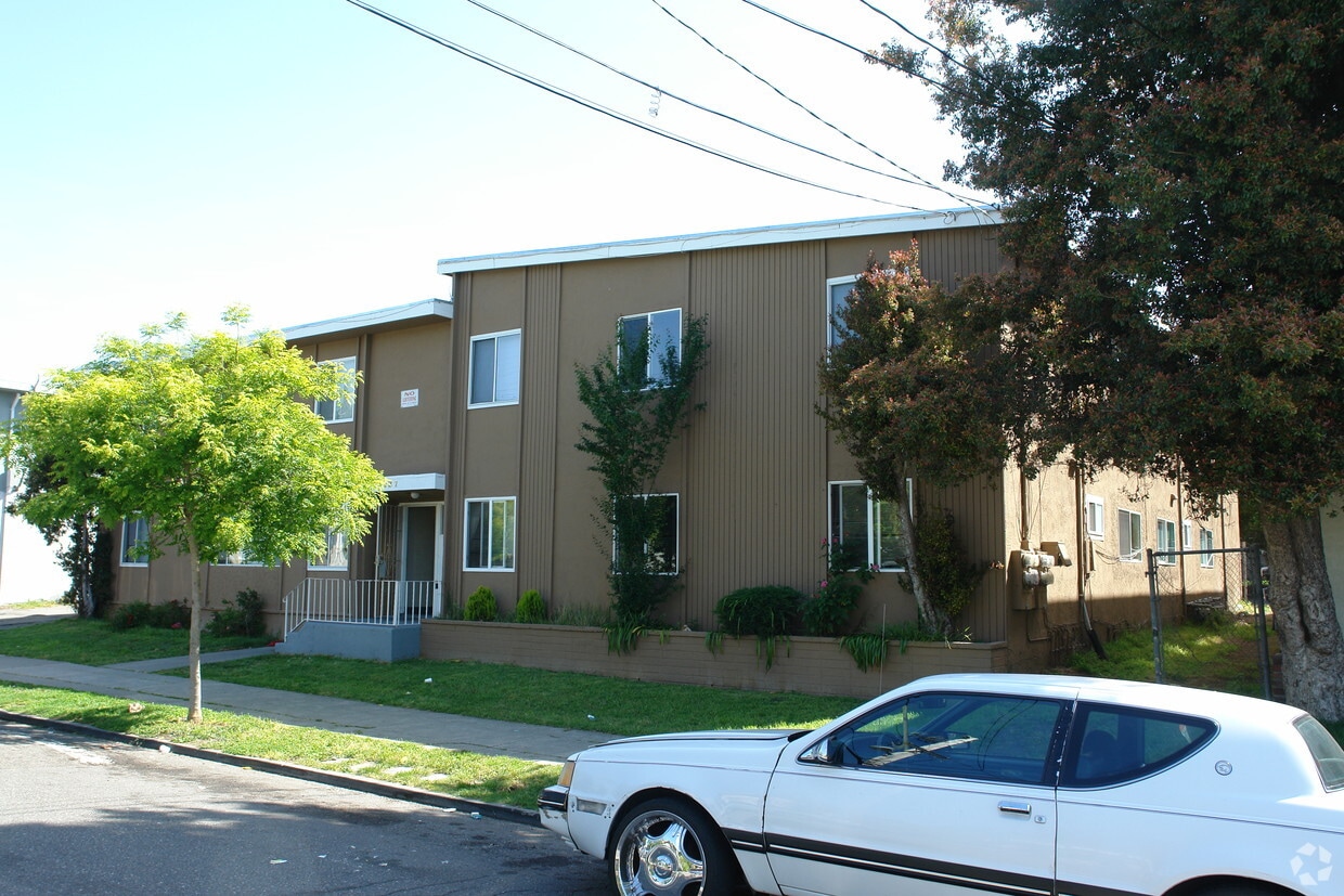

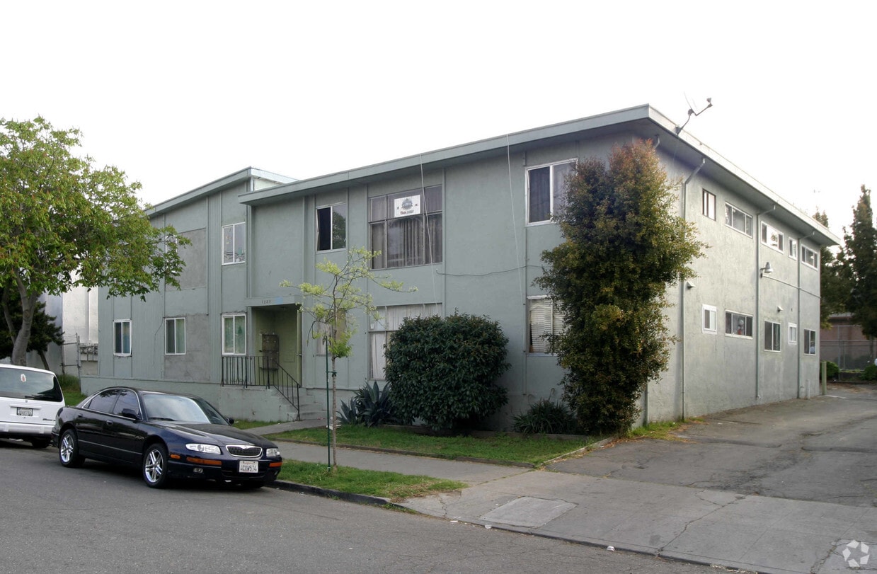
Welcome to 2227 Bonar St in Berkeley, CA. You'll find this community in the Southwest Berkeley area of Berkeley. Choose from 2 to 3 bedroom apartments and then swing by for a visit to see them in person. The professional leasing team will assist you in finding your perfect new place. Contact us today to discuss your new apartment and find your new home at 2227 Bonar St.
2227 Bonar St is an apartment community located in Alameda County and the 94702 ZIP Code. This area is served by the Berkeley Unified attendance zone.
Southwest Berkeley is bounded by University Avenue to the north, Sacramento Street to the East, Alcatraz Avenue to the south and the San Francisco Bay to the west. Southwest Berkeley comprises a fascinating mix of the educational and the industrial. Less dense than the more inland parts of Berkeley, Southwest Berkeley has a diverse mix of apartment and home rentals that will delight students and families alike. Convenient access to the illustrious university make this a great option for students and staff, but any renter will love the restaurant and retail options that make this walkable locale so convenient.
Learn more about living in Southwest Berkeley| Colleges & Universities | Distance | ||
|---|---|---|---|
| Colleges & Universities | Distance | ||
| Drive: | 3 min | 1.2 mi | |
| Drive: | 8 min | 2.4 mi | |
| Drive: | 10 min | 4.1 mi | |
| Drive: | 12 min | 5.0 mi |


Transportation options available in Berkeley include North Berkeley, located 0.8 mile from 2227 Bonar St. 2227 Bonar St is near Metro Oakland International, located 14.6 miles or 25 minutes away, and San Francisco International, located 24.2 miles or 38 minutes away.
| Transit / Subway | Distance | ||
|---|---|---|---|
| Transit / Subway | Distance | ||
|
|
Walk: | 15 min | 0.8 mi |
|
|
Walk: | 15 min | 0.8 mi |
|
|
Drive: | 4 min | 1.3 mi |
|
|
Drive: | 4 min | 1.3 mi |
|
|
Drive: | 5 min | 1.9 mi |
| Commuter Rail | Distance | ||
|---|---|---|---|
| Commuter Rail | Distance | ||
|
|
Walk: | 19 min | 1.0 mi |
|
|
Drive: | 6 min | 2.3 mi |
|
|
Drive: | 13 min | 5.8 mi |
| Drive: | 13 min | 7.4 mi | |
| Drive: | 19 min | 11.8 mi |
| Airports | Distance | ||
|---|---|---|---|
| Airports | Distance | ||
|
Metro Oakland International
|
Drive: | 25 min | 14.6 mi |
|
San Francisco International
|
Drive: | 38 min | 24.2 mi |
Time and distance from 2227 Bonar St.
| Shopping Centers | Distance | ||
|---|---|---|---|
| Shopping Centers | Distance | ||
| Drive: | 4 min | 1.2 mi | |
| Drive: | 4 min | 1.4 mi | |
| Drive: | 4 min | 1.5 mi |
| Parks and Recreation | Distance | ||
|---|---|---|---|
| Parks and Recreation | Distance | ||
|
Strawberry Creek Park
|
Walk: | 1 min | 0.1 mi |
|
Cedar-Rose Park
|
Walk: | 15 min | 0.8 mi |
|
Habitot Children's Museum
|
Drive: | 4 min | 1.2 mi |
|
McLaughlin Eastshore State Park
|
Drive: | 4 min | 1.3 mi |
|
Museum of Vertebrate Zoology
|
Drive: | 5 min | 1.6 mi |
| Hospitals | Distance | ||
|---|---|---|---|
| Hospitals | Distance | ||
| Drive: | 7 min | 2.4 mi | |
| Drive: | 7 min | 2.7 mi | |
| Drive: | 10 min | 4.1 mi |
| Military Bases | Distance | ||
|---|---|---|---|
| Military Bases | Distance | ||
| Drive: | 13 min | 5.3 mi | |
| Drive: | 17 min | 7.2 mi |
What Are Walk Score®, Transit Score®, and Bike Score® Ratings?
Walk Score® measures the walkability of any address. Transit Score® measures access to public transit. Bike Score® measures the bikeability of any address.
What is a Sound Score Rating?
A Sound Score Rating aggregates noise caused by vehicle traffic, airplane traffic and local sources
2227 Bonar St
Berkeley, CA 94702


