2118 Mapes Ave
2118 Mapes Ave,
The Bronx,
NY
10460
2 Weeks Ago
Favorites
2118 Mapes Ave

Favorites
Check Back Soon for Upcoming Availability
Fees and Policies
The fees below are based on community-supplied data and may exclude additional fees and utilities.
- Cats Allowed
-
Fees not specified
-
Weight limit--
-
Pet Limit--
Details
Lease Options
-
12 Months
Property Information
-
2 units
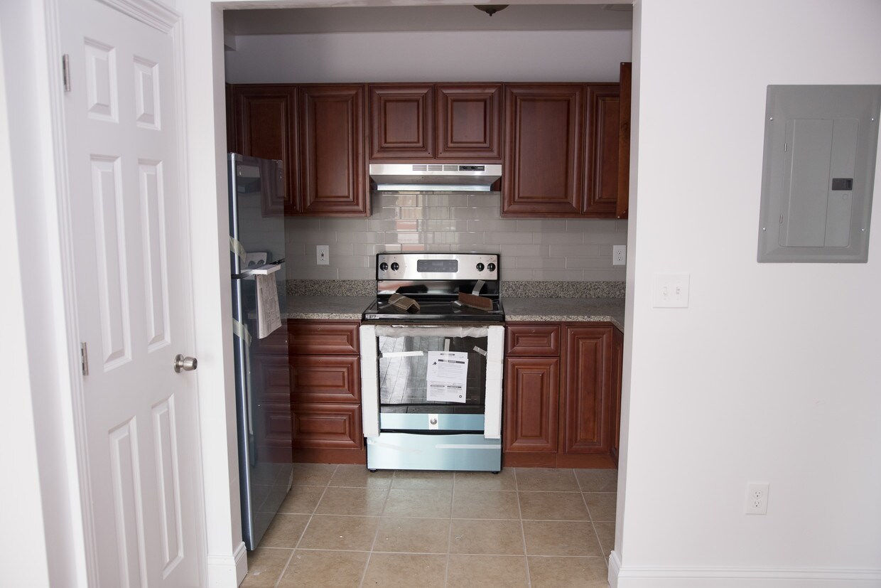
About 2118 Mapes Ave The Bronx, NY 10460
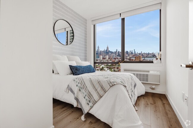
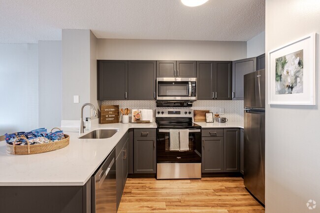
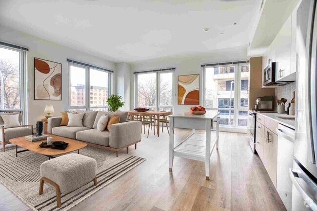
Newly built elevator building with multiple units available. Units feature Custom kitchen cabinetry with granite counter tops and stainless steel appliances. Central air and heat in all units. on site super. Washer and laundry in building
2118 Mapes Ave is an apartment community located in Bronx County and the 10460 ZIP Code.
Apartment Features
- Smoke Free
- Wheelchair Accessible (Rooms)
- Laundry Facilities
Location
Get Directions
Considered the heart of the Italian Bronx, Belmont's old world character attracts visitors from all over the five boroughs. Arthur Avenue constitutes the area's cultural hub, while the world-famous Bronx Zoo makes up its Eastern border. Compared to nearby neighborhoods, Belmont boasts a high concentration of parks, providing some much-needed greenery to offset the urban landscape. With downtown Manhattan only 30 minutes away, this hood features an appealing blend of modern city living within a rich heritage spanning back generations.
Learn more about living in BelmontBelow are rent ranges for similar nearby apartments
| Beds | Average Size | Lowest | Typical | Premium |
|---|---|---|---|---|
| Studio Studio Studio | 387 Sq Ft | $1,600 | $1,968 | $2,100 |
| 1 Bed 1 Bed 1 Bed | 583-596 Sq Ft | $2,300 | $2,987 | $4,400 |
| 2 Beds 2 Beds 2 Beds | 690-715 Sq Ft | $2,117 | $3,366 | $4,975 |
| 3 Beds 3 Beds 3 Beds | 835-852 Sq Ft | $3,600 | $4,477 | $5,600 |
| 4 Beds 4 Beds 4 Beds | 982-996 Sq Ft | $4,000 | $5,891 | $7,300 |
Amenities
- Smoke Free
- Wheelchair Accessible (Rooms)
- Laundry Facilities
Education
| Colleges & Universities | Distance | ||
|---|---|---|---|
| Colleges & Universities | Distance | ||
| Drive: | 5 min | 1.5 mi | |
| Drive: | 6 min | 2.1 mi | |
| Drive: | 7 min | 2.3 mi | |
| Drive: | 7 min | 2.8 mi |
2118 Mapes Ave is within 5 minutes or 1.5 miles from Fordham University, Rose Hill. It is also near Monroe College, Bronx Campus and Bronx Community College.
Transportation options available in The Bronx include West Farms Square-East Tremont Avenue, located 0.7 mile from 2118 Mapes Ave. 2118 Mapes Ave is near Laguardia, located 9.6 miles or 20 minutes away, and John F Kennedy International, located 18.3 miles or 28 minutes away.
| Transit / Subway | Distance | ||
|---|---|---|---|
| Transit / Subway | Distance | ||
|
|
Walk: | 13 min | 0.7 mi |
|
|
Walk: | 14 min | 0.7 mi |
|
|
Walk: | 15 min | 0.8 mi |
|
|
Drive: | 4 min | 1.5 mi |
|
|
Drive: | 4 min | 1.6 mi |
| Commuter Rail | Distance | ||
|---|---|---|---|
| Commuter Rail | Distance | ||
|
|
Walk: | 19 min | 1.0 mi |
|
|
Drive: | 4 min | 1.6 mi |
|
|
Drive: | 5 min | 1.8 mi |
|
|
Drive: | 8 min | 2.7 mi |
|
|
Drive: | 8 min | 2.9 mi |
| Airports | Distance | ||
|---|---|---|---|
| Airports | Distance | ||
|
Laguardia
|
Drive: | 20 min | 9.6 mi |
|
John F Kennedy International
|
Drive: | 28 min | 18.3 mi |
Time and distance from 2118 Mapes Ave.
| Shopping Centers | Distance | ||
|---|---|---|---|
| Shopping Centers | Distance | ||
| Walk: | 4 min | 0.2 mi | |
| Walk: | 4 min | 0.2 mi | |
| Drive: | 4 min | 1.2 mi |
2118 Mapes Ave has 3 shopping centers within 1.2 miles, which is about a 4-minute walk. The miles and minutes will be for the farthest away property.
| Parks and Recreation | Distance | ||
|---|---|---|---|
| Parks and Recreation | Distance | ||
|
Bronx Zoo
|
Walk: | 17 min | 0.9 mi |
|
Crotona Park
|
Drive: | 5 min | 1.6 mi |
|
New York Botanical Garden
|
Drive: | 7 min | 1.8 mi |
|
Bronx Park
|
Drive: | 7 min | 1.8 mi |
|
Starlight Park
|
Drive: | 6 min | 2.4 mi |
2118 Mapes Ave has 5 parks within 2.4 miles, including Bronx Zoo, Crotona Park, and Starlight Park.
| Hospitals | Distance | ||
|---|---|---|---|
| Hospitals | Distance | ||
| Drive: | 4 min | 1.2 mi | |
| Drive: | 5 min | 1.9 mi | |
| Drive: | 8 min | 2.7 mi |
2118 Mapes Ave has 3 hospitals within 2.7 miles, the nearest is St. Barnabas Hospital which is 1.2 miles away and a 4 minute drive.
| Military Bases | Distance | ||
|---|---|---|---|
| Military Bases | Distance | ||
| Drive: | 18 min | 8.8 mi | |
| Drive: | 33 min | 16.3 mi |
2118 Mapes Ave is 8.8 miles from Fort Totten US Govt Reservation, and is convenient to other military bases, including Governors Island Support Center.
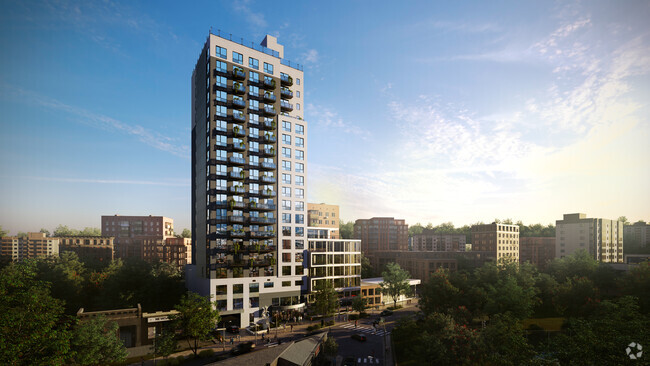
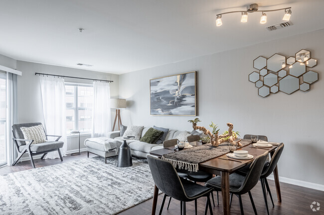
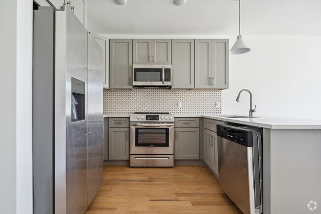
You May Also Like
Similar Rentals Nearby


What Are Walk Score®, Transit Score®, and Bike Score® Ratings?
Walk Score® measures the walkability of any address. Transit Score® measures access to public transit. Bike Score® measures the bikeability of any address.
What is a Sound Score Rating?
A Sound Score Rating aggregates noise caused by vehicle traffic, airplane traffic and local sources