2109 S Delawanda Ave
Muncie, IN 47302
Check Back Soon for Upcoming Availability
| Beds | Baths | Average SF |
|---|---|---|
| 4 Bedrooms 4 Bedrooms 4 Br | 1 Bath 1 Bath 1 Ba | 1,467 SF |
About This Property
Large 4 bedroom new flooring and paint. Living room, dining room, kitchen with stove and refrigerator provided for the tenants use. Large bathroom. Laundry room with washer/Dryer hook-up. Two car garage out back, off street parking in front. Central air, nice size rooms, lots of storage. Front yard in progress. More pics to come. Tenant pays all utilities. No Section 8 Cats only with approval, pet deposit and monthly pet fee
2109 S Delawanda Ave is a house located in Delaware County and the 47302 ZIP Code. This area is served by the Muncie Community Schools attendance zone.
South Muncie, a suburban neighborhood just south of the city of Muncie, Indiana features homes for rent with easy access to the downtown area and Ball State University on the city's northwest side. The Muncie Indiana Transit System serves neighborhood residents with its Southway Centre line. Prairie Creek Reservoir, Muncie's largest park, sits on South Muncie's east side, drawing locals who enjoy boating and fishing, beach and water sports, biking, horseback riding, and camping.
After your outdoor activities, head for a big local favorite, Tacos Sol, where they make tacos and burritos with Mexican sausage. If your taste turns to comfort food, try the chicken fried steak, or liver and onions, with a side of fried mush at 12th Street Cafe. For nighttime entertainment, the Fickle Peach, housed in a 100-year-old building, provides locals with live music and a wide assortment of cold beverages at its busy bar.
Learn more about living in South MuncieBelow are rent ranges for similar nearby apartments
| Colleges & Universities | Distance | ||
|---|---|---|---|
| Colleges & Universities | Distance | ||
| Drive: | 11 min | 5.6 mi | |
| Drive: | 30 min | 20.8 mi | |
| Drive: | 43 min | 27.6 mi | |
| Drive: | 56 min | 39.2 mi |
The GreatSchools Rating helps parents compare schools within a state based on a variety of school quality indicators and provides a helpful picture of how effectively each school serves all of its students. Ratings are on a scale of 1 (below average) to 10 (above average) and can include test scores, college readiness, academic progress, advanced courses, equity, discipline and attendance data. We also advise parents to visit schools, consider other information on school performance and programs, and consider family needs as part of the school selection process.
View GreatSchools Rating Methodology
Data provided by GreatSchools.org © 2026. All rights reserved.
You May Also Like
Similar Rentals Nearby
-
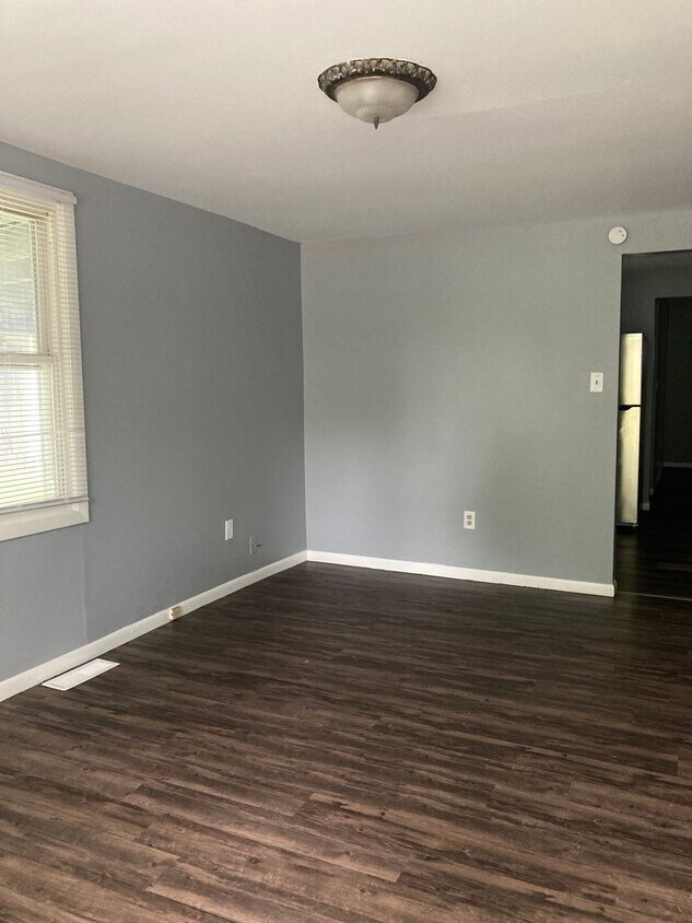
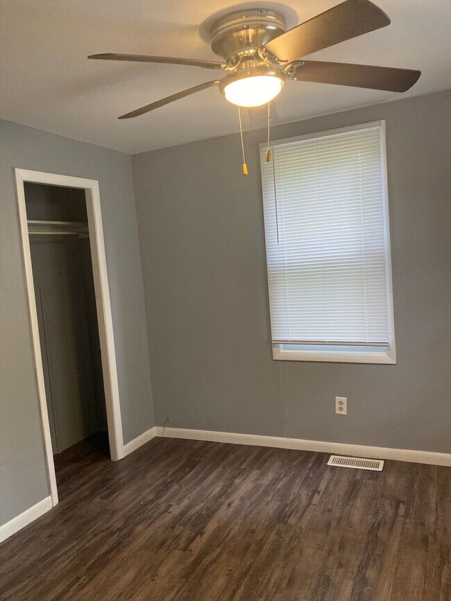
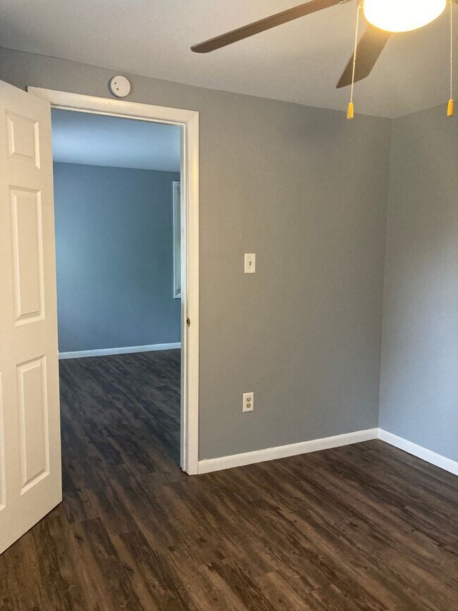
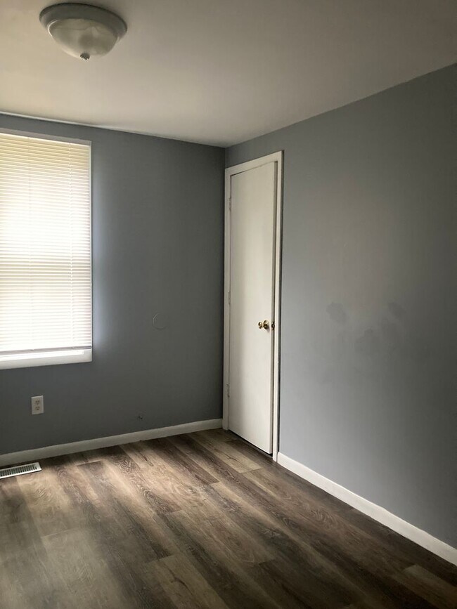
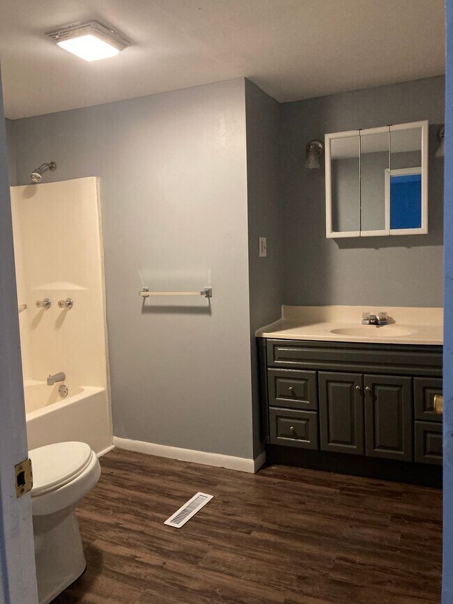
4 Beds, 1.5 Baths, 1,432 sq ft$950Total Monthly Price12 Month LeaseTotal Monthly Price NewPrices include all required monthly fees.2119 S Walnut St
-
4 Beds, 2 Baths, 2,300 sq ft$1,600Total Monthly Price12 Month LeaseTotal Monthly Price NewPrices include all required monthly fees.708 N Alameda Ave
-
5 Beds, 3 Baths, 2,100 sq ft$2,490Total Monthly Price12 Month LeaseTotal Monthly Price NewPrices include all required monthly fees.1420 W University Ave
-
6 Beds, 3.5 Baths, 2,800 sq ft$2,490Total Monthly Price12 Month LeaseTotal Monthly Price NewPrices include all required monthly fees.1417 N Wheeling Ave
-
4 Beds, 1.5 Baths, 1,700 sq ft$1,540Total Monthly Price12 Month LeaseTotal Monthly Price NewPrices include all required monthly fees.927 W Bethel Ave
-
6 Beds, 3 Baths, 1,900 sq ft$2,490Total Monthly Price12 Month LeaseTotal Monthly Price NewPrices include all required monthly fees.422 S Talley Ave
-
6 Beds, 3.5 Baths, 2,000 sq ft$2,490Total Monthly Price12 Month LeaseTotal Monthly Price NewPrices include all required monthly fees.210 S Hutchinson Ave
-
-
-
What Are Walk Score®, Transit Score®, and Bike Score® Ratings?
Walk Score® measures the walkability of any address. Transit Score® measures access to public transit. Bike Score® measures the bikeability of any address.
What is a Sound Score Rating?
A Sound Score Rating aggregates noise caused by vehicle traffic, airplane traffic and local sources.