
Revery
1766 El Camino Real,
Burlingame, CA 94010
$3,728 - $6,352 Total Monthly Price
1-3 Beds
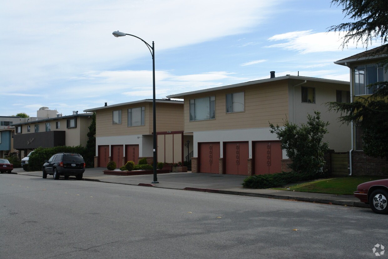
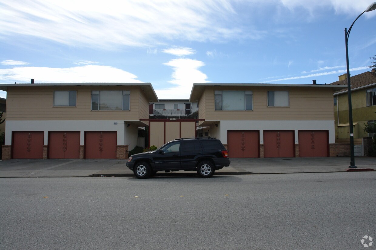

2017 Murchison Dr offers a blend of comfort, style and convenience. These apartments are located in Burlingame on Murchison Dr. in the 94010 area. The leasing team is ready to help you find the perfect floorplan option. Be sure to come for a visit to check out the apartment floorplan options. Experience a new standard at 2017 Murchison Dr.
2017 Murchison Dr is an apartment community located in San Mateo County and the 94010 ZIP Code. This area is served by the Burlingame Elementary School District attendance zone.
Air Conditioning
Heating
Oven
Range
The Ray Park neighborhood is a clean and quiet community featuring a healthy mix of houses and apartments. The Mills – Peninsula Medical Center near the center of the neighborhood is the most dominant landmark, and makes Ray Park a highly convenient location for healthcare professionals to live.
The eponymous park sits on the southeast side of the neighborhood, providing residents with sports fields and playgrounds. Multiple public schools around the community make it easy for students to walk to class, and the convenient access to the retail corridor along El Camino Real makes running errands a breeze.
Learn more about living in Ray ParkCompare neighborhood and city base rent averages by bedroom.
| Ray Park | Burlingame, CA | |
|---|---|---|
| Studio | $2,018 | $2,604 |
| 1 Bedroom | $2,580 | $3,249 |
| 2 Bedrooms | $3,690 | $4,546 |
| 3 Bedrooms | $5,254 | $6,706 |
| Colleges & Universities | Distance | ||
|---|---|---|---|
| Colleges & Universities | Distance | ||
| Drive: | 12 min | 6.6 mi | |
| Drive: | 14 min | 7.9 mi | |
| Drive: | 19 min | 13.3 mi | |
| Drive: | 19 min | 13.7 mi |


Transportation options available in Burlingame include Millbrae (Caltrain Transfer Platform), located 0.7 mile from 2017 Murchison Dr. 2017 Murchison Dr is near San Francisco International, located 3.1 miles or 7 minutes away, and Metro Oakland International, located 30.8 miles or 40 minutes away.
| Transit / Subway | Distance | ||
|---|---|---|---|
| Transit / Subway | Distance | ||
|
|
Walk: | 13 min | 0.7 mi |
|
|
Drive: | 6 min | 2.6 mi |
| Drive: | 7 min | 2.8 mi | |
| Drive: | 6 min | 2.8 mi | |
| Drive: | 7 min | 2.9 mi |
| Commuter Rail | Distance | ||
|---|---|---|---|
| Commuter Rail | Distance | ||
| Walk: | 12 min | 0.7 mi | |
| Drive: | 4 min | 2.0 mi | |
| Drive: | 6 min | 3.1 mi | |
| Drive: | 7 min | 3.4 mi | |
| Drive: | 9 min | 5.8 mi |
| Airports | Distance | ||
|---|---|---|---|
| Airports | Distance | ||
|
San Francisco International
|
Drive: | 7 min | 3.1 mi |
|
Metro Oakland International
|
Drive: | 40 min | 30.8 mi |
Scores provided by
Traffic
-Airport
-Businesses
-Scores provided by
HowLoud What is a Sound Score Rating? A Sound Score Rating aggregates noise caused by vehicle traffic, airplane traffic and local sources. How It WorksTime and distance from 2017 Murchison Dr.
| Shopping Centers | Distance | ||
|---|---|---|---|
| Shopping Centers | Distance | ||
| Walk: | 6 min | 0.3 mi | |
| Walk: | 7 min | 0.4 mi | |
| Walk: | 17 min | 0.9 mi |
| Parks and Recreation | Distance | ||
|---|---|---|---|
| Parks and Recreation | Distance | ||
|
Bayside Park
|
Drive: | 5 min | 2.6 mi |
|
Japanese Tea Garden (San Mateo)
|
Drive: | 8 min | 4.5 mi |
|
San Mateo Arboretum
|
Drive: | 9 min | 4.8 mi |
|
Coyote Point Recreational Area
|
Drive: | 11 min | 4.9 mi |
|
CuriOdyssey
|
Drive: | 11 min | 4.9 mi |
| Hospitals | Distance | ||
|---|---|---|---|
| Hospitals | Distance | ||
| Walk: | 9 min | 0.5 mi | |
| Drive: | 10 min | 5.6 mi | |
| Drive: | 14 min | 9.1 mi |
| Military Bases | Distance | ||
|---|---|---|---|
| Military Bases | Distance | ||
| Drive: | 32 min | 18.0 mi | |
| Drive: | 44 min | 27.8 mi | |
| Drive: | 45 min | 28.1 mi |
What Are Walk Score®, Transit Score®, and Bike Score® Ratings?
Walk Score® measures the walkability of any address. Transit Score® measures access to public transit. Bike Score® measures the bikeability of any address.
What is a Sound Score Rating?
A Sound Score Rating aggregates noise caused by vehicle traffic, airplane traffic and local sources.


