


$795
/ Month
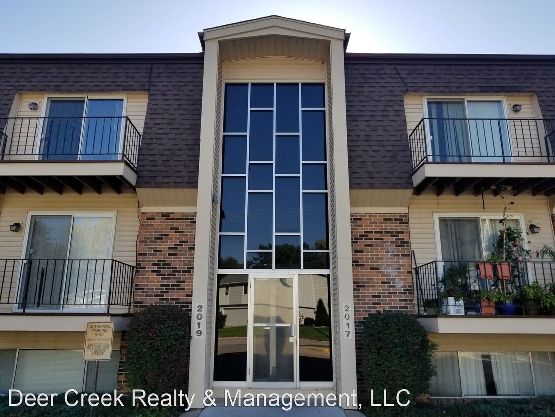
2017 Benson Gardens Blvd
Omaha, NE 68134
Favorites
2017 Benson Gardens Blvd

Favorites
Check Back Soon for Upcoming Availability
| Beds | Baths | Average SF |
|---|---|---|
| 2 Bedrooms 2 Bedrooms 2 Br | 1 Bath 1 Bath 1 Ba | 850 SF |
About This Property
(402) 650-2294 - - (RLNE3673923)
2017 Benson Gardens Blvd is an apartment community located in Douglas County and the 68134 ZIP Code.
2017 Benson Gardens Blvd,
Omaha,
NE
68134
Benson Gardens is a small rectangular neighborhood situated between Highway 133 and 72nd Street, just outside of Downtown Omaha. Benson Gardens is largely residential, but a variety of restaurants and the Plaza 90 Shopping Center can be found along the neighborhood’s border roads. A short trip north of Benson Gardens will take residents to larger shopping destinations like the Village Pointe Shopping Center, or travel south of the neighborhood to easily access the Keystone Trail, which follows the Little Papillion Creek. Within the neighborhood, renters will find that many of Benson Garden’s rental options are affordable apartments situated towards the edges of the neighborhood.
Learn more about living in Benson GardensBelow are rent ranges for similar nearby apartments
Education
| Colleges & Universities | Distance | ||
|---|---|---|---|
| Colleges & Universities | Distance | ||
| Drive: | 10 min | 3.5 mi | |
| Drive: | 10 min | 4.3 mi | |
| Drive: | 10 min | 4.4 mi | |
| Drive: | 10 min | 5.8 mi |
2017 Benson Gardens Blvd is within 10 minutes or 3.5 miles from Omaha. It is also near Clarkson College and Univ. of Nebraska Medical.
Walkability Near 2017 Benson Gardens Blvd Omaha, NE 68134
Getting Around
 What do Walkability, Transit, Drivability, and Bikeability mean?
Walkability measures the walking distance to day-to-day needs.
Transit measures access to public transportation.
Drivability measures congestion, parking availability, and access to major roads.
Bikeability measures the suitability for cycling.
How It Works
What do Walkability, Transit, Drivability, and Bikeability mean?
Walkability measures the walking distance to day-to-day needs.
Transit measures access to public transportation.
Drivability measures congestion, parking availability, and access to major roads.
Bikeability measures the suitability for cycling.
How It Works
Moderately Walkable
Walkability
60
/ 100
Limited Public Transit
Transit
30
/ 100
Moderately Drivable
Drivability
70
/ 100
Fairly Bikeable
Bikeability
50
/ 100
Scores provided by
-
Soundscore™
-
/ 100
Traffic
-Airport
-Businesses
-Scores provided by
HowLoud What is a Sound Score Rating? A Sound Score Rating aggregates noise caused by vehicle traffic, airplane traffic and local sources. How It WorksYou May Also Like
Similar Rentals Nearby


What Are Walk Score®, Transit Score®, and Bike Score® Ratings?
Walk Score® measures the walkability of any address. Transit Score® measures access to public transit. Bike Score® measures the bikeability of any address.
What is a Sound Score Rating?
A Sound Score Rating aggregates noise caused by vehicle traffic, airplane traffic and local sources.
2017 Benson Gardens Blvd
Omaha, NE 68134