
$2,400 / Month
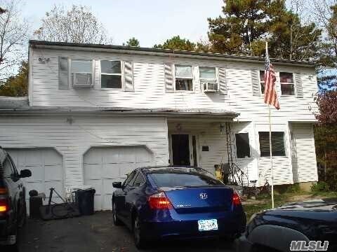
2013 William Floyd Pkwy
Ridge, NY 11961
2 Weeks Ago
Favorites
2013 William Floyd Pkwy

Favorites
Check Back Soon for Upcoming Availability
| Beds | Baths | Average SF |
|---|---|---|
| 5 Bedrooms 5 Bedrooms 5 Br | 4 Baths 4 Baths 4 Ba | — |
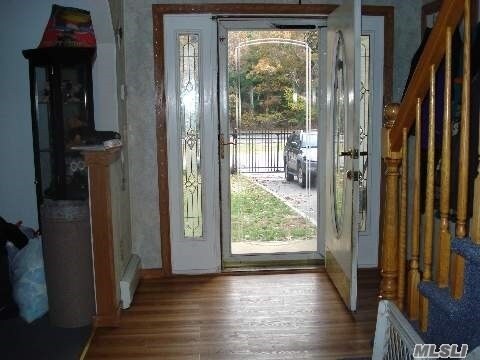
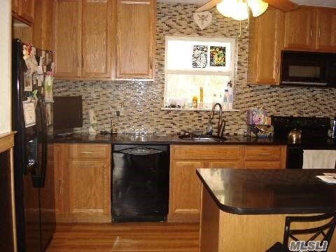
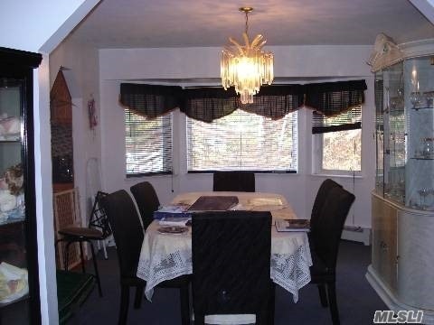
About This Property
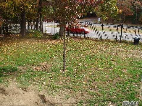
Owner Requires 650+ Credit Pof & Ref. Large 5 Br Home Fenced Yard, Basement & Gar
2013 William Floyd Pkwy is a house located in Suffolk County and the 11961 ZIP Code.
Location
Get Directions
Located on Long Island, Ridge is a village within the town of Brookhaven. Great for renters looking for affordability without sacrificing quality, Ridge offers a variety of cozy, New England-inspired rentals from single-family homes to apartments to condos. Families flock to the area because Ridge is quiet, safe, and they have access to some of the best schools in the area. Dominated by lush forests and green space, Ridge is the perfect place for nature enthusiasts who still want to be able to travel into the city for a weekend or night out. Ridge is home to the Brookhaven State Park, which features over 25 miles of trails for hiking, hunting, and more stretched across over 1,000-plus acres of land.
Learn more about living in Ridge
Education
| Colleges & Universities | Distance | ||
|---|---|---|---|
| Colleges & Universities | Distance | ||
| Drive: | 21 min | 13.4 mi | |
| Drive: | 22 min | 14.6 mi | |
| Drive: | 27 min | 16.9 mi | |
| Drive: | 30 min | 19.3 mi |
2013 William Floyd Pkwy is within 22 minutes or 14.6 miles from SUNY Suffolk Co., Ammerman. It is also near St Joseph's Coll., Long Island and SUNY Suffolk Co., Eastern.
You May Also Like
Similar Rentals Nearby


What Are Walk Score®, Transit Score®, and Bike Score® Ratings?
Walk Score® measures the walkability of any address. Transit Score® measures access to public transit. Bike Score® measures the bikeability of any address.
What is a Sound Score Rating?
A Sound Score Rating aggregates noise caused by vehicle traffic, airplane traffic and local sources

2013 William Floyd Pkwy
Ridge, NY 11961