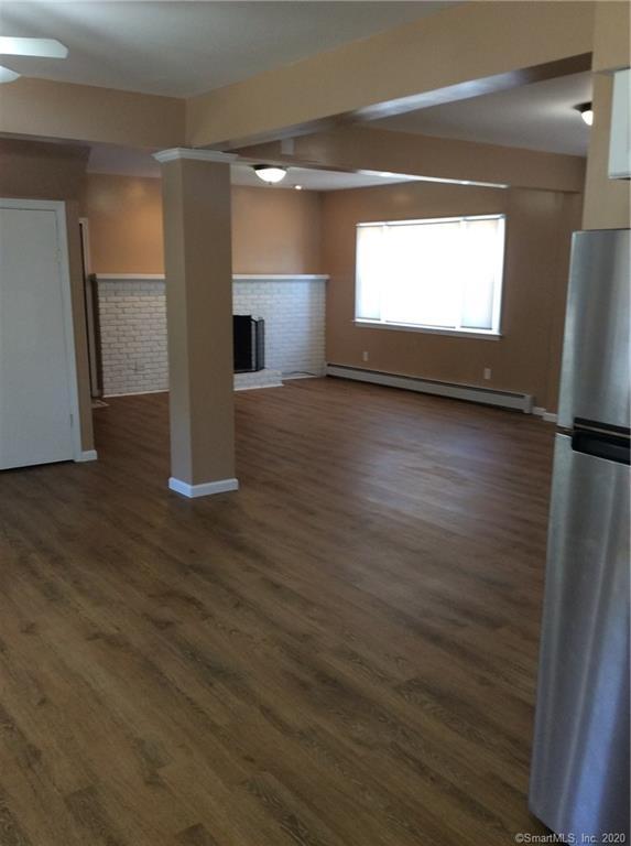


$2,650
Total Monthly Price
12 Month Lease
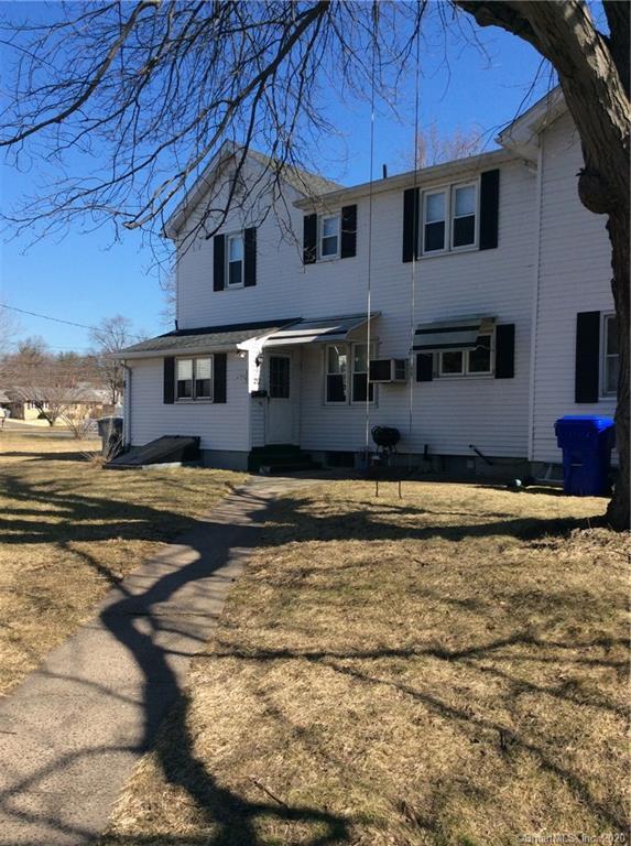
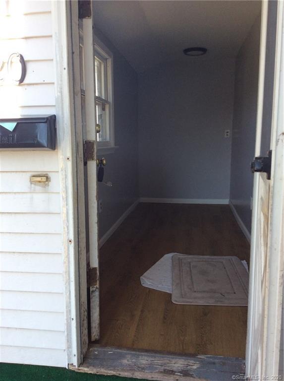
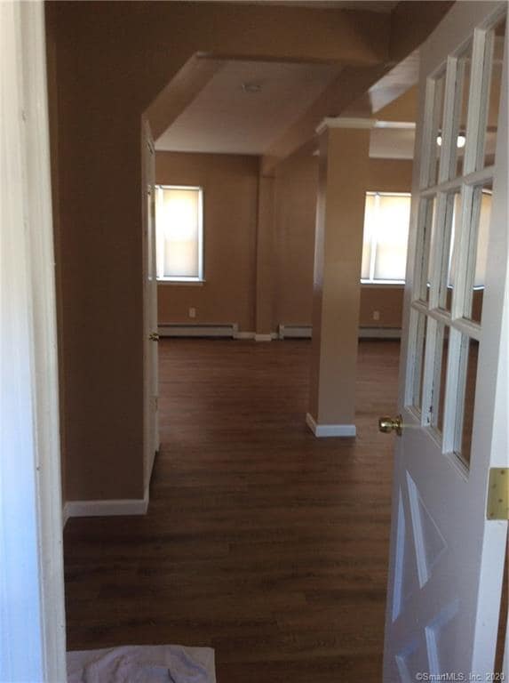
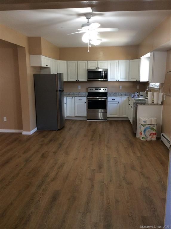
5 Beds, 2.5 Baths, 1,800 sq ft
Townhome for Rent


