
$2,875 / Month

1989 Picadilly Way

,

Manteca, CA 95336

Share Listing
Favorites
209-566-1800
  • Bedrooms

    3

  • Bathrooms

    2

  • Square Feet

    1,973 sq ft

  • Available

    Available Sep 16

1989 Picadilly Way
Share Listing
Favorites

About This Home

Available Sep 16

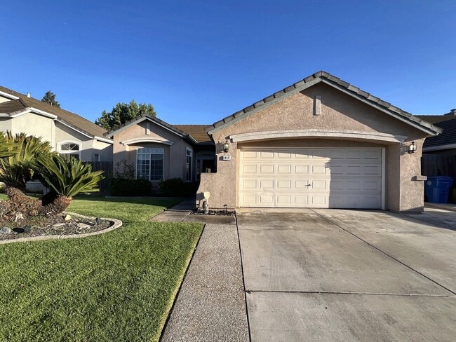
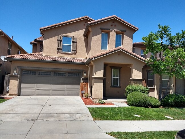
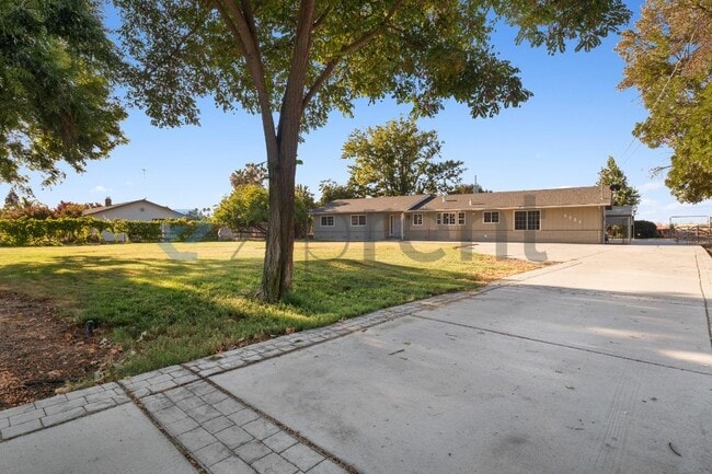
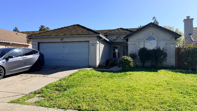
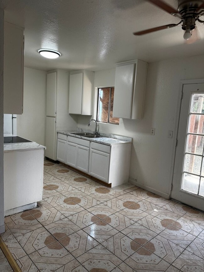
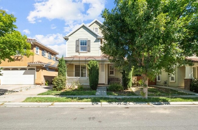
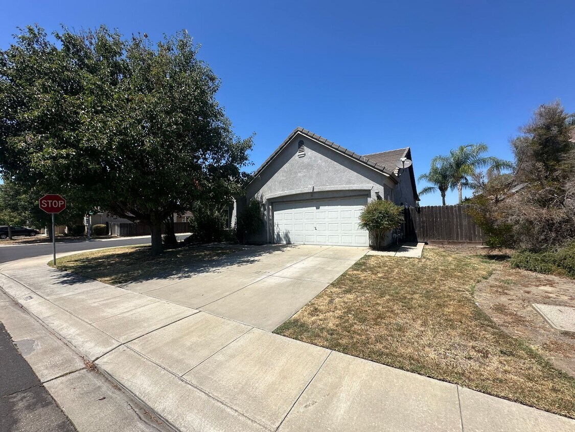
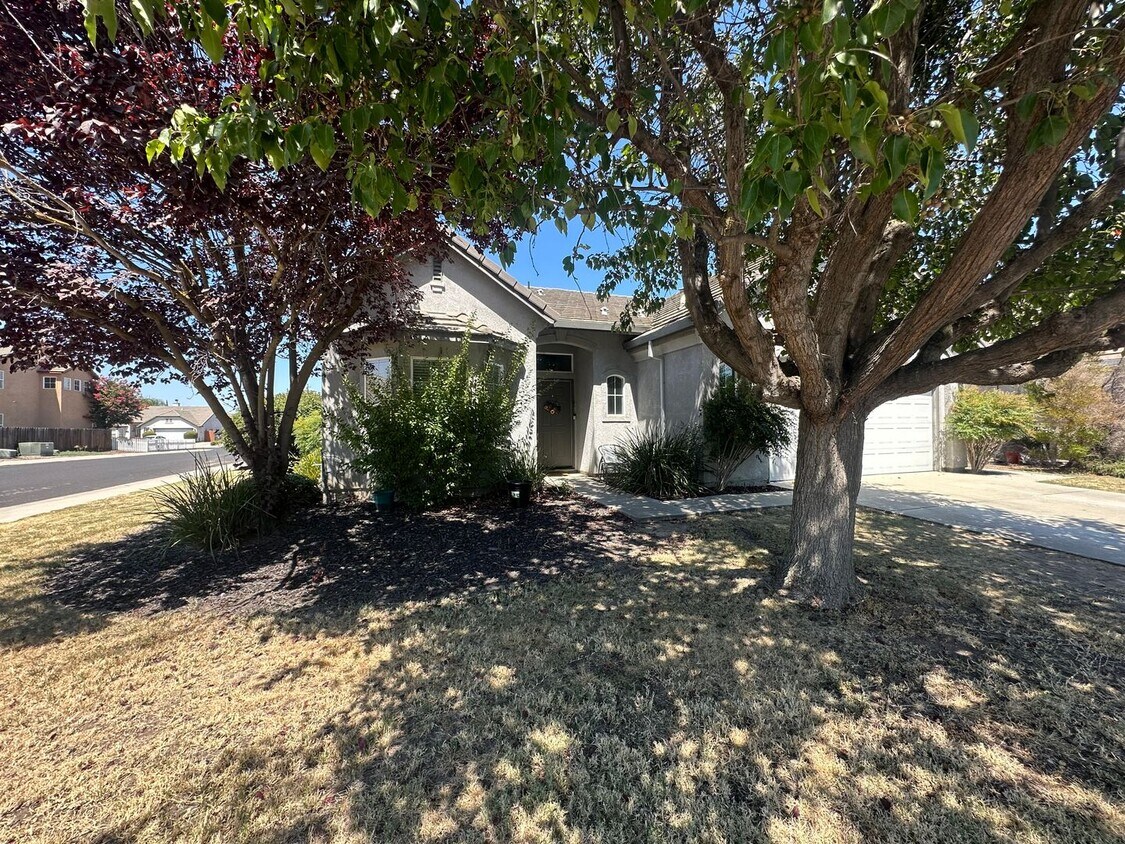
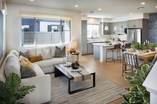
This single-family home with vaulted celings & highlight windows was built in 2003 and has approximately 1,973 square feet with a family room, dining area, tile flooring, blinds, tile countertops, gas range, dishwasher, microwave, garbage disposal, central heating and air conditioning, ceiling fans throughout, gas fireplace, inside laundry room, two-car garage w/electric opener, front & backyard w/ automatic sprinklers and a back patio. Bi-weekly landscaping services included. Close to schools, parks, and shopping. Located W Lathrop Rd to Airport Way right onto Hasting Dr on the corner of Dinesh Ln & Picadilly Ct. One Year Lease Required. Renter's Insurance Required. Pets negotiable. Zillow rental applications are not accepted. Please review our Leasing Guidelines before applying. Residents may enroll in a Resident Benefits Package (RBP) for an additional monthly fee. The RBP includes renter’s insurance, HVAC air filter delivery, on-demand pest control, credit building, identity theft protection, and a resident rewards program. The total monthly cost of the Resident Benefits Package is $51.95 per month. Residents have the option to personalize some components during onboarding, which may decrease the monthly fee. Additional details are available upon request.

Unique Features

  • Landscape Maintenance

1989 Picadilly Way is a house located in San Joaquin County and the 95336 ZIP Code.

* Price shown is base rent. Excludes user-selected optional fees and variable or usage-based fees and required charges due at or prior to move-in or at move-out. Price, availability, fees, and any applicable rent special are subject to change without notice.
* Square footage definitions vary. Displayed square footage is approximate.

House Features

  • Dishwasher
  • Microwave
  • Range

Fees and Policies

The fees listed below are community-provided and may exclude utilities or add-ons. All payments are made directly to the property and are non-refundable unless otherwise specified.

  • Dogs Allowed
  • Fees not specified
  • Cats Allowed
  • Fees not specified

Contact

  • Listed by Countryside
  • Phone Number
  • Contact
| Edit

Under 30 minutes

Commute Time is calculated at rush hour.
Neighborhood

The area known as West Manteca largely incorporates the city of Lathrop, which sits just a few miles west of Manteca’s quaint downtown area. Nestled in the scenic San Joaquin Valley between Stockton and Modesto, Lathrop is regarded for being one of California’s most efficient master-planned communities.

Lathrop offers a blend of suburban and rural amenities, from an array of convenient shopping centers to the popular Dell’Osso Family Farm. Lathrop is also proximate to the many charms of Downtown Manteca, which is just a 10-minute drive away. Many residents enjoy Lathrop’s peaceful, family-friendly atmosphere, in addition to its central location. Convenience to Interstates 5 and 205 as well as Highway 99 makes commuting from West Manteca to nearby city centers simple.

Learn more about living in West Manteca 
Amenities
  • Dishwasher
  • Microwave
  • Range
  • Landscape Maintenance
Education
Colleges & Universities Distance
Drive: 20 min 13.8 mi
Drive: 22 min 15.1 mi
Drive: 25 min 18.5 mi
Drive: 28 min 21.3 mi
1989 Picadilly Way is within 20 minutes or 13.8 miles from University of the Pacific. It is also near San Joaquin Delta, Stockton and Modesto Junior College, West.
Transportation

1989 Picadilly Way is near Stockton Metro, located 5.4 miles or 10 minutes away.

Commuter Rail Distance
Drive: 6 min 2.9 mi
Drive: 18 min 12.5 mi
Drive: 25 min 16.9 mi
Drive: 40 min 31.3 mi
Drive: 42 min 33.1 mi
Airports Distance
Airports Distance
Stockton Metro
Drive: 10 min 5.4 mi
Getting Around
Somewhat Walkable
Walkability
30 / 100
Minimal Public Transit
Transit
0 / 100
Exceptionally Drivable
Drivability
90 / 100
Fairly Bikeable
Bikeability
40 / 100

Scores provided by

What do Walkability, Transit, Drivability, and Bikeability mean? Walkability measures the walking distance to day-to-day needs. Transit measures access to public transportation. Drivability measures congestion, parking availability, and access to major roads. Bikeability measures the suitability for cycling. How It Works
-
Soundscore
- / 100

Traffic

-

Airport

-

Businesses

-

Scores provided by

HowLoud What is a Sound Score Rating? A Sound Score Rating aggregates noise caused by vehicle traffic, airplane traffic and local sources. How It Works
Points of Interest

Time and distance from 1989 Picadilly Way.

Shopping Centers Distance
Walk: 18 min 0.9 mi
Walk: 19 min 1.0 mi
Drive: 2 min 1.2 mi
1989 Picadilly Way has 3 shopping centers within 1.2 miles, which is about a 2-minute drive. The miles and minutes will be for the farthest away property.
Parks and Recreation Distance
Children's Museum of Stockton
Drive: 16 min 11.4 mi
Caswell Memorial State Park
Drive: 27 min 12.3 mi
1989 Picadilly Way has 2 parks within 12.3 miles, including Children's Museum of Stockton, and Caswell Memorial State Park.
Hospitals Distance
Hospitals Distance
Drive: 4 min 2.2 mi
Drive: 9 min 5.4 mi
Drive: 10 min 6.7 mi
1989 Picadilly Way has 3 hospitals within 6.7 miles, the nearest is Kaiser Foundation Hospital Manteca which is 2.2 miles away and a 4 minute drive.
Military Bases Distance
Drive: 6 min 2.1 mi
Drive: 26 min 15.7 mi
Drive: 90 min 58.1 mi
1989 Picadilly Way has 3 military bases within 58.1 miles, the nearest is Sharpe Army Depot which is 2.1 miles away and a 6 minute drive.

You May Also Like

Similar Rentals Nearby