$1,300 / Month
1973 Mapes Ave Unit 1
Bronx, NY 10460
2 Weeks Ago
Favorites
1973 Mapes Ave Unit 1

Favorites
Check Back Soon for Upcoming Availability
| Beds | Baths | Average SF |
|---|---|---|
| Studio Studio 0 Br | 1 Bath 1 Bath 1 Ba | 600 SF |
Fees and Policies
The fees below are based on community-supplied data and may exclude additional fees and utilities.
- Parking
-
Street--
Details
Property Information
-
3 units
About This Property
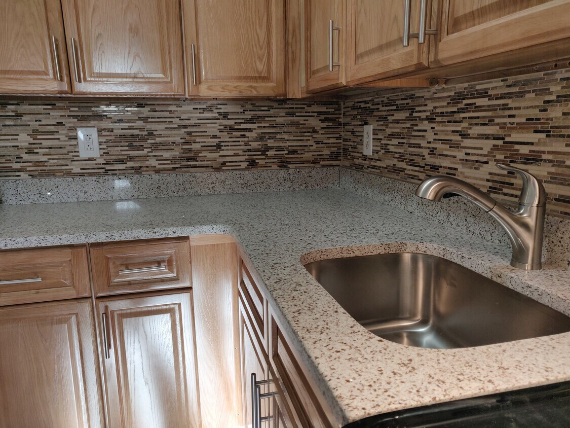
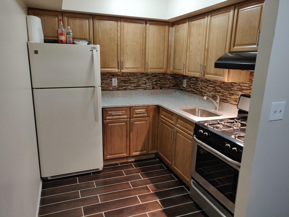
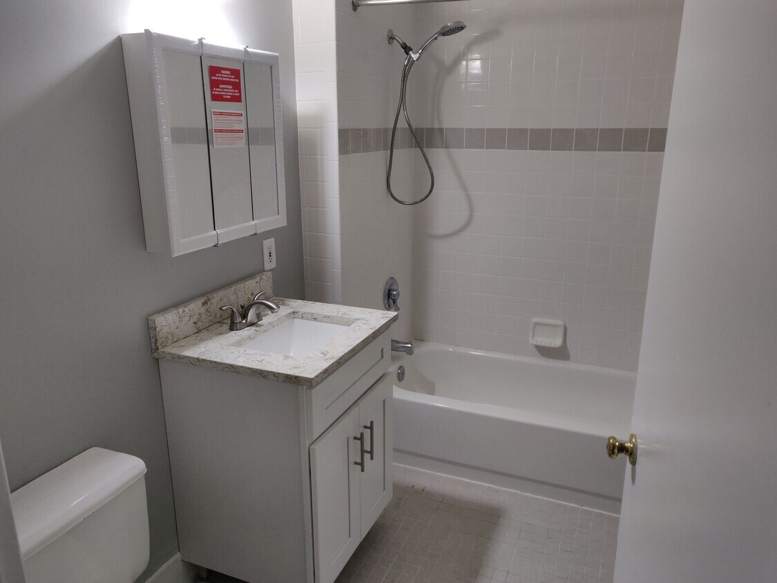
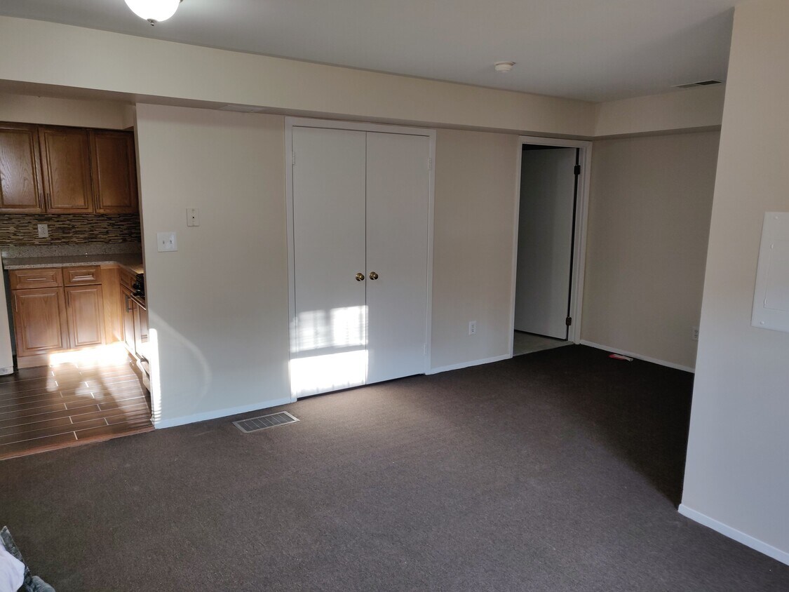
Newly renovated studio apartment, Your own private entrance, close to transportation and shopping. Really convenient 35 minutes on Subway to midtown Manhattan. Walking distance from the Bronx Zoo and Botanical Gardens. Lots of available street parking. Act fast this unit won't last long. Income $3900/month or more Credit & Background check required No pets No smoking
1973 Mapes Ave is an apartment community located in Bronx County and the 10460 ZIP Code.
Apartment Features
- Smoke Free
- Wheelchair Accessible
Location
Get Directions
The Bronx is considered one of New York’s trendiest neighborhoods. Separated from Manhattan by the Harlem River, the Bronx is busy, chaotic, and diverse — in fact, more than 75 different languages are spoken here. While it’s famous for its attractions like Yankee Stadium and the Bronx Zoo, there’s much more to this iconic borough.
Overflowing with unique charm and classic brownstones, the Bronx also features art deco designs and amazing food in locations like Little Italy. Hip-hop originated in South Bronx during the 1980s, and music is still an integral part of the community.
You might think living in the Bronx means traffic horns, concrete, and pedestrian-filled sidewalks. And, yes, that’s all true, but there are several parks in the Bronx, as well. The New York Botanical Garden stands out with an impressive sprawl of 50 gardens and 30,000 trees. Orchard Beach provides a sweet waterside escape, while Wave Hill Public Gardens offers scenic views of the Hudson River.
Learn more about living in BronxBelow are rent ranges for similar nearby apartments
Amenities
- Smoke Free
- Wheelchair Accessible
Education
| Colleges & Universities | Distance | ||
|---|---|---|---|
| Colleges & Universities | Distance | ||
| Drive: | 5 min | 1.6 mi | |
| Drive: | 6 min | 2.1 mi | |
| Drive: | 6 min | 2.3 mi | |
| Drive: | 7 min | 2.9 mi |
1973 Mapes Ave Unit 1 is within 5 minutes or 1.6 miles from Fordham University, Rose Hill. It is also near Monroe College, Bronx Campus and Bronx Community College.
Transportation options available in Bronx include West Farms Sq-E Tremont Av, located 0.5 mile from 1973 Mapes Ave Unit 1. 1973 Mapes Ave Unit 1 is near LaGuardia, located 9.3 miles or 20 minutes away, and John F Kennedy International, located 18.1 miles or 27 minutes away.
| Transit / Subway | Distance | ||
|---|---|---|---|
| Transit / Subway | Distance | ||
| Walk: | 10 min | 0.5 mi | |
| Walk: | 11 min | 0.6 mi | |
| Walk: | 17 min | 0.9 mi | |
| Drive: | 2 min | 1.1 mi | |
| Drive: | 4 min | 1.2 mi |
| Commuter Rail | Distance | ||
|---|---|---|---|
| Commuter Rail | Distance | ||
| Walk: | 14 min | 0.7 mi | |
| Drive: | 5 min | 1.8 mi | |
| Drive: | 5 min | 1.8 mi | |
| Drive: | 8 min | 2.5 mi | |
| Drive: | 8 min | 2.6 mi |
| Airports | Distance | ||
|---|---|---|---|
| Airports | Distance | ||
|
LaGuardia
|
Drive: | 20 min | 9.3 mi |
|
John F Kennedy International
|
Drive: | 27 min | 18.1 mi |
Time and distance from 1973 Mapes Ave Unit 1.
| Shopping Centers | Distance | ||
|---|---|---|---|
| Shopping Centers | Distance | ||
| Walk: | 8 min | 0.5 mi | |
| Walk: | 9 min | 0.5 mi | |
| Walk: | 15 min | 0.8 mi |
1973 Mapes Ave Unit 1 has 3 shopping centers within 0.8 mile, which is about a 15-minute walk. The miles and minutes will be for the farthest away property.
| Parks and Recreation | Distance | ||
|---|---|---|---|
| Parks and Recreation | Distance | ||
|
Bronx Zoo
|
Walk: | 21 min | 1.1 mi |
|
Crotona Park
|
Drive: | 4 min | 1.4 mi |
|
New York Botanical Garden
|
Drive: | 7 min | 1.9 mi |
|
Claremont Park
|
Drive: | 5 min | 1.9 mi |
|
Starlight Park
|
Drive: | 5 min | 2.2 mi |
1973 Mapes Ave Unit 1 has 5 parks within 2.2 miles, including Crotona Park, Starlight Park, and Bronx Zoo.
| Hospitals | Distance | ||
|---|---|---|---|
| Hospitals | Distance | ||
| Drive: | 4 min | 1.3 mi | |
| Drive: | 4 min | 1.7 mi | |
| Drive: | 6 min | 2.6 mi |
1973 Mapes Ave Unit 1 has 3 hospitals within 2.6 miles, the nearest is St. Barnabas Hospital which is 1.3 miles away and a 4 minute drive.
| Military Bases | Distance | ||
|---|---|---|---|
| Military Bases | Distance | ||
| Drive: | 17 min | 8.6 mi | |
| Drive: | 32 min | 16.0 mi |
1973 Mapes Ave Unit 1 is 8.6 miles from Fort Totten US Govt Reservation, and is convenient to other military bases, including Governors Island Support Center.
You May Also Like
Similar Rentals Nearby


What Are Walk Score®, Transit Score®, and Bike Score® Ratings?
Walk Score® measures the walkability of any address. Transit Score® measures access to public transit. Bike Score® measures the bikeability of any address.
What is a Sound Score Rating?
A Sound Score Rating aggregates noise caused by vehicle traffic, airplane traffic and local sources

1973 Mapes Ave
Bronx, NY 10460