
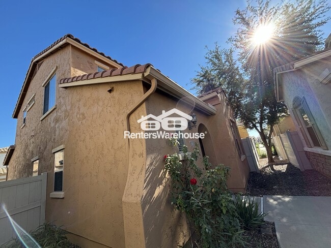
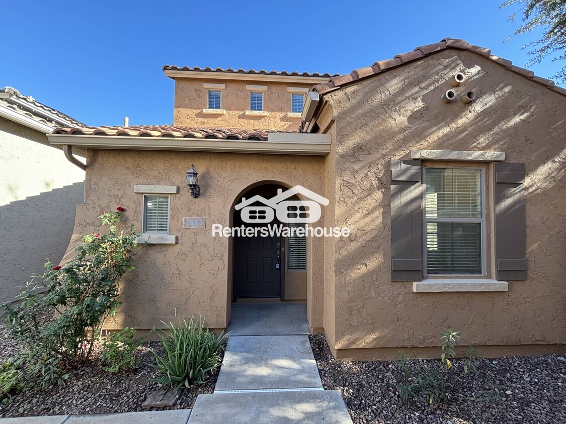
1933 W Davis Rd
Phoenix, AZ 85023
-
Bedrooms
3
-
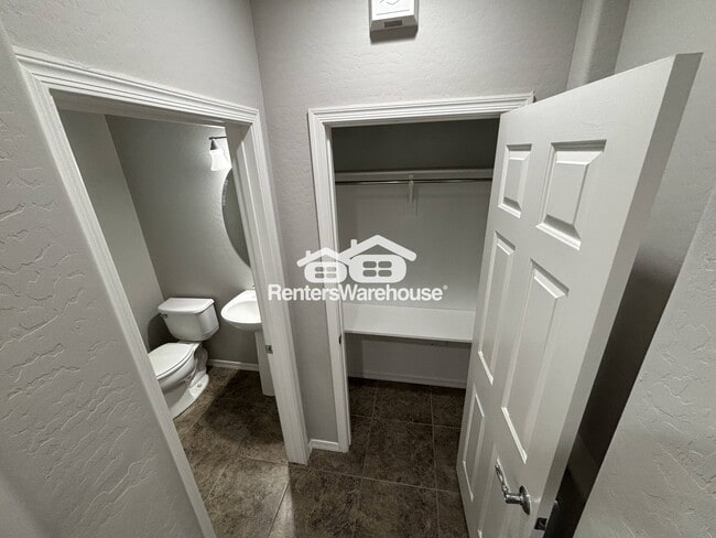
Bathrooms
3
-
Square Feet
1,871 sq ft
-
Available
Available Now
Highlight
- Pets Allowed

About This Home
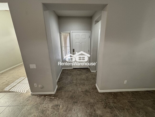
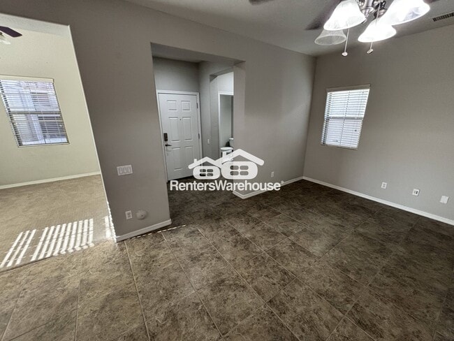
Discover your new home at 1933 W Davis Rd, Phoenix 85023 – an oasis featuring a stunning open-concept layout that seamlessly blends comfort and style. Ideal for modern living, this 3-bedroom, 3-bathroom gem boasts 1,871 sq ft of spacious interiors perfect for relaxation and entertainment. Nestled in a vibrant neighborhood, enjoy convenient access to local parks, dining, and shopping centers. This property, presented by Renters Warehouse, includes recent upgrades and a contemporary design that elevates your living experience. Those with pets are invited to apply! Don't miss out on this exceptional rental opportunity! Contact us today to schedule a viewing and see for yourself the charm and convenience this Phoenix home offers.
1933 W Davis Rd is a house located in Maricopa County and the 85023 ZIP Code. This area is served by the Washington Elementary attendance zone.
Fees and Policies
The fees below are based on community-supplied data and may exclude additional fees and utilities.
-
Dogs
-
Allowed
-
-
Cats
-
Allowed
-
Property Fee Disclaimer: Based on community-supplied data and independent market research. Subject to change without notice. May exclude fees for mandatory or optional services and usage-based utilities.
House Features
- Microwave
- Refrigerator
Contact
- Phone Number
- Website View Property Website
- Contact
-
Source

- Microwave
- Refrigerator
Deer Valley is a family-friendly suburb and residential neighborhood that’s constantly evolving. There are abundant outdoor recreational opportunities in Deer Valley because of its proximity to several natural attractions like Deem Hills and Cave Buttes, both known for scenic hiking and mountain biking trails. Residents have easy access to abundant shopping opportunities without having to leave town at places like Deer Valley Towne Center and Bell Towne Plaza. Deer Valley is home to good public schools and is the ideal suburb for those commuting to Downtown Phoenix and beyond, located less than 20 miles south of town along Interstate 17.
Learn more about living in Deer Valley| Colleges & Universities | Distance | ||
|---|---|---|---|
| Colleges & Universities | Distance | ||
| Drive: | 11 min | 5.5 mi | |
| Drive: | 12 min | 5.7 mi | |
| Drive: | 14 min | 6.3 mi | |
| Drive: | 11 min | 6.6 mi |


View GreatSchools Rating Methodology
Data provided by GreatSchools.org © 2025. All rights reserved.
Transportation options available in Phoenix include 19Th Ave/Dunlap, located 5.0 miles from 1933 W Davis Rd. 1933 W Davis Rd is near Phoenix Sky Harbor International, located 21.3 miles or 32 minutes away, and Phoenix-Mesa Gateway, located 48.1 miles or 64 minutes away.
| Transit / Subway | Distance | ||
|---|---|---|---|
| Transit / Subway | Distance | ||
|
|
Drive: | 10 min | 5.0 mi |
|
|
Drive: | 9 min | 5.3 mi |
|
|
Drive: | 10 min | 5.5 mi |
|
|
Drive: | 10 min | 5.7 mi |
|
|
Drive: | 12 min | 6.2 mi |
| Airports | Distance | ||
|---|---|---|---|
| Airports | Distance | ||
|
Phoenix Sky Harbor International
|
Drive: | 32 min | 21.3 mi |
|
Phoenix-Mesa Gateway
|
Drive: | 64 min | 48.1 mi |
Time and distance from 1933 W Davis Rd.
| Shopping Centers | Distance | ||
|---|---|---|---|
| Shopping Centers | Distance | ||
| Walk: | 13 min | 0.7 mi | |
| Drive: | 3 min | 1.3 mi |
| Parks and Recreation | Distance | ||
|---|---|---|---|
| Parks and Recreation | Distance | ||
|
Conocido Park
|
Drive: | 5 min | 2.5 mi |
|
Turtle Rock Basin
|
Drive: | 7 min | 3.6 mi |
|
Acoma Park
|
Drive: | 7 min | 3.7 mi |
|
Grovers Basin
|
Drive: | 9 min | 4.8 mi |
|
Lookout Mountain Park
|
Drive: | 11 min | 5.6 mi |
| Hospitals | Distance | ||
|---|---|---|---|
| Hospitals | Distance | ||
| Drive: | 7 min | 3.6 mi | |
| Drive: | 8 min | 4.8 mi | |
| Drive: | 12 min | 6.3 mi |
| Military Bases | Distance | ||
|---|---|---|---|
| Military Bases | Distance | ||
| Drive: | 34 min | 21.0 mi | |
| Drive: | 32 min | 21.2 mi | |
| Drive: | 112 min | 84.6 mi |
You May Also Like
What Are Walk Score®, Transit Score®, and Bike Score® Ratings?
Walk Score® measures the walkability of any address. Transit Score® measures access to public transit. Bike Score® measures the bikeability of any address.
What is a Sound Score Rating?
A Sound Score Rating aggregates noise caused by vehicle traffic, airplane traffic and local sources
1933 W Davis Rd
Phoenix, AZ 85023