


4 Beds, 3.5 Baths, 2,350 sq ft
$2,400
Total Monthly Price
12 Month Lease
Total Monthly Price
New
Prices include all required monthly fees.
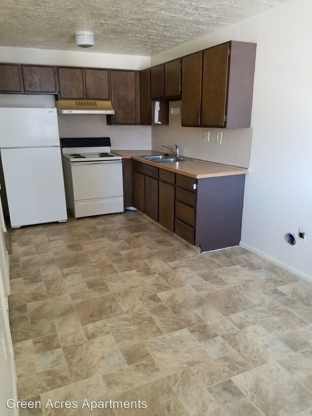
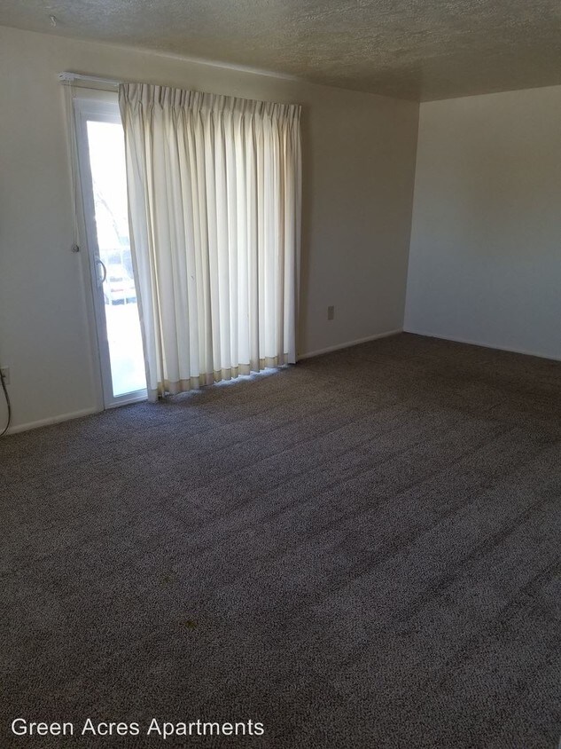
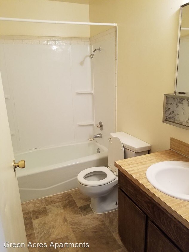
490 E 700 S Unit 520


