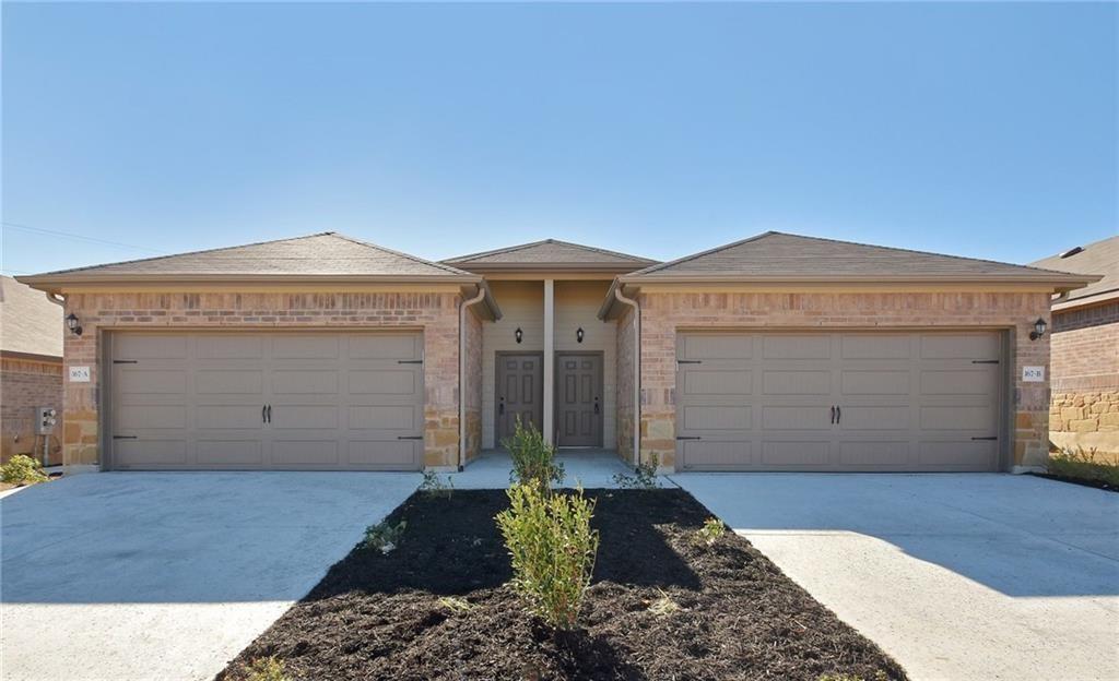
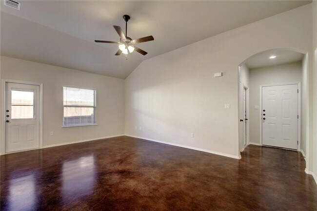
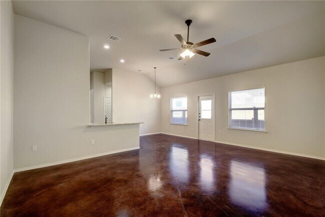
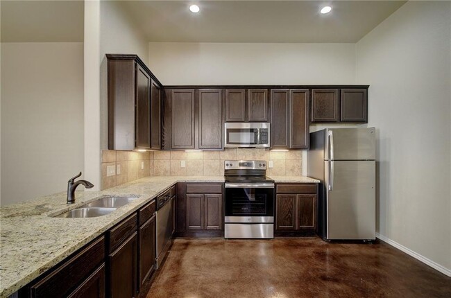
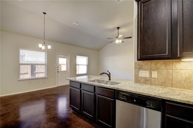
$1,599 / Month

167 Joanne Loop

,

Buda, TX 78610

Share Listing
Favorites
167 Joanne Loop
Share Listing
Favorites

Check Back Soon for Upcoming Availability

Beds Baths Average SF
3 Bedrooms 3 Bedrooms 3 Br 2 Baths 2 Baths 2 Ba 1,372 SF

About This Property

Lots of upgrades, Epoxy on the garage floors. Stained fence's which over time will look so much more appealing and Gutters all around, , There is No duplex across the street so plenty of parking for visitors. 11 Foot Ceilings in Living Room, 10 Foot Ceilings in Master Bedroom, 21' x 9' Covered Patio on each side with Ceiling Fan, Radiant Barrier Attic for BETTER electric Bills!

167 Joanne Loop is a townhome located in Hays County and the 78610 ZIP Code. This area is served by the Hays Consolidated Independent School District attendance zone.

Location
167 Joanne Loop, Buda,
TX 78610
Get Directions
| Edit

Under 30 minutes

Commute Time is calculated at rush hour.
Education
Colleges & Universities Distance
Drive: 17 min 11.2 mi
Drive: 20 min 12.0 mi
Drive: 19 min 12.8 mi
Drive: 25 min 15.7 mi
167 Joanne Loop is within 17 minutes or 11.2 miles from USAHS. It is also near Austin C.C., South Austin and St. Edward's University.
Schools
Public Elementary School
Grades PK-5
604 Students
Attendance Zone
Public Middle School
Grades 6-8
816 Students
Attendance Zone
Public High School
Grades 9-12
2,062 Students
Attendance Zone
Private Elementary, Middle & High School
Grades K-12
Nearby
Private Elementary & Middle School
Grades PK-8
305 Students
Nearby
Private Middle & High School
Grades 6-12
Nearby
Transportation

167 Joanne Loop is near Austin-Bergstrom International, located 20.8 miles or 30 minutes away.

Commuter Rail Distance
Drive: 24 min 16.9 mi
Drive: 23 min 16.9 mi
Airports Distance
Airports Distance
Austin-Bergstrom International
Drive: 30 min 20.8 mi

Walkability Near 167 Joanne Loop Buda, TX 78610

Getting Around
Somewhat Walkable
Walkability
20 / 100
Exceptionally Drivable
Drivability
100 / 100
Fairly Bikeable
Bikeability
40 / 100

Scores provided by

What do Walkability, Transit, Drivability, and Bikeability mean? Walkability measures the walking distance to day-to-day needs. Transit measures access to public transportation. Drivability measures congestion, parking availability, and access to major roads. Bikeability measures the suitability for cycling. How It Works
-
Soundscore
- / 100

Traffic

-

Airport

-

Businesses

-

Scores provided by

HowLoud What is a Sound Score Rating? A Sound Score Rating aggregates noise caused by vehicle traffic, airplane traffic and local sources. How It Works
Points of Interest

Time and distance from 167 Joanne Loop.

Shopping Centers Distance
Walk: 5 min 0.3 mi
Drive: 2 min 1.1 mi
Drive: 3 min 1.5 mi
167 Joanne Loop has 3 shopping centers within 1.5 miles, which is about a 3-minute drive. The miles and minutes will be for the farthest away property.
Parks and Recreation Distance
Slaughter Creek at Bauerle Ranch
Drive: 17 min 8.7 mi
Lady Bird Johnson Wildflower Center
Drive: 17 min 11.3 mi
Goat Cave Nature Preserve
Drive: 19 min 11.3 mi
Onion Creek Greenbelt Park
Drive: 21 min 11.7 mi
Circle C Ranch Metropolitan Park
Drive: 19 min 12.8 mi
167 Joanne Loop has 5 parks within 12.8 miles, including Slaughter Creek at Bauerle Ranch, Lady Bird Johnson Wildflower Center, and Onion Creek Greenbelt Park.
Hospitals Distance
Hospitals Distance
Drive: 10 min 6.7 mi
Drive: 16 min 9.9 mi
Drive: 19 min 11.8 mi
167 Joanne Loop has 3 hospitals within 11.8 miles, the nearest is Ascension Seton Hays Hospital which is 6.7 miles away and a 10 minute drive.
Military Bases Distance
Drive: 66 min 51.9 mi
Drive: 95 min 79.4 mi
167 Joanne Loop is 51.9 miles from Randolph Air Force Base, and is convenient to other military bases, including Camp Bullis Military Training Reservation.

You May Also Like

Similar Rentals Nearby