-
Main Entrance

1659 Irving St
1659 Irving St,
Rahway,
NJ
07065

Check Back Soon for Upcoming Availability
Fees and Policies
The fees below are based on community-supplied data and may exclude additional fees and utilities.
- Dogs Allowed
-
Fees not specified
- Cats Allowed
-
Fees not specified
- Parking
-
Street--
Details
Lease Options
-
12 Month
About 1659 Irving St Rahway, NJ 07065
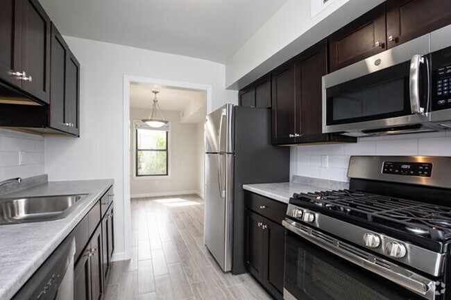
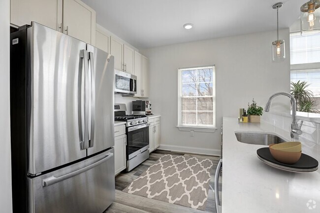
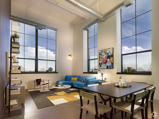
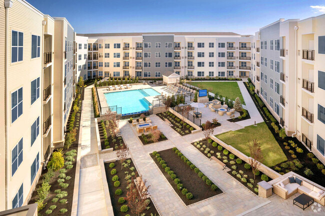
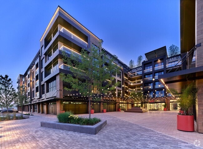
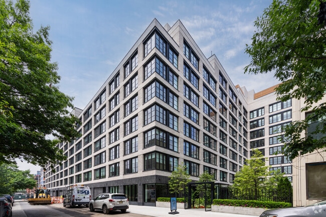
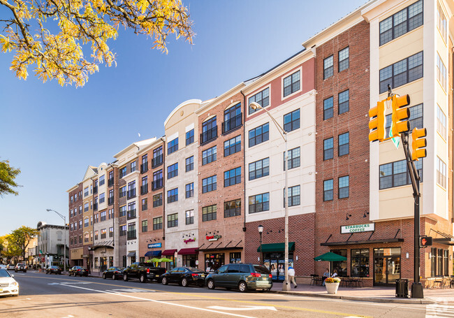
Located adjacent to the Union County Arts Center and quick walk to the Rahway train station. This two floor apartment offers two bedrooms with an extra room that can be used as an office or bedroom. One small pet is allowed. Gas, electricity, and water are the tenant's responsibility. Beautiful building with a very large-gated back yard. There is also a balcony which has access via stairs to the yard.
1659 Irving St is an apartment community located in Union County and the 07065 ZIP Code.
Apartment Features
- Washer/Dryer
- Smoke Free
- Balcony
- Washer/Dryer
- Smoke Free
- Balcony
| Colleges & Universities | Distance | ||
|---|---|---|---|
| Colleges & Universities | Distance | ||
| Drive: | 12 min | 6.1 mi | |
| Drive: | 15 min | 6.2 mi | |
| Drive: | 14 min | 7.4 mi | |
| Drive: | 17 min | 9.8 mi |
Transportation options available in Rahway include 8Th Street Light Rail Station, located 11.4 miles from 1659 Irving St. 1659 Irving St is near Newark Liberty International, located 12.3 miles or 20 minutes away, and LaGuardia, located 32.8 miles or 52 minutes away.
| Transit / Subway | Distance | ||
|---|---|---|---|
| Transit / Subway | Distance | ||
| Drive: | 19 min | 11.4 mi | |
|
|
Drive: | 21 min | 12.6 mi |
|
|
Drive: | 22 min | 13.5 mi |
| Commuter Rail | Distance | ||
|---|---|---|---|
| Commuter Rail | Distance | ||
|
|
Walk: | 7 min | 0.4 mi |
|
|
Drive: | 5 min | 2.1 mi |
|
|
Drive: | 7 min | 3.8 mi |
|
|
Drive: | 9 min | 4.1 mi |
|
|
Drive: | 10 min | 5.5 mi |
| Airports | Distance | ||
|---|---|---|---|
| Airports | Distance | ||
|
Newark Liberty International
|
Drive: | 20 min | 12.3 mi |
|
LaGuardia
|
Drive: | 52 min | 32.8 mi |
Time and distance from 1659 Irving St.
| Shopping Centers | Distance | ||
|---|---|---|---|
| Shopping Centers | Distance | ||
| Drive: | 2 min | 1.2 mi | |
| Drive: | 4 min | 1.9 mi | |
| Drive: | 5 min | 1.9 mi |
| Parks and Recreation | Distance | ||
|---|---|---|---|
| Parks and Recreation | Distance | ||
|
Hawk Rise Sanctuary
|
Drive: | 5 min | 1.9 mi |
|
Merrill Park
|
Drive: | 8 min | 3.2 mi |
|
Liberty State Park
|
Drive: | 8 min | 3.6 mi |
|
Edison Park
|
Drive: | 10 min | 5.2 mi |
|
William Miller Sperry Observatory
|
Drive: | 13 min | 6.1 mi |
| Hospitals | Distance | ||
|---|---|---|---|
| Hospitals | Distance | ||
| Drive: | 3 min | 1.2 mi | |
| Drive: | 11 min | 5.8 mi | |
| Drive: | 12 min | 6.0 mi |
| Military Bases | Distance | ||
|---|---|---|---|
| Military Bases | Distance | ||
| Drive: | 12 min | 4.5 mi | |
| Drive: | 10 min | 4.9 mi | |
| Drive: | 24 min | 15.6 mi |
You May Also Like
Similar Rentals Nearby
What Are Walk Score®, Transit Score®, and Bike Score® Ratings?
Walk Score® measures the walkability of any address. Transit Score® measures access to public transit. Bike Score® measures the bikeability of any address.
What is a Sound Score Rating?
A Sound Score Rating aggregates noise caused by vehicle traffic, airplane traffic and local sources
