
$1,600
Total Monthly Price
12 Month Lease
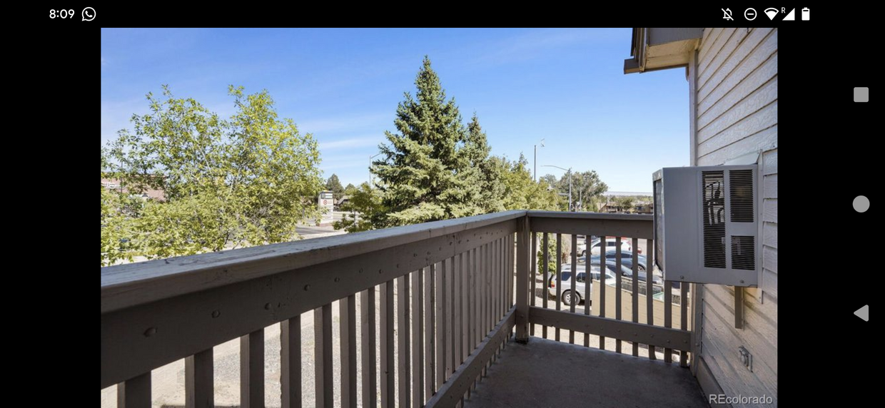
165 S Sable Blvd
Aurora, CO 80012
2 Weeks Ago
|
Edit
Favorites
165 S Sable Blvd

Favorites
Check Back Soon for Upcoming Availability
| Beds | Baths | Average SF |
|---|---|---|
| 1 Bedroom 1 Bedroom 1 Br | 1 Bath 1 Bath 1 Ba | 602 SF |
Fees and Policies
The fees below are based on community-supplied data and may exclude additional fees and utilities.
- Parking
-
Surface Lot--
Details
Utilities Included
-
Water
-
Trash Removal
-
Sewer
165 S Sable Blvd is a townhome located in Arapahoe County and the 80012 ZIP Code.
Townhome Features
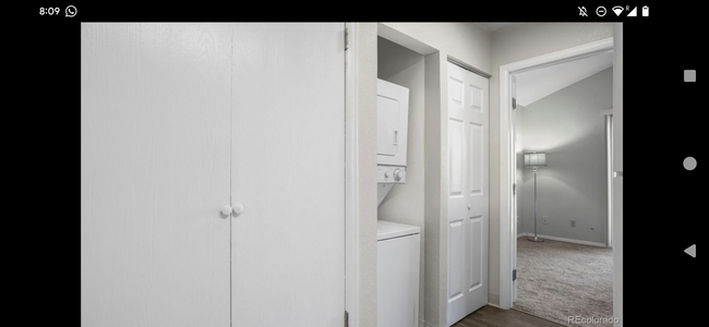
Washer/Dryer
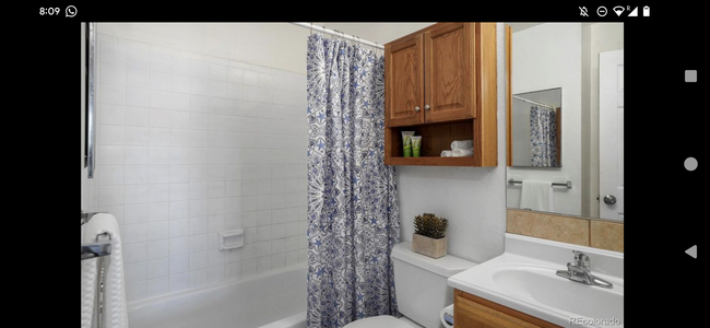
Tub/Shower
Heating
Cable Ready
- Washer/Dryer
- Heating
- Cable Ready
- Storage Space
- Tub/Shower
Location
Get Directions
As its name implies, City Center North is located directly north of City Center, which is home to Town Center at Aurora, a popular mall. Similar to its neighbor, City Center North is a commercial hub and has restaurants and shopping centers like Aurora City Play, a strip mall. The neighborhood is also home to City Center Park, which has a pond and a trail that connects to the High Line Canal Trail. Along with easy access to plenty of amenities, residents appreciate the area’s proximity to Denver. Downtown Denver is about 20 miles away. Access to Interstate 225 and Highway 30 makes traveling into Denver and beyond easy. City Center North has a variety of apartments and condos available for rent.
Learn more about living in City Center NorthBelow are rent ranges for similar nearby apartments
Amenities
- Washer/Dryer
- Heating
- Cable Ready
- Storage Space
- Tub/Shower
Expenses
Utilities Included
Water, Trash Removal, Sewer
Included
Education
| Colleges & Universities | Distance | ||
|---|---|---|---|
| Colleges & Universities | Distance | ||
| Drive: | 4 min | 2.0 mi | |
| Drive: | 6 min | 3.0 mi | |
| Drive: | 8 min | 4.3 mi | |
| Drive: | 19 min | 13.7 mi |
165 S Sable Blvd is within 4 minutes or 2.0 miles from Community College of Aurora. It is also near University of Colorado Denver and Comm. Coll. of Aurora at Lowry.
Transportation options available in Aurora include Aurora Metro Center Station, located 0.5 mile from 165 S Sable Blvd. 165 S Sable Blvd is near Denver International, located 17.6 miles or 23 minutes away.
| Transit / Subway | Distance | ||
|---|---|---|---|
| Transit / Subway | Distance | ||
| Walk: | 9 min | 0.5 mi | |
| Walk: | 12 min | 0.7 mi | |
| Drive: | 6 min | 2.0 mi | |
| Drive: | 4 min | 2.2 mi | |
| Drive: | 5 min | 2.4 mi |
| Commuter Rail | Distance | ||
|---|---|---|---|
| Commuter Rail | Distance | ||
| Drive: | 10 min | 5.9 mi | |
| Drive: | 10 min | 5.9 mi | |
| Drive: | 13 min | 6.4 mi | |
| Drive: | 14 min | 7.5 mi | |
| Drive: | 14 min | 7.5 mi |
| Airports | Distance | ||
|---|---|---|---|
| Airports | Distance | ||
|
Denver International
|
Drive: | 23 min | 17.6 mi |
Time and distance from 165 S Sable Blvd.
| Shopping Centers | Distance | ||
|---|---|---|---|
| Shopping Centers | Distance | ||
| Walk: | 4 min | 0.2 mi | |
| Walk: | 6 min | 0.3 mi | |
| Drive: | 4 min | 2.7 mi |
165 S Sable Blvd has 3 shopping centers within 2.7 miles, which is about a 4-minute drive. The miles and minutes will be for the farthest away property.
| Parks and Recreation | Distance | ||
|---|---|---|---|
| Parks and Recreation | Distance | ||
|
Del Mar Park
|
Drive: | 4 min | 2.4 mi |
|
Sand Creek Regional Greenway
|
Drive: | 7 min | 3.8 mi |
|
Morrison Nature Center
|
Drive: | 8 min | 4.1 mi |
|
Bluff Lake Nature Center
|
Drive: | 8 min | 4.7 mi |
|
Plains Conservation Center
|
Drive: | 15 min | 7.2 mi |
165 S Sable Blvd has 5 parks within 7.2 miles, including Del Mar Park, Sand Creek Regional Greenway, and Morrison Nature Center.
| Hospitals | Distance | ||
|---|---|---|---|
| Hospitals | Distance | ||
| Drive: | 5 min | 2.3 mi | |
| Drive: | 6 min | 2.7 mi | |
| Drive: | 6 min | 3.0 mi |
165 S Sable Blvd has 3 hospitals within 3.0 miles, the nearest is Aurora South Hospital and Medical Center which is 2.3 miles away and a 5 minute drive.
| Military Bases | Distance | ||
|---|---|---|---|
| Military Bases | Distance | ||
| Drive: | 27 min | 7.2 mi | |
| Drive: | 76 min | 63.1 mi | |
| Drive: | 85 min | 72.8 mi |
165 S Sable Blvd has 3 military bases within 72.8 miles, the nearest is Buckley Space Force Base which is 7.2 miles away and a 27 minute drive.
You May Also Like
Can I submit a Portable Tenant Screening Report when I apply?
Applicant has the right to provide the property manager or owner with a Portable Tenant Screening Report (PTSR) that is not more than 30 days old, as defined in § 38-12-902(2.5), Colorado Revised Statutes; and 2) if Applicant provides the property manager or owner with a PTSR, the property manager or owner is prohibited from: a) charging Applicant a rental application fee; or b) charging Applicant a fee for the property manager or owner to access or use the PTSR.
Similar Rentals Nearby


What Are Walk Score®, Transit Score®, and Bike Score® Ratings?
Walk Score® measures the walkability of any address. Transit Score® measures access to public transit. Bike Score® measures the bikeability of any address.
What is a Sound Score Rating?
A Sound Score Rating aggregates noise caused by vehicle traffic, airplane traffic and local sources
165 S Sable Blvd
Aurora, CO 80012