$3,000 / Month
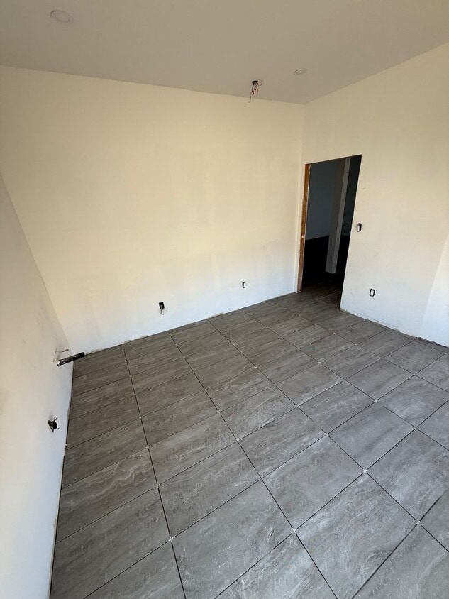
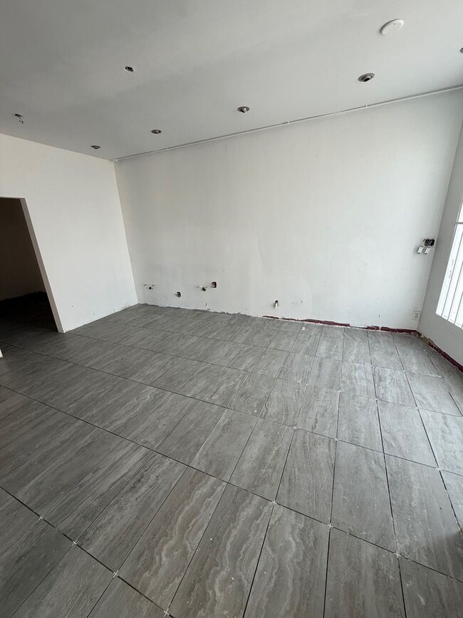
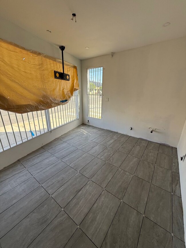
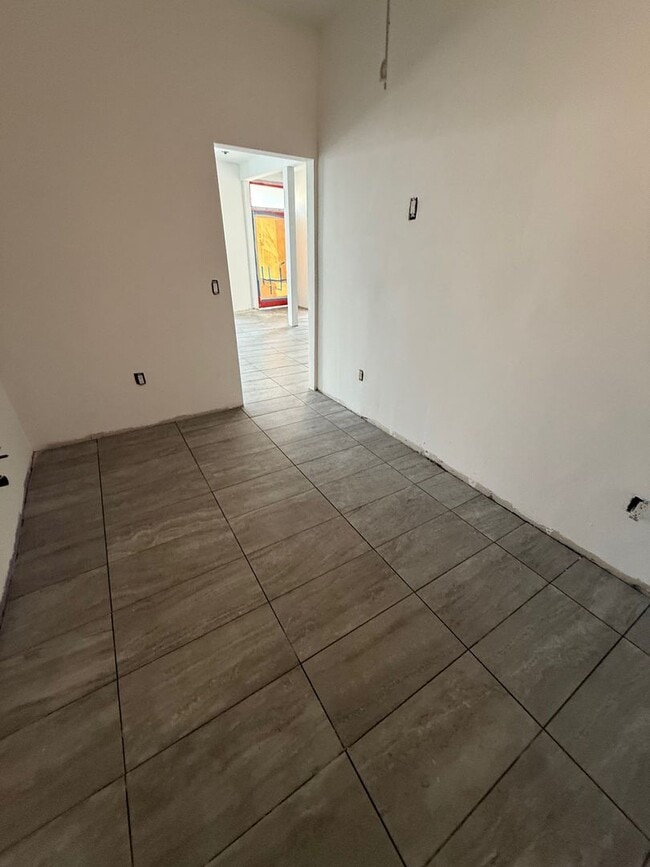
1551 La Cienega Blvd Unit 51
Los Angeles, CA 90035
Today
Favorites
310-838-1828
-
Bedrooms
Studio
-
Bathrooms
1
-
Square Feet
900 sq ft
-
Available
Available Now
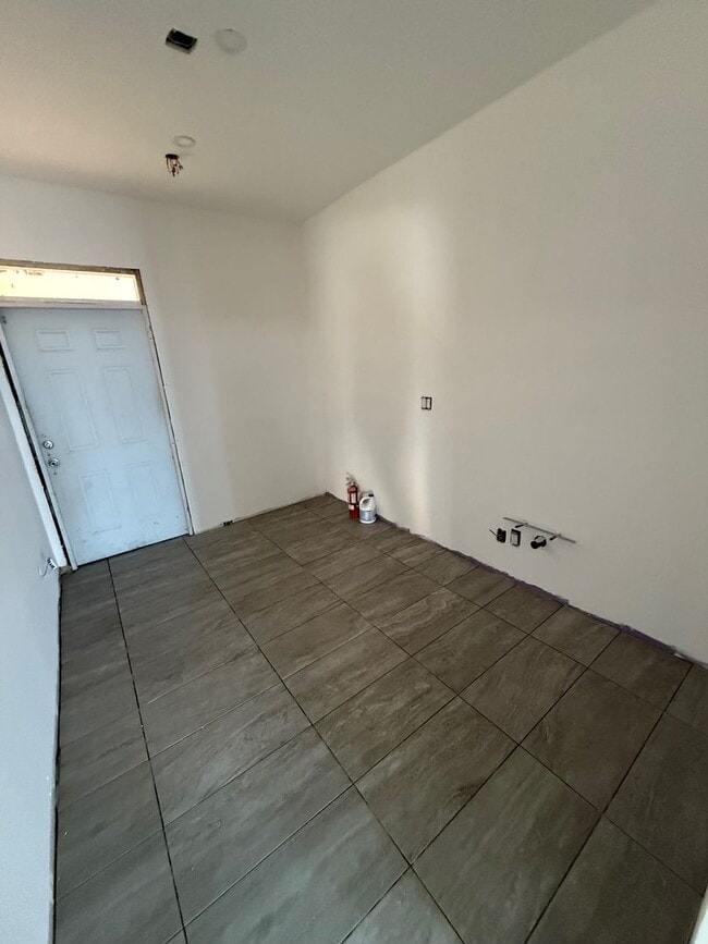
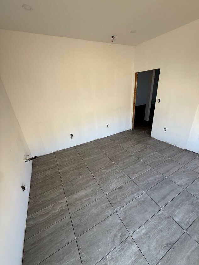
1551 La Cienega Blvd Unit 51

Favorites
Contact
- Listed by Miller & Desatnik Management | Miller & Desatnik Management
- Phone Number
- Contact
Location
Get Directions
Pico-Robertson is a popular Los Angeles neighborhood situated directly south of Beverly Hills and east of Century City. Despite its location in the heart of glittery West Los Angeles near the Miracle Mile, Beverlywood, Carthay, and Cheviot Hills, Pico-Robertson is much more low-key. You won't find trendy hotspots and wild nightlife in Pico-Robertson, but you will find a strong sense of community and a quiet setting.
Pico-Robertson offers a unique collection of delis, bakeries, and more. It is named for the intersection of Pico Boulevard and Robertson Boulevard, and that's where you'll find the majority of the neighborhood's shops, restaurants, and cafes.
Learn more about living in Pico-Robertson
Education
| Colleges & Universities | Distance | ||
|---|---|---|---|
| Colleges & Universities | Distance | ||
| Drive: | 11 min | 4.2 mi | |
| Drive: | 12 min | 6.0 mi | |
| Drive: | 12 min | 6.4 mi | |
| Drive: | 12 min | 7.4 mi |
1551 La Cienega Blvd Unit 51 is within 11 minutes or 4.2 miles from West Los Angeles College. It is also near UCLA and Musicians Institute.
Transportation options available in Los Angeles include La Cienega/Jefferson, located 1.8 miles from 1551 La Cienega Blvd Unit 51. 1551 La Cienega Blvd Unit 51 is near Los Angeles International, located 8.8 miles or 17 minutes away, and Bob Hope, located 14.3 miles or 27 minutes away.
| Transit / Subway | Distance | ||
|---|---|---|---|
| Transit / Subway | Distance | ||
|
|
Drive: | 4 min | 1.8 mi |
|
|
Drive: | 4 min | 1.8 mi |
|
|
Drive: | 4 min | 2.6 mi |
|
|
Drive: | 6 min | 3.3 mi |
|
|
Drive: | 7 min | 3.3 mi |
| Commuter Rail | Distance | ||
|---|---|---|---|
| Commuter Rail | Distance | ||
|
|
Drive: | 16 min | 10.4 mi |
|
|
Drive: | 18 min | 10.5 mi |
|
|
Drive: | 21 min | 12.0 mi |
|
|
Drive: | 24 min | 12.3 mi |
|
|
Drive: | 26 min | 13.2 mi |
| Airports | Distance | ||
|---|---|---|---|
| Airports | Distance | ||
|
Los Angeles International
|
Drive: | 17 min | 8.8 mi |
|
Bob Hope
|
Drive: | 27 min | 14.3 mi |
Time and distance from 1551 La Cienega Blvd Unit 51.
| Shopping Centers | Distance | ||
|---|---|---|---|
| Shopping Centers | Distance | ||
| Walk: | 7 min | 0.4 mi | |
| Walk: | 10 min | 0.5 mi | |
| Walk: | 12 min | 0.6 mi |
1551 La Cienega Blvd Unit 51 has 3 shopping centers within 0.6 mile, which is about a 12-minute walk. The miles and minutes will be for the farthest away property.
| Parks and Recreation | Distance | ||
|---|---|---|---|
| Parks and Recreation | Distance | ||
|
Zimmer Children's Museum
|
Drive: | 4 min | 1.7 mi |
|
La Brea Tar Pits
|
Drive: | 4 min | 2.1 mi |
|
Kenneth Hahn State Recreation Area
|
Drive: | 10 min | 3.9 mi |
|
Virginia Robinson Gardens
|
Drive: | 10 min | 4.3 mi |
|
Mathias Botanical Garden
|
Drive: | 12 min | 7.2 mi |
1551 La Cienega Blvd Unit 51 has 5 parks within 7.2 miles, including Zimmer Children's Museum, La Brea Tar Pits, and Kenneth Hahn State Recreation Area.
| Hospitals | Distance | ||
|---|---|---|---|
| Hospitals | Distance | ||
| Walk: | 16 min | 0.8 mi | |
| Drive: | 3 min | 1.6 mi | |
| Drive: | 3 min | 1.7 mi |
1551 La Cienega Blvd Unit 51 has 3 hospitals within 1.7 miles, the nearest is Kaiser Foundation Hospital - West LA which is 0.8 mile away and a 16 minute walk.
| Military Bases | Distance | ||
|---|---|---|---|
| Military Bases | Distance | ||
| Drive: | 17 min | 10.5 mi |
1551 La Cienega Blvd Unit 51 is 10.5 miles and a 17 minute drive from Los Angeles Air Force Base.
You May Also Like
Similar Rentals Nearby


 - Violet on Virgil")


What Are Walk Score®, Transit Score®, and Bike Score® Ratings?
Walk Score® measures the walkability of any address. Transit Score® measures access to public transit. Bike Score® measures the bikeability of any address.
What is a Sound Score Rating?
A Sound Score Rating aggregates noise caused by vehicle traffic, airplane traffic and local sources
1551 La Cienega Blvd
Los Angeles, CA 90035