

$3,600
Total Monthly Price
1538 N Danville St
Arlington, VA 22201
2 Weeks Ago
|
Edit
Favorites
1538 N Danville St

Favorites
Check Back Soon for Upcoming Availability
| Beds | Baths | Average SF |
|---|---|---|
| 4 Bedrooms 4 Bedrooms 4 Br | 2 Baths 2 Baths 2 Ba | — |
About This Property
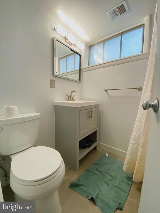
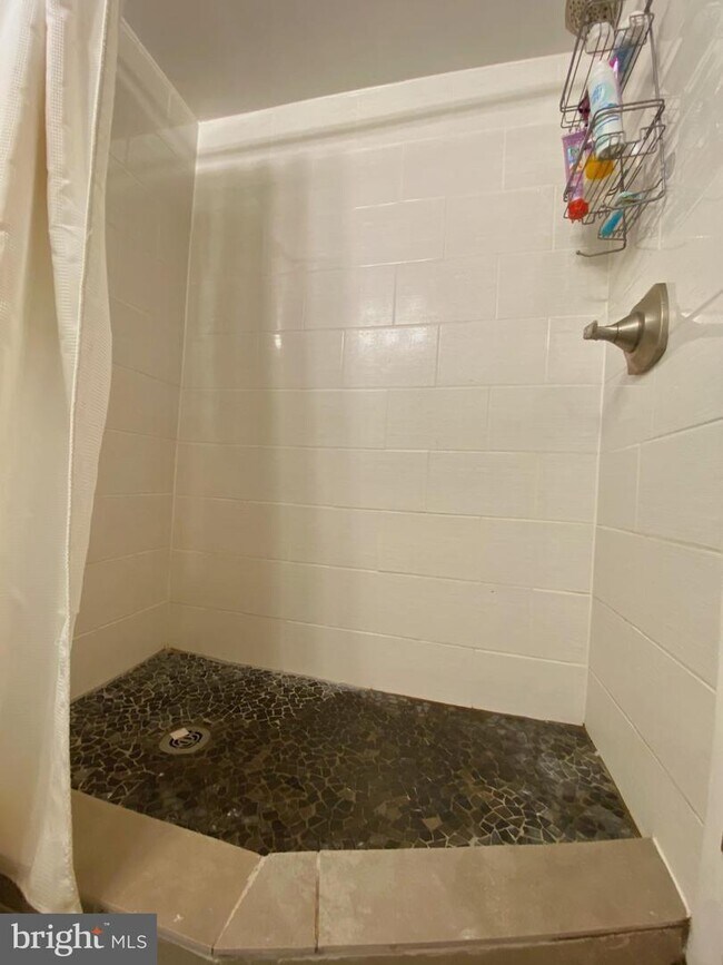
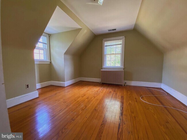
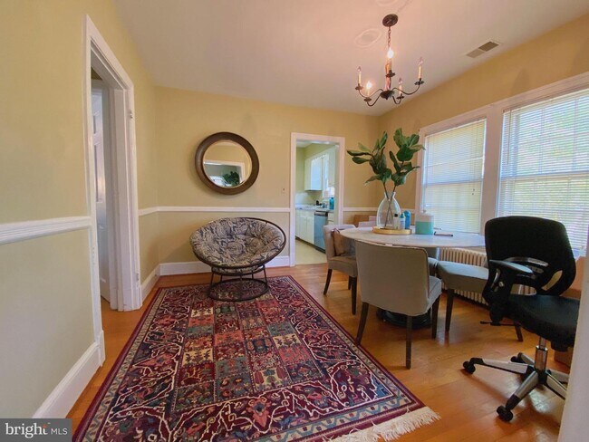
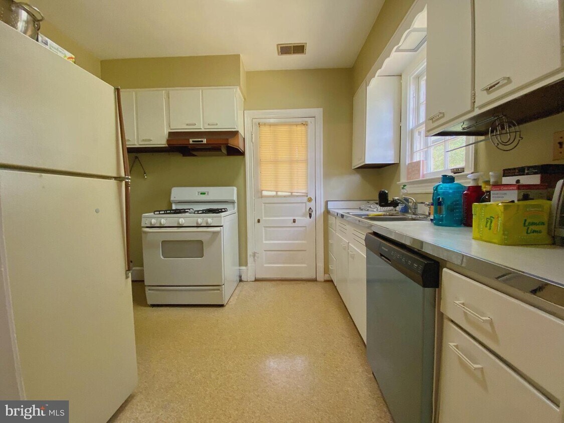
Unique 4 BD, 2 BA house in Lyon Village , offers a light-filled interior full of timeless charm. Step inside to classic hardwood flooring, exposed brick accents, and elegant crown molding, and a wonderful backyard--it's a great spot to kick back and relax. This home seats on a unique location and you'll be a short walk from Trader Joe's and Whole Foods for groceries, and Target is only a few blocks up the road. It's very easy to get around with access to the Orange/Silver Line and Highway 66 nearby. Walking distance to tons of noteworthy eateries in the area--try out Four Sisters Grill, Bakeshop, or Delhi Club! Other Amenities: Appliances: Dishwasher, Air Conditioning, Refrigerator, Range, Oven, Microwave.
1538 N Danville St is a house located in Arlington County and the 22201 ZIP Code. This area is served by the Arlington County Public Schools attendance zone.
House Features
- Fireplace
- Basement
Location
Get Directions
Lyon Village lies about five miles west of Washington DC, in Virginia’s Arlington County. The urban village is known for elaborate architectural details on buildings and Victorian homes alongside charming bungalows. People move to the area for its convenient commute without having to live within the city limits. A tight-knit atmosphere and community attracts professionals and families, with many residents commuting into DC. The area is relatively quiet and has a small-town feel but remains close to the buzz of the city. The residential area sits tucked between other amenity-rich neighborhoods, such as Clarendon, which helps locals meet all their needs without having to leave their homey haven.
Learn more about living in Lyon VillageBelow are rent ranges for similar nearby apartments
Amenities
- Fireplace
- Basement
Education
| Colleges & Universities | Distance | ||
|---|---|---|---|
| Colleges & Universities | Distance | ||
| Walk: | 15 min | 0.8 mi | |
| Drive: | 7 min | 2.7 mi | |
| Drive: | 8 min | 2.8 mi | |
| Drive: | 9 min | 3.6 mi |
1538 N Danville St is within 15 minutes or 0.8 mile from George Mason Univ., Arlington. It is also near Georgetown University and Marymount University.
Schools


Public Elementary School
Grades PK-5
470 Students
Attendance Zone
Public Middle School
Grades 6-8
1,053 Students
Nearby
Public High School
Grades 9-12
2,715 Students
Attendance Zone
Private Elementary, Middle & High School
Grades 1-12
378 Students
Nearby
Private Elementary & Middle School
Grades PK-8
467 Students
Nearby
School data provided by
 The GreatSchools Rating helps parents compare schools within a state based on a variety of school quality indicators and provides a helpful picture of how effectively each school serves all of its students. Ratings are on a scale of 1 (below average) to 10 (above average) and can include test scores, college readiness, academic progress, advanced courses, equity, discipline and attendance data. We also advise parents to visit schools, consider other information on school performance and programs, and consider family needs as part of the school selection process.
View GreatSchools Rating Methodology
Data provided by GreatSchools.org © 2025. All rights reserved.
View GreatSchools Rating Methodology
Data provided by GreatSchools.org © 2025. All rights reserved.
Transportation options available in Arlington include Court House, Orange,Silver Line Center Platform, located 0.3 mile from 1538 N Danville St. 1538 N Danville St is near Ronald Reagan Washington Ntl, located 6.1 miles or 13 minutes away, and Washington Dulles International, located 23.7 miles or 38 minutes away.
| Transit / Subway | Distance | ||
|---|---|---|---|
| Transit / Subway | Distance | ||
| Walk: | 5 min | 0.3 mi | |
|
|
Walk: | 7 min | 0.4 mi |
|
|
Walk: | 17 min | 0.9 mi |
|
|
Drive: | 4 min | 1.4 mi |
|
|
Drive: | 4 min | 1.5 mi |
| Commuter Rail | Distance | ||
|---|---|---|---|
| Commuter Rail | Distance | ||
|
|
Drive: | 9 min | 4.1 mi |
|
|
Drive: | 11 min | 4.9 mi |
|
|
Drive: | 11 min | 4.9 mi |
|
|
Drive: | 11 min | 5.5 mi |
|
|
Drive: | 12 min | 5.7 mi |
| Airports | Distance | ||
|---|---|---|---|
| Airports | Distance | ||
|
Ronald Reagan Washington Ntl
|
Drive: | 13 min | 6.1 mi |
|
Washington Dulles International
|
Drive: | 38 min | 23.7 mi |
Time and distance from 1538 N Danville St.
| Shopping Centers | Distance | ||
|---|---|---|---|
| Shopping Centers | Distance | ||
| Walk: | 5 min | 0.3 mi | |
| Walk: | 11 min | 0.6 mi | |
| Walk: | 15 min | 0.8 mi |
1538 N Danville St has 3 shopping centers within 0.8 mile, which is about a 15-minute walk. The miles and minutes will be for the farthest away property.
| Parks and Recreation | Distance | ||
|---|---|---|---|
| Parks and Recreation | Distance | ||
|
Fort Bennett Park and Palisades Trail
|
Walk: | 19 min | 1.0 mi |
|
Fort C.F. Smith Park & Historic Site
|
Drive: | 4 min | 1.3 mi |
|
David M. Brown Planetarium
|
Drive: | 4 min | 1.4 mi |
|
Cherry Valley Park
|
Drive: | 4 min | 1.6 mi |
|
Theodore Roosevelt Island Park
|
Drive: | 9 min | 4.4 mi |
1538 N Danville St has 5 parks within 4.4 miles, including Fort Bennett Park and Palisades Trail, David M. Brown Planetarium, and Cherry Valley Park.
| Hospitals | Distance | ||
|---|---|---|---|
| Hospitals | Distance | ||
| Drive: | 5 min | 2.0 mi | |
| Drive: | 6 min | 2.4 mi | |
| Drive: | 8 min | 2.9 mi |
1538 N Danville St has 3 hospitals within 2.9 miles, the nearest is Capital Hospice which is 2.0 miles away and a 5 minute drive.
| Military Bases | Distance | ||
|---|---|---|---|
| Military Bases | Distance | ||
| Drive: | 7 min | 2.4 mi |
1538 N Danville St is 2.4 miles and a 7 minute drive from Fort Myer.
You May Also Like
Similar Rentals Nearby


What Are Walk Score®, Transit Score®, and Bike Score® Ratings?
Walk Score® measures the walkability of any address. Transit Score® measures access to public transit. Bike Score® measures the bikeability of any address.
What is a Sound Score Rating?
A Sound Score Rating aggregates noise caused by vehicle traffic, airplane traffic and local sources
1538 N Danville St
Arlington, VA 22201