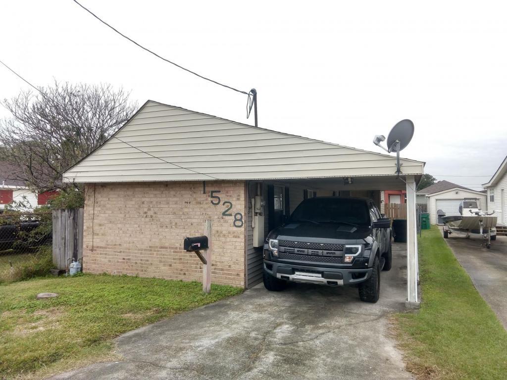
1528 Avenue A
Marrero, LA 70072

Check Back Soon for Upcoming Availability
| Beds | Baths | Average SF |
|---|---|---|
| 3 Bedrooms 3 Bedrooms 3 Br | 1.5 Baths 1.5 Baths 1.5 Ba | 1,000 SF |
About This Property
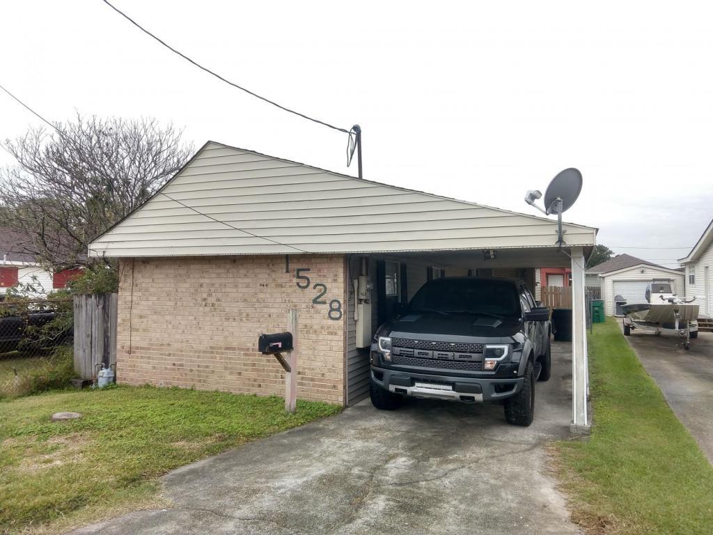
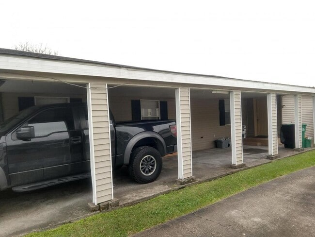
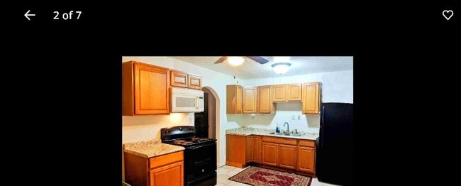
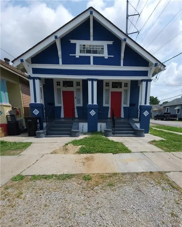
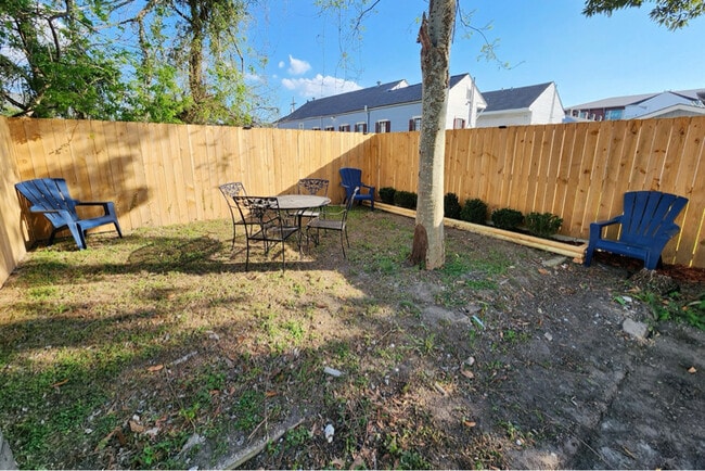
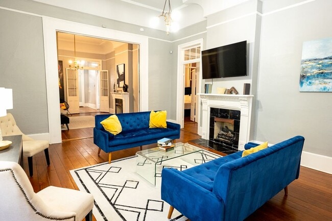
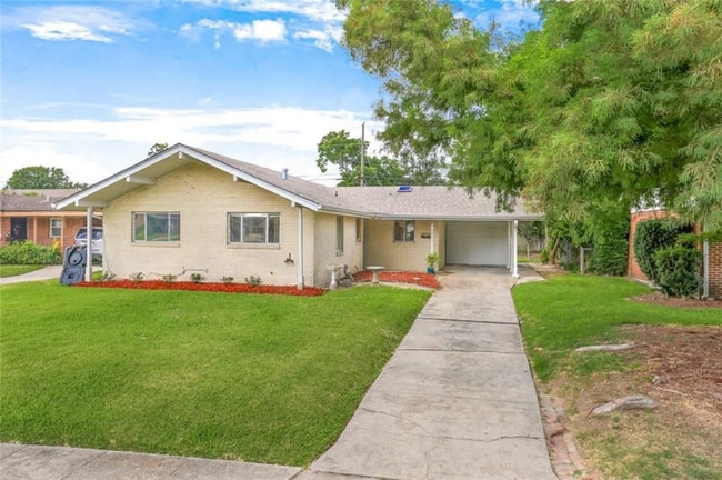
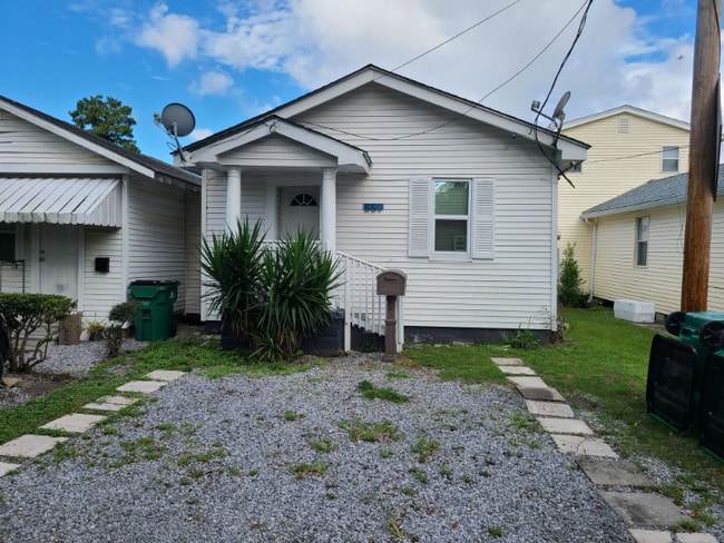
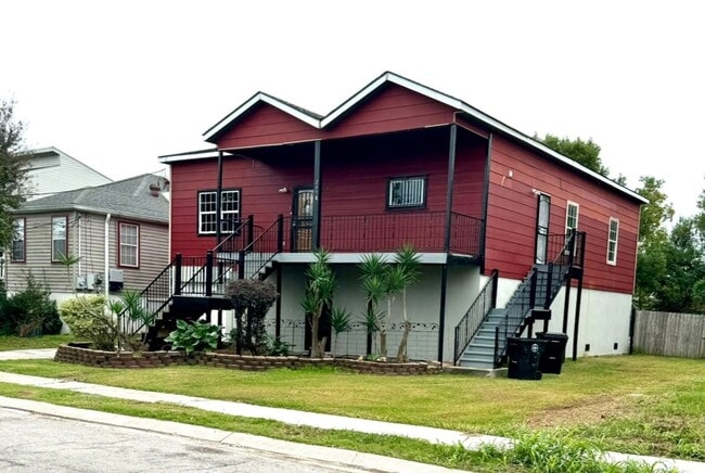
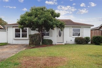
Esta es una casa en Marrero, cerca de las escuelas secundarias Archbishop Shaw y John Ehret, tiendas, bancos y restaurantes. La casa principal tiene 2 dormitorios, 1.5 baños, una cocina abierta a la sala de estar, lavandería y una mini casa adicional o un tercer dormitorio en la parte trasera con electricidad, aire acondicionado y calefacción. El total de dormitorios netos efectivos es de 3 si se incluye la mini casa. La cochera tiene capacidad para una camioneta con espacio adicional para un auto más pequeño detrás. La casa está reservada para los mejores solicitantes. Los ingresos deben ser 3 veces el alquiler. Solo se aceptan inquilinos en efectivo. Si su crédito es bajo, necesitará un depósito más alto. NO se admiten mascotas. El cuidado del césped lo puede hacer usted mismo. Usted paga la luz y el agua. ¿De verdad está solicitando? ¿Cuál es su trabajo, FICO, ingresos mensuales, número de ocupantes, fecha de mudanza? Si responde las preguntas e incluye la palabra clave "RATTLER", entonces sé que leyó el anuncio.
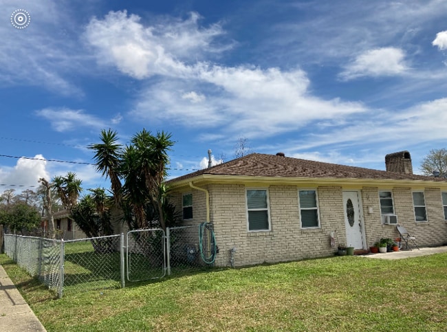
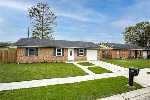
1528 Avenue A is a house located in Jefferson County and the 70072 ZIP Code. This area is served by the Jefferson Parish attendance zone.
The Westbank area of Gretna encompasses the geographical area to the west and also to the south of the Mississippi River, including Jefferson Parish, and a portion of Orleans Parish. Residents enjoy the close proximity to nature while having easy access to Downtown New Orleans. Take a stroll through Westbank hub and you’ll find plenty of down-home restaurants serving up Creole staples. Old Downtown has been revived here, with historic buildings newly preserved.
The apartment offerings are as diverse as the residents. You’ll find low-lying apartment communities and charming single-family homes for rent. U.S. Highway 90 cuts through the area, making commuting into New Orleans a breeze.
Learn more about living in WestbankBelow are rent ranges for similar nearby apartments
| Colleges & Universities | Distance | ||
|---|---|---|---|
| Colleges & Universities | Distance | ||
| Drive: | 15 min | 10.2 mi | |
| Drive: | 22 min | 12.4 mi | |
| Drive: | 23 min | 12.9 mi | |
| Drive: | 25 min | 13.1 mi |
 The GreatSchools Rating helps parents compare schools within a state based on a variety of school quality indicators and provides a helpful picture of how effectively each school serves all of its students. Ratings are on a scale of 1 (below average) to 10 (above average) and can include test scores, college readiness, academic progress, advanced courses, equity, discipline and attendance data. We also advise parents to visit schools, consider other information on school performance and programs, and consider family needs as part of the school selection process.
View GreatSchools Rating Methodology
Data provided by GreatSchools.org © 2026. All rights reserved.
Transportation options available in Marrero include St Charles And Foucher, located 10.9 miles from 1528 Avenue A. 1528 Avenue A is near Louis Armstrong New Orleans International, located 19.4 miles or 33 minutes away.
| Transit / Subway | Distance | ||
|---|---|---|---|
| Transit / Subway | Distance | ||
|
|
Drive: | 18 min | 10.9 mi |
|
|
Drive: | 18 min | 11.0 mi |
|
|
Drive: | 19 min | 11.3 mi |
|
|
Drive: | 19 min | 11.3 mi |
|
|
Drive: | 20 min | 11.8 mi |
| Commuter Rail | Distance | ||
|---|---|---|---|
| Commuter Rail | Distance | ||
|
|
Drive: | 15 min | 9.3 mi |
|
|
Drive: | 52 min | 41.7 mi |
| Airports | Distance | ||
|---|---|---|---|
| Airports | Distance | ||
|
Louis Armstrong New Orleans International
|
Drive: | 33 min | 19.4 mi |
Time and distance from 1528 Avenue A.
| Shopping Centers | Distance | ||
|---|---|---|---|
| Shopping Centers | Distance | ||
| Drive: | 3 min | 1.1 mi | |
| Drive: | 4 min | 1.3 mi | |
| Drive: | 3 min | 1.5 mi |
| Parks and Recreation | Distance | ||
|---|---|---|---|
| Parks and Recreation | Distance | ||
|
Jean Lafitte National Historical Park
|
Drive: | 10 min | 4.6 mi |
|
Bayou Segnette State Park
|
Drive: | 11 min | 5.4 mi |
|
Louisiana Children's Museum
|
Drive: | 15 min | 9.1 mi |
|
Audubon Zoo
|
Drive: | 25 min | 13.3 mi |
|
Audubon Insectarium
|
Drive: | 24 min | 13.5 mi |
| Hospitals | Distance | ||
|---|---|---|---|
| Hospitals | Distance | ||
| Walk: | 14 min | 0.8 mi | |
| Drive: | 15 min | 9.7 mi | |
| Drive: | 18 min | 11.1 mi |
| Military Bases | Distance | ||
|---|---|---|---|
| Military Bases | Distance | ||
| Drive: | 14 min | 7.8 mi | |
| Drive: | 23 min | 12.2 mi |
You May Also Like
Similar Rentals Nearby
What Are Walk Score®, Transit Score®, and Bike Score® Ratings?
Walk Score® measures the walkability of any address. Transit Score® measures access to public transit. Bike Score® measures the bikeability of any address.
What is a Sound Score Rating?
A Sound Score Rating aggregates noise caused by vehicle traffic, airplane traffic and local sources
