

151 Centre St
Boston, MA 02119
-
Bedrooms
3
-
Bathrooms
1
-
Square Feet
9,999 sq ft
-
Available
Available Now
Highlight
- Pets Allowed

2 Available Units
Fees and Policies
The fees listed below are community-provided and may exclude utilities or add-ons. All payments are made directly to the property and are non-refundable unless otherwise specified.
- One-Time Move-In Fees
-
Broker Fee$0
- Dogs Allowed
-
Fees not specified
- Cats Allowed
-
Fees not specified
Details
Property Information
-
2 units
Contact
- Listed by Serhat Ozcicek
- Phone Number
- Contact
Twenty minutes southwest of downtown Boston sits Highland Park, a primarily- residential neighborhood full of beautiful historic homes and apartments along tree-lined streets. The community features over a dozen parks and public green spaces, giving all residents easy access to trails, playgrounds, and historic sites wherever they may live.
The local dining scene is quite unique, with several African and Middle Eastern restaurants and cafes around the neighborhood. MBTA rail service on the west side of the neighborhood makes it easy for folks to get around the city for or leisure.
Learn more about living in Highland Park| Colleges & Universities | Distance | ||
|---|---|---|---|
| Colleges & Universities | Distance | ||
| Walk: | 18 min | 0.9 mi | |
| Drive: | 2 min | 1.4 mi | |
| Drive: | 3 min | 1.5 mi | |
| Drive: | 5 min | 2.2 mi |


View GreatSchools Rating Methodology
Data provided by GreatSchools.org © 2026. All rights reserved.
Transportation options available in Boston include Jackson Square Station, located 0.3 mile from 151 Centre St. 151 Centre St is near General Edward Lawrence Logan International, located 6.8 miles or 13 minutes away.
| Transit / Subway | Distance | ||
|---|---|---|---|
| Transit / Subway | Distance | ||
|
|
Walk: | 6 min | 0.3 mi |
|
|
Walk: | 7 min | 0.4 mi |
|
|
Walk: | 18 min | 1.0 mi |
|
|
Drive: | 2 min | 1.1 mi |
|
|
Drive: | 3 min | 1.7 mi |
| Commuter Rail | Distance | ||
|---|---|---|---|
| Commuter Rail | Distance | ||
|
|
Drive: | 3 min | 1.5 mi |
| Drive: | 4 min | 2.2 mi | |
|
|
Drive: | 4 min | 2.2 mi |
| Drive: | 6 min | 2.6 mi | |
|
|
Drive: | 10 min | 5.3 mi |
| Airports | Distance | ||
|---|---|---|---|
| Airports | Distance | ||
|
General Edward Lawrence Logan International
|
Drive: | 13 min | 6.8 mi |
Scores provided by
Traffic
BusyAirport
CalmBusinesses
ActiveScores provided by
HowLoud What is a Sound Score Rating? A Sound Score Rating aggregates noise caused by vehicle traffic, airplane traffic and local sources. How It WorksTime and distance from 151 Centre St.
| Shopping Centers | Distance | ||
|---|---|---|---|
| Shopping Centers | Distance | ||
| Walk: | 10 min | 0.6 mi | |
| Walk: | 16 min | 0.9 mi | |
| Walk: | 16 min | 0.9 mi |
| Parks and Recreation | Distance | ||
|---|---|---|---|
| Parks and Recreation | Distance | ||
|
Roxbury Heritage State Park
|
Walk: | 10 min | 0.5 mi |
|
Franklin Park Zoo
|
Drive: | 4 min | 2.0 mi |
|
Lower Neponset River Trail
|
Drive: | 4 min | 2.2 mi |
|
Charles River Reservation
|
Drive: | 5 min | 2.6 mi |
|
Frederick Law Olmsted National Historic Site
|
Drive: | 6 min | 2.6 mi |
| Hospitals | Distance | ||
|---|---|---|---|
| Hospitals | Distance | ||
| Walk: | 18 min | 0.9 mi | |
| Drive: | 3 min | 1.2 mi | |
| Drive: | 3 min | 1.7 mi |
| Military Bases | Distance | ||
|---|---|---|---|
| Military Bases | Distance | ||
| Drive: | 29 min | 15.6 mi | |
| Drive: | 31 min | 16.2 mi | |
| Drive: | 38 min | 23.1 mi |
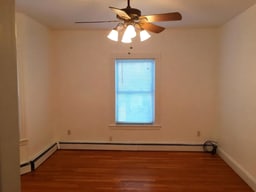
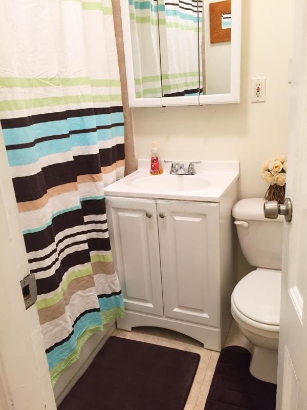
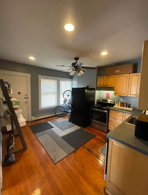
151 Centre St Photos
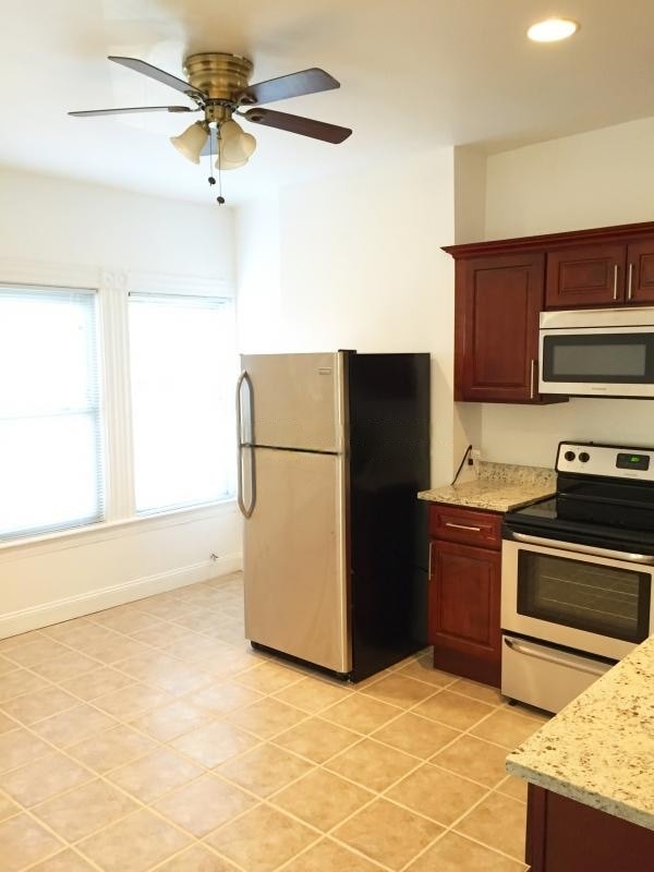
151 Centre St
Boston, MA 02119