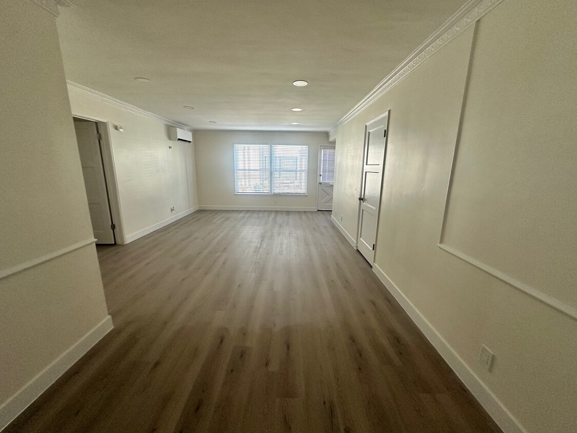
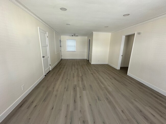
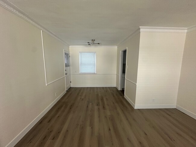


2 Beds
$4,611+
Total Monthly Price
12 Month Lease
Total Monthly Price
New
Prices include base rent and required monthly fees of $15. Variable costs based on usage may apply.
Base Rent:
2 Beds
$4,595+
1 Month Free
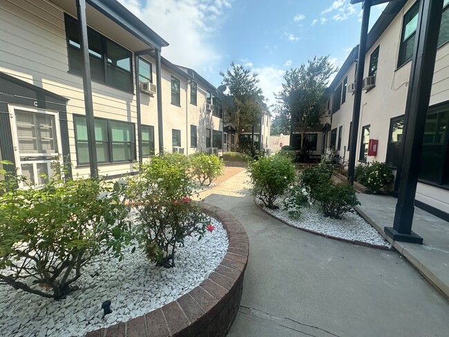
Pets Allowed Fitness Center Pool Maintenance on site High-Speed Internet Controlled Access