
$1,690 / Month
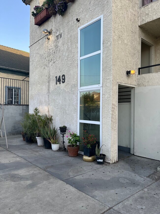
149 N Avenue 25 Unit 207
Los Angeles, CA 90031
2 Weeks Ago
Favorites
149 N Avenue 25 Unit 207

Favorites
Check Back Soon for Upcoming Availability
| Beds | Baths | Average SF |
|---|---|---|
| 1 Bedroom 1 Bedroom 1 Br | 1 Bath 1 Bath 1 Ba | 650 SF |
Fees and Policies
The fees below are based on community-supplied data and may exclude additional fees and utilities.
- Parking
-
Garage--
Details
Utilities Included
-
Water
-
Trash Removal
-
Sewer
Property Information
-
17 units
About This Property
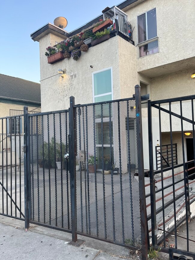
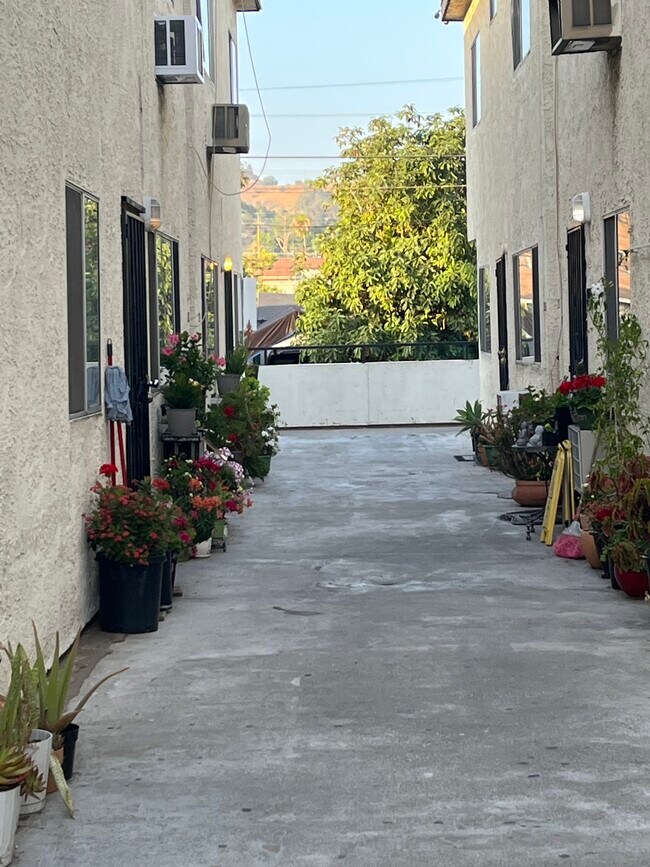
The gated apartment complex located at 149 N. Avenue 25, Los Angeles, CA 90031, known as Lincoln Hights area, closed to Down Town LA / China Town, USC medical center, walking distance to shops, bus, restaurants, banks, easy access to 5/10/110 Freeway. Newer building, gated small complex, newly remolded, hardwood floor, granite counter top, one underground parking spaces included. total 17 units, quiet, clean and safe. 1 bedroom + 1 bath, nice floor plan with good size rooms, Only one unit available upstairs, renting for $1690/month. Please call or text manager for showing.
149 N Avenue 25 is an apartment community located in Los Angeles County and the 90031 ZIP Code.
Apartment Features
Air Conditioning
Hardwood Floors
Granite Countertops
Smoke Free
- Air Conditioning
- Smoke Free
- Granite Countertops
- Hardwood Floors
- Laundry Facilities
- Gated
Location
Get Directions
Situated in northeast Los Angeles, just four miles from downtown, Montecito Heights sits atop a hilly landscape separating LA from the San Gabriel Valley. From the neighborhood’s steep hills, you can catch stunning views of downtown and the San Gabriel Valley in addition to the Arroyo Seco and even the Pacific Ocean (on a clear day).
Montecito Heights is known for its secluded feel despite being minutes away from Downtown LA. Natural beauty and lush parks abound in Montecito Heights. Ernest E. Debs Regional Park is one of the neighborhood’s defining features, touting 300 acres of scenic hiking trails, biking paths, picnic tables, a peaceful pond, and the striking panoramic views the neighborhood is revered for.
Montecito Heights is also home to the Heritage Square Museum, a living history museum that details life in 19th-century Southern California.
Learn more about living in Montecito HeightsBelow are rent ranges for similar nearby apartments
| Beds | Average Size | Lowest | Typical | Premium |
|---|---|---|---|---|
| Studio Studio Studio | 515-527 Sq Ft | $1,250 | $2,225 | $2,765 |
| 1 Bed 1 Bed 1 Bed | 802-812 Sq Ft | $2,000 | $2,922 | $5,800 |
| 2 Beds 2 Beds 2 Beds | 1035-1042 Sq Ft | $1,950 | $3,699 | $4,380 |
| 3 Beds 3 Beds 3 Beds | 1062 Sq Ft | $3,200 | $3,616 | $4,600 |
| 4 Beds 4 Beds 4 Beds | 754 Sq Ft | $1,000 | $2,201 | $4,200 |
Amenities
- Air Conditioning
- Smoke Free
- Granite Countertops
- Hardwood Floors
- Laundry Facilities
- Gated
Expenses
Utilities Included
Water, Trash Removal, Sewer
Included
Education
| Colleges & Universities | Distance | ||
|---|---|---|---|
| Colleges & Universities | Distance | ||
| Drive: | 4 min | 1.7 mi | |
| Drive: | 7 min | 4.0 mi | |
| Drive: | 7 min | 4.4 mi | |
| Drive: | 9 min | 4.6 mi |
149 N Avenue 25 Unit 207 is within 4 minutes or 1.7 miles from USC, Health Sciences Campus. It is also near Golden Gate Univ, Los Angeles and The Fashion Institute.
Transportation options available in Los Angeles include Lincoln Heights/Cypress Park Station, located 0.4 mile from 149 N Avenue 25 Unit 207. 149 N Avenue 25 Unit 207 is near Bob Hope, located 15.1 miles or 21 minutes away, and Los Angeles International, located 18.1 miles or 29 minutes away.
| Transit / Subway | Distance | ||
|---|---|---|---|
| Transit / Subway | Distance | ||
|
|
Walk: | 7 min | 0.4 mi |
|
|
Walk: | 19 min | 1.0 mi |
|
|
Drive: | 4 min | 1.6 mi |
|
|
Drive: | 4 min | 1.8 mi |
|
|
Drive: | 7 min | 2.2 mi |
| Commuter Rail | Distance | ||
|---|---|---|---|
| Commuter Rail | Distance | ||
|
|
Drive: | 6 min | 2.2 mi |
|
|
Drive: | 7 min | 2.2 mi |
|
|
Drive: | 7 min | 4.3 mi |
| Drive: | 9 min | 6.3 mi | |
|
|
Drive: | 16 min | 10.4 mi |
| Airports | Distance | ||
|---|---|---|---|
| Airports | Distance | ||
|
Bob Hope
|
Drive: | 21 min | 15.1 mi |
|
Los Angeles International
|
Drive: | 29 min | 18.1 mi |
Time and distance from 149 N Avenue 25 Unit 207.
| Shopping Centers | Distance | ||
|---|---|---|---|
| Shopping Centers | Distance | ||
| Walk: | 1 min | 0.1 mi | |
| Walk: | 1 min | 0.1 mi | |
| Walk: | 3 min | 0.2 mi |
149 N Avenue 25 Unit 207 has 3 shopping centers within 0.2 mile, which is about a 3-minute walk. The miles and minutes will be for the farthest away property.
| Parks and Recreation | Distance | ||
|---|---|---|---|
| Parks and Recreation | Distance | ||
|
Audubon Center at Debs Park
|
Drive: | 4 min | 2.2 mi |
|
Chavez Ravine Arboretum
|
Drive: | 5 min | 2.8 mi |
|
Elysian Park
|
Drive: | 8 min | 2.8 mi |
|
Elyria Canyon Park
|
Drive: | 6 min | 3.0 mi |
|
Echo Park Lake
|
Drive: | 6 min | 3.6 mi |
149 N Avenue 25 Unit 207 has 5 parks within 3.6 miles, including Audubon Center at Debs Park, Elysian Park, and Elyria Canyon Park.
| Hospitals | Distance | ||
|---|---|---|---|
| Hospitals | Distance | ||
| Drive: | 4 min | 1.7 mi | |
| Drive: | 4 min | 1.9 mi | |
| Drive: | 7 min | 3.5 mi |
149 N Avenue 25 Unit 207 has 3 hospitals within 3.5 miles, the nearest is LAC + USC Medical Center which is 1.7 miles away and a 4 minute drive.
| Military Bases | Distance | ||
|---|---|---|---|
| Military Bases | Distance | ||
| Drive: | 26 min | 19.7 mi |
149 N Avenue 25 Unit 207 is 19.7 miles and a 26 minute drive from Los Angeles Air Force Base.
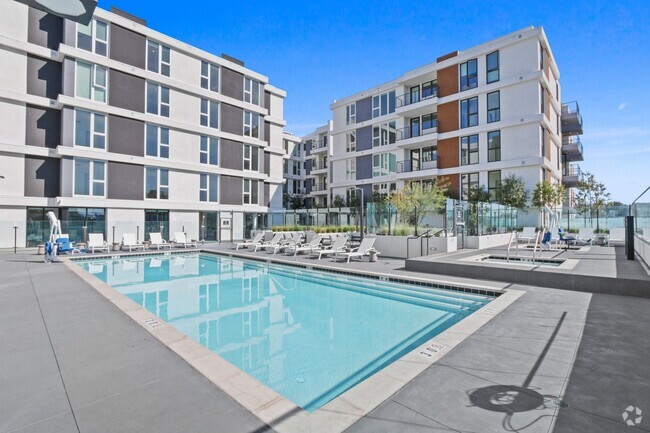
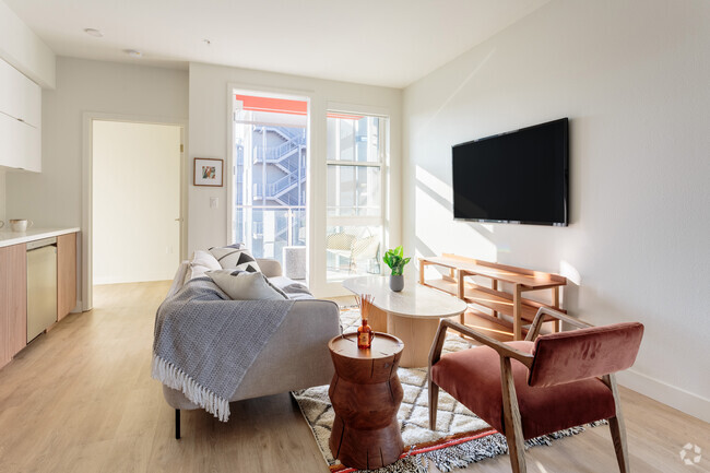
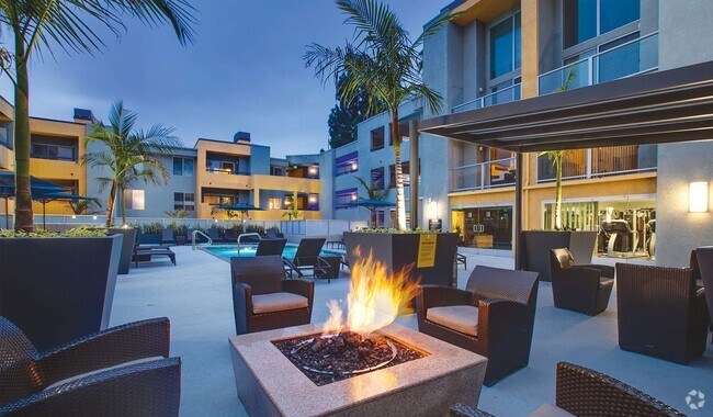
You May Also Like
Similar Rentals Nearby


What Are Walk Score®, Transit Score®, and Bike Score® Ratings?
Walk Score® measures the walkability of any address. Transit Score® measures access to public transit. Bike Score® measures the bikeability of any address.
What is a Sound Score Rating?
A Sound Score Rating aggregates noise caused by vehicle traffic, airplane traffic and local sources
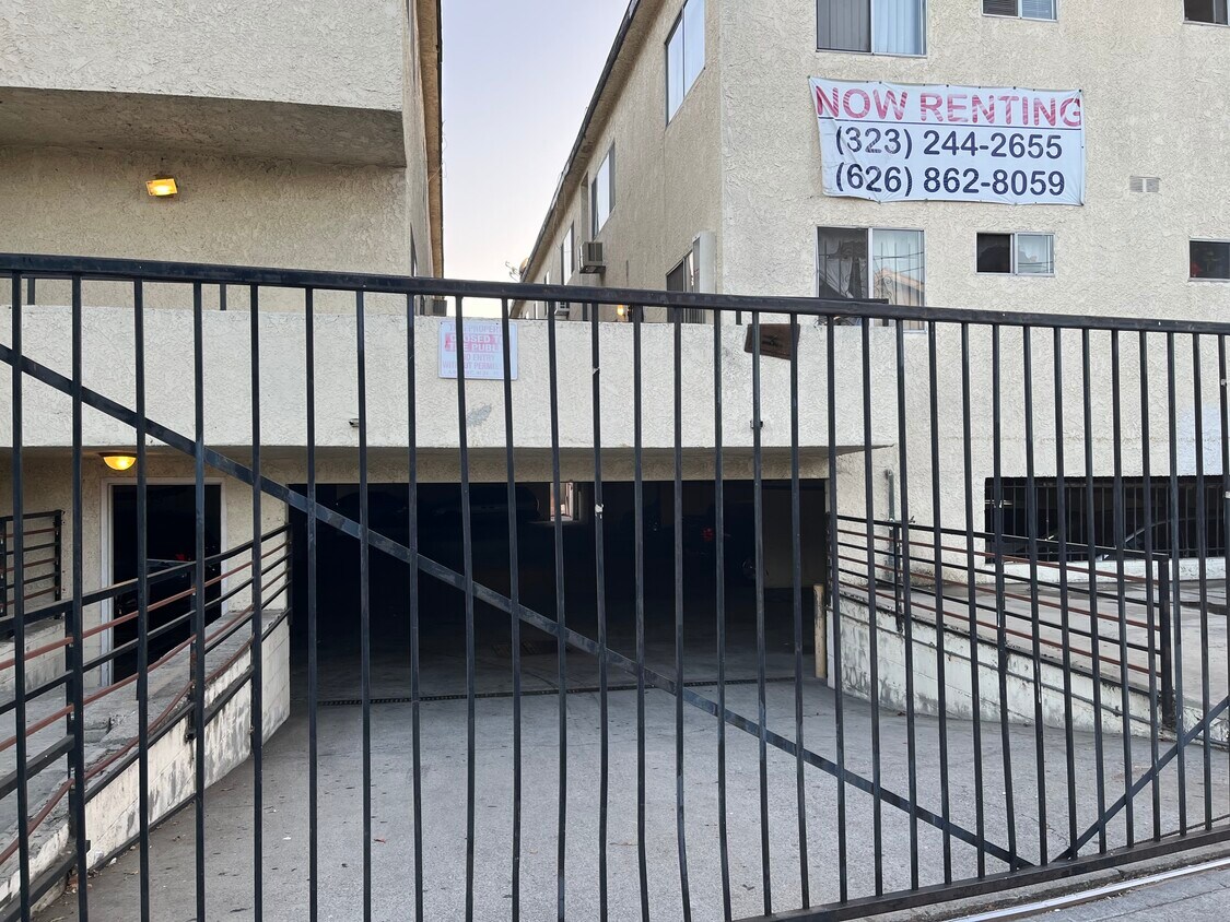
149 N Avenue 25
Los Angeles, CA 90031