
LiveWell Apartments
550 Wood St,
Pittsburgh, PA 15222
Studio - 3 Beds $1,718 - $4,370

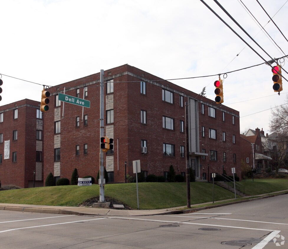
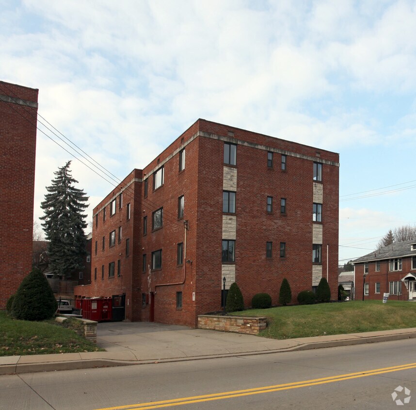
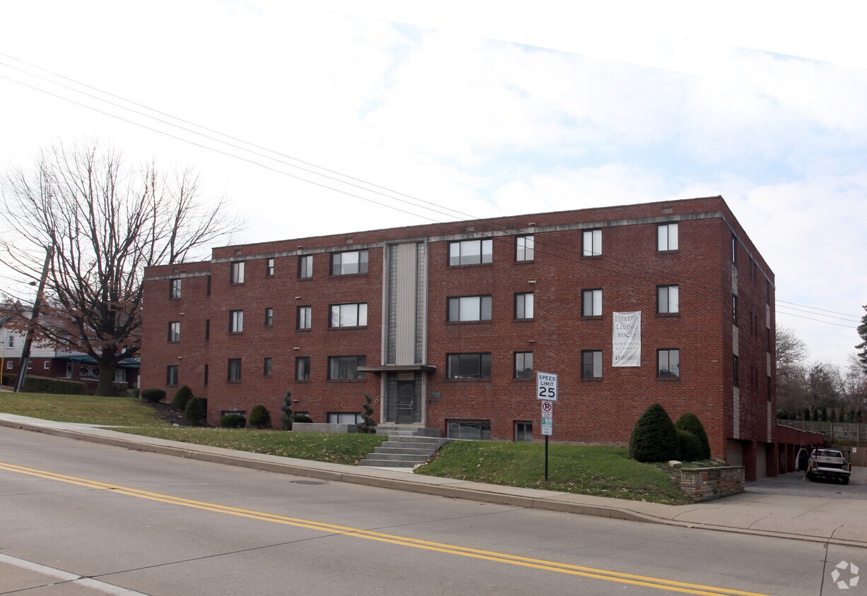

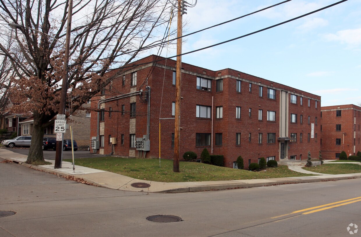
Experience Pittsburgh living at 1465 Mcfarland Rd. This community is located in the Mount Lebanon area of Pittsburgh. The professional leasing team is ready for you to come see our property. Experience a new standard at 1465 Mcfarland Rd.
1465 Mcfarland Rd is an apartment community located in Allegheny County and the 15216 ZIP Code. This area is served by the Mt Lebanon attendance zone.
Known for rugged hills and rolling countryside mixed with developed areas called boroughs, the southern portion of Allegheny County remains a beautiful compliment to nearby city life in Pittsburgh. Located about 14 miles southeast of Pittsburgh, it takes about an hour to reach the city's center. One of Pennsylvania’s largest areas, South Allegheny consists of several towns and suburbs set in an idyllic landscape. Great destinations include historic Kennywood Park, which first opened in 1899 and is listed on the National Register of Historic Places.
Learn more about living in South Allegheny| Colleges & Universities | Distance | ||
|---|---|---|---|
| Colleges & Universities | Distance | ||
| Drive: | 10 min | 4.7 mi | |
| Drive: | 11 min | 4.8 mi | |
| Drive: | 11 min | 5.1 mi | |
| Drive: | 12 min | 5.7 mi |


Transportation options available in Pittsburgh include Dormont Junction, located 0.3 mile from 1465 Mcfarland Rd. 1465 Mcfarland Rd is near Pittsburgh International, located 15.5 miles or 27 minutes away, and Arnold Palmer Regional, located 47.7 miles or 74 minutes away.
| Transit / Subway | Distance | ||
|---|---|---|---|
| Transit / Subway | Distance | ||
|
|
Walk: | 6 min | 0.3 mi |
|
|
Walk: | 13 min | 0.7 mi |
|
|
Walk: | 15 min | 0.8 mi |
|
|
Walk: | 17 min | 0.9 mi |
|
|
Drive: | 4 min | 1.2 mi |
| Commuter Rail | Distance | ||
|---|---|---|---|
| Commuter Rail | Distance | ||
|
|
Drive: | 11 min | 5.5 mi |
|
|
Drive: | 58 min | 38.3 mi |
|
|
Drive: | 73 min | 54.5 mi |
| Airports | Distance | ||
|---|---|---|---|
| Airports | Distance | ||
|
Pittsburgh International
|
Drive: | 27 min | 15.5 mi |
|
Arnold Palmer Regional
|
Drive: | 74 min | 47.7 mi |
Time and distance from 1465 Mcfarland Rd.
| Shopping Centers | Distance | ||
|---|---|---|---|
| Shopping Centers | Distance | ||
| Walk: | 12 min | 0.7 mi | |
| Walk: | 13 min | 0.7 mi | |
| Walk: | 20 min | 1.1 mi |
| Parks and Recreation | Distance | ||
|---|---|---|---|
| Parks and Recreation | Distance | ||
|
Pittsburgh Botanic Garden
|
Drive: | 6 min | 2.9 mi |
|
Point State Park
|
Drive: | 11 min | 5.1 mi |
|
Carnegie Science Center
|
Drive: | 12 min | 5.6 mi |
|
Allegheny Commons Park
|
Drive: | 12 min | 5.8 mi |
|
National Aviary
|
Drive: | 13 min | 6.1 mi |
| Hospitals | Distance | ||
|---|---|---|---|
| Hospitals | Distance | ||
| Drive: | 5 min | 1.8 mi | |
| Drive: | 11 min | 5.1 mi | |
| Drive: | 12 min | 6.3 mi |
| Military Bases | Distance | ||
|---|---|---|---|
| Military Bases | Distance | ||
| Drive: | 23 min | 14.0 mi |

What Are Walk Score®, Transit Score®, and Bike Score® Ratings?
Walk Score® measures the walkability of any address. Transit Score® measures access to public transit. Bike Score® measures the bikeability of any address.
What is a Sound Score Rating?
A Sound Score Rating aggregates noise caused by vehicle traffic, airplane traffic and local sources
1465 Mcfarland Rd
Pittsburgh, PA 15216


