
The Riverdale Tower
3745 Riverdale Ave,
The Bronx, NY 10463
$2,200 - $4,500
Studio - 2 Beds
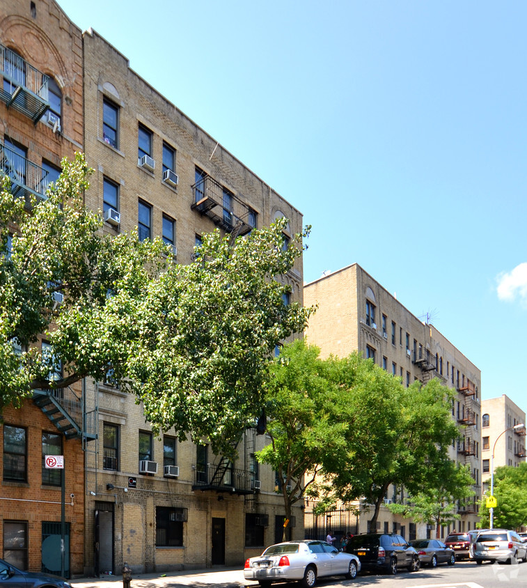
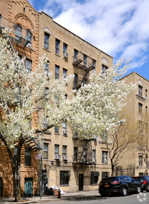

Experience Bronx living at 1465 Jesup Ave. The 10452 location in Bronx has so much to offer its residents. Make sure you to see the available floorplan options. The professional leasing team is ready to help match you with the perfect place. Visit 1465 Jesup Ave today.
1465 Jesup Ave is an apartment community located in Bronx County and the 10452 ZIP Code. This area is served by the New York City Geographic District # 9 attendance zone.
Located between Yankee Stadium and Interstate 95, Mount Eden is an affordable neighborhood in the West Bronx. Jerome Avenue and 170th Street are the neighborhood’s main commercial thoroughfares, offering an array of convenient shops, restaurants, markets, and banks in a walkable locale.
Outside of the main commercial thoroughfares, Mount Eden is largely residential. Locals enjoy a broad range of apartments and condos available for rent, in addition to a strong sense of community fostered by the New Settlement Community Center, which boasts great recreational facilities and various classes and programs. Commuting from Mount Eden is a breeze with direct access to I-95 and the 4, B, and D Trains.
Learn more about living in Mount EdenCompare neighborhood and city base rent averages by bedroom.
| Mount Eden | Bronx, NY | |
|---|---|---|
| Studio | $962 | $1,635 |
| 1 Bedroom | $1,582 | $1,636 |
| 2 Bedrooms | $1,740 | $2,089 |
| 3 Bedrooms | $1,424 | $2,373 |
| Colleges & Universities | Distance | ||
|---|---|---|---|
| Colleges & Universities | Distance | ||
| Drive: | 4 min | 1.2 mi | |
| Drive: | 4 min | 1.5 mi | |
| Drive: | 5 min | 2.1 mi | |
| Drive: | 6 min | 2.3 mi |


Transportation options available in Bronx include 170 Street (4 Line), located 0.4 mile from 1465 Jesup Ave. 1465 Jesup Ave is near LaGuardia, located 9.0 miles or 18 minutes away, and John F Kennedy International, located 20.1 miles or 29 minutes away.
| Transit / Subway | Distance | ||
|---|---|---|---|
| Transit / Subway | Distance | ||
|
|
Walk: | 8 min | 0.4 mi |
|
|
Walk: | 10 min | 0.6 mi |
|
|
Walk: | 10 min | 0.6 mi |
|
|
Walk: | 13 min | 0.7 mi |
|
|
Walk: | 14 min | 0.8 mi |
| Commuter Rail | Distance | ||
|---|---|---|---|
| Commuter Rail | Distance | ||
| Drive: | 4 min | 1.4 mi | |
|
|
Drive: | 4 min | 1.6 mi |
|
|
Drive: | 5 min | 1.7 mi |
|
|
Drive: | 5 min | 1.9 mi |
|
|
Drive: | 7 min | 3.4 mi |
| Airports | Distance | ||
|---|---|---|---|
| Airports | Distance | ||
|
LaGuardia
|
Drive: | 18 min | 9.0 mi |
|
John F Kennedy International
|
Drive: | 29 min | 20.1 mi |
Time and distance from 1465 Jesup Ave.
| Shopping Centers | Distance | ||
|---|---|---|---|
| Shopping Centers | Distance | ||
| Drive: | 3 min | 1.3 mi | |
| Drive: | 6 min | 1.8 mi | |
| Drive: | 5 min | 1.8 mi |
| Parks and Recreation | Distance | ||
|---|---|---|---|
| Parks and Recreation | Distance | ||
|
Claremont Park
|
Drive: | 4 min | 1.2 mi |
|
Joyce Kilmer Park
|
Drive: | 4 min | 1.5 mi |
|
Roberto Clemente State Park
|
Drive: | 6 min | 1.8 mi |
|
Highbridge Park
|
Drive: | 9 min | 3.9 mi |
|
Sherman Creek and Swindler Cove
|
Drive: | 10 min | 4.0 mi |
| Hospitals | Distance | ||
|---|---|---|---|
| Hospitals | Distance | ||
| Drive: | 6 min | 2.0 mi | |
| Drive: | 6 min | 2.0 mi | |
| Drive: | 7 min | 2.5 mi |
| Military Bases | Distance | ||
|---|---|---|---|
| Military Bases | Distance | ||
| Drive: | 19 min | 10.5 mi | |
| Drive: | 30 min | 15.2 mi |
What Are Walk Score®, Transit Score®, and Bike Score® Ratings?
Walk Score® measures the walkability of any address. Transit Score® measures access to public transit. Bike Score® measures the bikeability of any address.
What is a Sound Score Rating?
A Sound Score Rating aggregates noise caused by vehicle traffic, airplane traffic and local sources

1465 Jesup Ave
Bronx, NY 10452


