

$1,300 / Month

145 S Patterson St

,

Coats, NC 27521

Share Listing
Favorites
910-814-1012
  • Bedrooms

    2

  • Bathrooms

    1

  • Square Feet

    800 sq ft

  • Available

    Available Sep 21

145 S Patterson St
Share Listing
Favorites

About This Home

$1,300 deposit, Available Sep 21

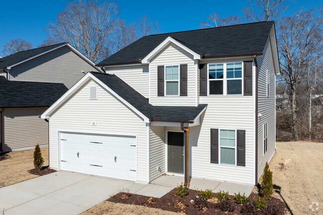
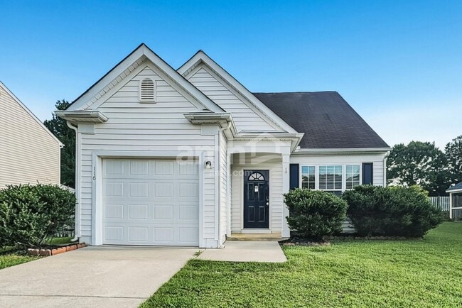
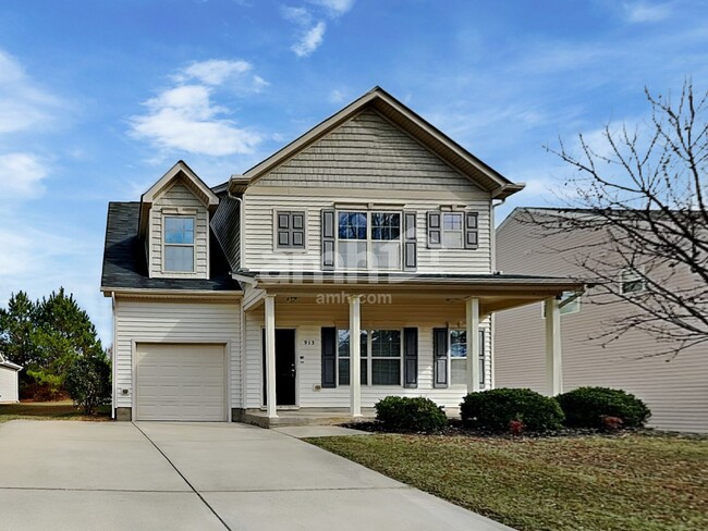
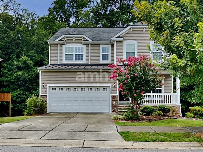
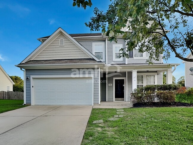
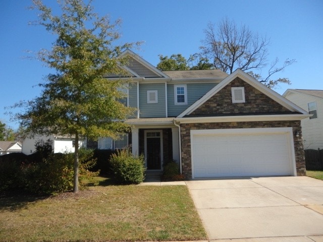
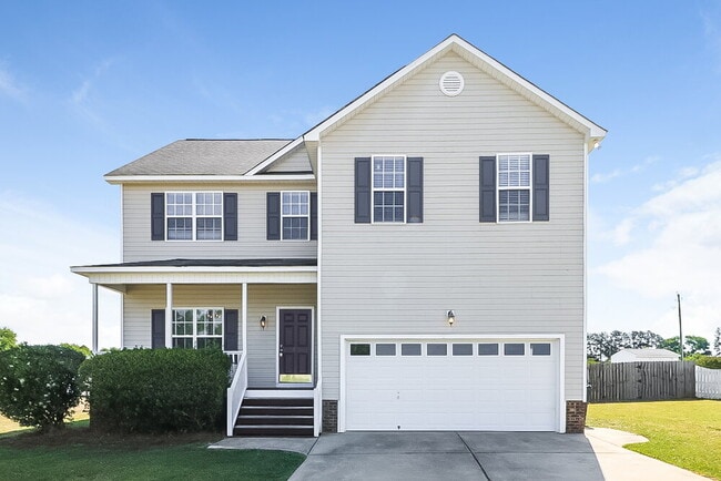
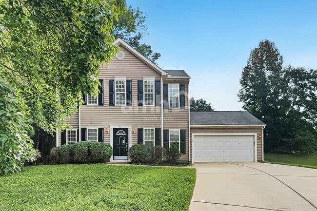
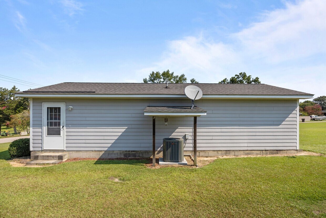
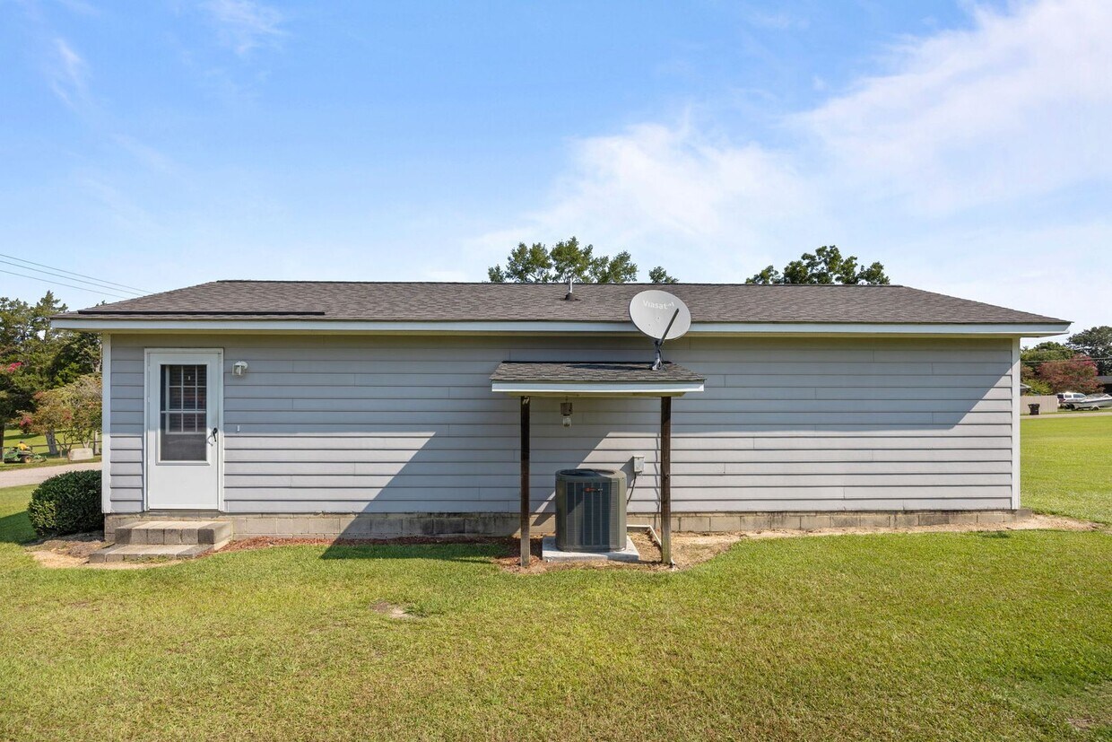
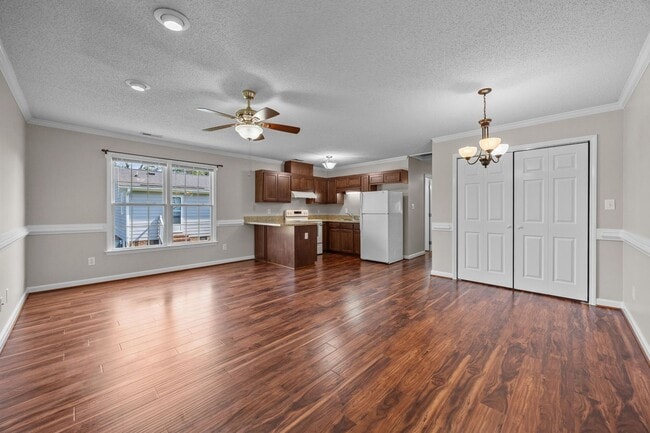
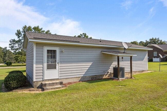
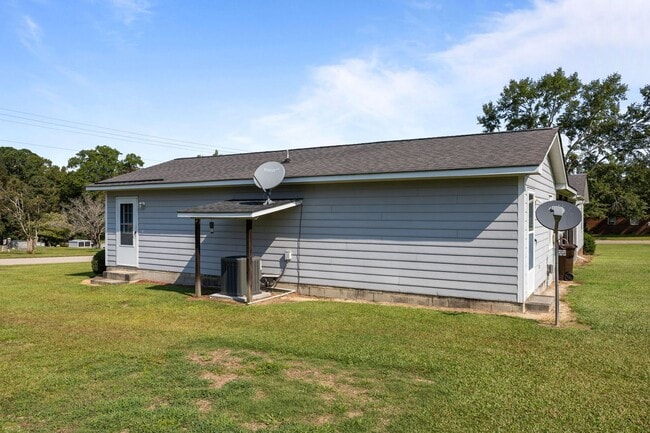
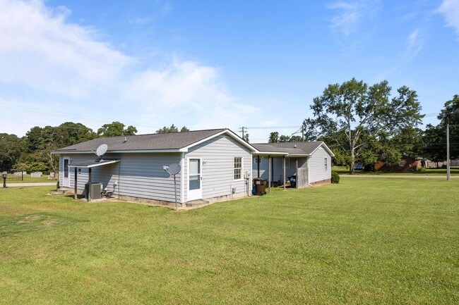
Welcome to the charming two-bedroom home in Coats, NC! This delightful property boasts a spacious lot, providing ample room for outdoor activities and gardening. Inside, you'll find two comfortable bedrooms and a full bathroom, perfect for simplifying your daily routines. The kitchen is equipped with essential appliances including a stove and fridge, ready for your culinary adventures. Please note, this property is not pet-friendly. Experience the comfort and convenience of this lovely home in Coats, NC. Don't miss out on this opportunity to make this house your home! **All Milton Realty Group residents will be enrolled in our resident benefits package. This is a $45 additional monthly fee- see flyer in the listing photo for more information.**

Unique Features

  • Lawncare
  • new washer and dryer
  • not pet friendly
  • spacious lot

145 S Patterson St is a house located in Harnett County and the 27521 ZIP Code. This area is served by the Harnett County School District attendance zone.

* Price shown is base rent. Excludes user-selected optional fees and variable or usage-based fees and required charges due at or prior to move-in or at move-out. Price, availability, fees, and any applicable rent special are subject to change without notice.
* Square footage definitions vary. Displayed square footage is approximate.

House Features

  • Range
  • Refrigerator

Contact

  • Listed by Milton Realty Group, LLC | Milton Realty Group, LLC
  • Phone Number
  • Contact
| Edit

Under 30 minutes

Commute Time is calculated at rush hour.
City - Coats

A secluded small town between Fayetteville and Raleigh, Coats is known for its welcoming community and family-friendly atmosphere. Affordable rentals line the residential streets of this rural town. Farmland surrounds the city of Coats, and a few local businesses sit within the city limits like Cornerstone Café & Coffee, a cozy local hangout. Residents of Coats — families in particular — appreciate the safe streets and great public schools offered in town like Coats Elementary. Although Coats is relatively secluded from any major cities, residents can still easily travel north into Raleigh or south into Fayetteville for work or play. Interstates 95 and 40 sit just a few miles east of town, offering the quickest commutes into either major North Carolina metro area.

Learn more about living in Coats 
Amenities
  • Range
  • Refrigerator
  • Lawncare
  • new washer and dryer
  • not pet friendly
  • spacious lot
Education
Colleges & Universities Distance
Drive: 7 min 4.5 mi
Drive: 30 min 20.2 mi
Drive: 39 min 25.5 mi
Drive: 41 min 26.0 mi
145 S Patterson St is within 7 minutes or 4.5 miles from Campbell University. It is also near Wake Technical and Wake Technical, Western Wake.
Schools
Public Elementary School
Grades PK-5
627 Students
Attendance Zone
Public Middle School
Grades 6-8
586 Students
Attendance Zone
Public High School
Grades 9-12
1,223 Students
Attendance Zone
Private Elementary, Middle & High School
Grades PK-12
251 Students
Nearby
Transportation

145 S Patterson St is near Fayetteville Regional/Grannis Field, located 38.4 miles or 53 minutes away, and Raleigh-Durham International, located 39.9 miles or 61 minutes away.

Commuter Rail Distance
Drive: 44 min 27.7 mi
Drive: 39 min 28.6 mi
Drive: 53 min 32.3 mi
Drive: 46 min 34.4 mi
Airports Distance
Airports Distance
Fayetteville Regional/Grannis Field
Drive: 53 min 38.4 mi
Raleigh-Durham International
Drive: 61 min 39.9 mi
Getting Around
Somewhat Walkable
Walkability
30 / 100
Very Drivable
Drivability
80 / 100
Somewhat Bikeable
Bikeability
20 / 100

Scores provided by

What do Walkability, Transit, Drivability, and Bikeability mean? Walkability measures the walking distance to day-to-day needs. Transit measures access to public transportation. Drivability measures congestion, parking availability, and access to major roads. Bikeability measures the suitability for cycling. How It Works
-
Soundscore
- / 100

Traffic

-

Airport

-

Businesses

-

Scores provided by

HowLoud What is a Sound Score Rating? A Sound Score Rating aggregates noise caused by vehicle traffic, airplane traffic and local sources. How It Works
Points of Interest

Time and distance from 145 S Patterson St.

Shopping Centers Distance
Drive: 9 min 5.9 mi
Drive: 10 min 6.8 mi
Drive: 13 min 7.1 mi
145 S Patterson St has 3 shopping centers within 7.1 miles, which is about a 13-minute drive. The miles and minutes will be for the farthest away property.
Parks and Recreation Distance
Cape Fear River Trail Park
Drive: 7 min 5.3 mi
145 S Patterson St has a nearby park, Cape Fear River Trail Park , located 5.3 miles or 7 minutes away.
Hospitals Distance
Hospitals Distance
Drive: 9 min 6.2 mi
Drive: 14 min 8.7 mi
145 S Patterson St is 6.2 miles from Good Hope Hospital, and is convenient to other hospitals, including Betsy Johnson Regional Hospital.
Military Bases Distance
Drive: 48 min 31.0 mi
Drive: 51 min 32.5 mi
Drive: 60 min 35.3 mi
145 S Patterson St has 3 military bases within 35.3 miles, the nearest is Pope Army Airfield which is 31.0 miles away and a 48 minute drive.

You May Also Like

Similar Rentals Nearby