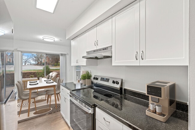
Williamsburg
200 W Galbraith Rd,
Cincinnati, OH 45215
$718 - $2,777
Studio - 3 Beds
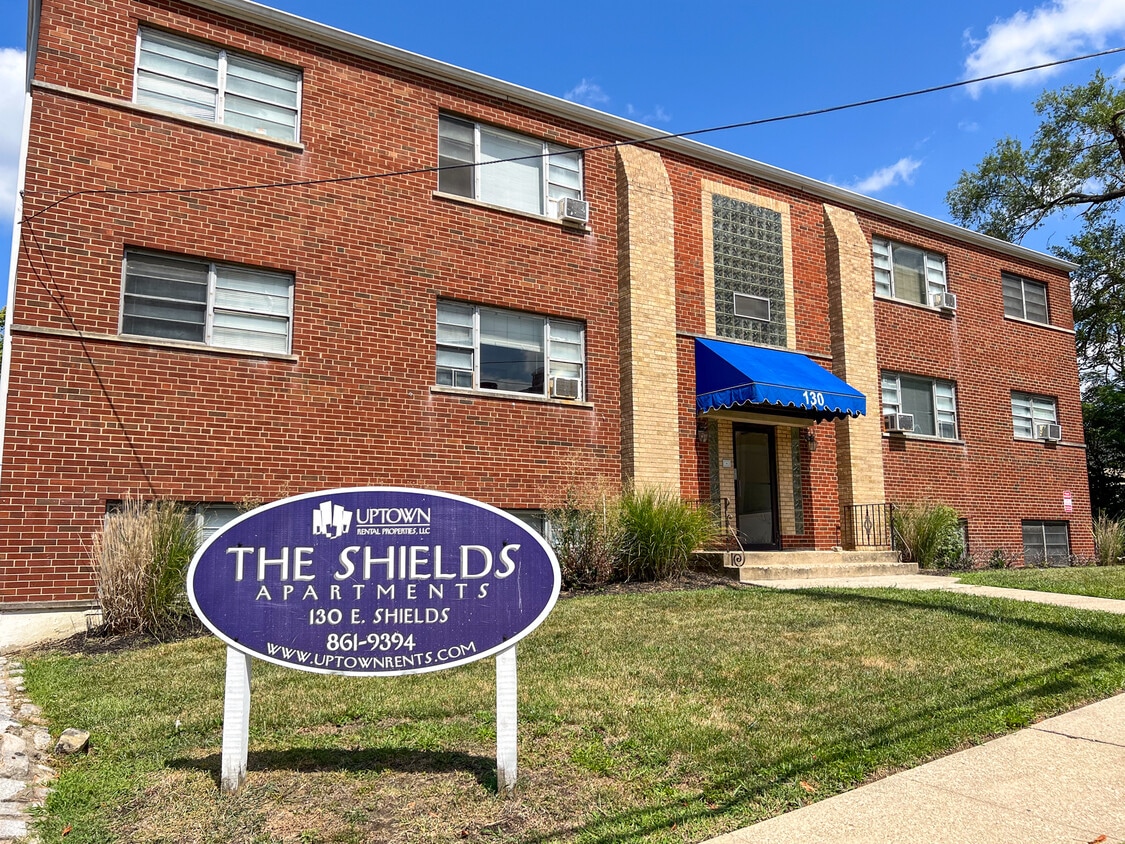

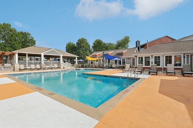
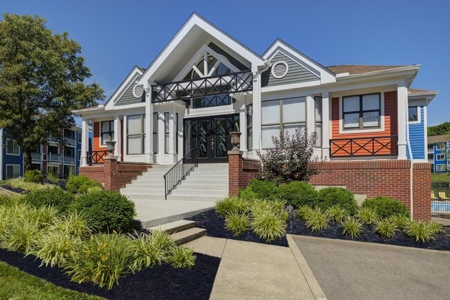
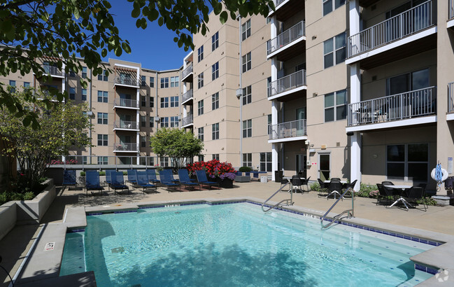
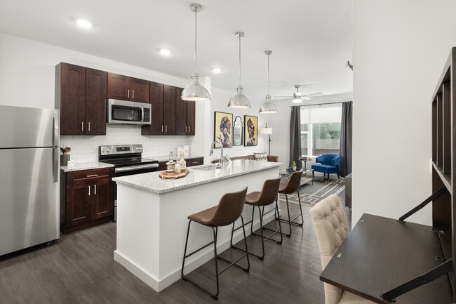
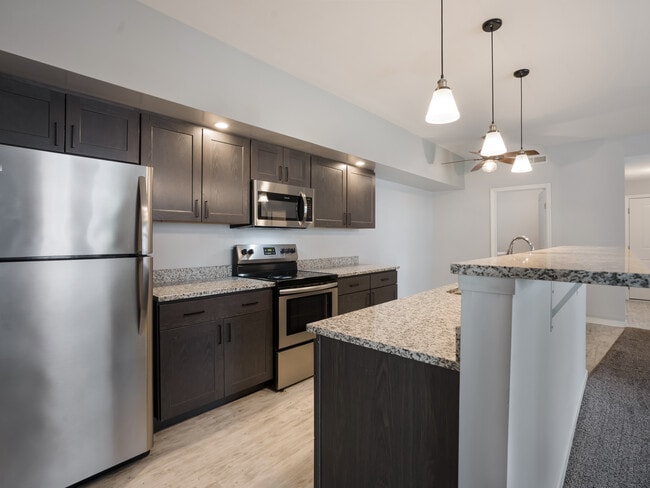
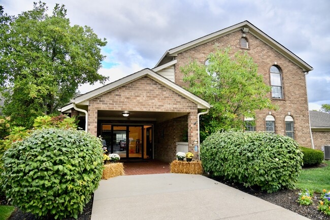
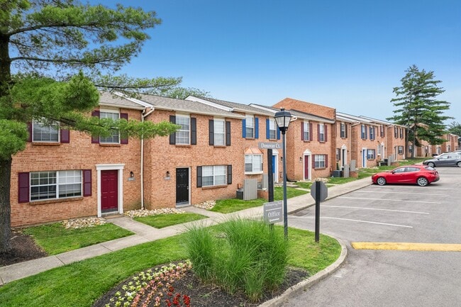
Ideally situated between the Cincinnati Zoo and UC College of Medicine, 130 E Shields is located on a quiet, no outlet street. Featuring hardwood floors, reserved parking and plenty of closet space, this secure entry building offers 1 bedroom options.
130 E. Shields Street is an apartment community located in Hamilton County and the 45220 ZIP Code. This area is served by the Cincinnati Public Schools attendance zone.
Unique Features
Laundry Facilities
Controlled Access
Online Services
Walk To Campus
Air Conditioning
High Speed Internet Access
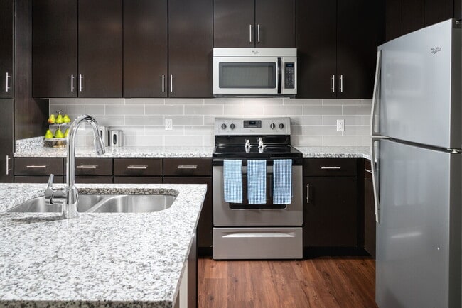
Hardwood Floors
Refrigerator
Corryville is an up-and-coming community just four miles from Cincinnati’s Central Business District. The neighborhood is next to the University of Cincinnati campus, containing the school’s College of Medicine classrooms.
Because of its proximity to the university, Corryville has experienced rapid growth in the construction of new student apartments and trendy restaurants. Even with such development, the Mecklenburg Gardens restaurant continues to be a popular dining spot for locals since its opening in 1870.
Residents and students alike enjoy the many happy hour options on Short Vine Street. The Bogart’s theater is a cool landmark, known for its metal band concerts. Locals adore the walkability of Corryville, direct access to Interstate 71, and the nearby scenic landscapes of Burnet Woods.
Learn more about living in CorryvilleCompare neighborhood and city base rent averages by bedroom.
| Corryville | Cincinnati, OH | |
|---|---|---|
| Studio | $1,100 | $1,065 |
| 1 Bedroom | $1,437 | $1,142 |
| 2 Bedrooms | $2,058 | $1,436 |
| 3 Bedrooms | $2,812 | $1,750 |
| Colleges & Universities | Distance | ||
|---|---|---|---|
| Colleges & Universities | Distance | ||
| Walk: | 8 min | 0.4 mi | |
| Walk: | 13 min | 0.7 mi | |
| Drive: | 8 min | 2.5 mi | |
| Drive: | 9 min | 3.2 mi |


 The GreatSchools Rating helps parents compare schools within a state based on a variety of school quality indicators and provides a helpful picture of how effectively each school serves all of its students. Ratings are on a scale of 1 (below average) to 10 (above average) and can include test scores, college readiness, academic progress, advanced courses, equity, discipline and attendance data. We also advise parents to visit schools, consider other information on school performance and programs, and consider family needs as part of the school selection process.
Transportation options available in Cincinnati include Findlay Market-Race Station - Race & Elder, located 2.1 miles from 130 E. Shields Street. 130 E. Shields Street is near Cincinnati/Northern Kentucky International, located 18.2 miles or 34 minutes away.
| Transit / Subway | Distance | ||
|---|---|---|---|
| Transit / Subway | Distance | ||
| Drive: | 5 min | 2.1 mi | |
| Drive: | 6 min | 2.2 mi | |
| Drive: | 6 min | 2.2 mi | |
| Drive: | 6 min | 2.3 mi | |
| Drive: | 7 min | 2.6 mi |
| Commuter Rail | Distance | ||
|---|---|---|---|
| Commuter Rail | Distance | ||
|
|
Drive: | 10 min | 4.6 mi |
| Airports | Distance | ||
|---|---|---|---|
| Airports | Distance | ||
|
Cincinnati/Northern Kentucky International
|
Drive: | 34 min | 18.2 mi |
Scores provided by
 What do Walkability, Transit, Drivability, and Bikeability mean?
Walkability measures the walking distance to day-to-day needs.
Transit measures access to public transportation.
Drivability measures congestion, parking availability, and access to major roads.
Bikeability measures the suitability for cycling.
How It Works
What do Walkability, Transit, Drivability, and Bikeability mean?
Walkability measures the walking distance to day-to-day needs.
Transit measures access to public transportation.
Drivability measures congestion, parking availability, and access to major roads.
Bikeability measures the suitability for cycling.
How It Works
Traffic
-Airport
-Businesses
-Scores provided by
HowLoud What is a Sound Score Rating? A Sound Score Rating aggregates noise caused by vehicle traffic, airplane traffic and local sources. How It WorksTime and distance from 130 E. Shields Street.
| Shopping Centers | Distance | ||
|---|---|---|---|
| Shopping Centers | Distance | ||
| Drive: | 3 min | 1.3 mi | |
| Drive: | 6 min | 2.3 mi | |
| Drive: | 6 min | 2.6 mi |
| Parks and Recreation | Distance | ||
|---|---|---|---|
| Parks and Recreation | Distance | ||
|
Cincinnati Zoo and Botanical Garden
|
Walk: | 5 min | 0.3 mi |
|
Burnet Woods
|
Walk: | 16 min | 0.9 mi |
|
Trailside Nature Center
|
Walk: | 17 min | 0.9 mi |
|
William H. Taft National Historic Site
|
Drive: | 5 min | 1.9 mi |
|
Eden Park
|
Drive: | 8 min | 3.3 mi |
| Hospitals | Distance | ||
|---|---|---|---|
| Hospitals | Distance | ||
| Walk: | 13 min | 0.7 mi | |
| Walk: | 14 min | 0.7 mi | |
| Walk: | 15 min | 0.8 mi |
| Military Bases | Distance | ||
|---|---|---|---|
| Military Bases | Distance | ||
| Drive: | 67 min | 51.1 mi | |
| Drive: | 73 min | 56.1 mi | |
| Drive: | 76 min | 59.4 mi |
What Are Walk Score®, Transit Score®, and Bike Score® Ratings?
Walk Score® measures the walkability of any address. Transit Score® measures access to public transit. Bike Score® measures the bikeability of any address.
What is a Sound Score Rating?
A Sound Score Rating aggregates noise caused by vehicle traffic, airplane traffic and local sources.
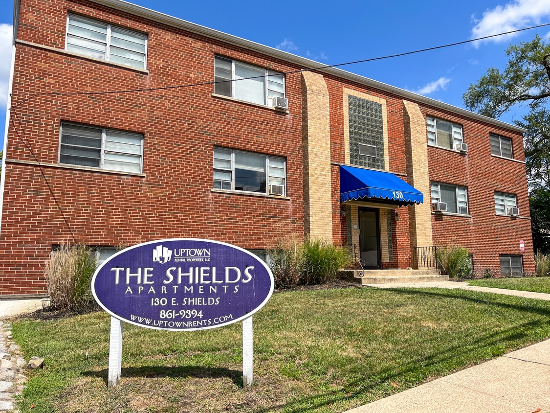
130 E Shields St
Cincinnati, OH 45220