

$1,570 / Month
128 N Gage Ave Unit 1/2
Los Angeles, CA 90063
2 Weeks Ago
Favorites
128 N Gage Ave Unit 1/2

Favorites
Check Back Soon for Upcoming Availability
| Beds | Baths | Average SF |
|---|---|---|
| 1 Bedroom 1 Bedroom 1 Br | 1 Bath 1 Bath 1 Ba | 550 SF |
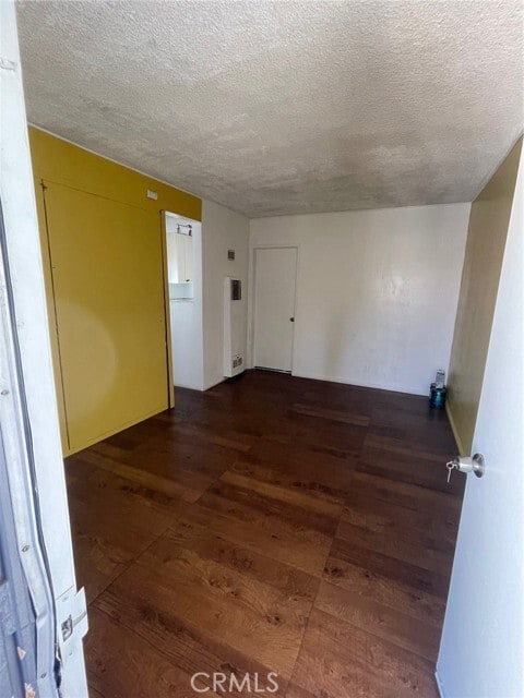
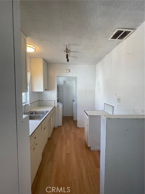
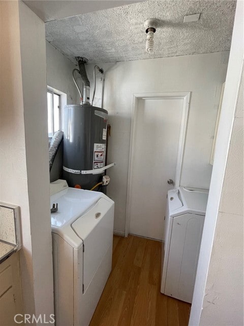
About This Property
Beautiful 1 Bedrooms, 1 Full Bathroom and a Kitchen Apartment. Washer and Dryer included. One parking space. It is ready to move in. Located in Los Angeles, The property is centrally closed to public transportation, grocery stores, laundromats, schools, freeways, bakeries, banks, and restaurants. Requirements Household income $4000+, credit 620+, bank $ 5000+ -Landlord pays water and trash also gardening -Tenant pays electricity and gas -one compacts vehicle parking space
128 N Gage Ave is an apartment community located in Los Angeles County and the 90063 ZIP Code.
Location
Get Directions
Southeast Los Angeles is directly south of the Fashion District and east of the University of Southern California (USC). This large neighborhood is minutes from downtown Los Angeles, Hollywood, and Beverly Hills, with easy access to the 110 Freeway. This great location places you near sunny beaches, nature trails, and a bevy of leading employers. Students can access both USC and California State University Long Beach from their Southeast LA apartment.
This densely populated, diverse neighborhood features everything from food trucks and corner markets to wide sidewalks and residential areas filled with bungalows, ranch, and Spanish Colonial architecture. Southeast LA features palm trees and mountain views, tampered with gritty undertones to give it a cool, funky vibe.
As for outdoor fun, take your pick between Catalina Island, Venus Beach, or the Santa Monica Pier. Nearby, you’ll find more sunny beaches like White Point, Cabrillo, and Long Beach.
Learn more about living in Southeast Los AngelesBelow are rent ranges for similar nearby apartments
Expenses
Utilities Included
Water, Trash Removal
Included
Education
| Colleges & Universities | Distance | ||
|---|---|---|---|
| Colleges & Universities | Distance | ||
| Drive: | 7 min | 3.0 mi | |
| Drive: | 5 min | 3.0 mi | |
| Drive: | 7 min | 3.1 mi | |
| Drive: | 11 min | 6.2 mi |
128 N Gage Ave Unit 1/2 is within 5 minutes or 3.0 miles from East Los Angeles College. It is also near USC, Health Sciences Campus and Cal State Los Angeles.
Transportation options available in Los Angeles include Indiana Station, located 0.6 mile from 128 N Gage Ave Unit 1/2. 128 N Gage Ave Unit 1/2 is near Bob Hope, located 18.9 miles or 27 minutes away, and Los Angeles International, located 19.4 miles or 30 minutes away.
| Transit / Subway | Distance | ||
|---|---|---|---|
| Transit / Subway | Distance | ||
| Walk: | 11 min | 0.6 mi | |
| Drive: | 2 min | 1.2 mi | |
| Drive: | 3 min | 1.6 mi | |
| Drive: | 4 min | 1.7 mi | |
| Drive: | 4 min | 2.5 mi |
| Commuter Rail | Distance | ||
|---|---|---|---|
| Commuter Rail | Distance | ||
| Drive: | 6 min | 3.4 mi | |
|
|
Drive: | 8 min | 3.8 mi |
| Drive: | 10 min | 5.4 mi | |
| Drive: | 10 min | 6.1 mi | |
| Drive: | 11 min | 7.7 mi |
| Airports | Distance | ||
|---|---|---|---|
| Airports | Distance | ||
|
Bob Hope
|
Drive: | 27 min | 18.9 mi |
|
Los Angeles International
|
Drive: | 30 min | 19.4 mi |
Time and distance from 128 N Gage Ave Unit 1/2.
| Shopping Centers | Distance | ||
|---|---|---|---|
| Shopping Centers | Distance | ||
| Walk: | 8 min | 0.4 mi | |
| Drive: | 3 min | 1.3 mi | |
| Drive: | 4 min | 1.5 mi |
128 N Gage Ave Unit 1/2 has 3 shopping centers within 1.5 miles, which is about a 4-minute walk. The miles and minutes will be for the farthest away property.
| Parks and Recreation | Distance | ||
|---|---|---|---|
| Parks and Recreation | Distance | ||
|
Hollenbeck Lake
|
Drive: | 5 min | 2.2 mi |
|
Vista Hermosa Natural Park
|
Drive: | 10 min | 5.4 mi |
|
Audubon Center at Debs Park
|
Drive: | 11 min | 6.3 mi |
|
Elysian Park
|
Drive: | 15 min | 6.4 mi |
|
Augustus Hawkins Natural Park
|
Drive: | 10 min | 6.8 mi |
128 N Gage Ave Unit 1/2 has 5 parks within 6.8 miles, including Hollenbeck Lake, Vista Hermosa Natural Park, and Elysian Park.
| Hospitals | Distance | ||
|---|---|---|---|
| Hospitals | Distance | ||
| Drive: | 3 min | 1.4 mi | |
| Drive: | 3 min | 1.8 mi | |
| Drive: | 6 min | 3.1 mi |
128 N Gage Ave Unit 1/2 has 3 hospitals within 3.1 miles, the nearest is East Los Angeles Doctors Hospital which is 1.4 miles away and a 3 minute drive.
| Military Bases | Distance | ||
|---|---|---|---|
| Military Bases | Distance | ||
| Drive: | 28 min | 20.0 mi | |
| Drive: | 32 min | 22.2 mi |
128 N Gage Ave Unit 1/2 is 20.0 miles from Los Angeles Air Force Base, and is convenient to other military bases, including Los Alamitos Army Airfield.
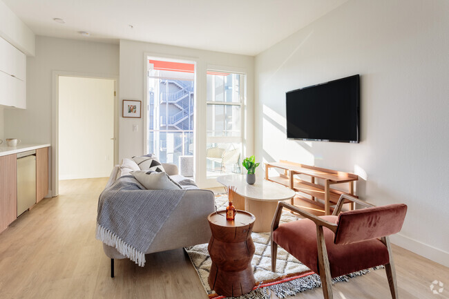
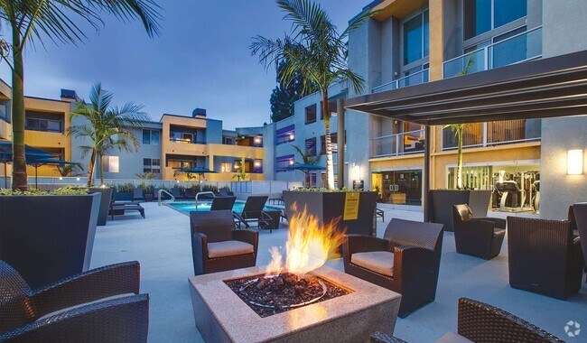
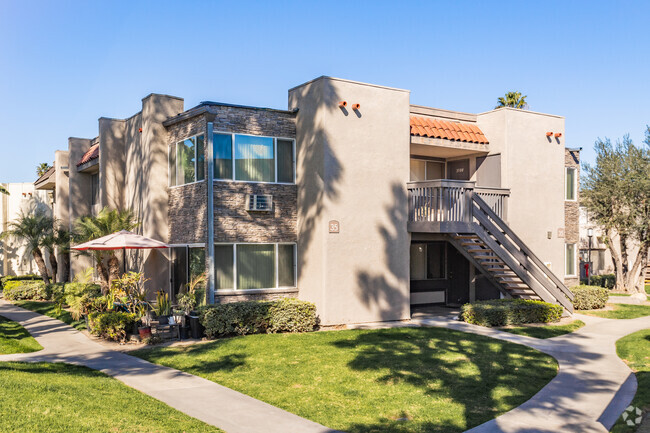
You May Also Like
Similar Rentals Nearby


What Are Walk Score®, Transit Score®, and Bike Score® Ratings?
Walk Score® measures the walkability of any address. Transit Score® measures access to public transit. Bike Score® measures the bikeability of any address.
What is a Sound Score Rating?
A Sound Score Rating aggregates noise caused by vehicle traffic, airplane traffic and local sources
128 N Gage Ave
Los Angeles, CA 90063