
Forest Hill Apartments
123 Davey St,
Bloomfield, NJ 07003
$1,659 - $2,849
Studio - 2 Beds

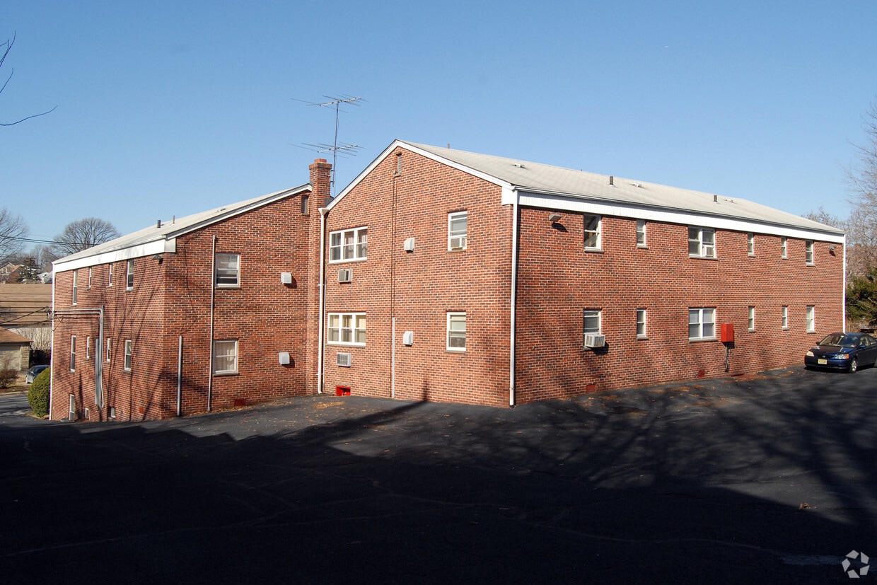
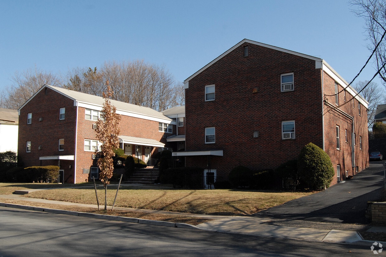

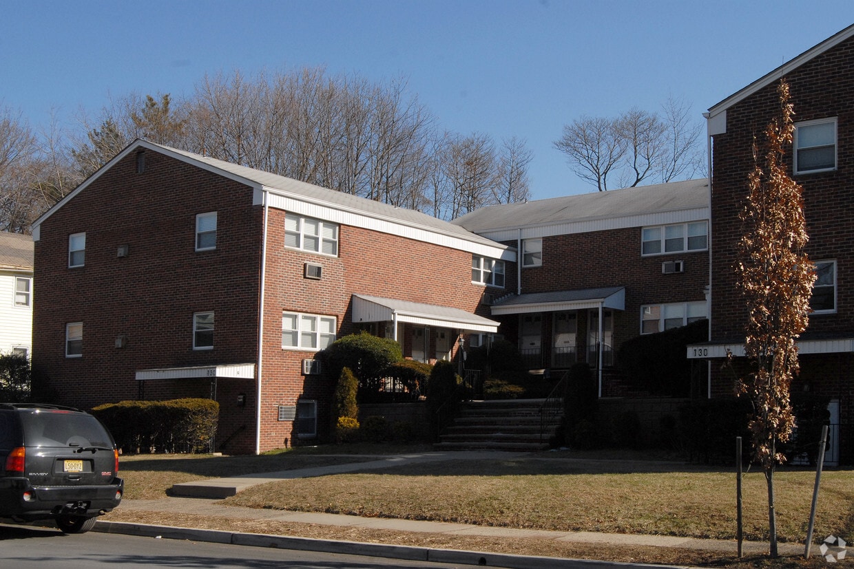
Find true Nutley living at 128-132 Bloomfield Ave. This community is located in the 07110 area of Nutley. From amenities to floorplan options, the community staff is ready to help you find your perfect fit. Come for a visit to see the current floorplan options. It's time to get moving on finding your next place. Contact or stop by the 128-132 Bloomfield Ave leasing office to find out the availability today.
128-132 Bloomfield Ave is an apartment community located in Essex County and the 07110 ZIP Code. This area is served by the Nutley Public School District attendance zone.
Heating
Oven
Range
Kitchen
Nutley, NJ sits just 15 miles from Midtown Manhattan, giving it that rare quality of feeling genuinely removed from city life while staying closely connected to one of the world's busiest economic centers. Tucked into Essex County along the Passaic River, this compact township covers only four square miles yet holds a population of nearly 30,000 residents, making it one of the more densely settled communities in the Garden State.
The township carries a strong sense of place rooted in its early-20th-century roots. Originally incorporated as Franklin Township in 1874, Nutley grew into a close-knit community with tree-lined streets and well-kept residential blocks that still define its character today. The Downtown district along Franklin Avenue anchors the social and commercial life of the area, while surrounding neighborhoods offer a quieter, more settled pace.
Learn more about living in Nutley| Colleges & Universities | Distance | ||
|---|---|---|---|
| Colleges & Universities | Distance | ||
| Drive: | 4 min | 2.1 mi | |
| Drive: | 12 min | 4.8 mi | |
| Drive: | 11 min | 5.6 mi | |
| Drive: | 12 min | 5.8 mi |


Transportation options available in Nutley include Branch Brook Park, located 2.7 miles from 128-132 Bloomfield Ave. 128-132 Bloomfield Ave is near Newark Liberty International, located 11.8 miles or 20 minutes away, and LaGuardia, located 22.6 miles or 42 minutes away.
| Transit / Subway | Distance | ||
|---|---|---|---|
| Transit / Subway | Distance | ||
|
|
Drive: | 6 min | 2.7 mi |
|
|
Drive: | 7 min | 3.1 mi |
|
|
Drive: | 7 min | 3.2 mi |
|
|
Drive: | 7 min | 3.3 mi |
|
|
Drive: | 8 min | 3.7 mi |
| Commuter Rail | Distance | ||
|---|---|---|---|
| Commuter Rail | Distance | ||
|
|
Drive: | 5 min | 2.6 mi |
|
|
Drive: | 6 min | 2.6 mi |
|
|
Drive: | 7 min | 2.6 mi |
|
|
Drive: | 7 min | 3.1 mi |
|
|
Drive: | 7 min | 3.2 mi |
| Airports | Distance | ||
|---|---|---|---|
| Airports | Distance | ||
|
Newark Liberty International
|
Drive: | 20 min | 11.8 mi |
|
LaGuardia
|
Drive: | 42 min | 22.6 mi |
Scores provided by
Traffic
-Airport
-Businesses
-Scores provided by
HowLoud What is a Sound Score Rating? A Sound Score Rating aggregates noise caused by vehicle traffic, airplane traffic and local sources. How It WorksTime and distance from 128-132 Bloomfield Ave.
| Shopping Centers | Distance | ||
|---|---|---|---|
| Shopping Centers | Distance | ||
| Drive: | 5 min | 2.1 mi | |
| Drive: | 6 min | 2.4 mi |
| Parks and Recreation | Distance | ||
|---|---|---|---|
| Parks and Recreation | Distance | ||
|
Van Vleck House & Gardens
|
Drive: | 9 min | 3.5 mi |
|
Branch Brook Park
|
Drive: | 10 min | 4.4 mi |
|
Presby Memorial Iris Gardens
|
Drive: | 10 min | 4.7 mi |
|
Richard W. DeKorte Park
|
Drive: | 13 min | 5.3 mi |
|
Edison National Historic Site
|
Drive: | 12 min | 6.1 mi |
| Hospitals | Distance | ||
|---|---|---|---|
| Hospitals | Distance | ||
| Drive: | 5 min | 2.3 mi | |
| Drive: | 9 min | 4.7 mi | |
| Drive: | 9 min | 5.2 mi |
| Military Bases | Distance | ||
|---|---|---|---|
| Military Bases | Distance | ||
| Drive: | 26 min | 15.6 mi | |
| Drive: | 31 min | 18.3 mi | |
| Drive: | 41 min | 23.7 mi |
What Are Walk Score®, Transit Score®, and Bike Score® Ratings?
Walk Score® measures the walkability of any address. Transit Score® measures access to public transit. Bike Score® measures the bikeability of any address.
What is a Sound Score Rating?
A Sound Score Rating aggregates noise caused by vehicle traffic, airplane traffic and local sources.
128-132 Bloomfield Ave
Nutley, NJ 07110


