
$1,500
/ Month
1250 Pioneer Ave Unit 7
Turlock, CA 95380
Favorites
1250 Pioneer Ave Unit 7

Favorites
Check Back Soon for Upcoming Availability
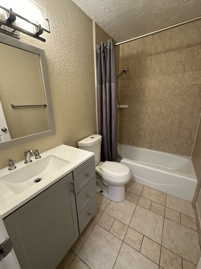
| Beds | Baths | Average SF |
|---|---|---|
| 2 Bedrooms 2 Bedrooms 2 Br | 1 Bath 1 Bath 1 Ba | 864 SF |
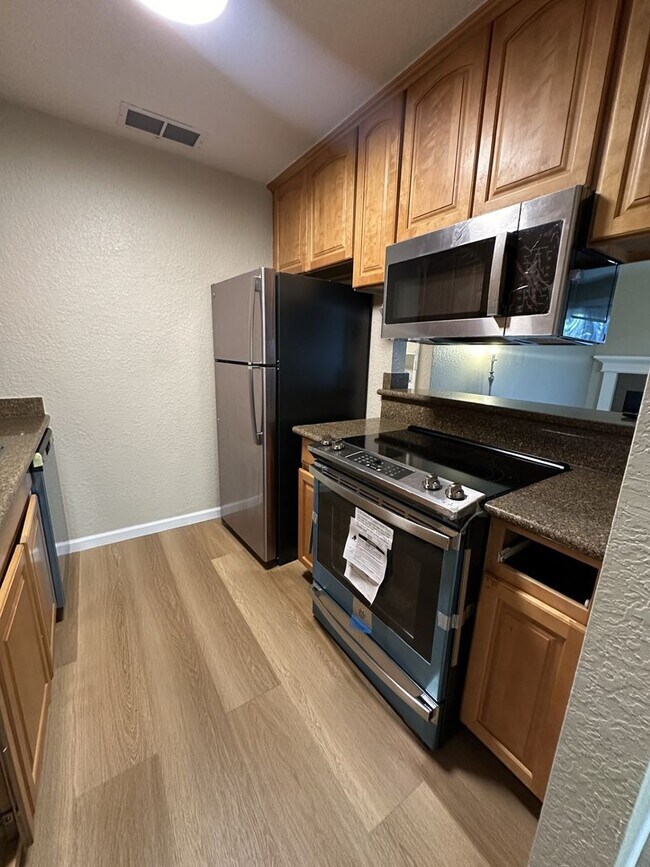
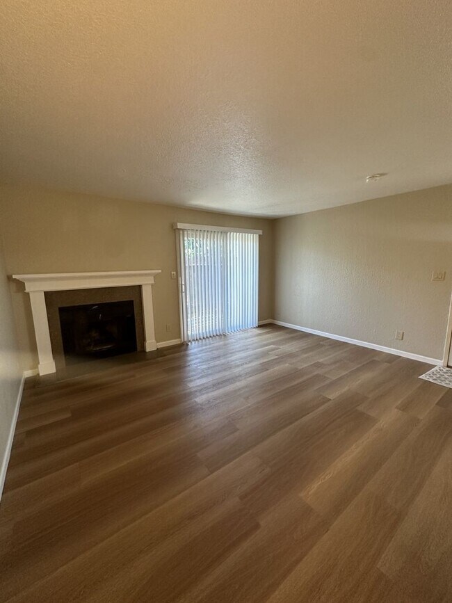
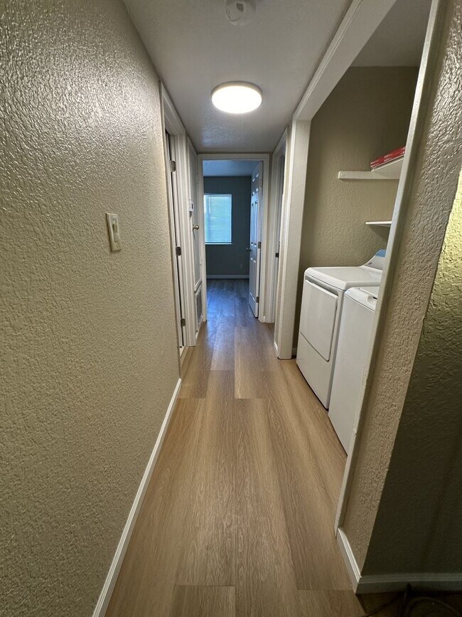
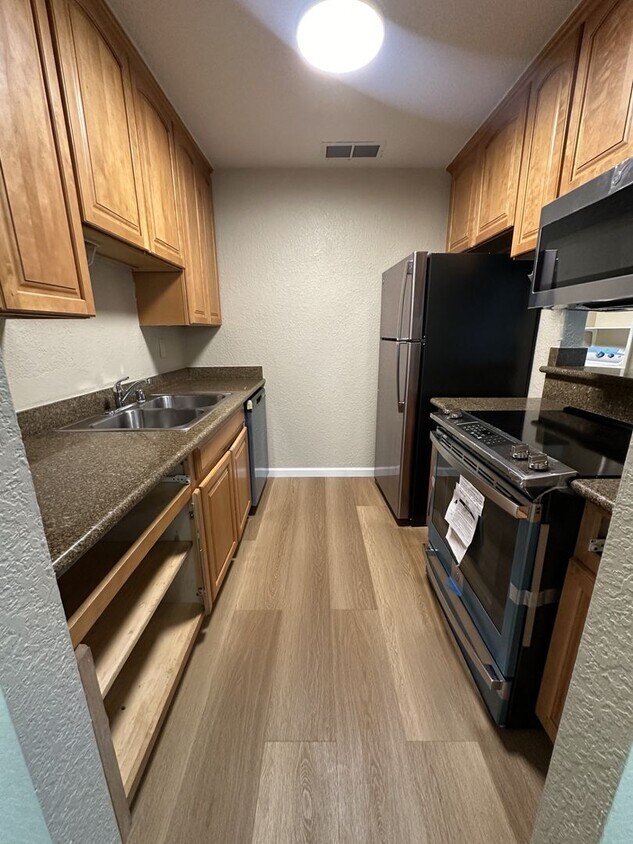
About This Property
Discover your new place in Turlock, CA. You'll enjoy this great location at 1250 Pioneer Ave in Turlock and the shops and restaurants nearby. With this great space, you're home. Reach out to learn more about this great rental.
1250 Pioneer Ave is an apartment community located in Stanislaus County and the 95380 ZIP Code.
1250 Pioneer Ave,
Turlock,
CA
95380
Chemurgic is a rural section of Stanislaus County on the outskirts of the city of Turlock. Friendly neighbors and country roads set the stage for a more laid-back lifestyle. Residents here enjoy wide open spaces, a quiet atmosphere, and seemingly endless outdoor surroundings. Many residents work in the farming industry, and there’s prominent agricultural chemical manufacturer that employs a large number of people in the area. The center of Turlock is just a few minutes away and provides everything from nice restaurants, artisan breweries, a first-class university, and all the stores needed for day-to-day living.
Learn more about living in ChemurgicBelow are rent ranges for similar nearby apartments
| Beds | Average Size | Lowest | Typical | Premium |
|---|---|---|---|---|
| Studio Studio Studio | 510 Sq Ft | $1,740 | $2,085 | $3,944 |
| 1 Bed 1 Bed 1 Bed | 652 Sq Ft | $1,400 | $1,699 | $3,908 |
| 2 Beds 2 Beds 2 Beds | 1003-1005 Sq Ft | $1,500 | $2,079 | $5,015 |
| 3 Beds 3 Beds 3 Beds | 1379-1389 Sq Ft | $1,950 | $2,366 | $2,995 |
| 4 Beds 4 Beds 4 Beds | 2066 Sq Ft | $2,300 | $2,829 | $3,195 |
Education
| Colleges & Universities | Distance | ||
|---|---|---|---|
| Colleges & Universities | Distance | ||
| Drive: | 6 min | 2.6 mi | |
| Drive: | 24 min | 15.5 mi | |
| Drive: | 26 min | 17.6 mi | |
| Drive: | 42 min | 29.4 mi |
1250 Pioneer Ave Unit 7 is within 6 minutes or 2.6 miles from Stanislaus State. It is also near Modesto Junior College, East and Modesto Junior College, West.
Walkability Near 1250 Pioneer Ave Turlock, CA 95380
Getting Around
 What do Walkability, Transit, Drivability, and Bikeability mean?
Walkability measures the walking distance to day-to-day needs.
Transit measures access to public transportation.
Drivability measures congestion, parking availability, and access to major roads.
Bikeability measures the suitability for cycling.
How It Works
What do Walkability, Transit, Drivability, and Bikeability mean?
Walkability measures the walking distance to day-to-day needs.
Transit measures access to public transportation.
Drivability measures congestion, parking availability, and access to major roads.
Bikeability measures the suitability for cycling.
How It Works
Fairly Walkable
Walkability
50
/ 100
Limited Public Transit
Transit
30
/ 100
Very Drivable
Drivability
80
/ 100
Somewhat Bikeable
Bikeability
30
/ 100
Scores provided by
-
Soundscore™
-
/ 100
Traffic
-Airport
-Businesses
-Scores provided by
HowLoud What is a Sound Score Rating? A Sound Score Rating aggregates noise caused by vehicle traffic, airplane traffic and local sources. How It WorksYou May Also Like
Similar Rentals Nearby


What Are Walk Score®, Transit Score®, and Bike Score® Ratings?
Walk Score® measures the walkability of any address. Transit Score® measures access to public transit. Bike Score® measures the bikeability of any address.
What is a Sound Score Rating?
A Sound Score Rating aggregates noise caused by vehicle traffic, airplane traffic and local sources.
1250 Pioneer Ave
Turlock, CA 95380