
Hue39
3909 San Fernando Rd,
Glendale, CA 91204
$2,750 - $2,895
1-2 Beds

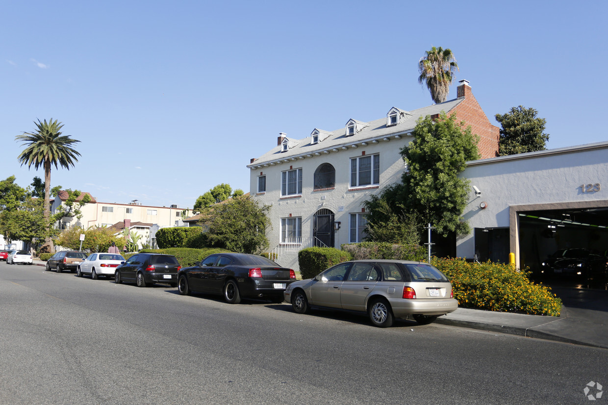
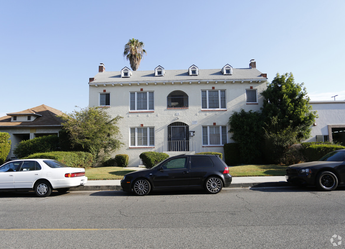

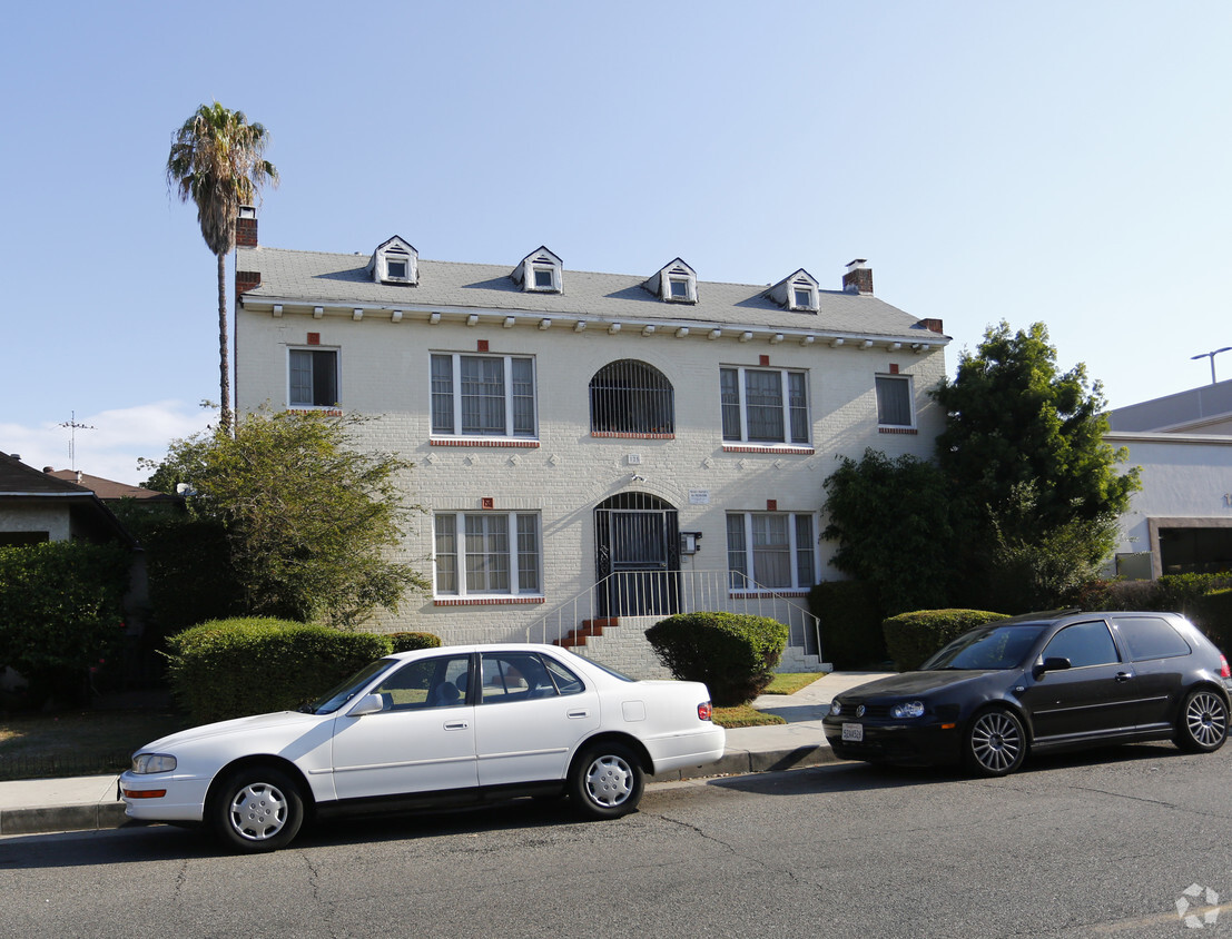
Enjoy Glendale living at 125 W Palmer Ave. This property is situated in the Tropico area of Glendale. The leasing staff will assist you in finding your ideal place. It's time to love where you live. Stop by for a visit today.
125 W Palmer Ave is an apartment community located in Los Angeles County and the 91204 ZIP Code. This area is served by the Los Angeles Unified attendance zone.
Situated just two miles south of Downtown Glendale, Tropico is a vibrant neighborhood brimming with activity. San Fernando Road, Central Avenue, Brand Boulevard, and Los Feliz Road serve as the neighborhood’s main thoroughfares, boasting a bevy of diverse restaurants, shops, and services in a bustling locale.
Tropico’s rental options range from luxury apartments and condos to modern townhomes. Residents enjoy quick access to the sprawling Griffith Park, which neighbors the community to the west. Glendale Station is located in the neighborhood, affording many Tropico residents short commute times throughout Greater Los Angeles.
Learn more about living in Tropico| Colleges & Universities | Distance | ||
|---|---|---|---|
| Colleges & Universities | Distance | ||
| Drive: | 8 min | 3.6 mi | |
| Drive: | 9 min | 4.2 mi | |
| Drive: | 8 min | 4.6 mi | |
| Drive: | 9 min | 6.1 mi |


Transportation options available in Glendale include Vermont/Sunset Station, located 3.8 miles from 125 W Palmer Ave. 125 W Palmer Ave is near Bob Hope, located 10.9 miles or 17 minutes away, and Los Angeles International, located 19.0 miles or 35 minutes away.
| Transit / Subway | Distance | ||
|---|---|---|---|
| Transit / Subway | Distance | ||
|
|
Drive: | 7 min | 3.8 mi |
|
|
Drive: | 7 min | 4.3 mi |
|
|
Drive: | 8 min | 4.3 mi |
|
|
Drive: | 10 min | 5.6 mi |
|
|
Drive: | 12 min | 5.7 mi |
| Commuter Rail | Distance | ||
|---|---|---|---|
| Commuter Rail | Distance | ||
|
|
Walk: | 16 min | 0.8 mi |
|
|
Drive: | 9 min | 5.5 mi |
|
|
Drive: | 14 min | 6.8 mi |
|
|
Drive: | 13 min | 7.1 mi |
| Drive: | 16 min | 11.2 mi |
| Airports | Distance | ||
|---|---|---|---|
| Airports | Distance | ||
|
Bob Hope
|
Drive: | 17 min | 10.9 mi |
|
Los Angeles International
|
Drive: | 35 min | 19.0 mi |
Time and distance from 125 W Palmer Ave.
| Shopping Centers | Distance | ||
|---|---|---|---|
| Shopping Centers | Distance | ||
| Walk: | 2 min | 0.1 mi | |
| Walk: | 5 min | 0.3 mi | |
| Walk: | 6 min | 0.3 mi |
| Parks and Recreation | Distance | ||
|---|---|---|---|
| Parks and Recreation | Distance | ||
|
Marsh Park
|
Drive: | 7 min | 3.0 mi |
|
Bird Sanctuary
|
Drive: | 8 min | 3.3 mi |
|
Los Angeles Zoo
|
Drive: | 12 min | 3.9 mi |
|
Griffith Observatory
|
Drive: | 11 min | 4.5 mi |
|
Griffith Park
|
Drive: | 21 min | 6.7 mi |
| Hospitals | Distance | ||
|---|---|---|---|
| Hospitals | Distance | ||
| Walk: | 8 min | 0.4 mi | |
| Drive: | 7 min | 2.8 mi | |
| Drive: | 7 min | 3.8 mi |
| Military Bases | Distance | ||
|---|---|---|---|
| Military Bases | Distance | ||
| Drive: | 32 min | 22.7 mi |
What Are Walk Score®, Transit Score®, and Bike Score® Ratings?
Walk Score® measures the walkability of any address. Transit Score® measures access to public transit. Bike Score® measures the bikeability of any address.
What is a Sound Score Rating?
A Sound Score Rating aggregates noise caused by vehicle traffic, airplane traffic and local sources
125 W Palmer Ave
Glendale, CA 91204


 - Violet on Virgil")

 - AVA Burbank")


