

$2,150 / Month

125 Via Manzanita Ct

,

Paso Robles, CA 93446

Share Listing
Favorites
125 Via Manzanita Ct
Share Listing
Favorites

Check Back Soon for Upcoming Availability

Beds Baths Average SF
3 Bedrooms 3 Bedrooms 3 Br 2 Baths 2 Baths 2 Ba 2,124 SF

About This Property

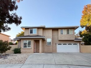
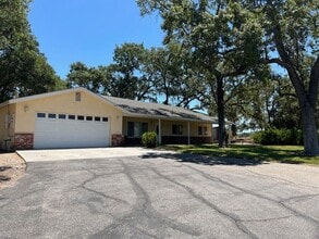
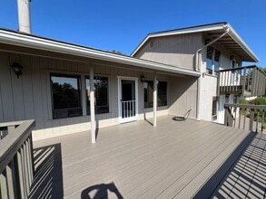
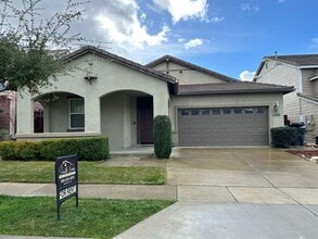
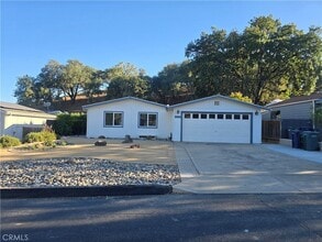
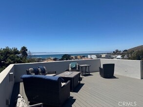
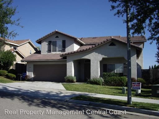
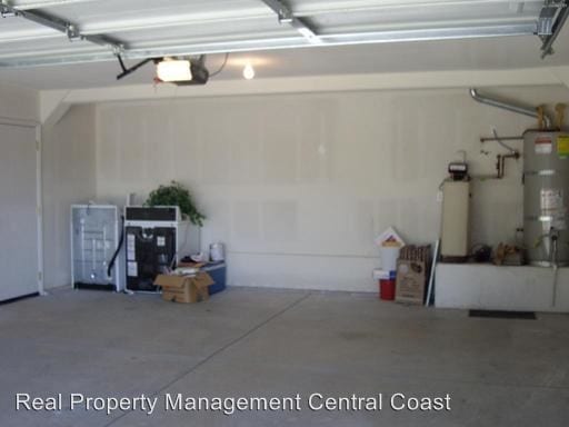
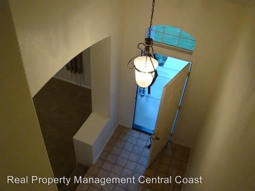
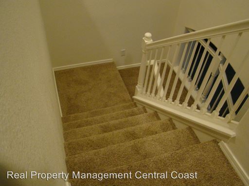
(805) 540-6022 - Newer Larger Home in Good Area - Newer Paso Robles two story home in great area-located on quiet street. Home Built in 2002 and shows like new. Home has been recently redone with new paint and new carpets throughout home. This home has it all-family room, dining room, living room with fireplace, and open kitchen with tile counter tops and wood cabinets Upstairs has large master suite-laundry room, 2 baths, and two additional bedrooms-each with ample storage and closet space. Home location also provides back yard views which you can enjoy form wood patio deck. Large 2 car garage and concrete drive provide lots of room for your toys, cars or ? Owner to provide gardener. No Smoking. No Pets. 12 month lease. Must attend showing with an agent in order to apply. Do Not disturb current tenants-doing so will prohibit you from leasing the property. To schedule a showing please copy and past the link below into your browser: https://secure.rently.com/properties/82111 CA DRE Broker's Lic # 01876023 (RLNE2265184) Other Amenities - Patio, Balcony. Appliances - Dishwasher, Air Conditioning, Washer & Dryer. Details regarding this property's Utilities - Other- fireplace, views, cable-ready.

125 Via Manzanita Ct is a house located in San Luis Obispo County and the 93446 ZIP Code. This area is served by the Paso Robles Joint Unified School District attendance zone.

House Features

  • Air Conditioning
Location
125 Via Manzanita Ct, Paso Robles,
CA 93446
Get Directions
| Edit

Under 30 minutes

Commute Time is calculated at rush hour.
City - Paso Robles

Cradled in the coastal mountain range of Central California, Paso Robles sits about halfway between San Francisco and Los Angeles, serving as a gateway to vibrant metropolitan areas. Paso Robles is famous in its own right, best known for its thriving wineries and vineyards in addition to its healing hot springs. Located on the Salinas River, Paso Robles offers residents and visitors access to plenty of recreational opportunities in its local parks and golf courses as well as the nearby mountains, beaches, and deserts.

Paso Robles maintains a small-town charm, hosting dozens of annual events for the community such as the California Mid-State Fair, Olive Festival, Lavender Festival, and the Zinfandel Festival. Paso Robles also boasts a historic downtown area brimming with boutiques, wine tasting rooms, and local restaurants. Getting around from Paso Robles is easy with convenience to U.S. 101, Route 46, Paso Robles Intermodal Station, and Paso Robles Municipal Airport.

Learn more about living in Paso Robles 
Amenities
  • Air Conditioning
Education
Colleges & Universities Distance
Drive: 7 min 3.0 mi
Drive: 37 min 29.4 mi
Drive: 44 min 34.2 mi
125 Via Manzanita Ct is within 7 minutes or 3.0 miles from Cuesta College, North County. It is also near Cal Poly and Cuesta Coll., San Luis Obispo.
Schools
Public Elementary, Middle & High School
Grades K-12
25 Students
Nearby
Public Elementary School
Grades K-5
454 Students
Attendance Zone
Public Middle School
Grades 6-8
884 Students
Attendance Zone
Public High School
Grades 9-12
1,986 Students
Attendance Zone
Private Elementary, Middle & High School
Grades PK-12
340 Students
Nearby
Private Elementary & Middle School
Grades PK-8
245 Students
Nearby
Private Elementary, Middle & High School
Grades K-12
Nearby
Transportation

125 Via Manzanita Ct is near San Luis County Regional, located 34.9 miles or 47 minutes away.

Commuter Rail Distance
Drive: 3 min 1.4 mi
Drive: 38 min 29.8 mi
Airports Distance
Airports Distance
San Luis County Regional
Drive: 47 min 34.9 mi

Walkability Near 125 Via Manzanita Ct Paso Robles, CA 93446

Getting Around
Fairly Walkable
Walkability
40 / 100
Minimal Public Transit
Transit
0 / 100
Exceptionally Drivable
Drivability
100 / 100
Fairly Bikeable
Bikeability
40 / 100

Scores provided by

What do Walkability, Transit, Drivability, and Bikeability mean? Walkability measures the walking distance to day-to-day needs. Transit measures access to public transportation. Drivability measures congestion, parking availability, and access to major roads. Bikeability measures the suitability for cycling. How It Works
-
Soundscore
- / 100

Traffic

-

Airport

-

Businesses

-

Scores provided by

HowLoud What is a Sound Score Rating? A Sound Score Rating aggregates noise caused by vehicle traffic, airplane traffic and local sources. How It Works
Points of Interest

Time and distance from 125 Via Manzanita Ct.

Shopping Centers Distance
Drive: 4 min 1.7 mi
Drive: 5 min 1.7 mi
Drive: 6 min 2.8 mi
125 Via Manzanita Ct has 3 shopping centers within 2.8 miles, which is about a 6-minute drive. The miles and minutes will be for the farthest away property.
Parks and Recreation Distance
Children's Museum-Paso Robles Firehouse
Drive: 2 min 1.2 mi
125 Via Manzanita Ct has a nearby park, Children's Museum-Paso Robles Firehouse , located 1.2 miles or 2 minutes away.
Hospitals Distance
Hospitals Distance
Drive: 10 min 6.7 mi
125 Via Manzanita Ct is 6.7 miles and a 10 minute drive from Twin Cities Community Hospital.
Military Bases Distance
Drive: 51 min 35.7 mi
Drive: 98 min 50.8 mi
Drive: 126 min 84.8 mi
125 Via Manzanita Ct has 3 military bases within 84.8 miles, the nearest is Camp San Luis Obispo Military Reservation which is 35.7 miles away and a 51 minute drive.

You May Also Like

Similar Rentals Nearby