
Hartwood
401 Willow Ave,
Sunnyvale, CA 94086
$3,490 - $7,699
Studio - 2 Beds
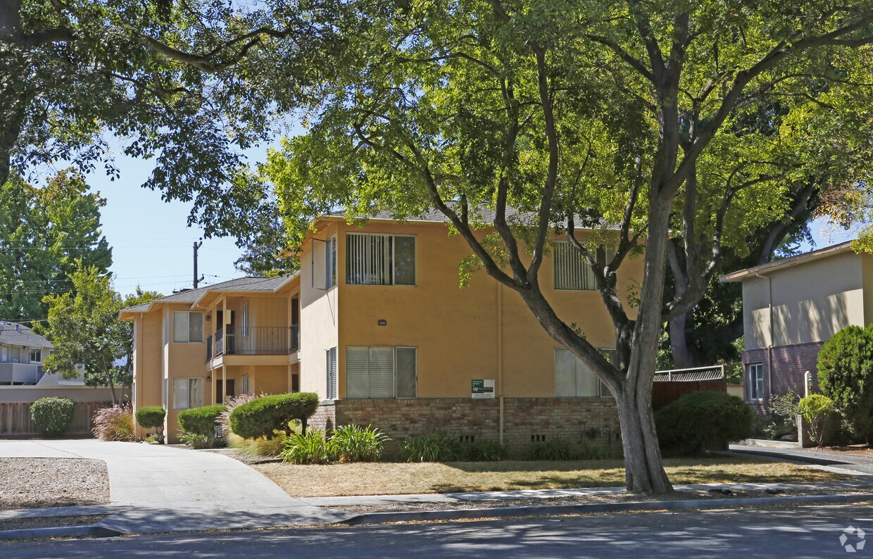
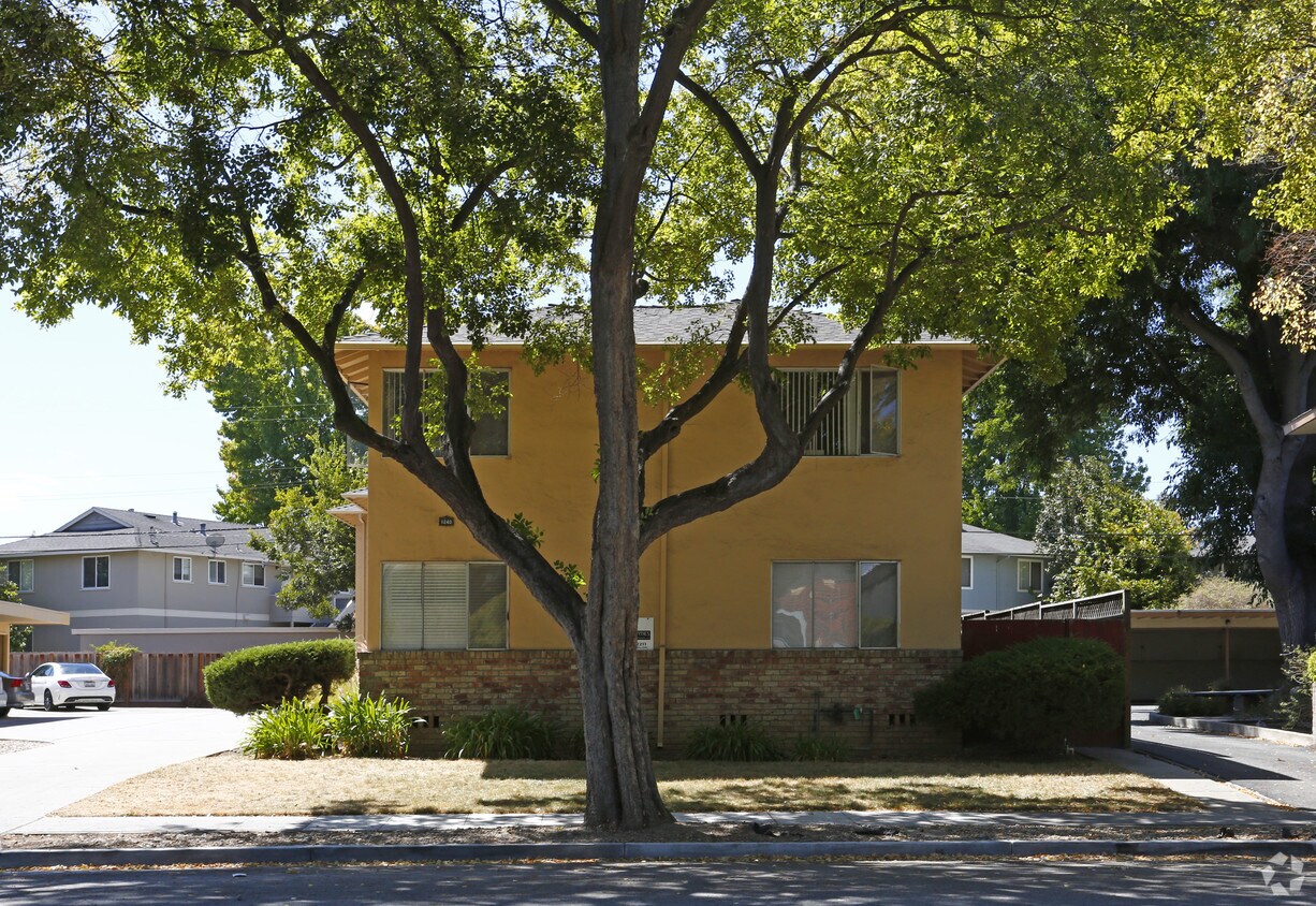
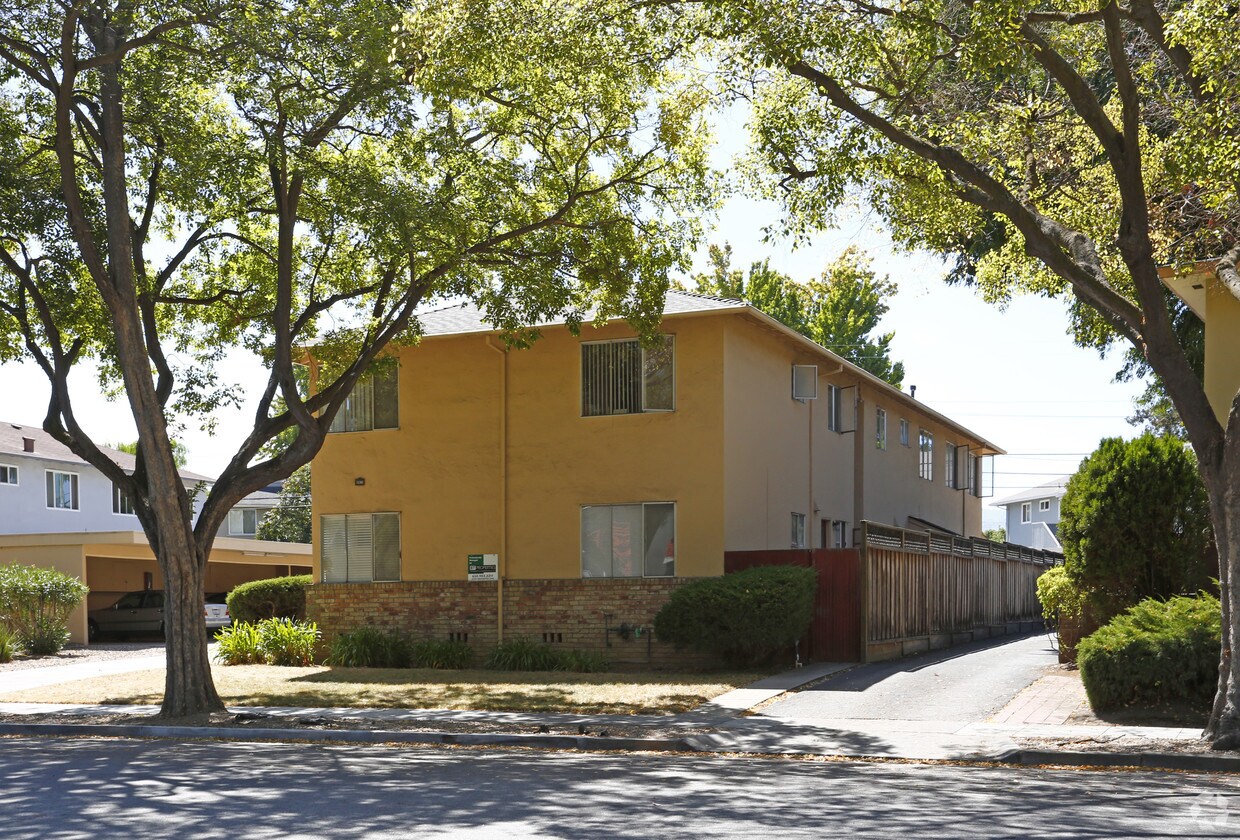
Experience Sunnyvale living at 1240 Brookfield Ave. This community is located in the Sunnyvale West area of Sunnyvale. The leasing team is available to help you find the best floor plan for your lifestyle. Providing 1 to 2 bedroom floor plans. Your new home awaits you at 1240 Brookfield Ave. Contact us or stop in to learn more about our community.
1240 Brookfield Ave is an apartment community located in Santa Clara County and the 94087 ZIP Code. This area is served by the Sunnyvale attendance zone.
Sunnyvale West is a sprawling community that makes up a large portion of the city. Surrounded by big businesses and job opportunities in Silicon Valley, Sunnyvale West is a residential haven. Known for its family-friendly atmosphere and walkable, bike-friendly streets, Sunnyvale West is a highly sought-after place to call home. Neighborhood parks are commonplace in this district, including Serra Park, Mango Park, Las Palmas Park, and Washington Park. Residents enjoy living near the heart of the city along El Camino Real, where you’ll find a variety of restaurants, grocers, car dealerships, department stores, service-based shops, and more. For more big-city amenities, locals travel roughly 40 miles north into San Francisco or 15 miles east into San Jose. There are abundant apartments, houses, condos, and townhomes available for rent in Sunnyvale West that range from mid-range to upscale.
Learn more about living in Sunnyvale WestCompare neighborhood and city base rent averages by bedroom.
| Sunnyvale West | Sunnyvale, CA | |
|---|---|---|
| Studio | $2,424 | $2,501 |
| 1 Bedroom | $2,862 | $2,919 |
| 2 Bedrooms | $3,512 | $3,713 |
| 3 Bedrooms | $4,465 | $4,624 |
| Colleges & Universities | Distance | ||
|---|---|---|---|
| Colleges & Universities | Distance | ||
| Drive: | 10 min | 4.5 mi | |
| Drive: | 13 min | 5.2 mi | |
| Drive: | 11 min | 5.5 mi | |
| Drive: | 18 min | 7.8 mi |


Transportation options available in Sunnyvale include Whisman Station, located 2.4 miles from 1240 Brookfield Ave. 1240 Brookfield Ave is near Norman Y Mineta San Jose International, located 10.0 miles or 16 minutes away, and San Francisco International, located 27.4 miles or 35 minutes away.
| Transit / Subway | Distance | ||
|---|---|---|---|
| Transit / Subway | Distance | ||
|
|
Drive: | 6 min | 2.4 mi |
|
|
Drive: | 6 min | 2.5 mi |
| Drive: | 6 min | 2.6 mi | |
|
|
Drive: | 6 min | 2.6 mi |
|
|
Drive: | 8 min | 3.4 mi |
| Commuter Rail | Distance | ||
|---|---|---|---|
| Commuter Rail | Distance | ||
| Drive: | 6 min | 2.4 mi | |
| Drive: | 5 min | 2.5 mi | |
| Drive: | 7 min | 2.7 mi | |
| Drive: | 10 min | 4.6 mi | |
| Drive: | 10 min | 5.0 mi |
| Airports | Distance | ||
|---|---|---|---|
| Airports | Distance | ||
|
Norman Y Mineta San Jose International
|
Drive: | 16 min | 10.0 mi |
|
San Francisco International
|
Drive: | 35 min | 27.4 mi |
Time and distance from 1240 Brookfield Ave.
| Shopping Centers | Distance | ||
|---|---|---|---|
| Shopping Centers | Distance | ||
| Walk: | 6 min | 0.3 mi | |
| Walk: | 9 min | 0.5 mi | |
| Walk: | 11 min | 0.6 mi |
| Parks and Recreation | Distance | ||
|---|---|---|---|
| Parks and Recreation | Distance | ||
|
Fujitsu Planetarium
|
Drive: | 10 min | 4.5 mi |
|
Redwood Grove
|
Drive: | 13 min | 4.7 mi |
|
Deer Hollow Farm
|
Drive: | 12 min | 5.1 mi |
|
Rancho San Antonio County Park
|
Drive: | 12 min | 5.2 mi |
|
Foothill College Observatory
|
Drive: | 14 min | 5.5 mi |
| Hospitals | Distance | ||
|---|---|---|---|
| Hospitals | Distance | ||
| Drive: | 5 min | 2.2 mi | |
| Drive: | 11 min | 5.0 mi | |
| Drive: | 10 min | 5.3 mi |
| Military Bases | Distance | ||
|---|---|---|---|
| Military Bases | Distance | ||
| Drive: | 10 min | 4.4 mi |
What Are Walk Score®, Transit Score®, and Bike Score® Ratings?
Walk Score® measures the walkability of any address. Transit Score® measures access to public transit. Bike Score® measures the bikeability of any address.
What is a Sound Score Rating?
A Sound Score Rating aggregates noise caused by vehicle traffic, airplane traffic and local sources

1240 Brookfield Ave
Sunnyvale, CA 94087


