
Hue39
3909 San Fernando Rd,
Glendale, CA 91204
1-2 Beds $2,550 - $2,950
Plus $100 for Utilities! Open House! Saturdays 1pm-4pm! This beautiful apartment community combines old world charm with everything new you’re looking for. Take a dip in the sparking pool or chat with neighbors in the spacious courtyard. Enjoy laundry on site and a building with access control. You’re close to transportation, shopping at the Americana and Glendale Galleria, and entertainment. This is the perfect home for you.
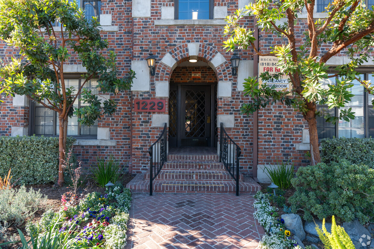
1229 South Central Ave is an apartment community located in Los Angeles County and the 91204 ZIP Code. This area is served by the Glendale Unified attendance zone.
Pool
Laundry Facilities
Controlled Access
Gated
High Speed Internet Access
Hardwood Floors
Tub/Shower
Disposal
Situated just two miles south of Downtown Glendale, Tropico is a vibrant neighborhood brimming with activity. San Fernando Road, Central Avenue, Brand Boulevard, and Los Feliz Road serve as the neighborhood’s main thoroughfares, boasting a bevy of diverse restaurants, shops, and services in a bustling locale.
Tropico’s rental options range from luxury apartments and condos to modern townhomes. Residents enjoy quick access to the sprawling Griffith Park, which neighbors the community to the west. Glendale Station is located in the neighborhood, affording many Tropico residents short commute times throughout Greater Los Angeles.
Learn more about living in Tropico| Colleges & Universities | Distance | ||
|---|---|---|---|
| Colleges & Universities | Distance | ||
| Drive: | 7 min | 3.8 mi | |
| Drive: | 9 min | 4.0 mi | |
| Drive: | 7 min | 4.4 mi | |
| Drive: | 9 min | 5.5 mi |


Transportation options available in Glendale include Vermont/Sunset Station, located 3.6 miles from 1229 South Central Ave. 1229 South Central Ave is near Bob Hope, located 10.9 miles or 16 minutes away, and Los Angeles International, located 18.8 miles or 34 minutes away.
| Transit / Subway | Distance | ||
|---|---|---|---|
| Transit / Subway | Distance | ||
|
|
Drive: | 6 min | 3.6 mi |
|
|
Drive: | 7 min | 4.1 mi |
|
|
Drive: | 7 min | 4.1 mi |
|
|
Drive: | 9 min | 5.1 mi |
|
|
Drive: | 9 min | 5.4 mi |
| Commuter Rail | Distance | ||
|---|---|---|---|
| Commuter Rail | Distance | ||
|
|
Walk: | 12 min | 0.6 mi |
|
|
Drive: | 8 min | 5.4 mi |
|
|
Drive: | 13 min | 6.6 mi |
|
|
Drive: | 12 min | 6.9 mi |
|
|
Drive: | 12 min | 8.1 mi |
| Airports | Distance | ||
|---|---|---|---|
| Airports | Distance | ||
|
Bob Hope
|
Drive: | 16 min | 10.9 mi |
|
Los Angeles International
|
Drive: | 34 min | 18.8 mi |
Time and distance from 1229 South Central Ave.
| Shopping Centers | Distance | ||
|---|---|---|---|
| Shopping Centers | Distance | ||
| Walk: | 4 min | 0.3 mi | |
| Walk: | 8 min | 0.4 mi | |
| Walk: | 8 min | 0.5 mi |
| Parks and Recreation | Distance | ||
|---|---|---|---|
| Parks and Recreation | Distance | ||
|
Marsh Park
|
Drive: | 6 min | 2.8 mi |
|
Bird Sanctuary
|
Drive: | 7 min | 3.1 mi |
|
Los Angeles Zoo
|
Drive: | 11 min | 3.7 mi |
|
Griffith Observatory
|
Drive: | 10 min | 4.3 mi |
|
Griffith Park
|
Drive: | 20 min | 6.5 mi |
| Hospitals | Distance | ||
|---|---|---|---|
| Hospitals | Distance | ||
| Walk: | 4 min | 0.2 mi | |
| Drive: | 7 min | 3.0 mi | |
| Drive: | 6 min | 3.6 mi |
| Military Bases | Distance | ||
|---|---|---|---|
| Military Bases | Distance | ||
| Drive: | 31 min | 22.5 mi |
What Are Walk Score®, Transit Score®, and Bike Score® Ratings?
Walk Score® measures the walkability of any address. Transit Score® measures access to public transit. Bike Score® measures the bikeability of any address.
What is a Sound Score Rating?
A Sound Score Rating aggregates noise caused by vehicle traffic, airplane traffic and local sources

1227-1229 S Central Ave
Glendale, CA 91204


 - Violet on Virgil")

 - AVA Burbank")


