
Fourth and U
2020 4th St,
Berkeley, CA 94710
$2,481 - $3,484
1-2 Beds
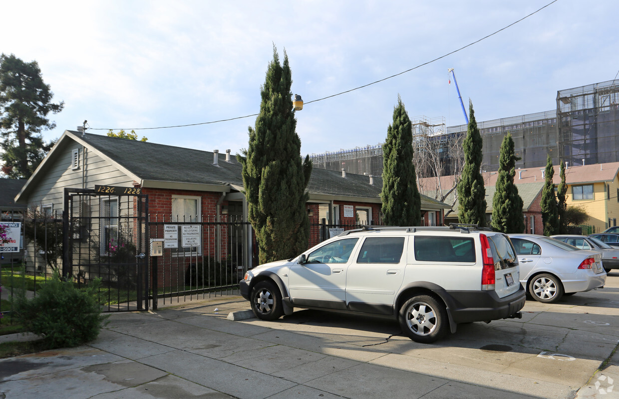
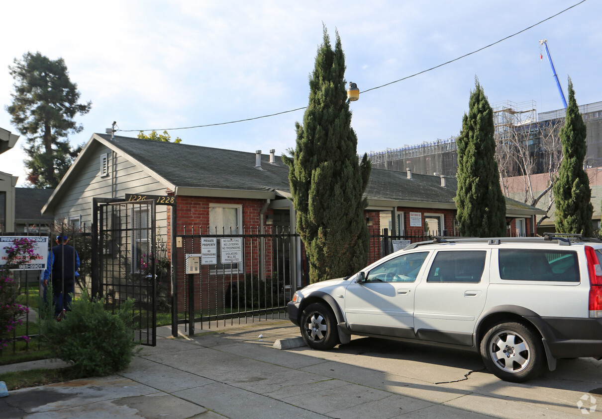

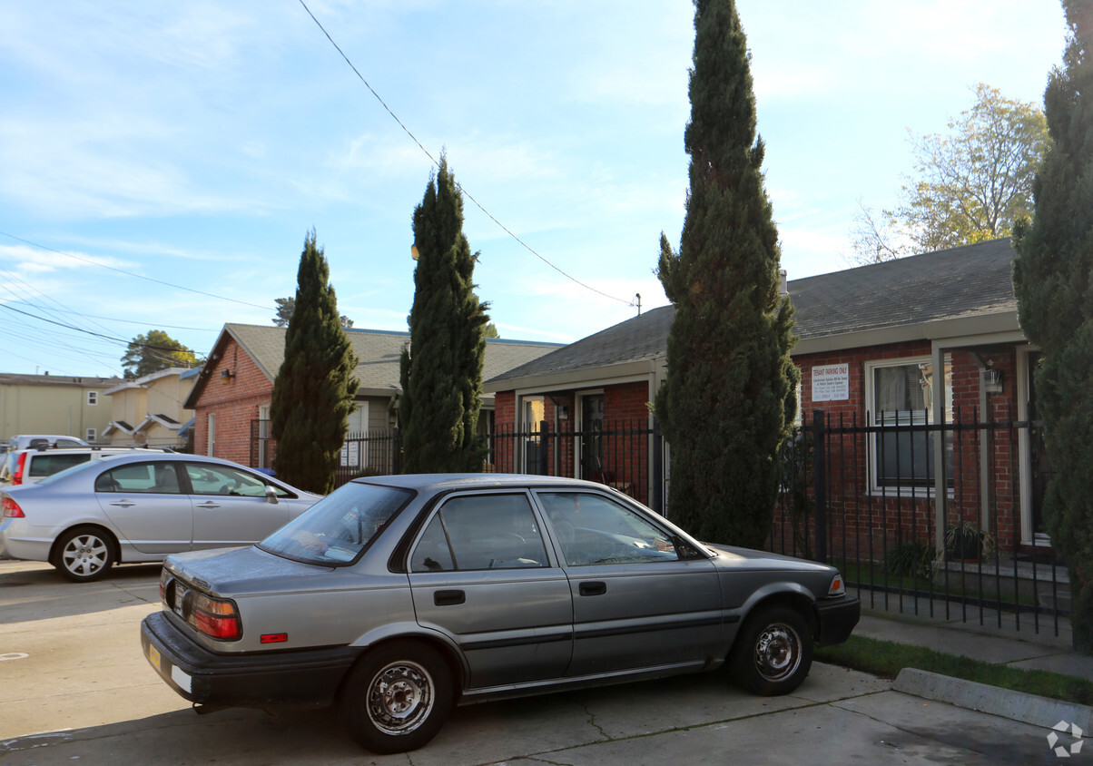
At 1226 Ashby Ave in Berkeley, CA, you've discovered your new home. This community is located on Ashby Ave in Berkeley. Come by to see the available floorplan options. The leasing staff is waiting to show you all that this community has in store. Contact us or drop by the leasing office to schedule a tour today and make your move to 1226 Ashby Ave.
1226 Ashby Ave is an apartment community located in Alameda County and the 94702 ZIP Code. This area is served by the Berkeley Unified attendance zone.
Southwest Berkeley is bounded by University Avenue to the north, Sacramento Street to the East, Alcatraz Avenue to the south and the San Francisco Bay to the west. Southwest Berkeley comprises a fascinating mix of the educational and the industrial. Less dense than the more inland parts of Berkeley, Southwest Berkeley has a diverse mix of apartment and home rentals that will delight students and families alike. Convenient access to the illustrious university make this a great option for students and staff, but any renter will love the restaurant and retail options that make this walkable locale so convenient.
Learn more about living in Southwest Berkeley| Colleges & Universities | Distance | ||
|---|---|---|---|
| Colleges & Universities | Distance | ||
| Drive: | 6 min | 2.1 mi | |
| Drive: | 8 min | 3.2 mi | |
| Drive: | 10 min | 3.4 mi | |
| Drive: | 9 min | 3.7 mi |


Transportation options available in Berkeley include Ashby Station, located 1.0 mile from 1226 Ashby Ave. 1226 Ashby Ave is near Metro Oakland International, located 14.9 miles or 23 minutes away, and San Francisco International, located 22.5 miles or 35 minutes away.
| Transit / Subway | Distance | ||
|---|---|---|---|
| Transit / Subway | Distance | ||
|
|
Walk: | 19 min | 1.0 mi |
|
|
Drive: | 5 min | 1.9 mi |
|
|
Drive: | 5 min | 2.0 mi |
|
|
Drive: | 6 min | 2.2 mi |
|
|
Drive: | 6 min | 2.2 mi |
| Commuter Rail | Distance | ||
|---|---|---|---|
| Commuter Rail | Distance | ||
|
|
Drive: | 3 min | 1.2 mi |
|
|
Drive: | 5 min | 1.8 mi |
|
|
Drive: | 11 min | 4.5 mi |
| Drive: | 13 min | 8.3 mi | |
| Drive: | 16 min | 10.1 mi |
| Airports | Distance | ||
|---|---|---|---|
| Airports | Distance | ||
|
Metro Oakland International
|
Drive: | 23 min | 14.9 mi |
|
San Francisco International
|
Drive: | 35 min | 22.5 mi |
Time and distance from 1226 Ashby Ave.
| Shopping Centers | Distance | ||
|---|---|---|---|
| Shopping Centers | Distance | ||
| Drive: | 4 min | 1.4 mi | |
| Drive: | 5 min | 1.7 mi | |
| Drive: | 8 min | 2.4 mi |
| Parks and Recreation | Distance | ||
|---|---|---|---|
| Parks and Recreation | Distance | ||
|
Strawberry Creek Park
|
Drive: | 3 min | 1.3 mi |
|
Willard Park
|
Drive: | 5 min | 1.9 mi |
|
Habitot Children's Museum
|
Drive: | 6 min | 2.0 mi |
|
McLaughlin Eastshore State Park
|
Drive: | 5 min | 2.1 mi |
|
San Francisco Bay Trail (at Emeryville)
|
Walk: | 42 min | 2.2 mi |
| Hospitals | Distance | ||
|---|---|---|---|
| Hospitals | Distance | ||
| Drive: | 5 min | 1.6 mi | |
| Drive: | 5 min | 1.8 mi | |
| Drive: | 8 min | 4.4 mi |
| Military Bases | Distance | ||
|---|---|---|---|
| Military Bases | Distance | ||
| Drive: | 14 min | 5.5 mi | |
| Drive: | 18 min | 7.2 mi |
What Are Walk Score®, Transit Score®, and Bike Score® Ratings?
Walk Score® measures the walkability of any address. Transit Score® measures access to public transit. Bike Score® measures the bikeability of any address.
What is a Sound Score Rating?
A Sound Score Rating aggregates noise caused by vehicle traffic, airplane traffic and local sources


