
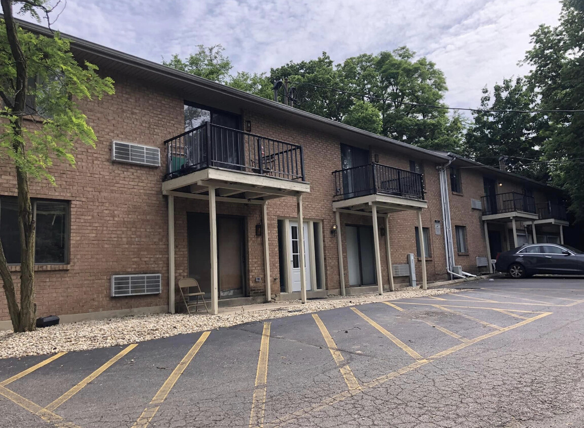
1220 E Dorothy Ln
1220 E Dorothy Ln
Kettering, OH 45419
Favorites
1220 E Dorothy Ln

Favorites
Check Back Soon for Upcoming Availability
| Beds | Baths | Average SF |
|---|---|---|
| 1 Bedroom 1 Bedroom 1 Br | 1 Bath 1 Bath 1 Ba | 500 SF |
Fees and Policies
Details
Property Information
-
15 units
1220 E Dorothy Ln,
Kettering,
OH
45419
Kettering is a large suburban community on the south side of Dayton. Primarily made up of residential neighborhoods, Kettering boasts a family-friendly environment with high-performing public schools and one of the lowest crime rates in the area while also maintaining numerous budget-friendly options across the city’s diverse rental market.
The small Kettering College serves just over 700 students at its campus on the west side, and the University of Dayton sits just north of the city limits. Locals enjoy a wide selection of outdoor recreation options, with golf courses, public parks, and even a 40,000 square foot skate plaza.
Learn more about living in Kettering
Education
| Colleges & Universities | Distance | ||
|---|---|---|---|
| Colleges & Universities | Distance | ||
| Drive: | 7 min | 3.4 mi | |
| Drive: | 10 min | 5.7 mi | |
| Drive: | 18 min | 11.5 mi | |
| Drive: | 31 min | 16.7 mi |
1220 E Dorothy Ln is within 7 minutes or 3.4 miles from University of Dayton. It is also near Sinclair Community College and Wright State University.
Walkability Near 1220 E Dorothy Ln Kettering, OH 45419
Getting Around
 What do Walkability, Transit, Drivability, and Bikeability mean?
Walkability measures the walking distance to day-to-day needs.
Transit measures access to public transportation.
Drivability measures congestion, parking availability, and access to major roads.
Bikeability measures the suitability for cycling.
How It Works
What do Walkability, Transit, Drivability, and Bikeability mean?
Walkability measures the walking distance to day-to-day needs.
Transit measures access to public transportation.
Drivability measures congestion, parking availability, and access to major roads.
Bikeability measures the suitability for cycling.
How It Works
Moderately Walkable
Walkability
60
/ 100
Limited Public Transit
Transit
30
/ 100
Exceptionally Drivable
Drivability
100
/ 100
Fairly Bikeable
Bikeability
50
/ 100
Scores provided by
-
Soundscore™
-
/ 100
Traffic
-Airport
-Businesses
-Scores provided by
HowLoud What is a Sound Score Rating? A Sound Score Rating aggregates noise caused by vehicle traffic, airplane traffic and local sources. How It WorksYou May Also Like
Similar Rentals Nearby


What Are Walk Score®, Transit Score®, and Bike Score® Ratings?
Walk Score® measures the walkability of any address. Transit Score® measures access to public transit. Bike Score® measures the bikeability of any address.
What is a Sound Score Rating?
A Sound Score Rating aggregates noise caused by vehicle traffic, airplane traffic and local sources.
1220 E Dorothy Ln
Kettering, OH 45419