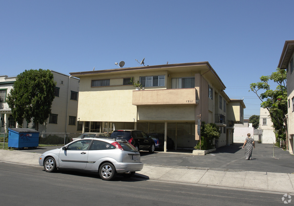
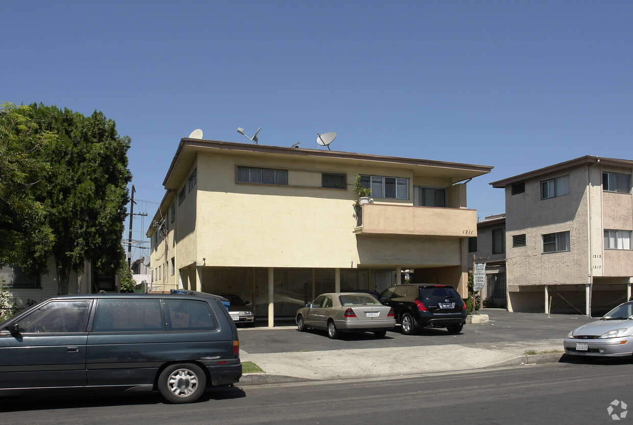
1211 Tamarind Ave
1211 Tamarind Ave,
Los Angeles,
CA
90038
2 Weeks Ago
Favorites
1211 Tamarind Ave
Favorites
Check Back Soon for Upcoming Availability
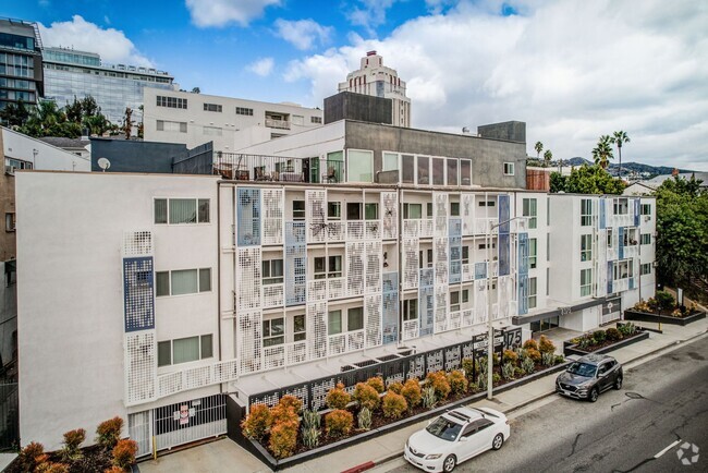
About 1211 Tamarind Ave Los Angeles, CA 90038
Consider making a move to 1211 Tamarind Ave in Los Angeles, CA. The 90038 location is an ideal place to move. Be sure to view the available floorplans. Here at this community, the community staff is ready to match you with the perfect new home. Contact us or stop by today.
1211 Tamarind Ave is an apartment community located in Los Angeles County and the 90038 ZIP Code. This area is served by the Los Angeles Unified attendance zone.
Fees and Policies
Details
Property Information
-
Built in 1958
-
8 units/2 stories
Location
Get Directions
There are numerous nicknames for Los Angeles, just as there are various vibes within this sprawling city. Between rugged mountains and sandy shorelines, a laid-back surf culture and a high-powered commercial district, and food trucks and some of the world’s top-rated restaurants, Los Angeles features diversity in every aspect possible. Somehow, all the pieces of this city fit together seamlessly, making Los Angeles the unique destination we know and love. From Rodeo Drive and Beverly Hills to Hollywood and Chinatown, there is the perfect neighborhood for everyone in Los Angeles.
From celebrity sightings to unbeatable shopping destinations, Los Angeles is hard to beat. Enjoy a hike in the Santa Monica Mountains, Griffith Park, or Topanga State Park, enjoy the famous entertainment at Universal Studios Hollywood, see the stars along the legendary Hollywood Walk of Fame, or stop into the Los Angeles County Museum of Art.
Learn more about living in Los Angeles
Education
| Colleges & Universities | Distance | ||
|---|---|---|---|
| Colleges & Universities | Distance | ||
| Walk: | 17 min | 0.9 mi | |
| Drive: | 4 min | 1.7 mi | |
| Drive: | 5 min | 2.0 mi | |
| Drive: | 7 min | 3.9 mi |
1211 Tamarind Ave is within 17 minutes or 0.9 mile from Los Angeles Film School. It is also near Musicians Institute and City College.
Schools


Charter Elementary School
Grades K-5
428 Students
Nearby
Public Elementary School
Grades K-5
193 Students
Attendance Zone
Public Middle School
Grades 6-8
659 Students
Attendance Zone
Public High School
Grades 9-12
588 Students
Attendance Zone
Public High School
Grades 9-12
692 Students
Attendance Zone
Private Elementary & Middle School
Grades PK-8
Nearby
Private Middle & High School
Grades 6-12
44 Students
Nearby
School data provided by
 The GreatSchools Rating helps parents compare schools within a state based on a variety of school quality indicators and provides a helpful picture of how effectively each school serves all of its students. Ratings are on a scale of 1 (below average) to 10 (above average) and can include test scores, college readiness, academic progress, advanced courses, equity, discipline and attendance data. We also advise parents to visit schools, consider other information on school performance and programs, and consider family needs as part of the school selection process.
View GreatSchools Rating Methodology
View GreatSchools Rating Methodology
Transportation options available in Los Angeles include Hollywood/Vine Station, located 1.0 mile from 1211 Tamarind Ave. 1211 Tamarind Ave is near Bob Hope, located 9.6 miles or 18 minutes away, and Los Angeles International, located 14.1 miles or 27 minutes away.
| Transit / Subway | Distance | ||
|---|---|---|---|
| Transit / Subway | Distance | ||
|
|
Walk: | 19 min | 1.0 mi |
|
|
Drive: | 3 min | 1.2 mi |
|
|
Drive: | 4 min | 1.7 mi |
|
|
Drive: | 4 min | 1.8 mi |
|
|
Drive: | 4 min | 1.9 mi |
| Commuter Rail | Distance | ||
|---|---|---|---|
| Commuter Rail | Distance | ||
|
|
Drive: | 10 min | 5.4 mi |
|
|
Drive: | 10 min | 6.2 mi |
|
|
Drive: | 13 min | 6.4 mi |
|
|
Drive: | 15 min | 7.5 mi |
|
|
Drive: | 17 min | 8.5 mi |
| Airports | Distance | ||
|---|---|---|---|
| Airports | Distance | ||
|
Bob Hope
|
Drive: | 18 min | 9.6 mi |
|
Los Angeles International
|
Drive: | 27 min | 14.1 mi |
Time and distance from 1211 Tamarind Ave.
| Shopping Centers | Distance | ||
|---|---|---|---|
| Shopping Centers | Distance | ||
| Walk: | 10 min | 0.6 mi | |
| Walk: | 11 min | 0.6 mi | |
| Walk: | 13 min | 0.7 mi |
1211 Tamarind Ave has 3 shopping centers within 0.7 mile, which is about a 13-minute walk. The miles and minutes will be for the farthest away property.
| Parks and Recreation | Distance | ||
|---|---|---|---|
| Parks and Recreation | Distance | ||
|
Runyon Canyon
|
Drive: | 6 min | 2.5 mi |
|
Bird Sanctuary
|
Drive: | 8 min | 3.3 mi |
|
La Brea Tar Pits
|
Drive: | 9 min | 4.2 mi |
|
Griffith Observatory
|
Drive: | 12 min | 4.5 mi |
|
Griffith Park
|
Drive: | 22 min | 7.2 mi |
1211 Tamarind Ave has 5 parks within 7.2 miles, including Runyon Canyon, Griffith Observatory, and Bird Sanctuary.
| Hospitals | Distance | ||
|---|---|---|---|
| Hospitals | Distance | ||
| Walk: | 11 min | 0.6 mi | |
| Drive: | 3 min | 1.8 mi | |
| Drive: | 4 min | 2.1 mi |
1211 Tamarind Ave has 3 hospitals within 2.1 miles, the nearest is Southern California Hospital at Hollywood which is 0.6 mile away and a 11 minute walk.
| Military Bases | Distance | ||
|---|---|---|---|
| Military Bases | Distance | ||
| Drive: | 27 min | 15.8 mi |
1211 Tamarind Ave is 15.8 miles and a 27 minute drive from Los Angeles Air Force Base.
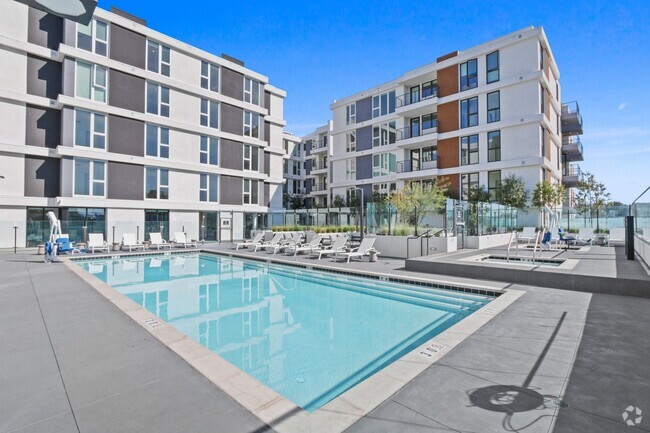
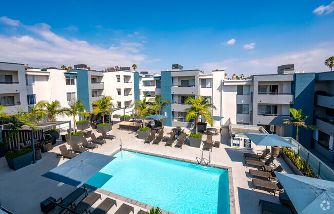
You May Also Like
Similar Rentals Nearby


What Are Walk Score®, Transit Score®, and Bike Score® Ratings?
Walk Score® measures the walkability of any address. Transit Score® measures access to public transit. Bike Score® measures the bikeability of any address.
What is a Sound Score Rating?
A Sound Score Rating aggregates noise caused by vehicle traffic, airplane traffic and local sources
Responded To This Review