
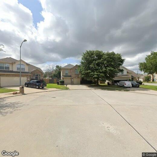
12106 Piney Way Ct
12106 Piney Way Ct
Tomball, TX 77375
Favorites
12106 Piney Way Ct

Favorites
Check Back Soon for Upcoming Availability
| Beds | Baths | Average SF |
|---|---|---|
| 3 Bedrooms 3 Bedrooms 3 Br | 2 Baths 2 Baths 2 Ba | — |
12106 Piney Way Ct,
Tomball,
TX
77375
Tomball is a thriving suburb in the Houston metropolitan area that’s known for its family-friendly atmosphere, neighborhood parks, good public schools, and close-knit community. Tomball is home to Jerry Matheson Park, the Theis Attaway Nature Center, the Tomball Railroad Depot Plaza, and more. From hospitals to shopping centers, this suburb has everything you’d need without having to leave town. Charming storefronts await in Downtown Tomball that house small businesses like restaurants, specialty shops, art galleries, a community center, a live music venue, and more. Tomball sits about 30 miles northwest of Downtown Houston, so residents can easily travel into the city for work or leisure.
Learn more about living in Tomball
Education
| Colleges & Universities | Distance | ||
|---|---|---|---|
| Colleges & Universities | Distance | ||
| Drive: | 30 min | 20.5 mi | |
| Drive: | 40 min | 27.0 mi | |
| Drive: | 37 min | 28.8 mi | |
| Drive: | 40 min | 29.2 mi |
12106 Piney Way Ct is within 30 minutes or 20.5 miles from Lone Star College. It is also near Houston Community College and The Art Institute of Houston.
Walkability Near 12106 Piney Way Ct Tomball, TX 77375
Getting Around
 What do Walkability, Transit, Drivability, and Bikeability mean?
Walkability measures the walking distance to day-to-day needs.
Transit measures access to public transportation.
Drivability measures congestion, parking availability, and access to major roads.
Bikeability measures the suitability for cycling.
How It Works
What do Walkability, Transit, Drivability, and Bikeability mean?
Walkability measures the walking distance to day-to-day needs.
Transit measures access to public transportation.
Drivability measures congestion, parking availability, and access to major roads.
Bikeability measures the suitability for cycling.
How It Works
Somewhat Walkable
Walkability
30
/ 100
Very Drivable
Drivability
80
/ 100
Fairly Bikeable
Bikeability
50
/ 100
Scores provided by
-
Soundscore™
-
/ 100
Traffic
-Airport
-Businesses
-Scores provided by
HowLoud What is a Sound Score Rating? A Sound Score Rating aggregates noise caused by vehicle traffic, airplane traffic and local sources. How It WorksYou May Also Like
Similar Rentals Nearby
-
-
3 Beds$2,097+4 Beds$2,296+Total Monthly PriceTotal Monthly Price NewPrices include base rent and required monthly fees. Variable costs based on usage may apply.2 Months Free
Pets Allowed Fitness Center Pool
-
-
3 Beds$2,300+Total Monthly PriceTotal Monthly Price NewPrices include base rent and required monthly fees. Variable costs based on usage may apply.
Pets Allowed Pool Dishwasher Refrigerator Kitchen In Unit Washer & Dryer
-
-
-
-
-
-


What Are Walk Score®, Transit Score®, and Bike Score® Ratings?
Walk Score® measures the walkability of any address. Transit Score® measures access to public transit. Bike Score® measures the bikeability of any address.
What is a Sound Score Rating?
A Sound Score Rating aggregates noise caused by vehicle traffic, airplane traffic and local sources.
12106 Piney Way Ct
Tomball, TX 77375