
Hue39
3909 San Fernando Rd,
Glendale, CA 91204
1-2 Beds $2,550 - $3,550

Bedrooms
1 bd
Bathrooms
1 ba
Square Feet
675 sq ft
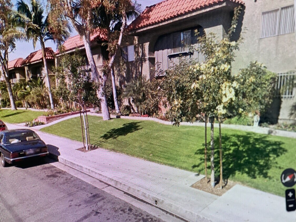
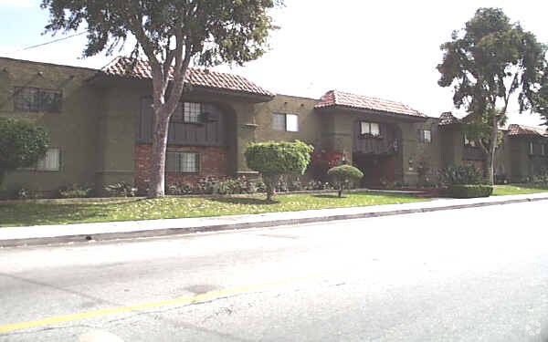
Glendale’s Adams Hill neighborhood is stunning. Spanish-style homes with tile roofs dot the palm-tree-laden hills with sculpted mountains visible in the background. This picture-perfect neighborhood is located on the south side of Downtown Glendale, roughly between Chevy Chase Drive and Cathedral Drive.
This neighborhood sits seven miles directly north of Downtown Los Angeles, with Interstate 5 leading right into the city. Griffith Park, home of the Los Angeles Zoo and several other renowned attractions, is to the west of the neighborhood.
The famous Forest Lawn Memorial Park is partially located here. This cemetery houses a world-renowned art museum, awe-inspiring statuary, and the Hall of the Crucifixion-Resurrection in addition to serving as the final resting place of several notable celebrities.
Learn more about living in Adams Hill| Colleges & Universities | Distance | ||
|---|---|---|---|
| Colleges & Universities | Distance | ||
| Drive: | 8 min | 2.8 mi | |
| Drive: | 6 min | 3.0 mi | |
| Drive: | 10 min | 5.4 mi | |
| Drive: | 16 min | 8.2 mi |


Transportation options available in Glendale include Southwest Museum Station, located 4.2 miles from 120 - 801 E Palmer Ave. 120 - 801 E Palmer Ave is near Bob Hope, located 11.6 miles or 18 minutes away, and Los Angeles International, located 21.6 miles or 36 minutes away.
| Transit / Subway | Distance | ||
|---|---|---|---|
| Transit / Subway | Distance | ||
|
|
Drive: | 10 min | 4.2 mi |
|
|
Drive: | 10 min | 4.3 mi |
|
|
Drive: | 9 min | 4.6 mi |
|
|
Drive: | 9 min | 4.8 mi |
|
|
Drive: | 11 min | 5.8 mi |
| Commuter Rail | Distance | ||
|---|---|---|---|
| Commuter Rail | Distance | ||
|
|
Drive: | 4 min | 1.5 mi |
|
|
Drive: | 10 min | 6.1 mi |
|
|
Drive: | 16 min | 7.2 mi |
|
|
Drive: | 14 min | 7.5 mi |
| Drive: | 18 min | 11.6 mi |
| Airports | Distance | ||
|---|---|---|---|
| Airports | Distance | ||
|
Bob Hope
|
Drive: | 18 min | 11.6 mi |
|
Los Angeles International
|
Drive: | 36 min | 21.6 mi |
Time and distance from 120 - 801 E Palmer Ave.
| Shopping Centers | Distance | ||
|---|---|---|---|
| Shopping Centers | Distance | ||
| Walk: | 9 min | 0.5 mi | |
| Walk: | 9 min | 0.5 mi | |
| Walk: | 10 min | 0.5 mi |
| Parks and Recreation | Distance | ||
|---|---|---|---|
| Parks and Recreation | Distance | ||
|
Marsh Park
|
Drive: | 9 min | 3.4 mi |
|
Elyria Canyon Park
|
Drive: | 9 min | 3.4 mi |
|
Bird Sanctuary
|
Drive: | 10 min | 4.1 mi |
|
Los Angeles Zoo
|
Drive: | 14 min | 4.7 mi |
|
Griffith Observatory
|
Drive: | 13 min | 5.3 mi |
| Hospitals | Distance | ||
|---|---|---|---|
| Hospitals | Distance | ||
| Drive: | 3 min | 1.3 mi | |
| Drive: | 6 min | 2.2 mi | |
| Drive: | 9 min | 4.6 mi |
| Military Bases | Distance | ||
|---|---|---|---|
| Military Bases | Distance | ||
| Drive: | 33 min | 23.1 mi |
What Are Walk Score®, Transit Score®, and Bike Score® Ratings?
Walk Score® measures the walkability of any address. Transit Score® measures access to public transit. Bike Score® measures the bikeability of any address.
What is a Sound Score Rating?
A Sound Score Rating aggregates noise caused by vehicle traffic, airplane traffic and local sources
801 E Palmer Ave
Glendale, CA 91205


 - Violet on Virgil")
 - AVA Burbank")


