$3,300 / Month
12 Magdala St Unit 1
Boston, MA 02124
2 Weeks Ago
Favorites
12 Magdala St Unit 1

Favorites
Check Back Soon for Upcoming Availability
| Beds | Baths | Average SF |
|---|---|---|
| 3 Bedrooms 3 Bedrooms 3 Br | 1 Bath 1 Bath 1 Ba | 9,999 SF |
Fees and Policies
The fees below are based on community-supplied data and may exclude additional fees and utilities.
- Parking
-
Other--
Details
Utilities Included
-
Water
-
Sewer
About This Property
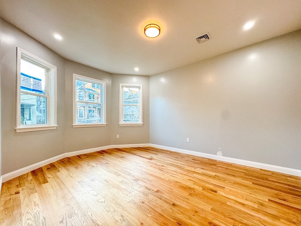
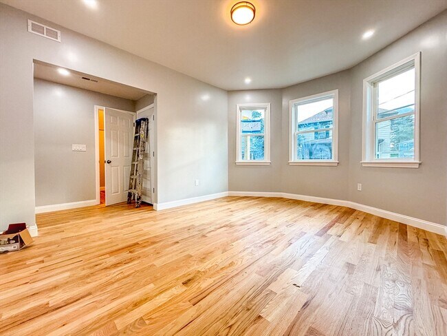
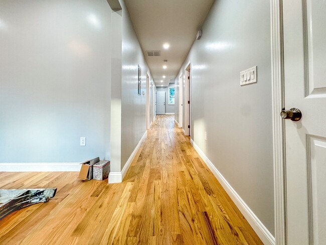
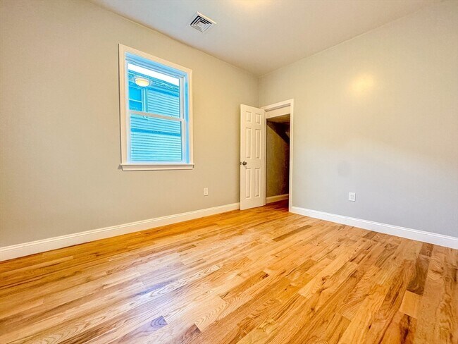
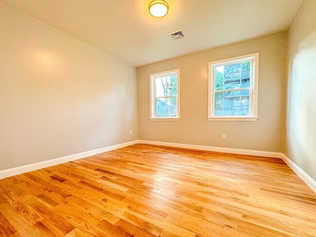
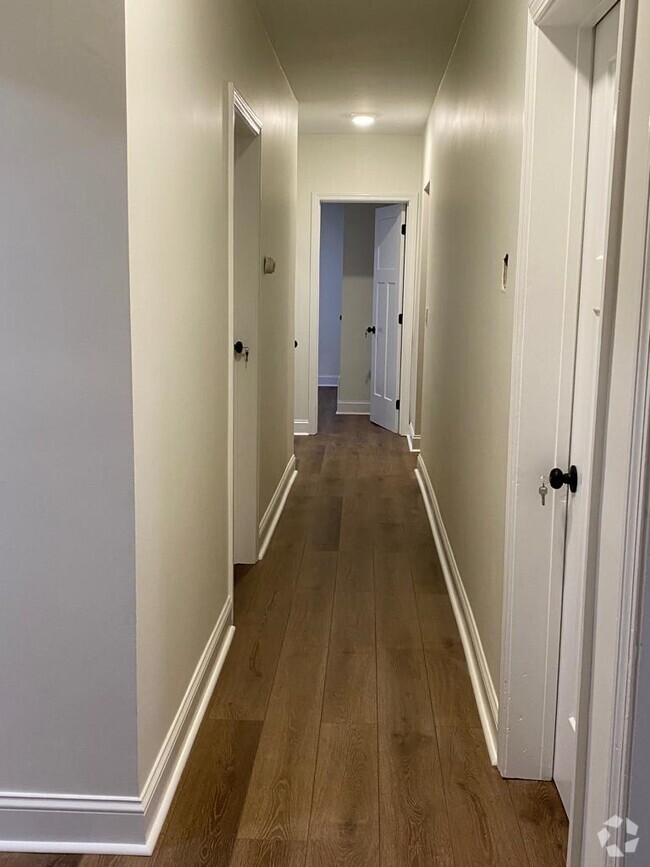
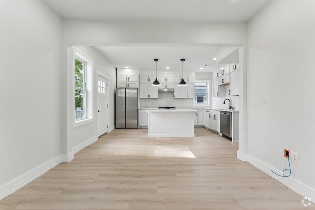
Check out your new rental in Boston, MA. This rental can be found at 12 Magdala St in the Ashmont area of Boston. End your search and get to moving. To learn more about this property, contact us.
12 Magdala St is a condo located in Suffolk County and the 02124 ZIP Code. This area is served by the Boston Public Schools attendance zone.
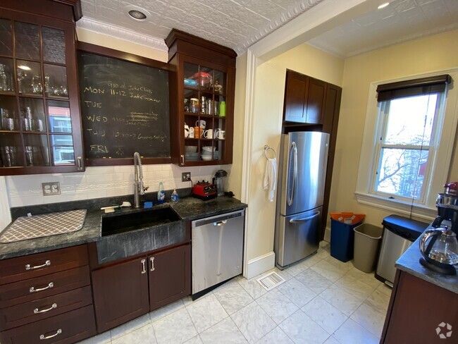
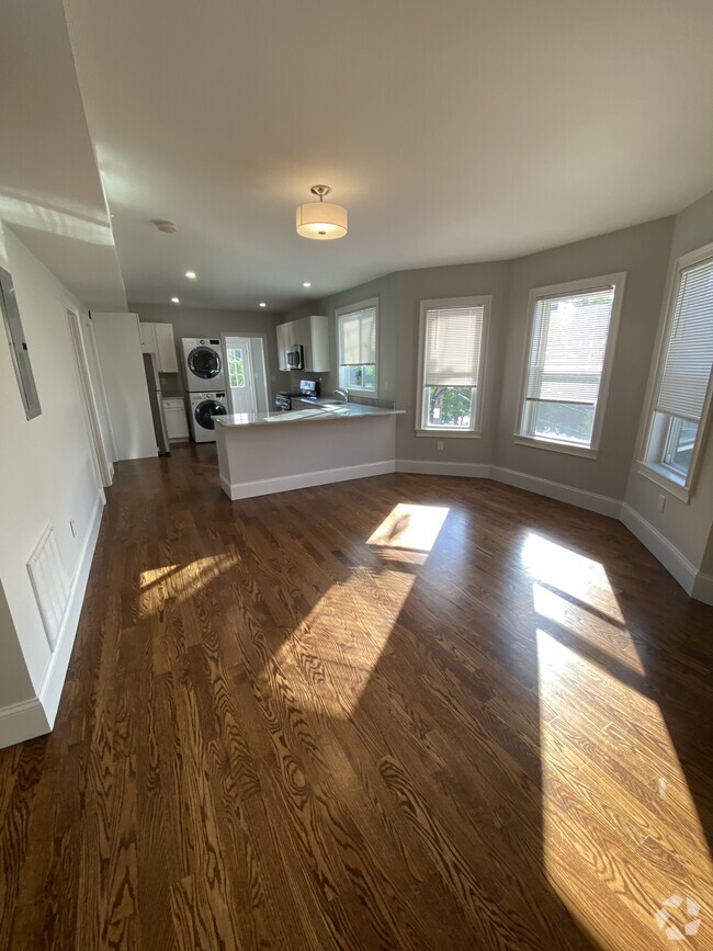
Condo Features
- Washer/Dryer
- Dishwasher
Location
Get Directions
Ashmont is a charming suburban district on the southern end of Boston’s Dorchester area. Several public parks are easily accessible from anywhere in the neighborhood, including the huge Dorchester Park to the south and Roberts Playground on the west side.
Walking to the numerous schools and libraries is a breeze, and the rows of shops, cafes, and pubs along Adams Street and Dorchester Avenue can be quickly reached on foot as well. With Carney Hospital nearby, Ashmont is an excellent location for healthcare professionals.
Downtown Boston is only about twenty minutes away by car, and MBTA Red Line service puts the whole city at your fingertips even without the use of a personal vehicle.
Learn more about living in AshmontBelow are rent ranges for similar nearby apartments
| Beds | Average Size | Lowest | Typical | Premium |
|---|---|---|---|---|
| Studio Studio Studio | 541-542 Sq Ft | $2,050 | $2,345 | $3,250 |
| 1 Bed 1 Bed 1 Bed | 835-837 Sq Ft | $2,120 | $2,667 | $3,905 |
| 2 Beds 2 Beds 2 Beds | 2836-2838 Sq Ft | $2,300 | $3,142 | $5,200 |
| 3 Beds 3 Beds 3 Beds | 3189 Sq Ft | $1,250 | $3,295 | $6,900 |
| 4 Beds 4 Beds 4 Beds | 5288 Sq Ft | $3,300 | $4,650 | $5,000 |
Amenities
- Washer/Dryer
- Dishwasher
Expenses
Utilities Included
Water, Sewer
Included
Education
| Colleges & Universities | Distance | ||
|---|---|---|---|
| Colleges & Universities | Distance | ||
| Drive: | 8 min | 4.0 mi | |
| Drive: | 12 min | 5.3 mi | |
| Drive: | 10 min | 5.9 mi | |
| Drive: | 12 min | 6.4 mi |
12 Magdala St Unit 1 is within 8 minutes or 4.0 miles from UMass Boston. It is also near Curry College and Northeastern University.
Schools


Public Elementary School
Grades PK-3
187 Students
Attendance Zone
Public Elementary, Middle & High School
Grades 2-12
666 Students
Attendance Zone
Public Middle & High School
Grades 6-12
541 Students
Attendance Zone
Public Middle & High School
Grades 6-12
871 Students
Attendance Zone
Public High School
Grades 9-12
42 Students
Attendance Zone
Public High School
Grades 9-12
472 Students
Attendance Zone
Private Elementary & Middle School
Grades 5-8
86 Students
Nearby
Private Elementary School
Grades PK-6
206 Students
Nearby
Private High School
Grades 9-12
95 Students
Nearby
School data provided by
 The GreatSchools Rating helps parents compare schools within a state based on a variety of school quality indicators and provides a helpful picture of how effectively each school serves all of its students. Ratings are on a scale of 1 (below average) to 10 (above average) and can include test scores, college readiness, academic progress, advanced courses, equity, discipline and attendance data. We also advise parents to visit schools, consider other information on school performance and programs, and consider family needs as part of the school selection process.
View GreatSchools Rating Methodology
View GreatSchools Rating Methodology
Transportation options available in Boston include Ashmont Station, located 0.3 mile from 12 Magdala St Unit 1. 12 Magdala St Unit 1 is near General Edward Lawrence Logan International, located 9.3 miles or 16 minutes away.
| Transit / Subway | Distance | ||
|---|---|---|---|
| Transit / Subway | Distance | ||
|
|
Walk: | 5 min | 0.3 mi |
|
|
Walk: | 7 min | 0.4 mi |
|
|
Walk: | 17 min | 0.9 mi |
|
|
Walk: | 18 min | 1.0 mi |
|
|
Drive: | 3 min | 1.3 mi |
| Commuter Rail | Distance | ||
|---|---|---|---|
| Commuter Rail | Distance | ||
|
|
Drive: | 2 min | 1.3 mi |
| Drive: | 3 min | 1.5 mi | |
| Drive: | 5 min | 2.4 mi | |
| Drive: | 6 min | 2.5 mi | |
|
|
Drive: | 7 min | 3.3 mi |
| Airports | Distance | ||
|---|---|---|---|
| Airports | Distance | ||
|
General Edward Lawrence Logan International
|
Drive: | 16 min | 9.3 mi |
Time and distance from 12 Magdala St Unit 1.
| Shopping Centers | Distance | ||
|---|---|---|---|
| Shopping Centers | Distance | ||
| Drive: | 2 min | 1.1 mi | |
| Drive: | 3 min | 1.2 mi | |
| Drive: | 3 min | 1.4 mi |
12 Magdala St Unit 1 has 3 shopping centers within 1.4 miles, which is about a 3-minute drive. The miles and minutes will be for the farthest away property.
| Parks and Recreation | Distance | ||
|---|---|---|---|
| Parks and Recreation | Distance | ||
|
Mass Audubon's Boston Nature Center and Wildlife Sanctuary
|
Drive: | 5 min | 2.5 mi |
|
Franklin Park Zoo
|
Drive: | 5 min | 3.1 mi |
|
Squantum Point Park
|
Drive: | 8 min | 3.3 mi |
|
Lower Neponset River Trail
|
Drive: | 5 min | 3.3 mi |
|
Dorchester Shores Reservation
|
Drive: | 7 min | 3.9 mi |
12 Magdala St Unit 1 has 5 parks within 3.9 miles, including Franklin Park Zoo, Lower Neponset River Trail, and Mass Audubon's Boston Nature Center and Wildlife Sanctuary.
| Hospitals | Distance | ||
|---|---|---|---|
| Hospitals | Distance | ||
| Walk: | 6 min | 0.4 mi | |
| Drive: | 5 min | 2.5 mi | |
| Drive: | 8 min | 5.4 mi |
12 Magdala St Unit 1 has 3 hospitals within 5.4 miles, the nearest is Carney Hospital which is 0.4 mile away and a 6 minute walk.
You May Also Like
Similar Rentals Nearby

What Are Walk Score®, Transit Score®, and Bike Score® Ratings?
Walk Score® measures the walkability of any address. Transit Score® measures access to public transit. Bike Score® measures the bikeability of any address.
What is a Sound Score Rating?
A Sound Score Rating aggregates noise caused by vehicle traffic, airplane traffic and local sources

12 Magdala St
Boston, MA 02124