
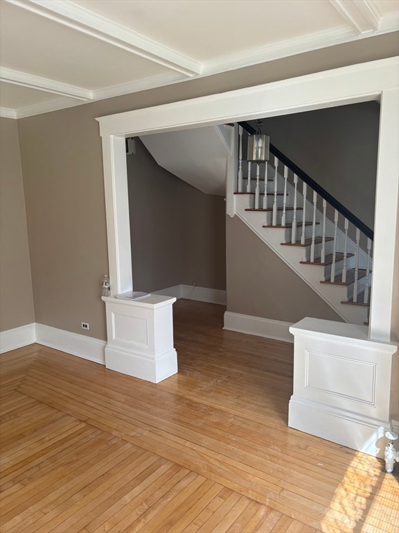
12 Clark St Unit 1
Framingham, MA 01702
-
Bedrooms
3
-
Bathrooms
1.5
-
Square Feet
1,700 sq ft
-
Available
Available Now

12 Clark St is a condo located in Middlesex County and the 01702 ZIP Code. This area is served by the Framingham attendance zone.
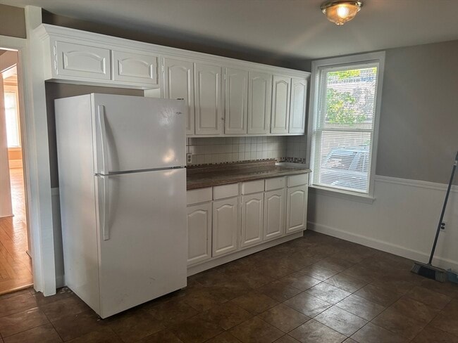
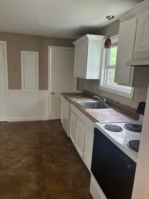
Condo Features
- Dishwasher
Fees and Policies
The fees below are based on community-supplied data and may exclude additional fees and utilities.
Details
Utilities Included
-
Water
-
Sewer
Contact
- Contact
Just west of Boston and East of Worcester sits Metro West, a region that houses a group of towns and cities with significant historical backgrounds. A total of 19 municipalities make up the core of this community, but other municipalities are considered to be a part of the Interstate 495/Metro West Corridor.
Learn more about living in Metro West| Colleges & Universities | Distance | ||
|---|---|---|---|
| Colleges & Universities | Distance | ||
| Drive: | 5 min | 2.1 mi | |
| Drive: | 15 min | 6.4 mi | |
| Drive: | 17 min | 9.2 mi | |
| Drive: | 22 min | 12.4 mi |


View GreatSchools Rating Methodology
Data provided by GreatSchools.org © 2025. All rights reserved.
Transportation options available in Framingham include Woodland Station, located 10.5 miles from 12 Clark St Unit 1. 12 Clark St Unit 1 is near General Edward Lawrence Logan International, located 24.5 miles or 37 minutes away, and Worcester Regional, located 26.1 miles or 45 minutes away.
| Transit / Subway | Distance | ||
|---|---|---|---|
| Transit / Subway | Distance | ||
|
|
Drive: | 18 min | 10.5 mi |
|
|
Drive: | 20 min | 11.2 mi |
|
|
Drive: | 19 min | 11.4 mi |
| Commuter Rail | Distance | ||
|---|---|---|---|
| Commuter Rail | Distance | ||
|
|
Walk: | 12 min | 0.6 mi |
|
|
Walk: | 14 min | 0.7 mi |
|
|
Drive: | 4 min | 1.5 mi |
|
|
Drive: | 8 min | 3.9 mi |
|
|
Drive: | 15 min | 5.0 mi |
| Airports | Distance | ||
|---|---|---|---|
| Airports | Distance | ||
|
General Edward Lawrence Logan International
|
Drive: | 37 min | 24.5 mi |
|
Worcester Regional
|
Drive: | 45 min | 26.1 mi |
Time and distance from 12 Clark St Unit 1.
| Shopping Centers | Distance | ||
|---|---|---|---|
| Shopping Centers | Distance | ||
| Walk: | 6 min | 0.3 mi | |
| Walk: | 13 min | 0.7 mi | |
| Drive: | 3 min | 1.1 mi |
| Parks and Recreation | Distance | ||
|---|---|---|---|
| Parks and Recreation | Distance | ||
|
Callahan State Park
|
Drive: | 8 min | 4.2 mi |
|
Cowassock Woods and Ashland Town Forest
|
Drive: | 10 min | 4.3 mi |
|
Hop Brook Natural Area
|
Drive: | 9 min | 4.4 mi |
|
Ashland State Park
|
Drive: | 12 min | 5.0 mi |
|
Cochituate State Park
|
Drive: | 18 min | 10.9 mi |
| Hospitals | Distance | ||
|---|---|---|---|
| Hospitals | Distance | ||
| Walk: | 7 min | 0.4 mi | |
| Drive: | 17 min | 10.3 mi | |
| Drive: | 19 min | 11.1 mi |
| Military Bases | Distance | ||
|---|---|---|---|
| Military Bases | Distance | ||
| Drive: | 8 min | 3.9 mi | |
| Drive: | 33 min | 17.0 mi |
- Dishwasher
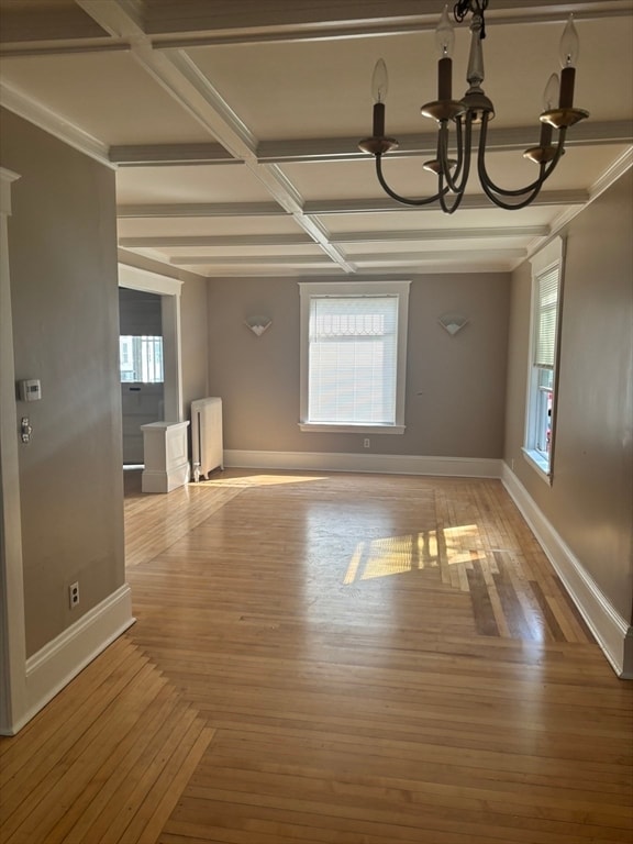
12 Clark St Unit 1 Photos
What Are Walk Score®, Transit Score®, and Bike Score® Ratings?
Walk Score® measures the walkability of any address. Transit Score® measures access to public transit. Bike Score® measures the bikeability of any address.
What is a Sound Score Rating?
A Sound Score Rating aggregates noise caused by vehicle traffic, airplane traffic and local sources
12 Clark St
Framingham, MA 01702