
Halletts Point
10, 20, 30 Halletts Pt,
Astoria, NY 11102
$2,677 - $7,853
Studio - 2 Beds
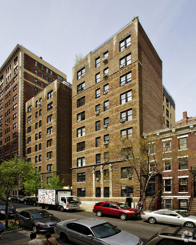
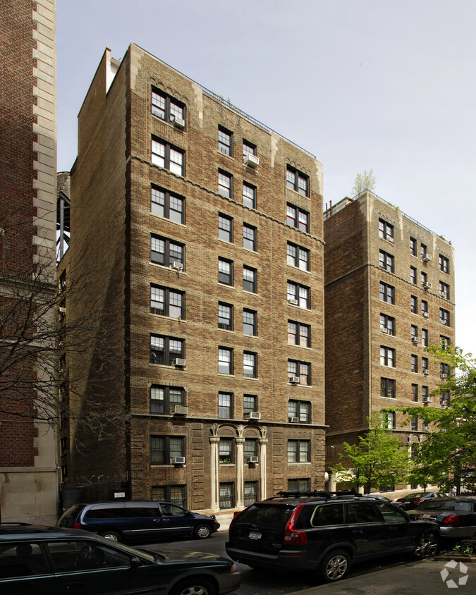
Thanks for your interest in 115 E 92nd St. This community is located in the Carnegie Hill area of New York. The leasing team is available to help you find your perfect home. Stop looking and get moving. Contact or stop by the 115 E 92nd St leasing office to see available floor plans.
115 E 92Nd St is an apartment community located in New York County and the 10128 ZIP Code. This area is served by the New York City Geographic District # 2 attendance zone.
Air Conditioning
Dishwasher
Microwave
Refrigerator
New York City has it all, from iconic landmarks to industry powerhouses to every type of cuisine you can imagine. Here, staples of the American image are everywhere: the Statue of Liberty, Times Square, Broadway, Central Park, an unparalleled skyline, and dynamic neighborhoods teeming with diverse cultures and activities.
All the perks of living in the Greatest City in the World come with a price tag to match. The cost of living in New York City is the second highest in the nation. Those living in New York City tend to earn higher salaries, in addition to having a walkable lifestyle with quick access to the subway (and less of the fees and maintenance associated with car ownership). There are other ways to curb living expenses, such as looking in more affordable neighborhoods or renting with a roommate.
If you find an apartment you like in New York City, you’ll want to act fast. The vacancy rate is only around 2.
Learn more about living in New YorkCompare neighborhood and city base rent averages by bedroom.
| Carnegie Hill | New York, NY | |
|---|---|---|
| Studio | $2,769 | $3,273 |
| 1 Bedroom | $3,378 | $4,033 |
| 2 Bedrooms | $4,946 | $5,506 |
| 3 Bedrooms | $9,674 | $7,027 |
| Colleges & Universities | Distance | ||
|---|---|---|---|
| Colleges & Universities | Distance | ||
| Drive: | 5 min | 1.4 mi | |
| Drive: | 5 min | 1.4 mi | |
| Drive: | 5 min | 1.7 mi | |
| Drive: | 8 min | 3.0 mi |


Transportation options available in New York include 96 Street (4,6 Line), located 0.2 mile from 115 E 92nd St. 115 E 92nd St is near LaGuardia, located 7.5 miles or 16 minutes away, and Newark Liberty International, located 17.2 miles or 28 minutes away.
| Transit / Subway | Distance | ||
|---|---|---|---|
| Transit / Subway | Distance | ||
|
|
Walk: | 4 min | 0.2 mi |
|
|
Walk: | 6 min | 0.3 mi |
| Walk: | 8 min | 0.5 mi | |
| Walk: | 11 min | 0.6 mi | |
|
|
Walk: | 11 min | 0.6 mi |
| Commuter Rail | Distance | ||
|---|---|---|---|
| Commuter Rail | Distance | ||
|
|
Drive: | 5 min | 2.0 mi |
|
|
Drive: | 8 min | 2.8 mi |
|
|
Drive: | 8 min | 3.0 mi |
|
|
Drive: | 12 min | 4.3 mi |
|
|
Drive: | 12 min | 5.6 mi |
| Airports | Distance | ||
|---|---|---|---|
| Airports | Distance | ||
|
LaGuardia
|
Drive: | 16 min | 7.5 mi |
|
Newark Liberty International
|
Drive: | 28 min | 17.2 mi |
Time and distance from 115 E 92nd St.
| Shopping Centers | Distance | ||
|---|---|---|---|
| Shopping Centers | Distance | ||
| Drive: | 5 min | 1.9 mi | |
| Drive: | 6 min | 2.7 mi | |
| Drive: | 12 min | 5.7 mi |
| Parks and Recreation | Distance | ||
|---|---|---|---|
| Parks and Recreation | Distance | ||
|
Carl Schurz Park
|
Walk: | 19 min | 1.0 mi |
|
John Jay Park
|
Drive: | 5 min | 1.5 mi |
|
Dana Discovery Center
|
Drive: | 4 min | 1.6 mi |
|
American Museum of Natural History
|
Drive: | 5 min | 1.7 mi |
|
Thomas Jefferson Park
|
Drive: | 5 min | 2.1 mi |
| Hospitals | Distance | ||
|---|---|---|---|
| Hospitals | Distance | ||
| Walk: | 14 min | 0.7 mi | |
| Walk: | 16 min | 0.8 mi | |
| Drive: | 5 min | 1.3 mi |
| Military Bases | Distance | ||
|---|---|---|---|
| Military Bases | Distance | ||
| Drive: | 20 min | 9.6 mi | |
| Drive: | 26 min | 13.5 mi |
What Are Walk Score®, Transit Score®, and Bike Score® Ratings?
Walk Score® measures the walkability of any address. Transit Score® measures access to public transit. Bike Score® measures the bikeability of any address.
What is a Sound Score Rating?
A Sound Score Rating aggregates noise caused by vehicle traffic, airplane traffic and local sources

115 E 92nd St
New York, NY 10128


