
18822 Lewiston Ave
18822 Lewiston Ave,
Queens, NY 11412
5 Beds $5,149
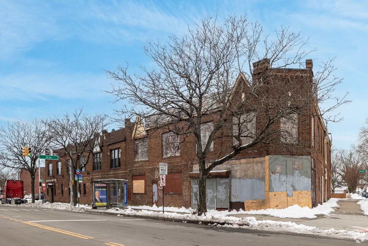

Discover your new apartment at 11302-06 Farmers Blvd. This property is situated in the St Albans area of Saint Albans. From amenities to availability, the leasing team will assist you in finding the best floor plan for your lifestyle. So get a head start on your move. Contact or stop by 11302-06 Farmers Blvd to learn more about our community!
11302-06 Farmers Blvd is an apartment community located in Queens County and the 11412 ZIP Code. This area is served by the New York City Geographic District #29 attendance zone.
Air Conditioning
Refrigerator
Tub/Shower
Heating
Located between Jamaica and Hollis, Saint Albans is a small community and neighborhood in the iconic Queens borough. Similar to Queens, this semi-urban community has a rich history and culture. Saint Albans was once an upscale enclave for jazz’s biggest stars including Ella Fitzgerald and Count Basie. Saint Albans is accredited as one of the birthplaces of hip-hop and rap genres, and several award-winning rappers lived here as well. Today, the community continues to honor Saint Albans role as a cultural hub.
Travel along Linden or Farmers Boulevard for easy access to some of the best Caribbean eateries in the city, watch a play by the Black Spectrum Theater Company in Roy Wilkins Park, or dance at music festivals like Irie Jamboree — a celebration of reggae and dancehall. And if you need even more options, just grab a ride at the subway station and you’ll have easy access to the rest of the Big Apple within minutes.
Learn more about living in Saint Albans| Colleges & Universities | Distance | ||
|---|---|---|---|
| Colleges & Universities | Distance | ||
| Drive: | 4 min | 2.1 mi | |
| Drive: | 10 min | 3.0 mi | |
| Drive: | 12 min | 5.6 mi | |
| Drive: | 14 min | 8.3 mi |


Transportation options available in Saint Albans include Jamaica-179 Street, located 1.8 miles from 11302-06 Farmers Blvd. 11302-06 Farmers Blvd is near John F Kennedy International, located 5.6 miles or 12 minutes away, and LaGuardia, located 10.2 miles or 18 minutes away.
| Transit / Subway | Distance | ||
|---|---|---|---|
| Transit / Subway | Distance | ||
|
|
Drive: | 5 min | 1.8 mi |
|
|
Drive: | 5 min | 2.4 mi |
|
|
Drive: | 5 min | 2.4 mi |
|
|
Drive: | 6 min | 2.7 mi |
|
|
Drive: | 6 min | 3.0 mi |
| Commuter Rail | Distance | ||
|---|---|---|---|
| Commuter Rail | Distance | ||
|
|
Walk: | 11 min | 0.6 mi |
|
|
Walk: | 19 min | 1.0 mi |
|
|
Walk: | 19 min | 1.0 mi |
|
|
Drive: | 4 min | 2.0 mi |
|
|
Drive: | 7 min | 2.6 mi |
| Airports | Distance | ||
|---|---|---|---|
| Airports | Distance | ||
|
John F Kennedy International
|
Drive: | 12 min | 5.6 mi |
|
LaGuardia
|
Drive: | 18 min | 10.2 mi |
Time and distance from 11302-06 Farmers Blvd.
| Shopping Centers | Distance | ||
|---|---|---|---|
| Shopping Centers | Distance | ||
| Drive: | 4 min | 1.8 mi | |
| Drive: | 6 min | 2.3 mi | |
| Drive: | 6 min | 2.4 mi |
| Parks and Recreation | Distance | ||
|---|---|---|---|
| Parks and Recreation | Distance | ||
|
Roy Wilkins Recreation Center
|
Walk: | 20 min | 1.1 mi |
|
Detective Keith L. Williams Park
|
Drive: | 4 min | 1.8 mi |
|
Rufus King Park
|
Drive: | 6 min | 2.6 mi |
|
Baisley Pond Park
|
Drive: | 6 min | 2.9 mi |
|
Cunningham Park
|
Drive: | 9 min | 3.6 mi |
| Hospitals | Distance | ||
|---|---|---|---|
| Hospitals | Distance | ||
| Drive: | 8 min | 3.2 mi | |
| Drive: | 8 min | 3.9 mi | |
| Drive: | 9 min | 4.1 mi |
| Military Bases | Distance | ||
|---|---|---|---|
| Military Bases | Distance | ||
| Drive: | 15 min | 8.3 mi | |
| Drive: | 25 min | 14.5 mi | |
| Drive: | 33 min | 16.0 mi |
What Are Walk Score®, Transit Score®, and Bike Score® Ratings?
Walk Score® measures the walkability of any address. Transit Score® measures access to public transit. Bike Score® measures the bikeability of any address.
What is a Sound Score Rating?
A Sound Score Rating aggregates noise caused by vehicle traffic, airplane traffic and local sources


